Loch Duisk

Lake, Pool, Pond, Freshwater Marsh in Ayrshire

Scotland

Loch Duisk

This way to Barrhill Looking along the B7027 on a bright early-June morning.
This way to Barrhill Credit: Mary and Angus Hogg

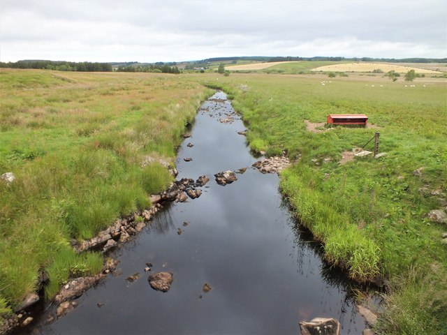
Loch Duisk is a freshwater loch located in Ayrshire, Scotland. Nestled amidst picturesque surroundings, this natural water body is a significant feature of the local landscape. With an area of approximately 10 acres, it is not classified as a large loch, but its charm lies in its tranquility and natural beauty.

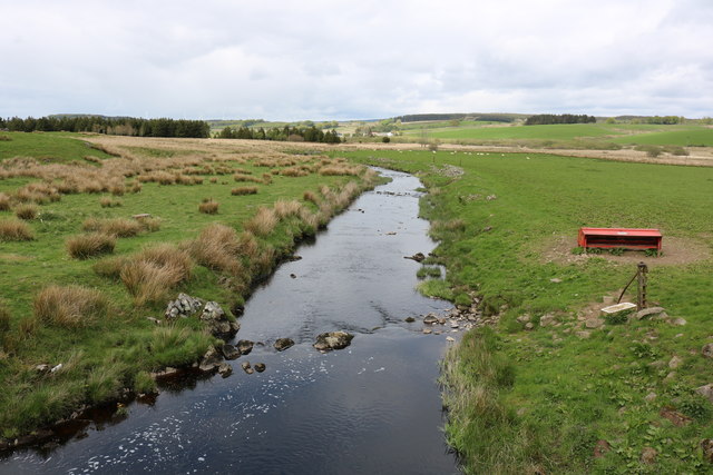
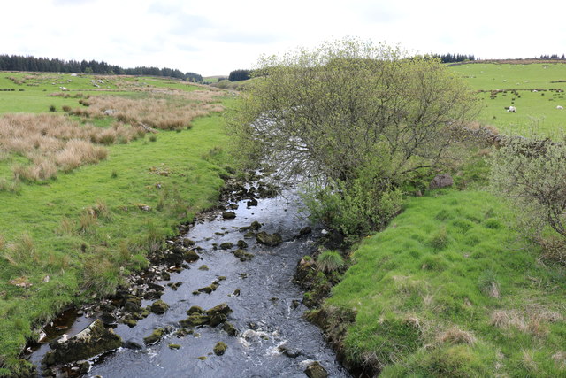
Surrounded by lush greenery, Loch Duisk is a popular spot for nature enthusiasts and bird watchers. Its calm waters attract a variety of bird species, making it an ideal location for bird watching and wildlife photography. Visitors can expect to see a range of waterfowl, including ducks, swans, and herons, among others. The loch also provides a habitat for several fish species such as trout and pike, making it an attractive spot for fishing enthusiasts.

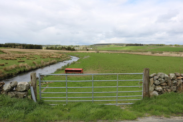
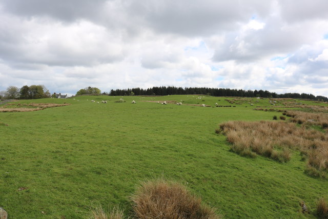
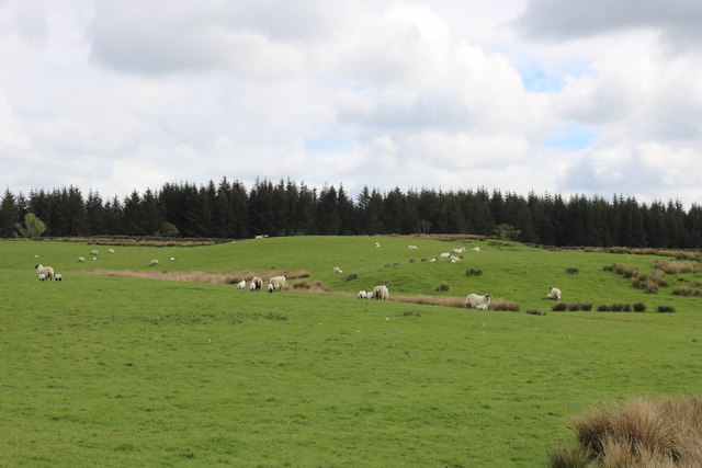
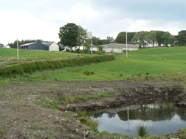
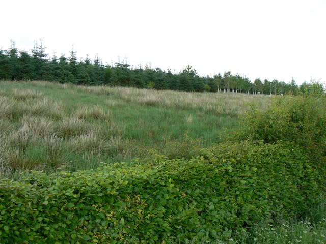
The surrounding area of Loch Duisk is a mix of woodland and open fields, providing a diverse habitat for various flora and fauna. The loch is bordered by reed beds and marshy areas, which further enhance its ecological significance. These freshwater marshes are home to a variety of plant life, including water lilies and reeds, creating a picturesque and serene environment.

Loch Duisk offers visitors the opportunity to enjoy a range of outdoor activities. Fishing is a popular pastime, and permits can be obtained locally. The calm waters also make it suitable for boating and kayaking, providing a peaceful and scenic experience.

Overall, Loch Duisk in Ayrshire is a captivating natural feature, offering a haven for wildlife and a peaceful retreat for visitors seeking to immerse themselves in the beauty of the Scottish countryside.

If you have any feedback on the listing, please let us know in the comments section below.
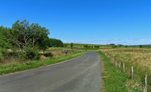
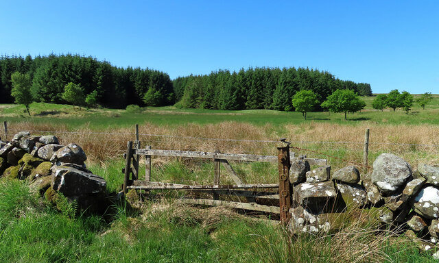
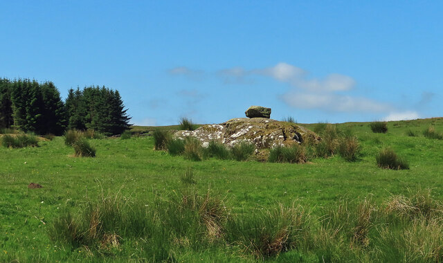
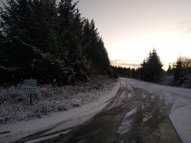
Loch Duisk Images

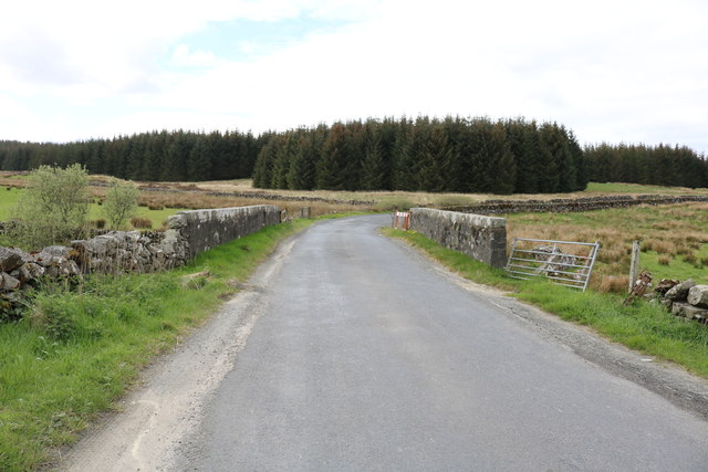
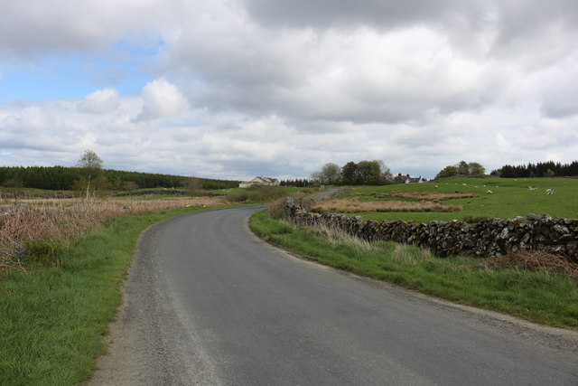
Images are sourced within 2km of 55.0809/-4.7270711 or Grid Reference NX2679. Thanks to Geograph Open Source API. All images are credited.

This way to Barrhill Looking along the B7027 on a bright early-June morning.
This way to Barrhill
Looking along the B7027 on a bright early-June morning.
Fields and trees near Barrhill Some young hardwoods with a conifer plantation in the background.
Fields and trees near Barrhill
Some young hardwoods with a conifer plantation in the background.
Rocks by the B7027 This looks interesting but, so far, I’ve found no information about the site.  It’s always tempting to see this sort of feature as something ancient but it probably is no more than a big rock with a stone on top.
Rocks by the B7027
This looks interesting but, so far, I’ve found no information about the site. It’s always tempting to see this sort of feature as something ancient but it probably is no more than a big rock with a stone on top.
Road to the windfarms A new road has been built, solely for access to the windfarms Arecleoch and Killgallioch. It makes use of a former forestry track, but is a lot wider and smoother than a typical forestry road.
Road to the windfarms
A new road has been built, solely for access to the windfarms Arecleoch and Killgallioch. It makes use of a former forestry track, but is a lot wider and smoother than a typical forestry road.
The B7027 to Barrhill With bridge over the Pollgowan Burn.
The B7027 to Barrhill
With bridge over the Pollgowan Burn.
The B7027 to Newton Stewart
Gate into Farmland at Knockycoid
Pollgowan Burn
Pollgowan Burn
Pollgowan Burn
Pollgowan Burn
Farmland at Knockycoid
Sheep Grazing at Knockycoid
Bridge Crossing Pollgowan Burn Heading towards Barrhill, there is a rivet benchmark on the left hand parapet.
Bridge Crossing Pollgowan Burn
Heading towards Barrhill, there is a rivet benchmark on the left hand parapet.
Ordnance Survey Rivet A benchmark on the parapet of the <a href="https://www.geograph.org.uk/photo/6201898">NX2579 : Bridge Crossing Pollgowan Burn</a>, for more information visit <span class="nowrap"><a title="www.bench-marks.org.uk/bm109111" rel="nofollow ugc noopener" href="http://www.bench-marks.org.uk/bm109111">Link</a><img style="margin-left:2px;" alt="External link" title="External link - shift click to open in new window" src="https://s1.geograph.org.uk/img/external.png" width="10" height="10"/></span>
Ordnance Survey Rivet
A benchmark on the parapet of the NX2579 : Bridge Crossing Pollgowan Burn, for more information visit LinkExternal link
Looking Down Pollgowan Burn Flowing down to Loch Duisk and on towards Barrhill.
Looking Down Pollgowan Burn
Flowing down to Loch Duisk and on towards Barrhill.
Nice pond, no ducks Artnoch Farm, seen from the A714 road.
Nice pond, no ducks
Artnoch Farm, seen from the A714 road.
Killantringan Farm
Killantringan Farm
Beech Hedge and conifers North of the A714.
Beech Hedge and conifers
North of the A714.
Near Knockcroon Looking west along the A714 towards Knockcroon.
Near Knockcroon
Looking west along the A714 towards Knockcroon.
Show me another place!

Loch Duisk is located at Grid Ref: NX2679 (Lat: 55.0809, Lng: -4.7270711)

Unitary Authority: South Ayrshire

Police Authority: Ayrshire

What 3 Words

///emulated.occupy.disclose. Near Girvan, South Ayrshire

Related Wikis

Barrhill, South Ayrshire

Barrhill (Scots: Baurhill) is a village in South Ayrshire, Scotland with a population of approximately 400 in 2001.While the surrounding area is predominantly...

Barrhill railway station

Barrhill railway station is a railway station serving the village of Barrhill, South Ayrshire, Scotland. The station is managed by ScotRail and is on the...

Kilgallioch

Kilgallioch Wind Farm is a 96 turbine wind farm in South Ayrshire, Scotland with a total capacity of up to 239 megawatts (MW). Consent granted by the Scottish...

Loch Dornal

Loch Dornal is an irregular shaped, shallow, freshwater loch in south Ayrshire, in the Southern Uplands of Scotland. It lies approximately eight miles...

Nearby Amenities

Located within 500m of 55.0809,-4.7270711
Power: pole
Lat/Long: 55.0848002/-4.7287551
Power: pole
Lat/Long: 55.0841931/-4.7289574
Power: pole
Lat/Long: 55.0834541/-4.7292302
Power: pole
Lat/Long: 55.0827851/-4.7294442
Power: pole
Lat/Long: 55.0820946/-4.7296841
Power: pole
Lat/Long: 55.0814148/-4.7299263
Power: pole
Lat/Long: 55.0805613/-4.7301944
Power: pole
Lat/Long: 55.0798707/-4.7289574
Power: pole
Lat/Long: 55.0794574/-4.7283365
Power: pole
Lat/Long: 55.0790563/-4.7277157
Power: pole
Lat/Long: 55.0784787/-4.7267585
Power: pole
Lat/Long: 55.0780237/-4.7259707
Power: pole
Lat/Long: 55.0775242/-4.7252088
Power: pole
Lat/Long: 55.077049/-4.7243904
Power: pole
Lat/Long: 55.0837759/-4.7300015
Power: pole
Lat/Long: 55.0842335/-4.7308717
The data included in this document is from www.openstreetmap.org. The data is made available under ODbL.

Have you been to Loch Duisk?

Leave your review of Loch Duisk below (or comments, questions and feedback).