Penwhapple Reservoir
Lake, Pool, Pond, Freshwater Marsh in Ayrshire
Scotland
Penwhapple Reservoir
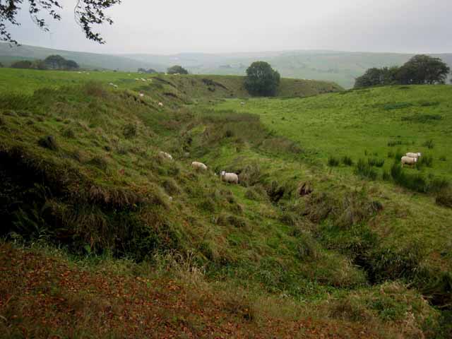
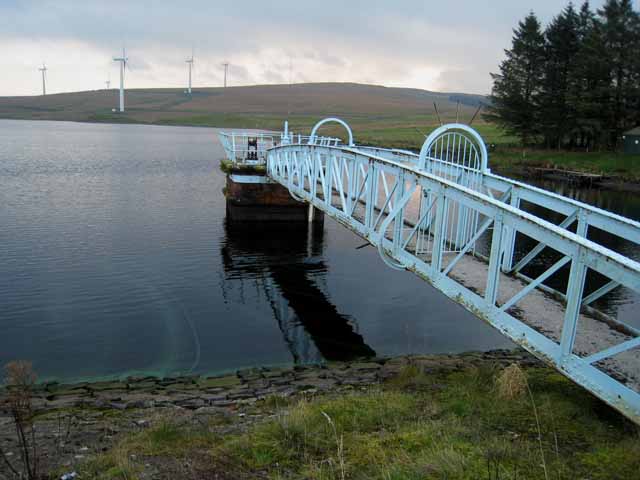
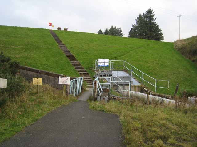
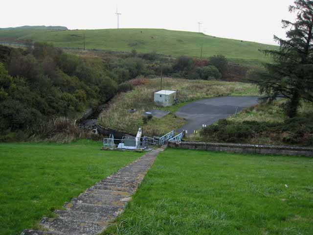
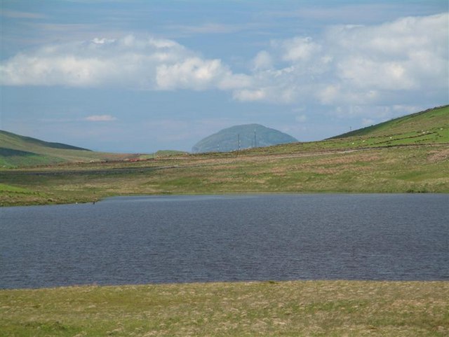
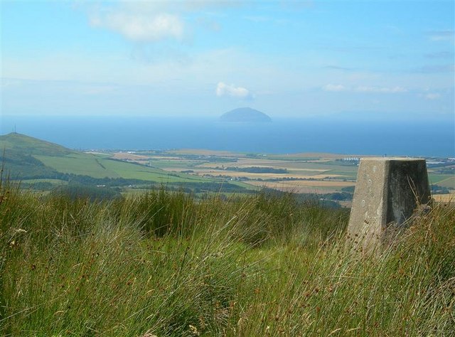
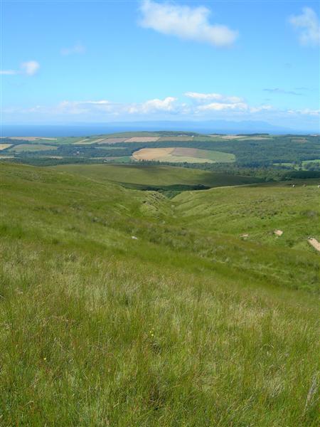
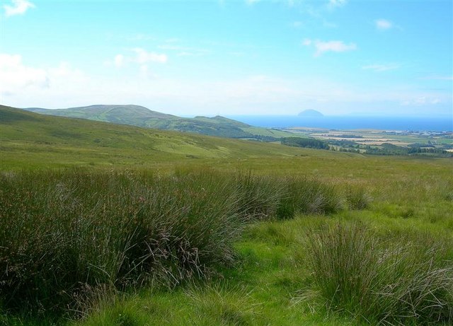
Penwhapple Reservoir is a man-made freshwater lake located in Ayrshire, Scotland. The reservoir was created in the early 20th century to supply water to the surrounding areas for irrigation and drinking purposes. It covers an area of approximately 25 hectares and has a maximum depth of around 12 meters.
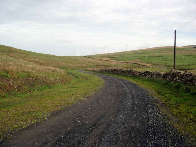
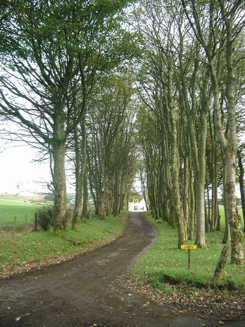
Surrounded by rolling hills and lush greenery, Penwhapple Reservoir is a popular spot for outdoor activities such as fishing, birdwatching, and picnicking. The reservoir is home to a variety of freshwater fish species, including perch, pike, and roach, making it a favorite destination for anglers.
The shores of Penwhapple Reservoir are lined with reeds and other aquatic plants, creating a habitat for a diverse range of bird species. Visitors can often spot herons, swans, and ducks around the reservoir, making it a great place for birdwatching enthusiasts.
Overall, Penwhapple Reservoir offers a peaceful and scenic setting for visitors to enjoy nature and relax in the tranquil surroundings of Ayrshire.
If you have any feedback on the listing, please let us know in the comments section below.
Penwhapple Reservoir Images
Images are sourced within 2km of 55.240511/-4.7377882 or Grid Reference NX2697. Thanks to Geograph Open Source API. All images are credited.


Penwhapple Reservoir is located at Grid Ref: NX2697 (Lat: 55.240511, Lng: -4.7377882)
Unitary Authority: South Ayrshire
Police Authority: Ayrshire
What 3 Words
///exists.foresight.cookers. Near Girvan, South Ayrshire
Nearby Locations
Related Wikis

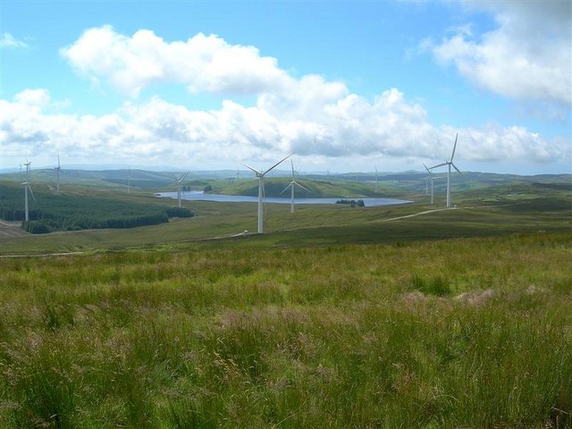
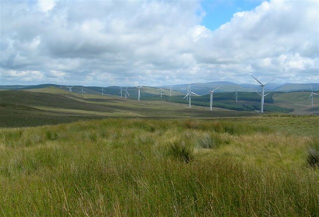
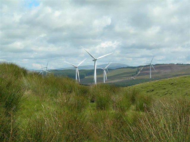
Hadyard Hill Wind Farm
Hadyard Hill Wind Farm is located in Carrick district of South Ayrshire. Costing £85 million, the wind farm consists of 52 three-bladed Siemens wind turbines...
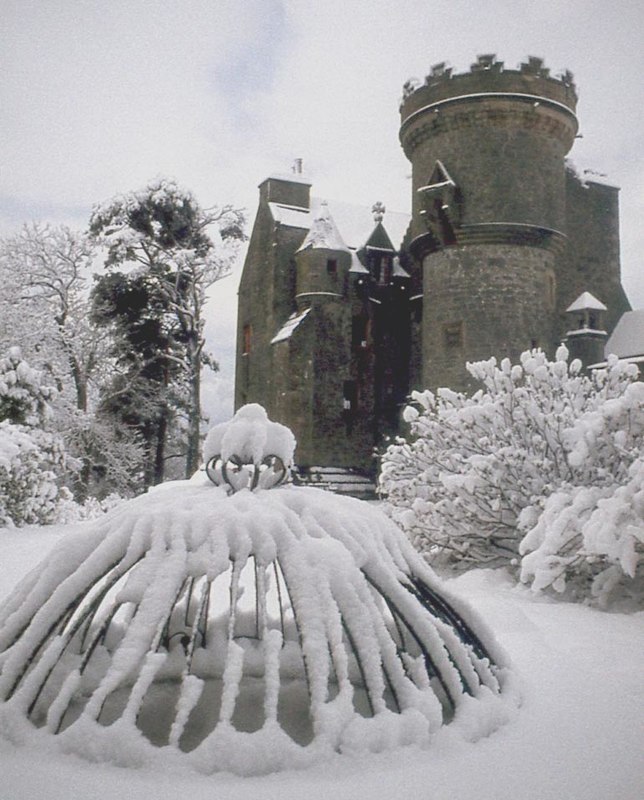
Penkill Castle
Penkill Castle is a 16th-century castle with later additions. It is around 1⁄2 mile (800 metres) south of Old Dailly, northeast of Girvan in south Ayrshire...

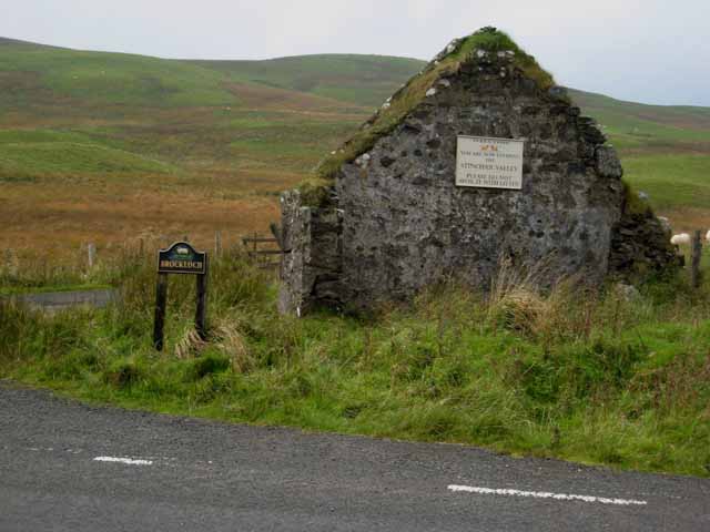
Old Dailly
Old Dailly is a hamlet in South Ayrshire, Scotland. It is located west of Dailly (or "New Dailly"). The Charter or Blue stones of Old Dailly in Ayrshire...
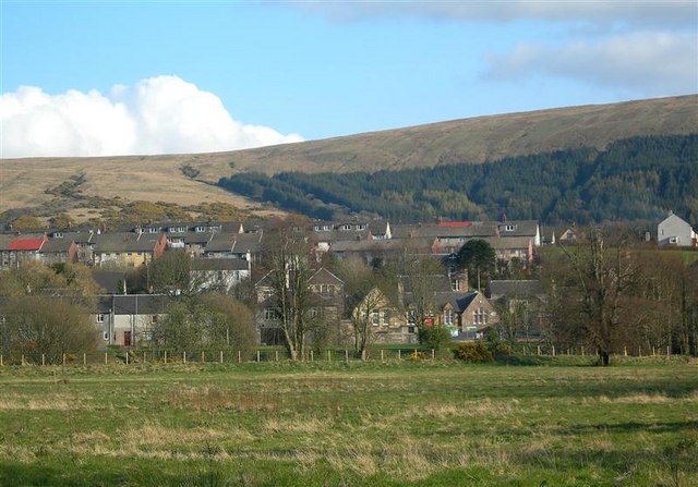
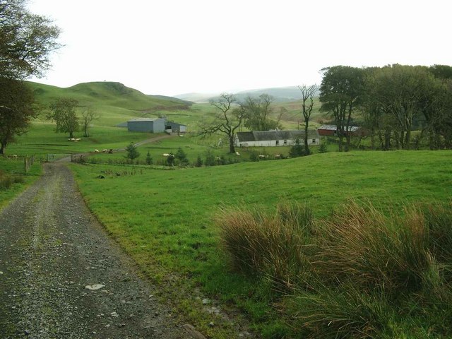
Dailly
Dailly (Scottish Gaelic: Dail Mhaol Chiarain) is a village in South Ayrshire, Scotland. It is located on the Water of Girvan, five miles (eight kilometres...
Nearby Amenities
Located within 500m of 55.240511,-4.7377882Have you been to Penwhapple Reservoir?
Leave your review of Penwhapple Reservoir below (or comments, questions and feedback).