Daff Reservoir
Lake, Pool, Pond, Freshwater Marsh in Renfrewshire
Scotland
Daff Reservoir
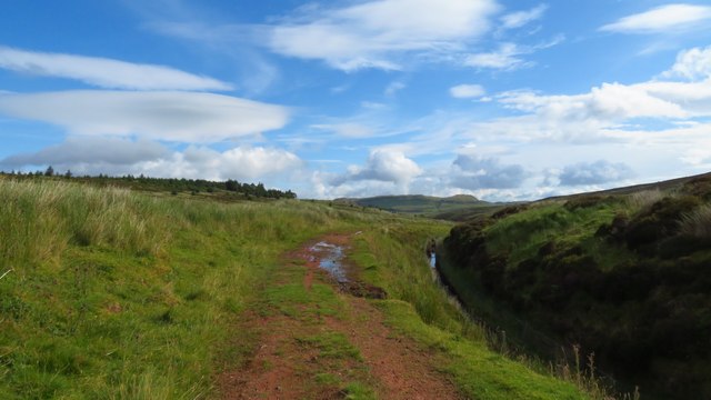
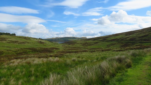
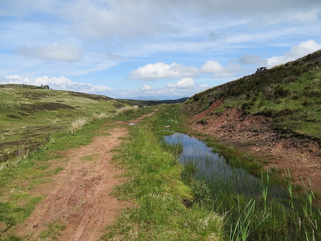
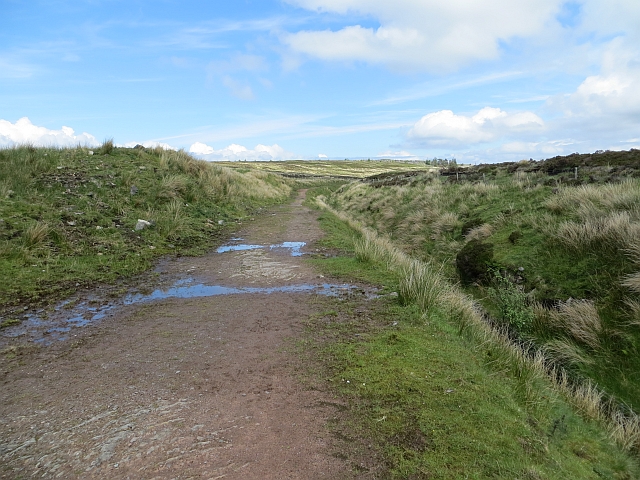
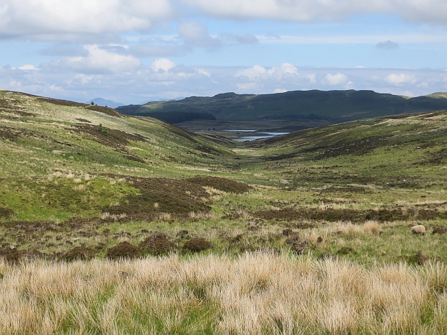
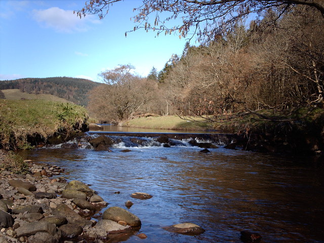
Daff Reservoir, located in Renfrewshire, Scotland, is a man-made freshwater reservoir that serves multiple purposes for the local community. Spanning an area of approximately 10 hectares, the reservoir was created by damming a small river to provide a reliable water source for nearby towns and villages.
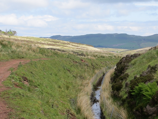
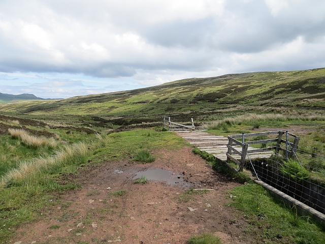
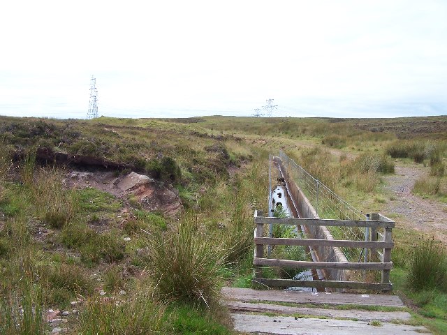
The calm waters of Daff Reservoir are surrounded by picturesque rolling hills and dense forests, offering a tranquil and scenic setting for outdoor enthusiasts. The reservoir is primarily used for recreational activities such as fishing, boating, and birdwatching. Anglers are drawn to the reservoir for its diverse fish population, which includes species such as pike, perch, and roach.
A variety of waterfowl and other bird species can be spotted in and around Daff Reservoir, making it a popular destination for birdwatchers. The surrounding wetlands and marshes provide a suitable habitat for these birds, attracting them throughout the year.
Aside from its recreational value, Daff Reservoir also plays a vital role in maintaining the local ecosystem. It acts as a natural flood control measure, helping to regulate water levels during periods of heavy rainfall. Additionally, the reservoir supports various aquatic plant species and provides a habitat for amphibians, insects, and other small organisms.
Overall, Daff Reservoir is a cherished natural resource in Renfrewshire, offering a range of recreational opportunities and contributing to the preservation of the local environment.
If you have any feedback on the listing, please let us know in the comments section below.
Daff Reservoir Images
Images are sourced within 2km of 55.898214/-4.8329015 or Grid Reference NS2270. Thanks to Geograph Open Source API. All images are credited.


Daff Reservoir is located at Grid Ref: NS2270 (Lat: 55.898214, Lng: -4.8329015)
Unitary Authority: Inverclyde
Police Authority: Renfrewshire and Inverclyde
What 3 Words
///volunteered.corrupted.tissue. Near Inverkip, Inverclyde
Nearby Locations
Related Wikis

Inverkip
Inverkip (; Scottish Gaelic: Inbhir Chip) is a village and parish in the Inverclyde council area and historic county of Renfrewshire in the west central...

Inverkip railway station
Inverkip railway station is a railway station serving the village of Inverkip, Inverclyde, Scotland. The station is managed by ScotRail and is on the Inverclyde...
Kip Water, Inverclyde
Kip Water, also known as the River Kip, is a short river in Inverclyde, Scotland which gives the village of Inverkip its name (Inverkip = mouth of the...
Ardgowan House
Ardgowan House, Castle & Gardens is a Privately owned late 18th-century mansion on the Firth of Clyde near Inverkip, Scotland. Ardgowan is located in Inverclyde...

Ardgowan Castle
Ardgowan Castle, originally called Inverkip Castle, is located in the Private Garden of "Ardgowan House, Castle & Gardens" near Inverkip, Scotland. It...

Loch Thom
Loch Thom is a reservoir which since 1827 has provided a water supply to the town of Greenock in Inverclyde, Scotland. It is named after the civil engineer...

Inverkip power station
Inverkip power station was an oil-fired power station in Inverclyde, on the west coast of Scotland. It was closer to Wemyss Bay than Inverkip, and dominated...

IBM railway station
IBM railway station (formerly known as IBM Halt) is a currently disused railway station on the Inverclyde Line, 25+1⁄2 miles (41 km) west of Glasgow Central...
Nearby Amenities
Located within 500m of 55.898214,-4.8329015Have you been to Daff Reservoir?
Leave your review of Daff Reservoir below (or comments, questions and feedback).