Leap Moor
Downs, Moorland in Renfrewshire
Scotland
Leap Moor
Leap Moor is a scenic area located in Renfrewshire, Scotland. Situated in the southern part of the county, it is known for its distinctive downs and vast expanses of moorland. With an approximate area of 50 square miles, Leap Moor offers visitors an opportunity to immerse themselves in the beauty of the Scottish countryside.
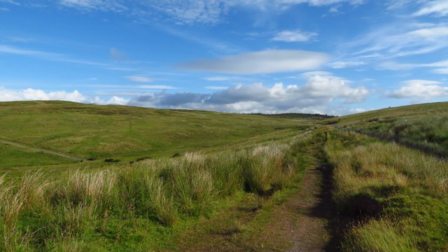
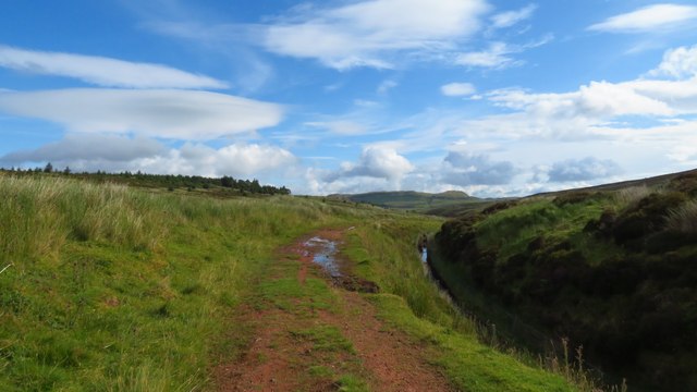
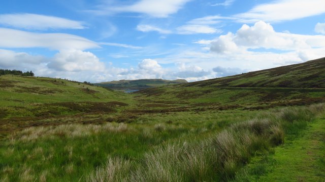
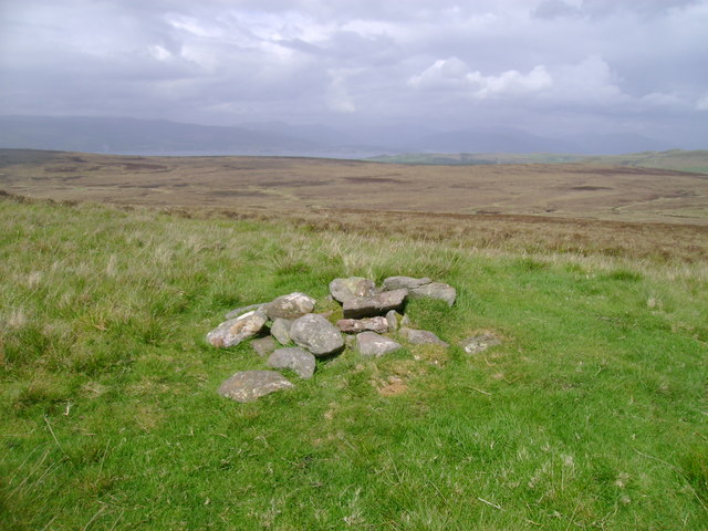
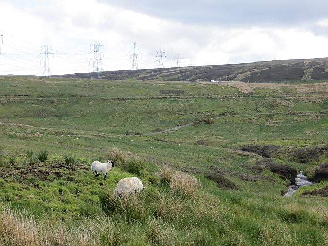
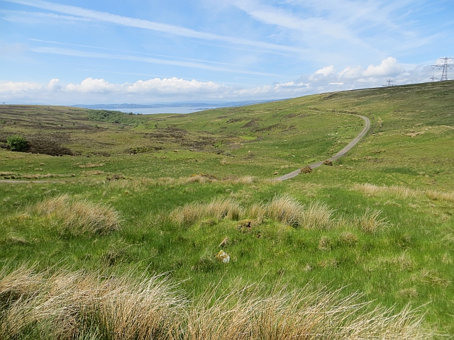
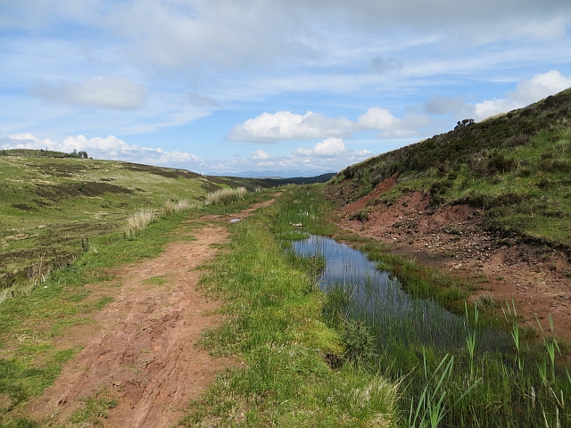
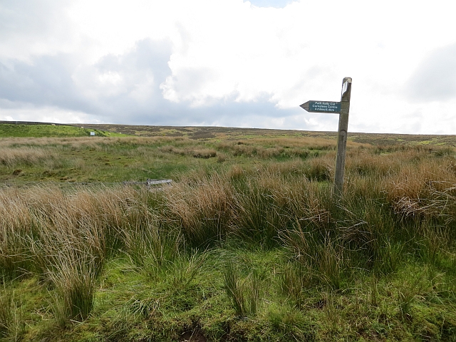
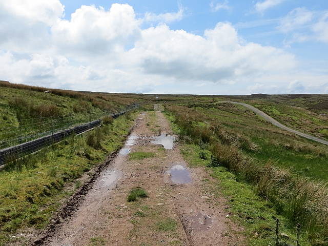
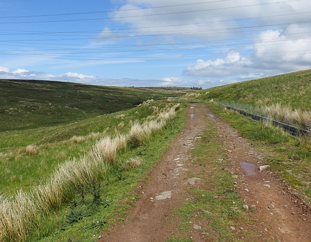
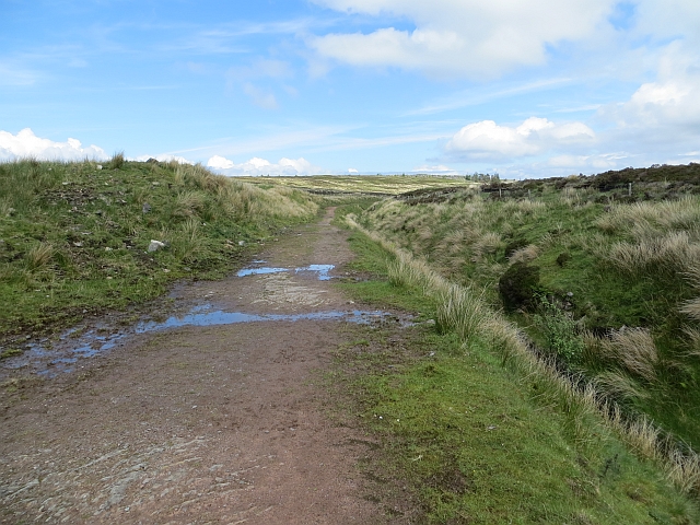
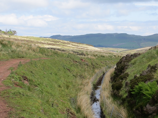
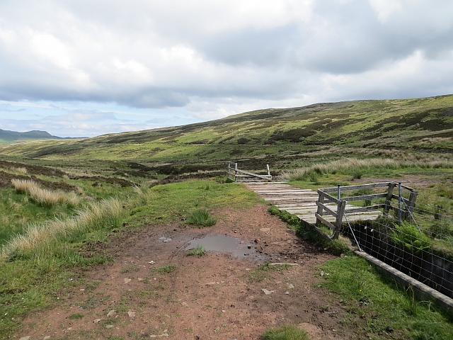
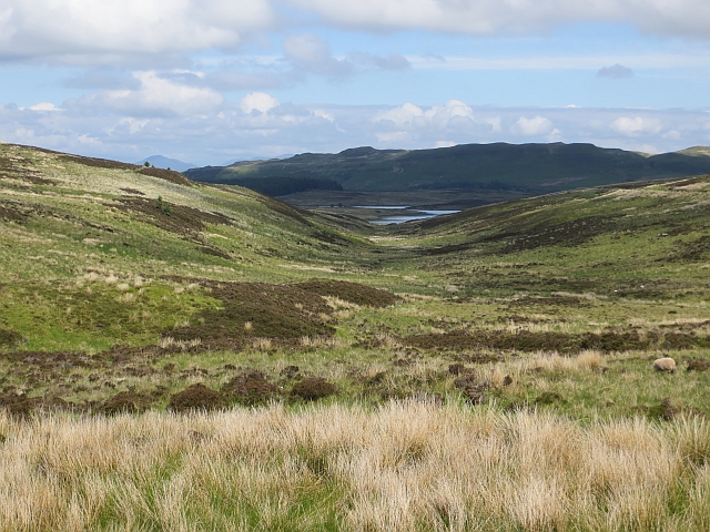
The downs of Leap Moor are characterized by gently rolling hills, covered in lush green grass and dotted with grazing sheep. The undulating landscape provides breathtaking panoramic views of the surrounding countryside, making it a popular spot for hikers, nature enthusiasts, and photographers. Walking trails crisscross the downs, allowing visitors to explore the area and appreciate the diverse flora and fauna it supports.
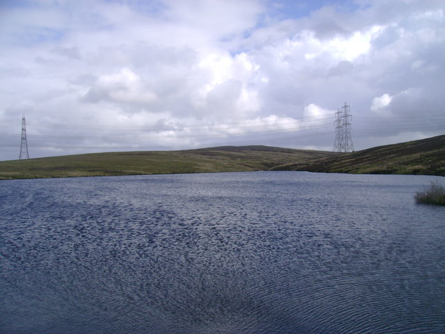
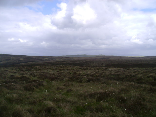
The moorland of Leap Moor is a captivating sight, with its wild and rugged beauty. Covered in heather, bracken, and gorse, the moorland is a haven for various wildlife species, including red grouse, curlews, and merlins. The vast expanse of open space creates a sense of tranquility and solitude, offering a perfect escape from the hustle and bustle of everyday life.
Leap Moor is also of historical and archaeological significance. The remains of Bronze Age settlements and burial sites can be found scattered across the area, providing a glimpse into the region's ancient past.
Overall, Leap Moor in Renfrewshire is a captivating destination, offering visitors a chance to connect with nature, explore the countryside, and delve into the rich history of the area.
If you have any feedback on the listing, please let us know in the comments section below.
Leap Moor Images
Images are sourced within 2km of 55.891604/-4.8330114 or Grid Reference NS2270. Thanks to Geograph Open Source API. All images are credited.
Leap Moor is located at Grid Ref: NS2270 (Lat: 55.891604, Lng: -4.8330114)
Unitary Authority: Inverclyde
Police Authority: Renfrewshire and Inverclyde
What 3 Words
///farmer.amphibian.pram. Near Inverkip, Inverclyde
Nearby Locations
Related Wikis

Inverkip
Inverkip (; Scottish Gaelic: Inbhir Chip) is a village and parish in the Inverclyde council area and historic county of Renfrewshire in the west central...

Inverkip railway station
Inverkip railway station is a railway station serving the village of Inverkip, Inverclyde, Scotland. The station is managed by ScotRail and is on the Inverclyde...
Kip Water, Inverclyde
Kip Water, also known as the River Kip, is a short river in Inverclyde, Scotland which gives the village of Inverkip its name (Inverkip = mouth of the...

Inverkip power station
Inverkip power station was an oil-fired power station in Inverclyde, on the west coast of Scotland. It was closer to Wemyss Bay than Inverkip, and dominated...

Wemyss Bay
Wemyss Bay ( ) is a village on the coast of the Firth of Clyde in Inverclyde in the west central Lowlands of Scotland. It is in the traditional county...

Ardgowan House
Ardgowan House, Castle & Gardens is a Privately owned late 18th-century mansion on the Firth of Clyde near Inverkip, Scotland. Ardgowan is located in Inverclyde...

Loch Thom
Loch Thom is a reservoir which since 1827 has provided a water supply to the town of Greenock in Inverclyde, Scotland. It is named after the civil engineer...

Ardgowan Castle
Ardgowan Castle, originally called Inverkip Castle, is located in the Private Garden of "Ardgowan House, Castle & Gardens" near Inverkip, Scotland. It...
Have you been to Leap Moor?
Leave your review of Leap Moor below (or comments, questions and feedback).