Glentirranmuir
Settlement in Stirlingshire
Scotland
Glentirranmuir
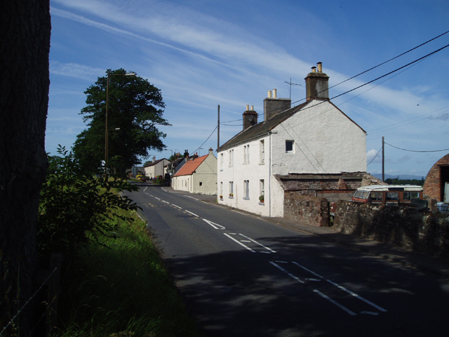
Glentirranmuir is a picturesque village located in the region of Stirlingshire, Scotland. Situated amidst rolling green hills and serene countryside, this charming settlement offers a tranquil escape from the hustle and bustle of city life. With a population of around 500 residents, Glentirranmuir exudes a close-knit community atmosphere.
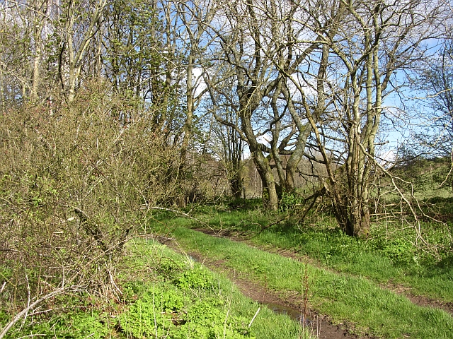
The village is renowned for its breathtaking natural beauty, surrounded by vast expanses of lush meadows, dense woodlands, and the majestic Trossachs National Park. This location makes it a haven for outdoor enthusiasts and nature lovers, who can explore the numerous hiking trails, cycle routes, and fishing spots that dot the area. The tranquil Glentirranmuir Loch is a popular spot for boating and wildlife observation, boasting a variety of bird species.
Glentirranmuir's quaint charm is reflected in its traditional architecture, with well-preserved stone cottages and historic buildings adding to its allure. The village is also home to a small but vibrant local economy, featuring a few shops, a post office, and a cozy pub where residents and visitors can socialize and unwind.
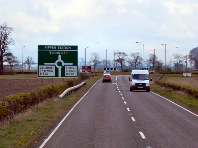
For those seeking cultural experiences, nearby attractions include the historic Stirling Castle, the National Wallace Monument, and the picturesque Loch Lomond. Glentirranmuir is well-connected to the wider region, with easy access to major road networks and public transportation options, making it an ideal base for exploring Stirlingshire and beyond.
In summary, Glentirranmuir offers a peaceful retreat in the heart of Scotland's stunning natural landscapes, where visitors can immerse themselves in the region's rich history and enjoy a close-knit community ambiance.
If you have any feedback on the listing, please let us know in the comments section below.
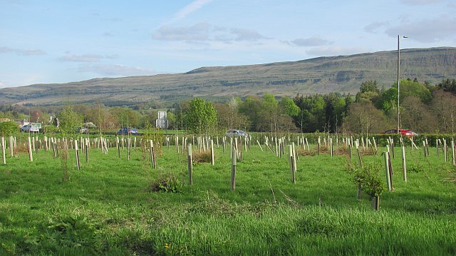
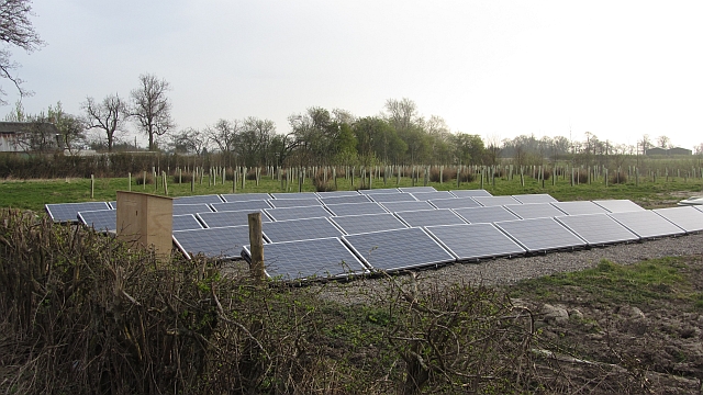
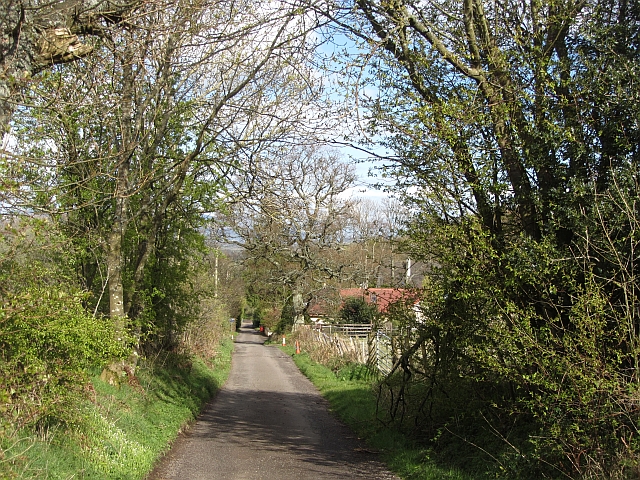
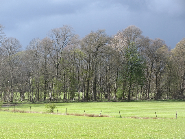
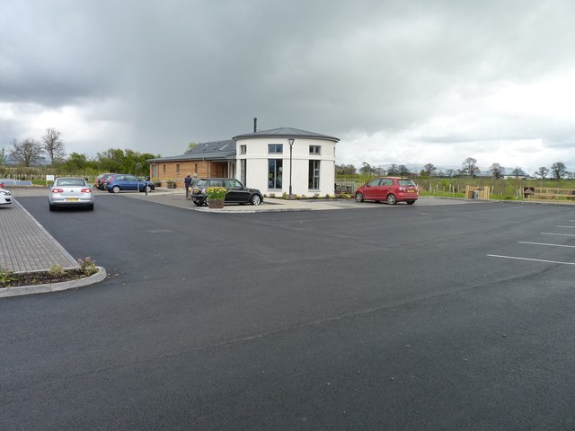
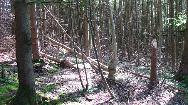
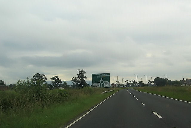
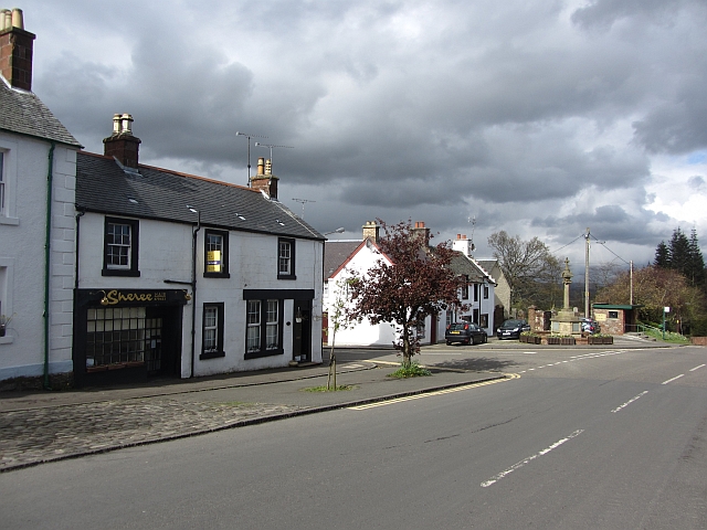
Glentirranmuir Images
Images are sourced within 2km of 56.123675/-4.161089 or Grid Reference NS6594. Thanks to Geograph Open Source API. All images are credited.


Glentirranmuir is located at Grid Ref: NS6594 (Lat: 56.123675, Lng: -4.161089)
Unitary Authority: Stirling
Police Authority: Forth Valley
What 3 Words
///conspire.skill.fixture. Near Kippen, Stirling
Nearby Locations
Related Wikis
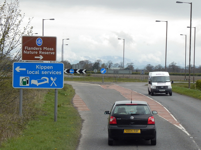
Kippen
Kippen is a village in west Stirlingshire, Scotland. It lies between the Gargunnock Hills and the Fintry Hills and overlooks the Carse of Forth to the...

Kippen railway station
Kippen railway station co-served the village of Kippen, Stirling, Scotland, from 1856 to 1934 on the Forth and Clyde Junction Railway. == History == The...

Fairfield Siding railway station
Fairfield Siding railway station co-served the village of Kippen, Stirling, Scotland, from 1861 to 1866 on the Forth and Clyde Junction Railway. ��2�...
Ladylands Platform railway station
Ladylands Platform railway station co-served the village of Kippen, Stirling, Scotland, from 1861 to 1934 on the Forth and Clyde Junction Railway. ��2...

Leckie Broch
Leckie Broch is an iron-age broch located in Stirlingshire, Scotland. == Location == Just above the confluence of two streams with deep gulleys on the...

Gargunnock Hills
The Gargunnock Hills are a range of hills west of the city of Stirling, Scotland. They culminate in the peak of Carleatheran, whose 485-metre (1,591 ft...

A811 road
The A811 is a road in central Scotland. It runs from Stirling to Balloch. == Route == The road starts off in the centre of Stirling, at the Craigs Roundabout...
Arnprior, Stirling
Arnprior is a hamlet in the Stirling council area of Scotland on the A811 about 12 miles west of Stirling and is one of the smallest community council...
Nearby Amenities
Located within 500m of 56.123675,-4.161089Have you been to Glentirranmuir?
Leave your review of Glentirranmuir below (or comments, questions and feedback).