Burnside Wood
Wood, Forest in Stirlingshire
Scotland
Burnside Wood
The requested URL returned error: 429 Too Many Requests
If you have any feedback on the listing, please let us know in the comments section below.
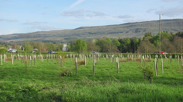
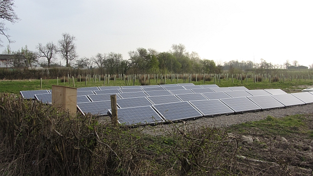
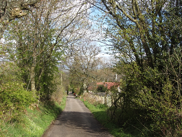
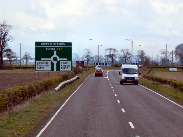
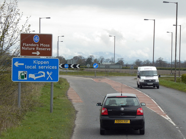
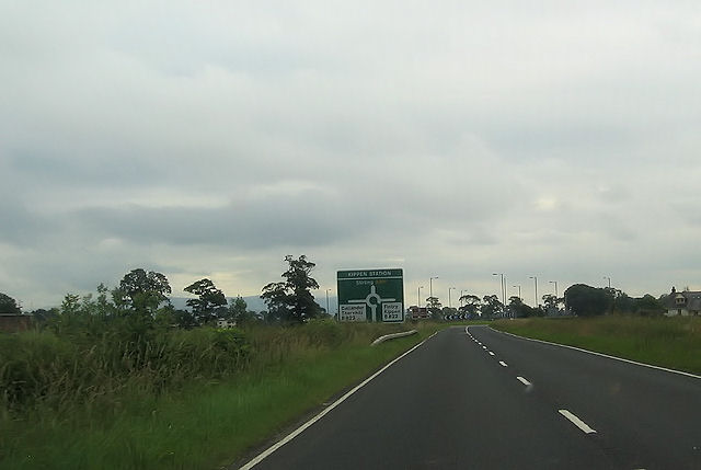
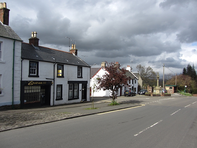
Burnside Wood Images
Images are sourced within 2km of 56.120344/-4.1713098 or Grid Reference NS6594. Thanks to Geograph Open Source API. All images are credited.


Burnside Wood is located at Grid Ref: NS6594 (Lat: 56.120344, Lng: -4.1713098)
Unitary Authority: Stirling
Police Authority: Forth Valley
What 3 Words
///solutions.tubes.bongo. Near Kippen, Stirling
Nearby Locations
Related Wikis
Kippen
Kippen is a village in west Stirlingshire, Scotland. It lies between the Gargunnock Hills and the Fintry Hills and overlooks the Carse of Forth to the...

Kippen railway station
Kippen railway station co-served the village of Kippen, Stirling, Scotland, from 1856 to 1934 on the Forth and Clyde Junction Railway. == History == The...

Fairfield Siding railway station
Fairfield Siding railway station co-served the village of Kippen, Stirling, Scotland, from 1861 to 1866 on the Forth and Clyde Junction Railway. ��2�...
Ladylands Platform railway station
Ladylands Platform railway station co-served the village of Kippen, Stirling, Scotland, from 1861 to 1934 on the Forth and Clyde Junction Railway. ��2...
Nearby Amenities
Located within 500m of 56.120344,-4.1713098Have you been to Burnside Wood?
Leave your review of Burnside Wood below (or comments, questions and feedback).