Asgog Loch

Lake, Pool, Pond, Freshwater Marsh in Argyllshire

Scotland

Asgog Loch

Trig point on Barr Iolaich 116m Surrounded by forest Some gardening to do before I could get a picture
Trig point on Barr Iolaich 116m Surrounded by forest Credit: John Ferguson

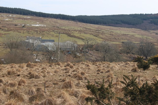
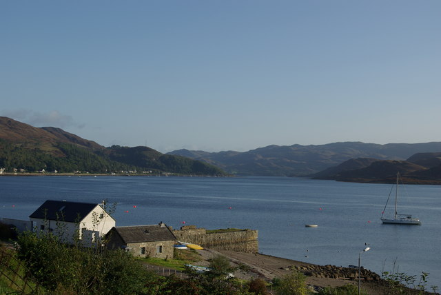
Asgog Loch, located in Argyllshire, Scotland, is a picturesque freshwater body that serves as a prominent natural feature in the region. Bordered by lush greenery and rolling hills, this loch encompasses an area of approximately 50 acres and provides a serene and tranquil environment for both locals and visitors alike.

The calm waters of Asgog Loch are fed by various small streams and springs, creating a pristine ecosystem that supports a diverse array of flora and fauna. The loch is known for its crystal-clear water, which reflects the surrounding landscape, adding to its visual allure.

Surrounded by a mix of deciduous and coniferous trees, Asgog Loch is a haven for numerous bird species, making it a popular spot for birdwatching enthusiasts. Visitors can spot a variety of waterfowl, such as geese, swans, and ducks, as well as rarer species like herons and ospreys.

Asgog Loch is also home to a rich aquatic life. Various fish species, including trout and perch, inhabit the waters, making it an attractive destination for anglers looking to enjoy a day of fishing. Additionally, the loch provides a habitat for amphibians, such as frogs and newts, adding to its ecological significance.

The surrounding area offers several walking trails, allowing visitors to explore the natural beauty of the loch and its surroundings. Whether it's a leisurely stroll or a more adventurous hike, Asgog Loch offers something for everyone.

Overall, Asgog Loch in Argyllshire is a scenic and ecologically diverse freshwater body, providing a peaceful retreat for nature enthusiasts and a habitat for a variety of wildlife.

If you have any feedback on the listing, please let us know in the comments section below.
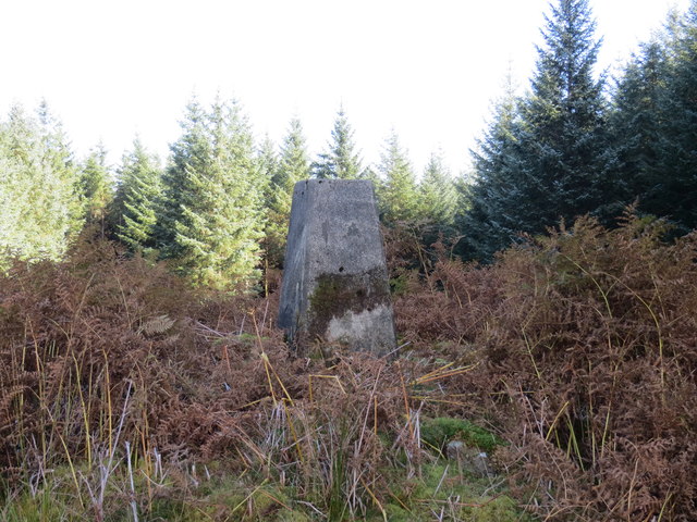
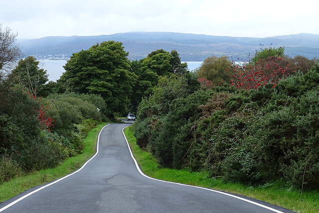
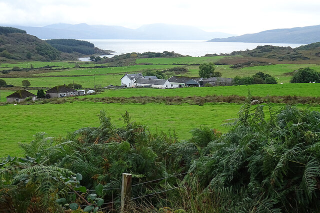
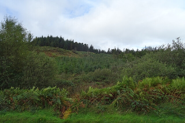
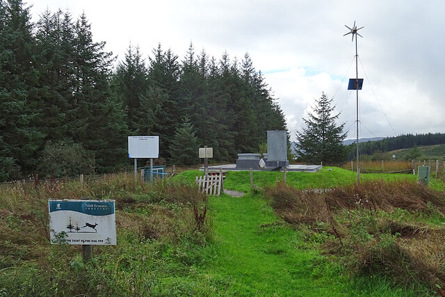
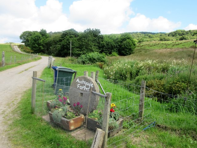
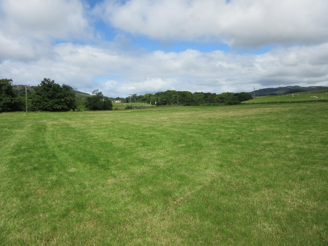
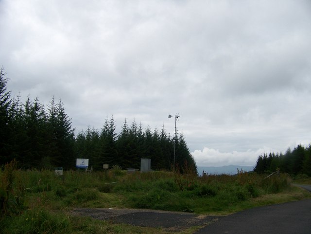
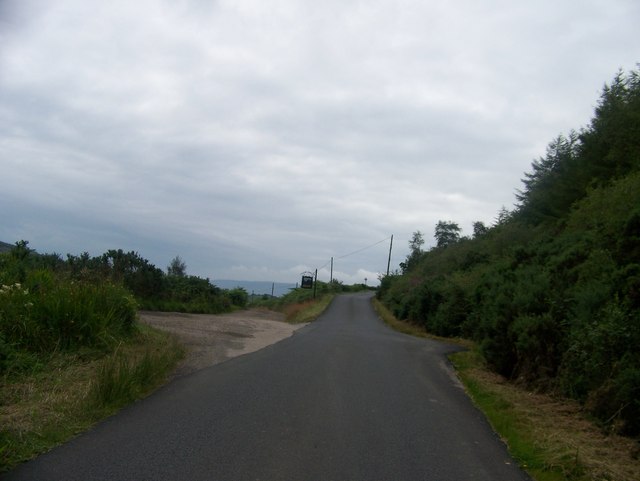
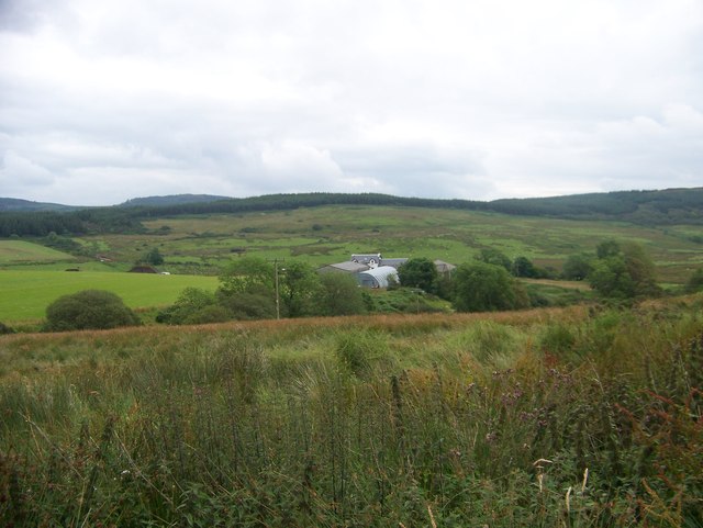
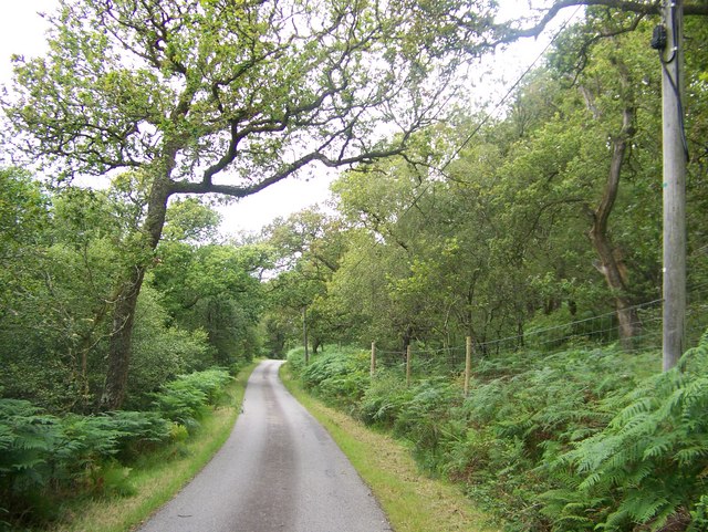
Asgog Loch Images

Images are sourced within 2km of 55.884453/-5.2816721 or Grid Reference NR9470. Thanks to Geograph Open Source API. All images are credited.

Trig point on Barr Iolaich 116m Surrounded by forest Some gardening to do before I could get a picture
Trig point on Barr Iolaich 116m Surrounded by forest
Some gardening to do before I could get a picture
Road to Portavadie The road descends to the shore at Portavadie. In the distance is Tarbert, on the opposite shore of Loch Fyne.
Road to Portavadie
The road descends to the shore at Portavadie. In the distance is Tarbert, on the opposite shore of Loch Fyne.
Stillaig Farm This is the view down to the shore if you stop and look over the tall bracken on the roadside west of Portavadie.
Stillaig Farm
This is the view down to the shore if you stop and look over the tall bracken on the roadside west of Portavadie.
Barr Iolaich From the Portavadie road.
Barr Iolaich
From the Portavadie road.
South Cowal (Portavadie) Reservoir Just beside the minor road between Portavadie and Millhouse.
South Cowal (Portavadie) Reservoir
Just beside the minor road between Portavadie and Millhouse.
Road to Auchgoyle Farm, near Millhouse
Field near Millhouse Grazing land forming part of Auchgoyle Farm.
Field near Millhouse
Grazing land forming part of Auchgoyle Farm.
Millhouse Settlement around a crossroads in Cowal.
Millhouse
Settlement around a crossroads in Cowal.
Old Milestone by the B8000, Kilfinan parish Stone post by the B8000, in parish of Kilfinan (Argyll & Bute District), between Kilfinan and Millhouse, opposite Milepost AB_TGOF04 <a href="https://www.geograph.org.uk/photo/6095771">NR9472 : Old Milepost by the B8000. Kilfinan parish</a> behind wire fence, East side of road.

Surveyed

Milestone Society National ID: AB_TGOF04A
Old Milestone by the B8000, Kilfinan parish
Stone post by the B8000, in parish of Kilfinan (Argyll & Bute District), between Kilfinan and Millhouse, opposite Milepost AB_TGOF04 NR9472 : Old Milepost by the B8000. Kilfinan parish behind wire fence, East side of road. Surveyed Milestone Society National ID: AB_TGOF04A
Old Milepost by the B8000, west of Kames, Kilfinan parish Dunoon plate by the B8000, in parish of Kilfinan (Argyll & Bute District), between Kames and Millhouse.

Inscription reads:-
{<-hand}
TIGHNABRUAICH
2 MILES

Surveyed

Milestone Society National ID: AB_TGOF02
Old Milepost by the B8000, west of Kames, Kilfinan parish
Dunoon plate by the B8000, in parish of Kilfinan (Argyll & Bute District), between Kames and Millhouse. Inscription reads:- {<-hand} TIGHNABRUAICH 2 MILES Surveyed Milestone Society National ID: AB_TGOF02
Old Milepost by the B8800, Millhouse, Kilfinan parish Dunoon plate by the B8000, in parish of Kilfinan (Argyll &amp;amp; Bute District), North of Millhouse, North of lane to Auchoirk Cottages, West side of road.

Inscription reads:-
{&amp;lt;-hand}
TIGHNABRUAICH
3 MILES
{diamond}

Surveyed

Milestone Society National ID: AB_TGOF03
Old Milepost by the B8800, Millhouse, Kilfinan parish
Dunoon plate by the B8000, in parish of Kilfinan (Argyll & Bute District), North of Millhouse, North of lane to Auchoirk Cottages, West side of road. Inscription reads:- {<-hand} TIGHNABRUAICH 3 MILES {diamond} Surveyed Milestone Society National ID: AB_TGOF03
Old Milepost by the B8000. Kilfinan parish Dunoon plate by the B8000, in parish of Kilfinan (Argyll &amp;amp; Bute District), between Kilfinan &amp;amp; Millhouse, roadside verge in woods, West side of road, opposite Milestone AB_TGOF04A &lt;a href=&quot;https://www.geograph.org.uk/photo/6048000&quot;&gt;NR9472 : Old Milestone by the B8000, Kilfinan parish&lt;/a&gt;

Inscription reads:-
{&amp;lt;-pointing hand}
TIGHNABRUAICH
2 MILES
{diamond}

Surveyed

Milestone Society National ID: AB_TGOF04
Old Milepost by the B8000. Kilfinan parish
Dunoon plate by the B8000, in parish of Kilfinan (Argyll & Bute District), between Kilfinan & Millhouse, roadside verge in woods, West side of road, opposite Milestone AB_TGOF04A NR9472 : Old Milestone by the B8000, Kilfinan parish Inscription reads:- {<-pointing hand} TIGHNABRUAICH 2 MILES {diamond} Surveyed Milestone Society National ID: AB_TGOF04
Old milepost The 2 mile post on the B8000 Tighnabruaich to Otter Ferry road having had vegetation cleared, been straightened and repainted in 2021.   This style of casting is on many roads in the Dunoon area.  It is bolted to large boulder the size of a fridge lying on a bed of peat.  An attempt was made in 2010 to steal it and take it to Australia.
Old milepost
The 2 mile post on the B8000 Tighnabruaich to Otter Ferry road having had vegetation cleared, been straightened and repainted in 2021. This style of casting is on many roads in the Dunoon area. It is bolted to large boulder the size of a fridge lying on a bed of peat. An attempt was made in 2010 to steal it and take it to Australia.
Reservoir near Millhouse
Road to Stillaig farm
Stillaig Farm
Stillaig Farm
Unclassified road heading to Millhouse
Stillaig Farm
Stillaig Farm
Show me another place!

Asgog Loch is located at Grid Ref: NR9470 (Lat: 55.884453, Lng: -5.2816721)

Unitary Authority: Argyll and Bute

Police Authority: Argyll and West Dunbartonshire

What 3 Words

///warrior.speakers.commoners. Near Tarbert, Argyll & Bute

Related Wikis

Asgog Loch

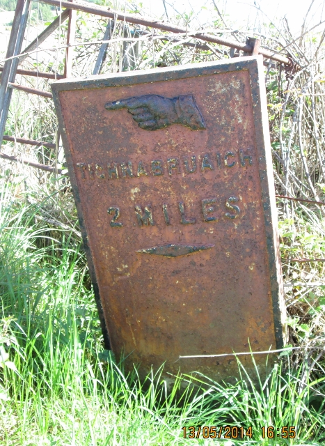
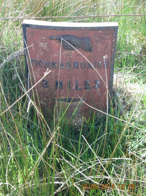
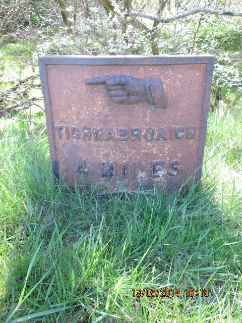
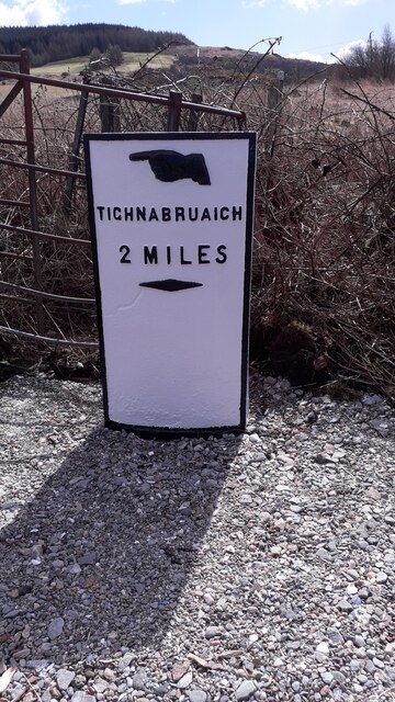
Asgog Loch is a natural freshwater loch in Argyll and Bute, Scotland. It is located about 4 kilometres (2.5 mi) southwest of Tighnabruaich, on the Cowal...

Millhouse, Argyll

Millhouse is a village in the parish of Kilfinan. Located on the B8000 inland from Kames in the east and Portavadie in the west, on the Cowal peninsula...

Portavadie

Portavadie (Scottish Gaelic: Port a' Mhadaidh) is a village on the shores of Loch Fyne in Argyll and Bute, Scotland.The Portavadie complex was built in...

Polphail

Polphail was a ghost village in Scotland. It was demolished in 2016. == Location == Polphail was located at Portavadie on the west coast of the Cowal Peninsula...

Kames, Argyll

Kames (Scottish Gaelic: Camas nam Muclach) is a small village on the Cowal peninsula in Argyll and Bute, Scotland, on the shore of the west arm of the...

Craignafeich Reservoirs

The Craignafeich Reservoirs (also “Craignafeoch”) are a pair of lochs in Archarossan Forest, 3 kilometres west of Tighnabruaich. The main concrete dam...

Tighnabruaich

Tighnabruaich; ( ; Scottish Gaelic: Taigh na Bruaich) is a village on the Cowal peninsula, on the western arm of the Kyles of Bute in Argyll and Bute,...

Tighnabruaich Lifeboat Station

Tighnabruaich Lifeboat Station is located in the Kyles of Bute. It has been in use for nearly 40 years. The inshore lifeboat carries out rescues mainly...

Related Videos

HIKING on the WEST COAST of SCOTLAND 🏴󠁧󠁢󠁳󠁣󠁴󠁿 - ARGYLL´S SECRET COAST, LOCH FYNE

Come us with and discover one of the hidden gems of Scotland: the Argyll´s Secret Coast. In this video, we walk around the ...

PORTAVADIE,ARGYLL & BUTE,SCOTLAND-2018

Traveling Scotland #Travel #Scotland #Portavadie #ArgyllBute Portavadie is a village on the shores of Loch Fyne on the west ...

Portavadie 2019

Trip to Portavadie #portavadie #scotland.

Nearby Amenities

Located within 500m of 55.884453,-5.2816721
Ascog Keep
Historic: ruins
Lat/Long: 55.8840667/-5.284621
Turning Circle
Lat/Long: 55.8833665/-5.2854872
Ford: yes
Lat/Long: 55.8871937/-5.2754969
Ford: yes
Lat/Long: 55.887273/-5.2779837
Ford: yes
Lat/Long: 55.8872413/-5.2812335
The data included in this document is from www.openstreetmap.org. The data is made available under ODbL.

Have you been to Asgog Loch?

Leave your review of Asgog Loch below (or comments, questions and feedback).