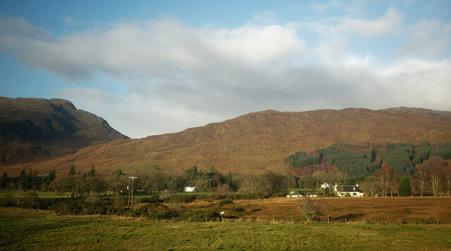
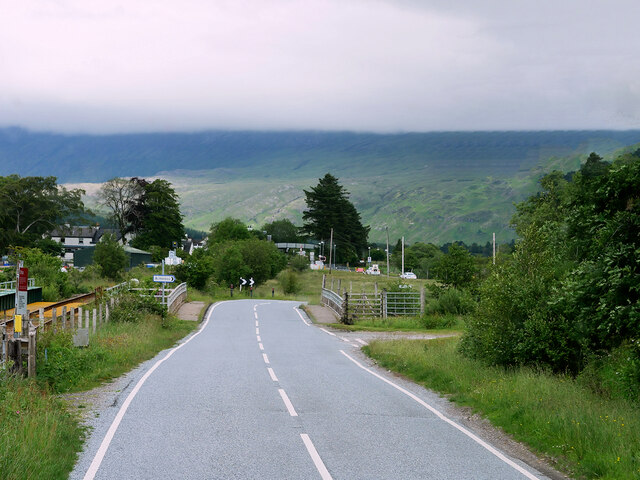
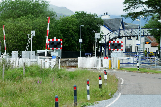
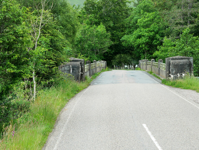
Gob an Lochain

Lake, Pool, Pond, Freshwater Marsh in Ross-shire

Scotland

Gob an Lochain

On the approach to Strathcarron Station Looking towards New Kelso.
On the approach to Strathcarron Station Credit: Julian Paren

The requested URL returned error: 429 Too Many Requests

If you have any feedback on the listing, please let us know in the comments section below.

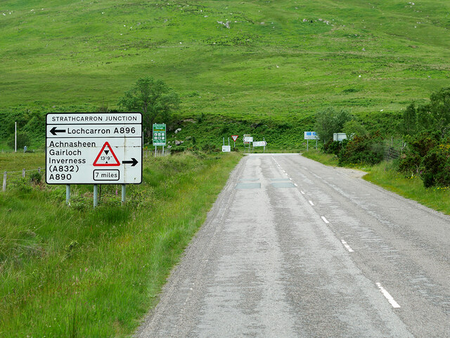
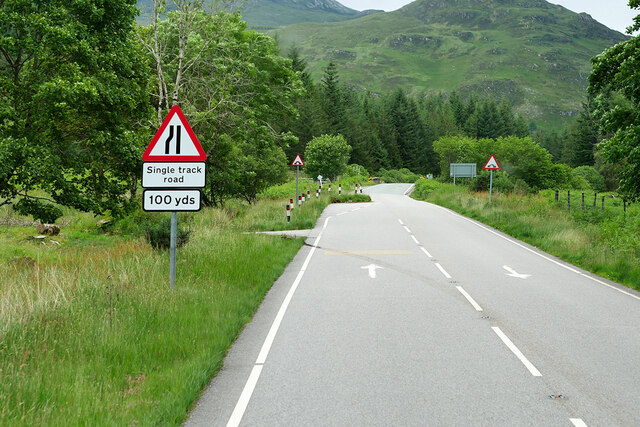
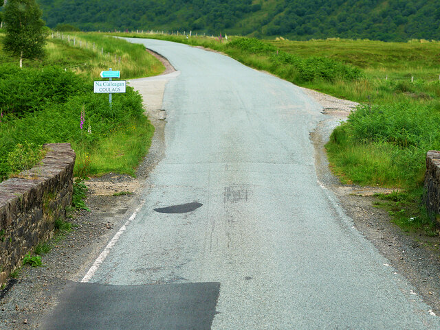
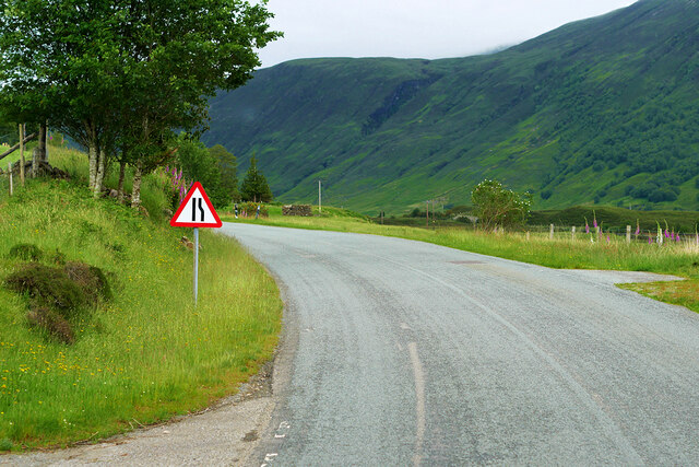
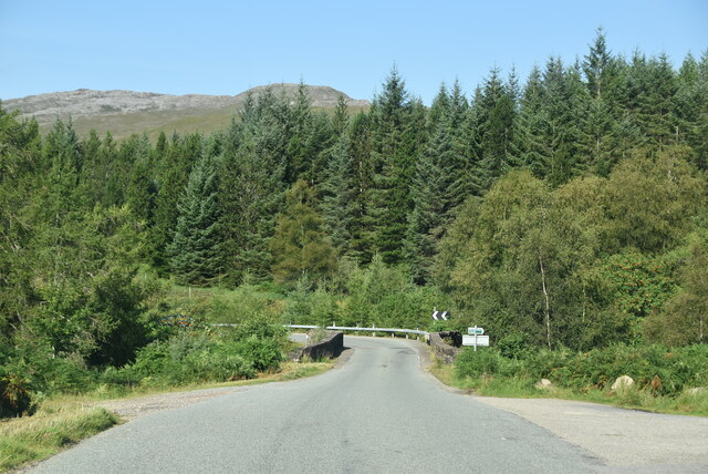
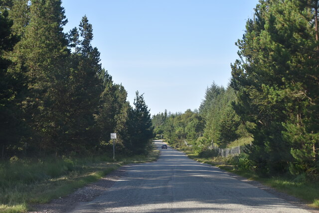
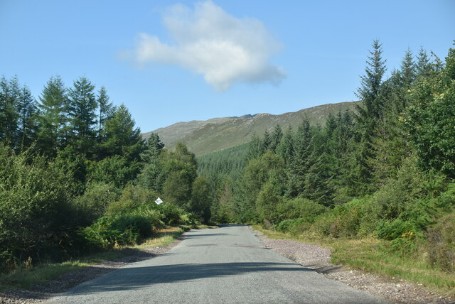
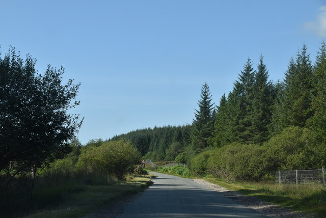
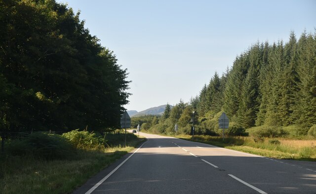
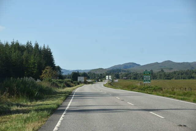
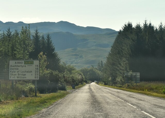
Gob an Lochain Images

Images are sourced within 2km of 57.435698/-5.4188918 or Grid Reference NG9443. Thanks to Geograph Open Source API. All images are credited.

On the approach to Strathcarron Station Looking towards New Kelso.
On the approach to Strathcarron Station
Looking towards New Kelso.
A890 at Achintee The A890 is a non-primary cross-country route in sparsely populated, mountainous terrain from Lochalsh and Skye on the west coast of the Highlands to Achnasheen where it joins the A832 to Inverness. Like many Highland roads, the A890 was entirely single track until the 1960s, but road improvements in recent years (along with improvements on the A832) have made it increasingly popular as an alternative route between Inverness and the Isle of Skye, avoiding the A82 along Loch Ness. It is also an important route for residents of the Lochalsh, Applecross and Strathcarron areas, connecting them to the services of  Kyle of Lochalsh , as well as the High School in Plockton.
A890 at Achintee
The A890 is a non-primary cross-country route in sparsely populated, mountainous terrain from Lochalsh and Skye on the west coast of the Highlands to Achnasheen where it joins the A832 to Inverness. Like many Highland roads, the A890 was entirely single track until the 1960s, but road improvements in recent years (along with improvements on the A832) have made it increasingly popular as an alternative route between Inverness and the Isle of Skye, avoiding the A82 along Loch Ness. It is also an important route for residents of the Lochalsh, Applecross and Strathcarron areas, connecting them to the services of Kyle of Lochalsh , as well as the High School in Plockton.
Strathcarron Level Crossing and Station Strathcarron railway station is a remote station on the Kyle of Lochalsh Line, 45 miles from Dingwall. It serves the small village of Strathcarron and the larger village of Lochcarron in the Scottish Highlands. It has one of the Kyle line’s three passing loops.

The station was opened to passengers on 19 August 1870 by the Dingwall and Skye Railway. The lattice-girder footbridge was built by the Rose Street Foundry in 1900.
Strathcarron Level Crossing and Station
Strathcarron railway station is a remote station on the Kyle of Lochalsh Line, 45 miles from Dingwall. It serves the small village of Strathcarron and the larger village of Lochcarron in the Scottish Highlands. It has one of the Kyle line’s three passing loops. The station was opened to passengers on 19 August 1870 by the Dingwall and Skye Railway. The lattice-girder footbridge was built by the Rose Street Foundry in 1900.
A890, Bridge over River Carron The A890 is a non-primary cross-country route in sparsely populated, mountainous terrain from Lochalsh and Skye on the west coast of the Highlands to Achnasheen where it joins the A832 to Inverness. Like many Highland roads, the A890 was entirely single track until the 1960s, but road improvements in recent years (along with improvements on the A832) have made it increasingly popular as an alternative route between Inverness and the Isle of Skye, avoiding the A82 along Loch Ness. It is also an important route for residents of the Lochalsh, Applecross and Strathcarron areas, connecting them to the services of  Kyle of Lochalsh , as well as the High School in Plockton.
A890, Bridge over River Carron
The A890 is a non-primary cross-country route in sparsely populated, mountainous terrain from Lochalsh and Skye on the west coast of the Highlands to Achnasheen where it joins the A832 to Inverness. Like many Highland roads, the A890 was entirely single track until the 1960s, but road improvements in recent years (along with improvements on the A832) have made it increasingly popular as an alternative route between Inverness and the Isle of Skye, avoiding the A82 along Loch Ness. It is also an important route for residents of the Lochalsh, Applecross and Strathcarron areas, connecting them to the services of Kyle of Lochalsh , as well as the High School in Plockton.
A890 approaching Strathcarron Junction The A890 is a non-primary cross-country route in sparsely populated, mountainous terrain from Lochalsh and Skye on the west coast of the Highlands to Achnasheen where it joins the A832 to Inverness. Like many Highland roads, the A890 was entirely single track until the 1960s, but road improvements in recent years (along with improvements on the A832) have made it increasingly popular as an alternative route between Inverness and the Isle of Skye, avoiding the A82 along Loch Ness. It is also an important route for residents of the Lochalsh, Applecross and Strathcarron areas, connecting them to the services of  Kyle of Lochalsh , as well as the High School in Plockton.
A890 approaching Strathcarron Junction
The A890 is a non-primary cross-country route in sparsely populated, mountainous terrain from Lochalsh and Skye on the west coast of the Highlands to Achnasheen where it joins the A832 to Inverness. Like many Highland roads, the A890 was entirely single track until the 1960s, but road improvements in recent years (along with improvements on the A832) have made it increasingly popular as an alternative route between Inverness and the Isle of Skye, avoiding the A82 along Loch Ness. It is also an important route for residents of the Lochalsh, Applecross and Strathcarron areas, connecting them to the services of Kyle of Lochalsh , as well as the High School in Plockton.
A890 Eastbound The A890 is a non-primary cross-country route in sparsely populated, mountainous terrain from Lochalsh and Skye on the west coast of the Highlands to Achnasheen where it joins the A832 to Inverness. Like many Highland roads, the A890 was entirely single track until the 1960s, but road improvements in recent years (along with improvements on the A832) have made it increasingly popular as an alternative route between Inverness and the Isle of Skye, avoiding the A82 along Loch Ness. It is also an important route for residents of the Lochalsh, Applecross and Strathcarron areas, connecting them to the services of  Kyle of Lochalsh , as well as the High School in Plockton.
A890 Eastbound
The A890 is a non-primary cross-country route in sparsely populated, mountainous terrain from Lochalsh and Skye on the west coast of the Highlands to Achnasheen where it joins the A832 to Inverness. Like many Highland roads, the A890 was entirely single track until the 1960s, but road improvements in recent years (along with improvements on the A832) have made it increasingly popular as an alternative route between Inverness and the Isle of Skye, avoiding the A82 along Loch Ness. It is also an important route for residents of the Lochalsh, Applecross and Strathcarron areas, connecting them to the services of Kyle of Lochalsh , as well as the High School in Plockton.
Passing Place on the A890 The A890 is a non-primary cross-country route in sparsely populated, mountainous terrain from Lochalsh and Skye on the west coast of the Highlands to Achnasheen where it joins the A832 to Inverness. Like many Highland roads, the A890 was entirely single track until the 1960s, but road improvements in recent years (along with improvements on the A832) have made it increasingly popular as an alternative route between Inverness and the Isle of Skye, avoiding the A82 along Loch Ness. It is also an important route for residents of the Lochalsh, Applecross and Strathcarron areas, connecting them to the services of  Kyle of Lochalsh , as well as the High School in Plockton.
Passing Place on the A890
The A890 is a non-primary cross-country route in sparsely populated, mountainous terrain from Lochalsh and Skye on the west coast of the Highlands to Achnasheen where it joins the A832 to Inverness. Like many Highland roads, the A890 was entirely single track until the 1960s, but road improvements in recent years (along with improvements on the A832) have made it increasingly popular as an alternative route between Inverness and the Isle of Skye, avoiding the A82 along Loch Ness. It is also an important route for residents of the Lochalsh, Applecross and Strathcarron areas, connecting them to the services of Kyle of Lochalsh , as well as the High School in Plockton.
A890, Coulags Bridge The A890 is a non-primary cross-country route in sparsely populated, mountainous terrain from Lochalsh and Skye on the west coast of the Highlands to Achnasheen where it joins the A832 to Inverness. Like many Highland roads, the A890 was entirely single track until the 1960s, but road improvements in recent years (along with improvements on the A832) have made it increasingly popular as an alternative route between Inverness and the Isle of Skye, avoiding the A82 along Loch Ness. It is also an important route for residents of the Lochalsh, Applecross and Strathcarron areas, connecting them to the services of  Kyle of Lochalsh , as well as the High School in Plockton.
A890, Coulags Bridge
The A890 is a non-primary cross-country route in sparsely populated, mountainous terrain from Lochalsh and Skye on the west coast of the Highlands to Achnasheen where it joins the A832 to Inverness. Like many Highland roads, the A890 was entirely single track until the 1960s, but road improvements in recent years (along with improvements on the A832) have made it increasingly popular as an alternative route between Inverness and the Isle of Skye, avoiding the A82 along Loch Ness. It is also an important route for residents of the Lochalsh, Applecross and Strathcarron areas, connecting them to the services of Kyle of Lochalsh , as well as the High School in Plockton.
A890 near Coulags The A890 is a non-primary cross-country route in sparsely populated, mountainous terrain from Lochalsh and Skye on the west coast of the Highlands to Achnasheen where it joins the A832 to Inverness. Like many Highland roads, the A890 was entirely single track until the 1960s, but road improvements in recent years (along with improvements on the A832) have made it increasingly popular as an alternative route between Inverness and the Isle of Skye, avoiding the A82 along Loch Ness. It is also an important route for residents of the Lochalsh, Applecross and Strathcarron areas, connecting them to the services of  Kyle of Lochalsh , as well as the High School in Plockton.
A890 near Coulags
The A890 is a non-primary cross-country route in sparsely populated, mountainous terrain from Lochalsh and Skye on the west coast of the Highlands to Achnasheen where it joins the A832 to Inverness. Like many Highland roads, the A890 was entirely single track until the 1960s, but road improvements in recent years (along with improvements on the A832) have made it increasingly popular as an alternative route between Inverness and the Isle of Skye, avoiding the A82 along Loch Ness. It is also an important route for residents of the Lochalsh, Applecross and Strathcarron areas, connecting them to the services of Kyle of Lochalsh , as well as the High School in Plockton.
A890, Coulags Bridge The A890 runs 32 miles from Achnasheen to Auchtertyre.
<span class="nowrap"><a title="https://www.sabre-roads.org.uk/wiki/index.php?title=A890" rel="nofollow ugc noopener" href="https://www.sabre-roads.org.uk/wiki/index.php?title=A890">Link</a><img style="margin-left:2px;" alt="External link" title="External link - shift click to open in new window" src="https://s1.geograph.org.uk/img/external.png" width="10" height="10"/></span>
A890, Coulags Bridge
The A890 runs 32 miles from Achnasheen to Auchtertyre. LinkExternal link
Forested section of A890 The A890 runs 32 miles from Achnasheen to Auchtertyre.
<span class="nowrap"><a title="https://www.sabre-roads.org.uk/wiki/index.php?title=A890" rel="nofollow ugc noopener" href="https://www.sabre-roads.org.uk/wiki/index.php?title=A890">Link</a><img style="margin-left:2px;" alt="External link" title="External link - shift click to open in new window" src="https://s1.geograph.org.uk/img/external.png" width="10" height="10"/></span>
Forested section of A890
The A890 runs 32 miles from Achnasheen to Auchtertyre. LinkExternal link
A890, westbound The A890 runs 32 miles from Achnasheen to Auchtertyre.
<span class="nowrap"><a title="https://www.sabre-roads.org.uk/wiki/index.php?title=A890" rel="nofollow ugc noopener" href="https://www.sabre-roads.org.uk/wiki/index.php?title=A890">Link</a><img style="margin-left:2px;" alt="External link" title="External link - shift click to open in new window" src="https://s1.geograph.org.uk/img/external.png" width="10" height="10"/></span>
A890, westbound
The A890 runs 32 miles from Achnasheen to Auchtertyre. LinkExternal link
A890 The A890 runs 32 miles from Achnasheen to Auchtertyre.
<span class="nowrap"><a title="https://www.sabre-roads.org.uk/wiki/index.php?title=A890" rel="nofollow ugc noopener" href="https://www.sabre-roads.org.uk/wiki/index.php?title=A890">Link</a><img style="margin-left:2px;" alt="External link" title="External link - shift click to open in new window" src="https://s1.geograph.org.uk/img/external.png" width="10" height="10"/></span>
A890
The A890 runs 32 miles from Achnasheen to Auchtertyre. LinkExternal link
A890, Strath Carron The A890 runs 32 miles from Achnasheen to Auchtertyre.
<span class="nowrap"><a title="https://www.sabre-roads.org.uk/wiki/index.php?title=A890" rel="nofollow ugc noopener" href="https://www.sabre-roads.org.uk/wiki/index.php?title=A890">Link</a><img style="margin-left:2px;" alt="External link" title="External link - shift click to open in new window" src="https://s1.geograph.org.uk/img/external.png" width="10" height="10"/></span>
A890, Strath Carron
The A890 runs 32 miles from Achnasheen to Auchtertyre. LinkExternal link
Failte gu Loch Carron The North Coast 500 is a 516 mile scenic route around the north coast of Scotland, starting and ending at Inverness Castle. The route is also known as the NC500 and was launched in 2015, linking many features in the north Highlands of Scotland in one touring route.
The route has increased visitor numbers to parts of the north of Scotland, which has brought economic benefits to some areas. The increase in traffic has also led to more instances of bad and dangerous driving, as well as damage to the roads and concerns about the environmental impact. 
Apparently the route was amended in 2022 with detours etc being removed.
Wikipedia: <span class="nowrap"><a title="https://en.wikipedia.org/wiki/North_Coast_500" rel="nofollow ugc noopener" href="https://en.wikipedia.org/wiki/North_Coast_500">Link</a><img style="margin-left:2px;" alt="External link" title="External link - shift click to open in new window" src="https://s1.geograph.org.uk/img/external.png" width="10" height="10"/></span> 
Original route map: <span class="nowrap"><a title="https://en.wikipedia.org/wiki/North_Coast_500#/media/File:North_Coast_500,_Scotland.svg" rel="nofollow ugc noopener" href="https://en.wikipedia.org/wiki/North_Coast_500#/media/File:North_Coast_500,_Scotland.svg">Link</a><img style="margin-left:2px;" alt="External link" title="External link - shift click to open in new window" src="https://s1.geograph.org.uk/img/external.png" width="10" height="10"/></span> 
Latest route map: <span class="nowrap"><a title="https://www.northcoast500.com/explore-the-route/" rel="nofollow ugc noopener" href="https://www.northcoast500.com/explore-the-route/">Link</a><img style="margin-left:2px;" alt="External link" title="External link - shift click to open in new window" src="https://s1.geograph.org.uk/img/external.png" width="10" height="10"/></span>
Failte gu Loch Carron
The North Coast 500 is a 516 mile scenic route around the north coast of Scotland, starting and ending at Inverness Castle. The route is also known as the NC500 and was launched in 2015, linking many features in the north Highlands of Scotland in one touring route. The route has increased visitor numbers to parts of the north of Scotland, which has brought economic benefits to some areas. The increase in traffic has also led to more instances of bad and dangerous driving, as well as damage to the roads and concerns about the environmental impact. Apparently the route was amended in 2022 with detours etc being removed. Wikipedia: LinkExternal link Original route map: LinkExternal link Latest route map: LinkExternal link
NC500 The North Coast 500 is a 516 mile scenic route around the north coast of Scotland, starting and ending at Inverness Castle. The route is also known as the NC500 and was launched in 2015, linking many features in the north Highlands of Scotland in one touring route.
The route has increased visitor numbers to parts of the north of Scotland, which has brought economic benefits to some areas. The increase in traffic has also led to more instances of bad and dangerous driving, as well as damage to the roads and concerns about the environmental impact. 
Apparently the route was amended in 2022 with detours etc being removed.
Wikipedia: <span class="nowrap"><a title="https://en.wikipedia.org/wiki/North_Coast_500" rel="nofollow ugc noopener" href="https://en.wikipedia.org/wiki/North_Coast_500">Link</a><img style="margin-left:2px;" alt="External link" title="External link - shift click to open in new window" src="https://s1.geograph.org.uk/img/external.png" width="10" height="10"/></span> 
Original route map: <span class="nowrap"><a title="https://en.wikipedia.org/wiki/North_Coast_500#/media/File:North_Coast_500,_Scotland.svg" rel="nofollow ugc noopener" href="https://en.wikipedia.org/wiki/North_Coast_500#/media/File:North_Coast_500,_Scotland.svg">Link</a><img style="margin-left:2px;" alt="External link" title="External link - shift click to open in new window" src="https://s1.geograph.org.uk/img/external.png" width="10" height="10"/></span> 
Latest route map: <span class="nowrap"><a title="https://www.northcoast500.com/explore-the-route/" rel="nofollow ugc noopener" href="https://www.northcoast500.com/explore-the-route/">Link</a><img style="margin-left:2px;" alt="External link" title="External link - shift click to open in new window" src="https://s1.geograph.org.uk/img/external.png" width="10" height="10"/></span>
NC500
The North Coast 500 is a 516 mile scenic route around the north coast of Scotland, starting and ending at Inverness Castle. The route is also known as the NC500 and was launched in 2015, linking many features in the north Highlands of Scotland in one touring route. The route has increased visitor numbers to parts of the north of Scotland, which has brought economic benefits to some areas. The increase in traffic has also led to more instances of bad and dangerous driving, as well as damage to the roads and concerns about the environmental impact. Apparently the route was amended in 2022 with detours etc being removed. Wikipedia: LinkExternal link Original route map: LinkExternal link Latest route map: LinkExternal link
A890 The A890 runs 32 miles from Achnasheen to Auchtertyre.
<span class="nowrap"><a title="https://www.sabre-roads.org.uk/wiki/index.php?title=A890" rel="nofollow ugc noopener" href="https://www.sabre-roads.org.uk/wiki/index.php?title=A890">Link</a><img style="margin-left:2px;" alt="External link" title="External link - shift click to open in new window" src="https://s1.geograph.org.uk/img/external.png" width="10" height="10"/></span>
A890
The A890 runs 32 miles from Achnasheen to Auchtertyre. LinkExternal link
Show me another place!

Gob an Lochain is located at Grid Ref: NG9443 (Lat: 57.435698, Lng: -5.4188918)

Unitary Authority: Highland

Police Authority: Highlands and Islands

What 3 Words

///inhabited.resurgent.save. Near Lochcarron, Highland

Nearby Locations

Gob an Lochain

Related Wikis

River Carron, Wester Ross

River Carron (Scottish Gaelic: Carrann, pronounced [ˈkʰaᵲən̴̪]) is a west coast river in Wester Ross, in the Highlands of Scotland. The river rises in...

Strathcarron, Highland

Strathcarron (Scottish Gaelic: Srath Carrann) is a hamlet, in the Highland council area of Scotland. == Geography == It is situated at the head of the...

Strathcarron railway station

Strathcarron railway station is a remote railway station on the Kyle of Lochalsh Line, serving the small village of Strathcarron and the larger village...

Coulags

Coulags (Scottish Gaelic: Na Cùileagan) is a small hamlet in Glen Carron in Strathcarron, west Ross-shire, Scottish Highlands and is in the Scottish...

Have you been to Gob an Lochain?

Leave your review of Gob an Lochain below (or comments, questions and feedback).