Cnoc a' Chaisteil
Hill, Mountain in Argyllshire
Scotland
Cnoc a' Chaisteil
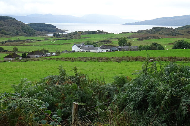
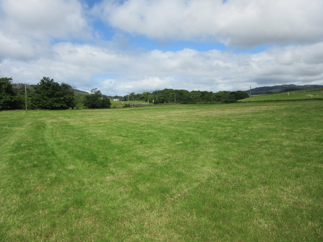
Cnoc a' Chaisteil is a hill located in Argyllshire, Scotland. It is situated near the village of Kilmartin, known for its rich archaeological heritage. The hill stands at an elevation of 110 meters (360 feet) above sea level and offers panoramic views of the surrounding countryside.
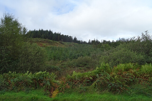
Cnoc a' Chaisteil is characterized by its rugged terrain, with steep slopes and rocky outcrops. The hill is covered in heather and grasses, providing a habitat for a variety of wildlife including birds of prey and small mammals.
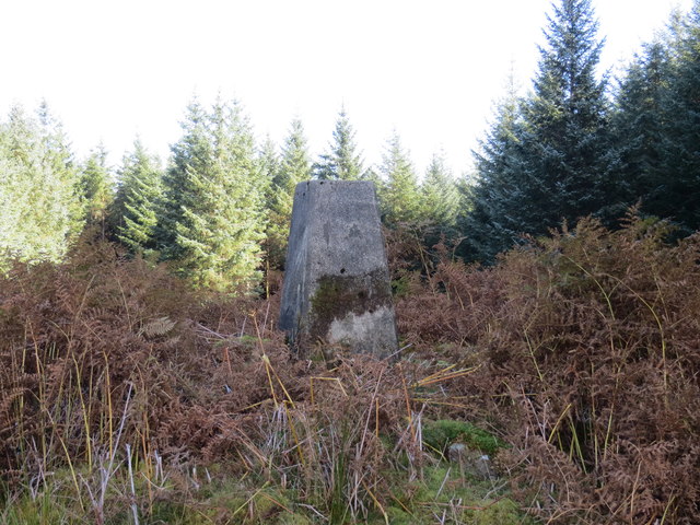
The name Cnoc a' Chaisteil translates to "Castle Hill" in English, reflecting the presence of an ancient fortification on its summit. The remains of a stone wall encircling the hill can still be seen, indicating its historical significance as a defensive structure.
Visitors to Cnoc a' Chaisteil can enjoy a challenging hike to the summit, where they will be rewarded with stunning views of the surrounding landscape. The hill is a popular destination for outdoor enthusiasts and history buffs alike, offering a glimpse into Scotland's rich past and natural beauty.
If you have any feedback on the listing, please let us know in the comments section below.
Cnoc a' Chaisteil Images
Images are sourced within 2km of 55.884007/-5.2939988 or Grid Reference NR9470. Thanks to Geograph Open Source API. All images are credited.


![Ferry at Portavadie Caledonian MacBrayne's 'Isle of Cumbrae', plying between Cowal [Portavadie] and Kintyre [Tarbert]](https://s2.geograph.org.uk/geophotos/05/44/67/5446778_dcfd6956.jpg)


Cnoc a' Chaisteil is located at Grid Ref: NR9470 (Lat: 55.884007, Lng: -5.2939988)
Unitary Authority: Argyll and Bute
Police Authority: Argyll and West Dunbartonshire
What 3 Words
///pushes.dices.expiring. Near Tarbert, Argyll & Bute
Nearby Locations
Related Wikis

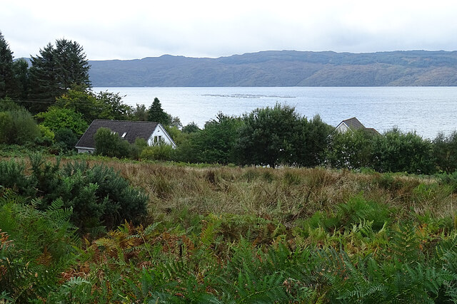
Asgog Loch
Asgog Loch is a natural freshwater loch in Argyll and Bute, Scotland. It is located about 4 kilometres (2.5 mi) southwest of Tighnabruaich, on the Cowal...

Millhouse, Argyll
Millhouse is a village in the parish of Kilfinan. Located on the B8000 inland from Kames in the east and Portavadie in the west, on the Cowal peninsula...

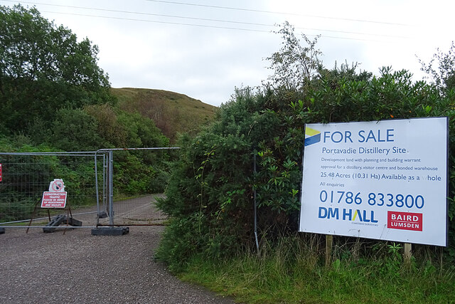
Portavadie
Portavadie (Scottish Gaelic: Port a' Mhadaidh) is a village on the shores of Loch Fyne in Argyll and Bute, Scotland.The Portavadie complex was built in...

Polphail
Polphail was a ghost village in Scotland. It was demolished in 2016. == Location == Polphail was located at Portavadie on the west coast of the Cowal Peninsula...
Nearby Amenities
Located within 500m of 55.884007,-5.2939988Have you been to Cnoc a' Chaisteil?
Leave your review of Cnoc a' Chaisteil below (or comments, questions and feedback).