Awre

Settlement in Gloucestershire Forest of Dean

England

Awre

Shed on the bank of the River Severn at Awre Photographed on a wet and windy November. Much relieved by an excellent pub at the end of the walk.
Shed on the bank of the River Severn at Awre Credit: Jerry Fryman

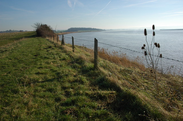
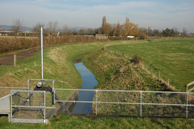
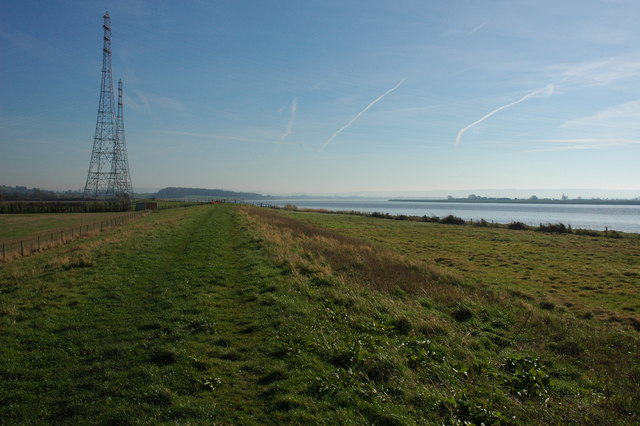
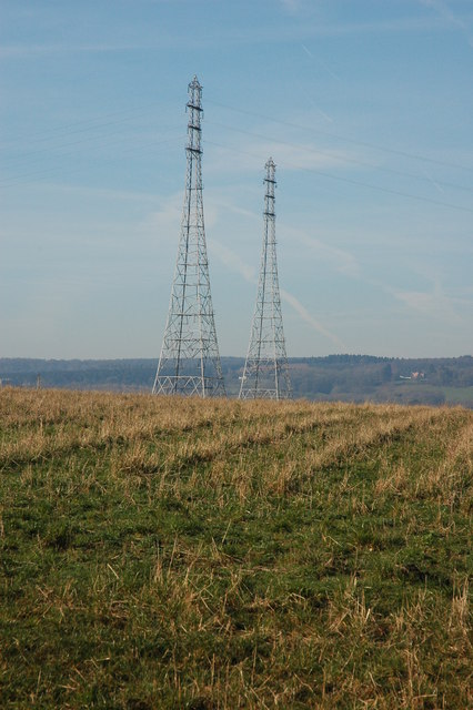
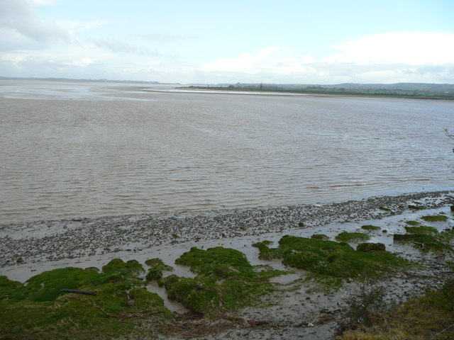
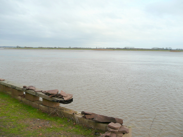
Awre is a small village located in the Forest of Dean district of Gloucestershire, England. Situated on the banks of the River Severn, it is approximately 9 miles southwest of the town of Lydney. The village is predominantly rural, surrounded by picturesque fields and woodland.

Historically, Awre has a rich heritage, dating back to the Roman era. The village was mentioned in the Domesday Book of 1086, and remnants of a Roman settlement have been discovered in the area. In the 19th century, Awre became an important port due to its proximity to the River Severn, and it played a significant role in the timber and coal industries.

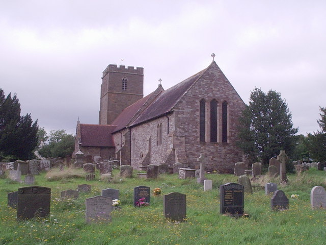
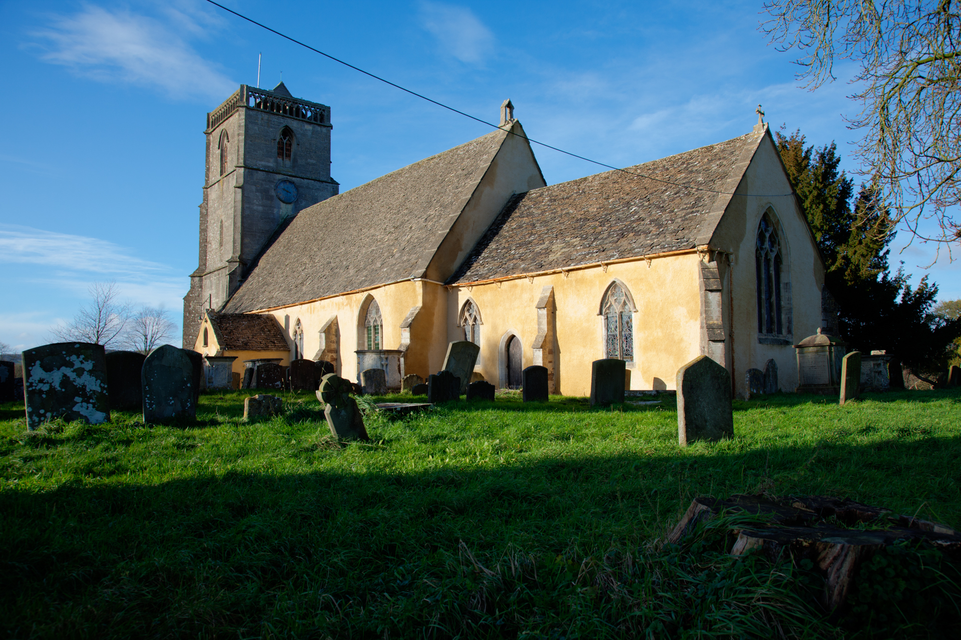
Today, Awre is a peaceful and charming village with a close-knit community. It boasts a number of traditional stone-built houses and cottages, giving it a quaint and timeless feel. The St. Andrew's Church, a Grade I listed building, stands as a prominent feature in the village, showcasing beautiful Norman architecture.

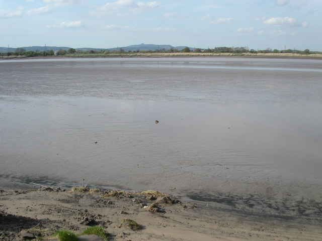
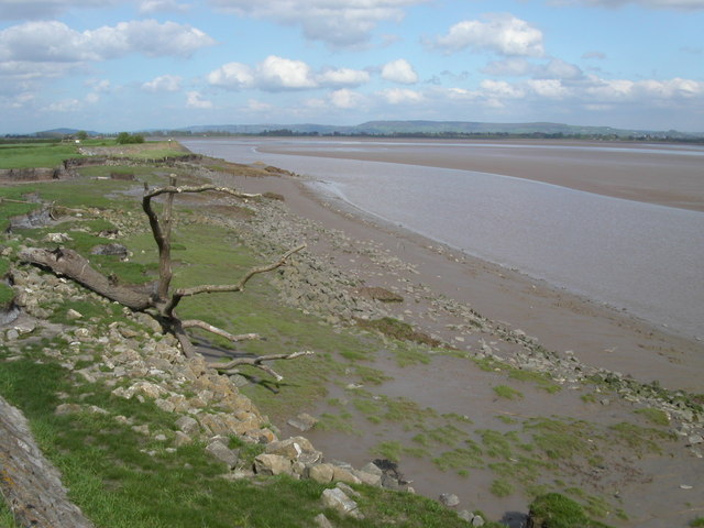
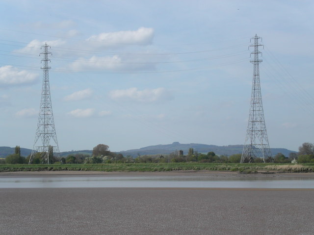
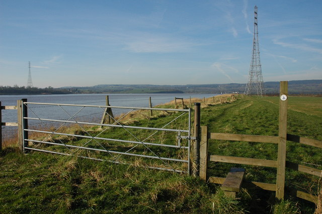
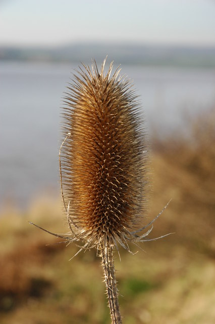
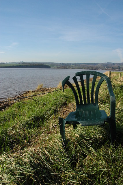
Nature lovers will appreciate Awre's proximity to the River Severn and the surrounding countryside, providing ample opportunities for scenic walks, wildlife spotting, and fishing. The area is also known for its birdwatching, with a variety of species frequenting the riverbanks.

While Awre may be small, it offers a tranquil and idyllic setting for those seeking a peaceful retreat in the heart of Gloucestershire's natural beauty.

If you have any feedback on the listing, please let us know in the comments section below.
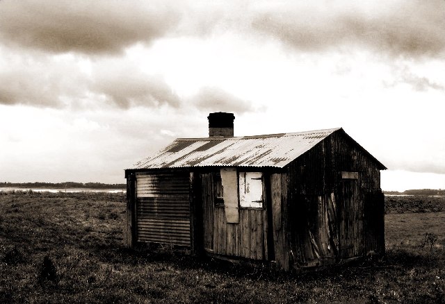
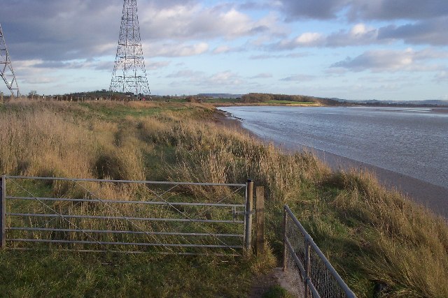
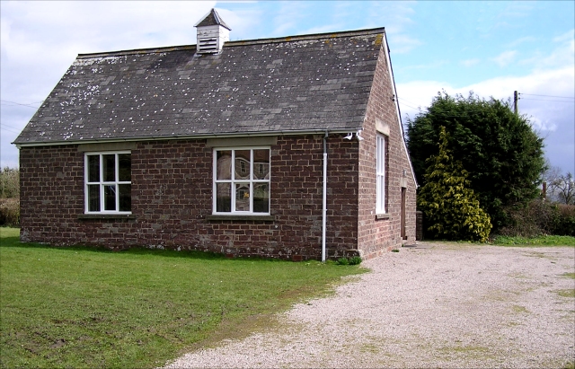
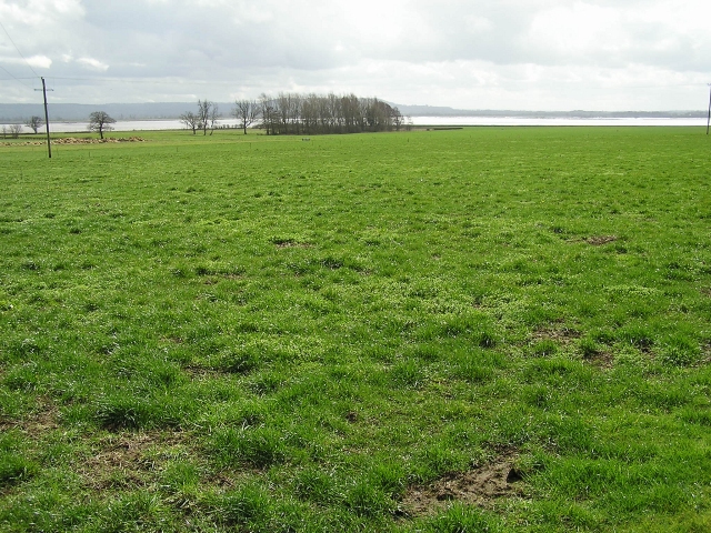
Awre Images

Images are sourced within 2km of 51.772821/-2.429706 or Grid Reference SO7008. Thanks to Geograph Open Source API. All images are credited.

Shed on the bank of the River Severn at Awre Photographed on a wet and windy November. Much relieved by an excellent pub at the end of the walk.
Shed on the bank of the River Severn at Awre
Photographed on a wet and windy November. Much relieved by an excellent pub at the end of the walk.
Pylons near Arlingham The pylons carry electricity across the River Severn. The Severn Way walk continues around the river edge to Hock Cliff, made from Lower Jurassic rocks.
Pylons near Arlingham
The pylons carry electricity across the River Severn. The Severn Way walk continues around the river edge to Hock Cliff, made from Lower Jurassic rocks.
Village Hall, Awre Had a pleasant pair of Gates commemorating the Queen's Silver Jubilee in 1977.
Village Hall, Awre
Had a pleasant pair of Gates commemorating the Queen's Silver Jubilee in 1977.
Farmland, Awre Picture taken from the Severn Way across farmland to the River Severn itself.
Farmland, Awre
Picture taken from the Severn Way across farmland to the River Severn itself.
River Severn The river Severn has nearly completed its journey around the large horseshoe bend by Newnham. From here it starts to open up into the Noose. A large tidal area of mud and sand. The tide is on its way out uncovering the dangerous sand banks. On the horizon is May hill.
River Severn
The river Severn has nearly completed its journey around the large horseshoe bend by Newnham. From here it starts to open up into the Noose. A large tidal area of mud and sand. The tide is on its way out uncovering the dangerous sand banks. On the horizon is May hill.
Bank of the river Severn Close to Awre this quiet section of the river Severn is a good area for wildlife spotting. The tide is on its way out revealing the massive sand banks. Large pieces of driftwood are deposited along the bank by the high tide.
Bank of the river Severn
Close to Awre this quiet section of the river Severn is a good area for wildlife spotting. The tide is on its way out revealing the massive sand banks. Large pieces of driftwood are deposited along the bank by the high tide.
Electric pylons by the river Severn These very high pylons are used to span the river Severn with power grid  cables. In the background centre stands Arlingham church and behind the church on the horizon is May Hill.
Electric pylons by the river Severn
These very high pylons are used to span the river Severn with power grid cables. In the background centre stands Arlingham church and behind the church on the horizon is May Hill.
Stile on the Severn Way, near Arlingham With the tide in the River Severn is very wide where it negotiates the large horseshoe opposite Newnham. Due to the river's width taller pylons are used to carry power cables across the river.
Stile on the Severn Way, near Arlingham
With the tide in the River Severn is very wide where it negotiates the large horseshoe opposite Newnham. Due to the river's width taller pylons are used to carry power cables across the river.
The River Severn near Arlingham View downstream from the bank of the River Severn to the south of Arlingham. The Cotswolds can be seen on the horizon.
The River Severn near Arlingham
View downstream from the bank of the River Severn to the south of Arlingham. The Cotswolds can be seen on the horizon.
Teasel on the banks of the River Severn Teasel on the banks of the River Severn near Arlingham.
Teasel on the banks of the River Severn
Teasel on the banks of the River Severn near Arlingham.
Pylons on the banks of the River Severn Tall electricity pylons carry the power cables over the River Severn to the south of Arlingham.
Pylons on the banks of the River Severn
Tall electricity pylons carry the power cables over the River Severn to the south of Arlingham.
Hope Pill, Arlingham Hope Pill drains into the River Severn to the south of the village of Arlingham.
Hope Pill, Arlingham
Hope Pill drains into the River Severn to the south of the village of Arlingham.
The River Severn at Arlingham Tall pylons carry electricity power cables across the width of the River Severn. The river here negotiates a large horseshoe bend, the view of the river is downstream and the Cotswolds can be seen on the horizon.
The River Severn at Arlingham
Tall pylons carry electricity power cables across the width of the River Severn. The river here negotiates a large horseshoe bend, the view of the river is downstream and the Cotswolds can be seen on the horizon.
Flotsam on the bank of the River Severn A plastic chair is caught on barbed wire on the bank of the River Severn to the south of Arlingham.
Flotsam on the bank of the River Severn
A plastic chair is caught on barbed wire on the bank of the River Severn to the south of Arlingham.
Pylons at Arlingham Tall pylons at Arlingham carry the power cables across the River Severn.
Pylons at Arlingham
Tall pylons at Arlingham carry the power cables across the River Severn.
Awre Point from Hock Cliff View south-west across the gridsquare from the edge of the river cliff near Fretherne.
Awre Point from Hock Cliff
View south-west across the gridsquare from the edge of the river cliff near Fretherne.
Parish Church Awre
Parish Church Awre
A choir of angels in Awre churchyard.
Show me another place!

Awre is located at Grid Ref: SO7008 (Lat: 51.772821, Lng: -2.429706)

Administrative County: Gloucestershire

District: Forest of Dean

Police Authority: Gloucestershire

What 3 Words

///complies.settle.shears. Near Frampton on Severn, Gloucestershire

Nearby Locations

Northington Awre

Related Wikis

Awre

Awre () is a village, civil parish and electoral ward in the Forest of Dean District of Gloucestershire, England, near the River Severn. Both the parish...

Awre for Blakeney railway station

Awre for Blakeney railway station is a closed railway station in Gloucestershire, England, which served both the village of Awre and the town of Blakeney...

Severn tunnel (1810)

The Severn tunnel of 1810 was an unsuccessful plan for a tramroad tunnel beneath the River Severn. The tunnel was to cross the river at Arlingham Passage...

Bledisloe Tump

Bledisloe Tump was a castle in the village of Awre in Gloucestershire, England. == History == The first castle on the site was built in the 11th or early...

Bullo Cross Halt railway station

Bullo Cross Halt railway station is a disused railway station opened by the former Bullo Pill Railway, later known as the (Great Western Railway) Forest...

Arlingham

Arlingham is a village and civil parish in the Stroud District of Gloucestershire, England. The 2021 Census recorded a parish population of 533 (271 males...

Fretherne

Fretherne is a small village and former civil parish, now in the parish of Fretherne with Saul, in the Stroud district, in Gloucestershire, England, situated...

Fretherne Court

Fretherne Court was a handsome residential sporting mansion with picturesque grounds and deer park estate of some 676 acres, situated in the Severn Vale...

Nearby Amenities

Located within 500m of 51.772821,-2.429706
Awre
Is In: Gloucestershire, England, UK
Place: village
Postal Code: GL14 1
Lat/Long: 51.7709935/-2.4269177
Northington
Is In: Awre
Place: hamlet
Lat/Long: 51.7771318/-2.4305139
Bus Stop
War Memorial
Naptan AtcoCode: 1600GL205
Naptan Bearing: W
Naptan CommonName: War Memorial
Naptan NaptanCode: gloampdj
Naptan Street: Blakeney Rd
Naptan Verified: no
Source: naptan_import
Lat/Long: 51.7706675/-2.4257491
Bus Stop
War Memorial
Naptan AtcoCode: 1600GL206
Naptan Bearing: E
Naptan CommonName: War Memorial
Naptan NaptanCode: gloampaw
Naptan Street: Blakeney Rd
Naptan Verified: no
Source: naptan_import
Lat/Long: 51.7706947/-2.4256914
Bus Stop
Honeysuckle Cottage
Naptan AtcoCode: 1600GLF141
Naptan Bearing: E
Naptan CommonName: Honeysuckle Cottage
Naptan NaptanCode: gloamjma
Naptan Street: Bullo Rd
Naptan Verified: no
Source: naptan_import
Lat/Long: 51.7730085/-2.4322497
Bus Stop
Honeysuckle Cottage
Naptan AtcoCode: 1600GLF142
Naptan Bearing: W
Naptan CommonName: Honeysuckle Cottage
Naptan Indicator: Opp
Naptan NaptanCode: gloamjgw
Naptan Street: Bullo Rd
Naptan Verified: no
Source: naptan_import
Lat/Long: 51.7729365/-2.432278
Bus Stop
Village Hall
Naptan AtcoCode: 1600GLF143
Naptan Bearing: SE
Naptan CommonName: Village Hall
Naptan NaptanCode: gloamjtg
Naptan Street: Bullo Rd
Naptan Verified: no
Source: naptan_import
Lat/Long: 51.7728122/-2.4294071
Bus Stop
Village Hall
Naptan AtcoCode: 1600GLF144
Naptan Bearing: NW
Naptan CommonName: Village Hall
Naptan Indicator: Opp
Naptan NaptanCode: gloamjtd
Naptan Street: Bullo Rd
Naptan Verified: no
Source: naptan_import
Lat/Long: 51.7727307/-2.4295657
Community Centre
Awre Village Hall
Community Centre: village_hall
Lat/Long: 51.77291/-2.4291387
Power: tower
Lat/Long: 51.7760052/-2.4312225
Historic: memorial
Memorial: war_memorial
Wikidata: Q110858712
Lat/Long: 51.770623/-2.4253361
Bench
Backrest: yes
Material: wood
Lat/Long: 51.7706374/-2.4253498
Post Box
Collection Plate: CP7
Collection Times: Mo-Fr 17:15; Sa 09:00
Operator: Royal Mail
Post Box Mounting: wall
Post Box Type: lamp
Ref: GL14 186
Royal Cypher: EIIR
Royal Cypher Wikidata: Q33102113
Lat/Long: 51.7703792/-2.4255414
Booth: K6
Covered: booth
Disused Amenity: telephone
Listed Status: Grade II
Man Made: telephone_box
Lat/Long: 51.7729595/-2.4295215
The data included in this document is from www.openstreetmap.org. The data is made available under ODbL.

Have you been to Awre?

Leave your review of Awre below (or comments, questions and feedback).