Lochan na Feòla

Lake, Pool, Pond, Freshwater Marsh in Inverness-shire

Scotland

Lochan na Feòla

Loch nan Ceall shoreline A view across this sea loch towards Arisaig and the hills beyond.
Loch nan Ceall shoreline Credit: Gordon Hatton

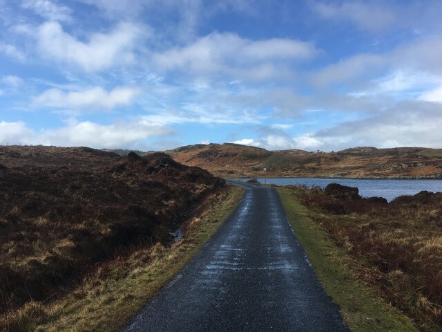
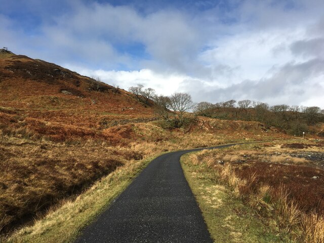
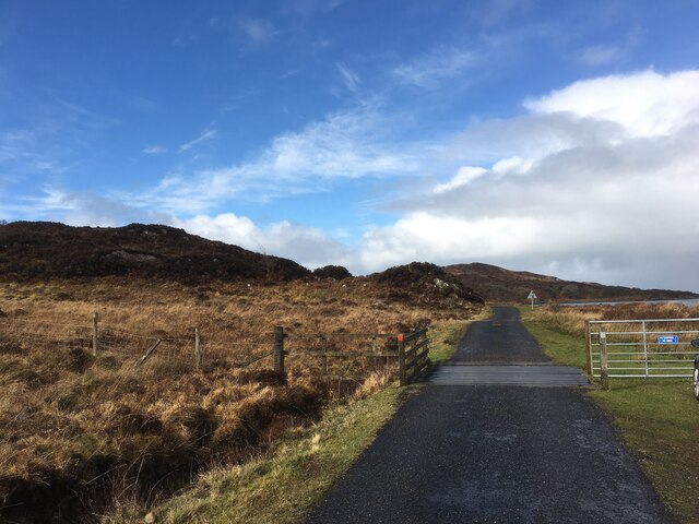
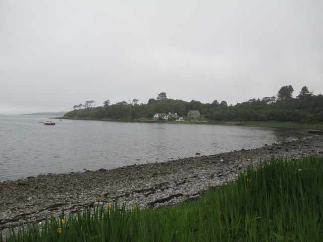
Lochan na Feòla is a small, picturesque freshwater loch located in Inverness-shire, Scotland. It is situated amidst the stunning natural beauty of the Scottish Highlands, surrounded by lush greenery and rolling hills. The loch is relatively shallow, with a maximum depth of around 4 meters, and covers an area of approximately 2 hectares.

Lochan na Feòla is a popular destination for anglers, as it is known to be abundant in fish such as brown trout and perch. The tranquil waters of the loch provide a peaceful setting for fishing, as well as for birdwatching and nature enthusiasts looking to spot a variety of bird species that inhabit the surrounding marshland.

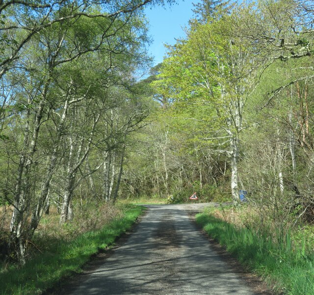
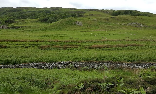
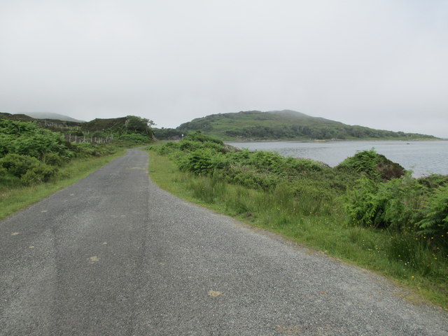
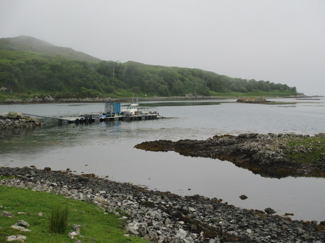
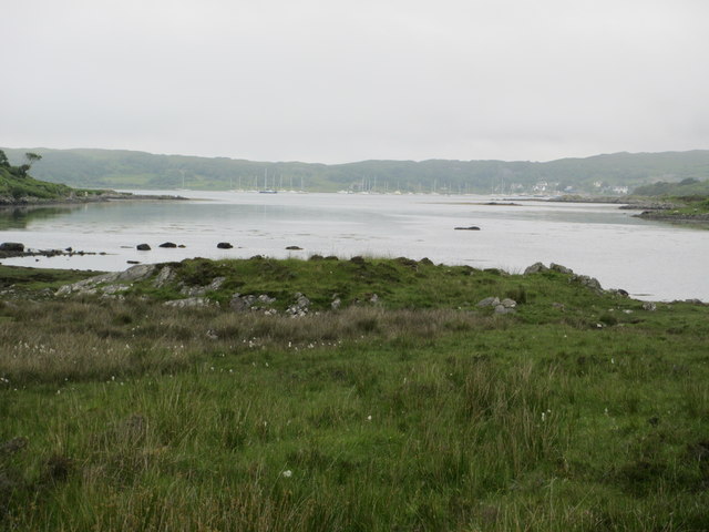
The area around Lochan na Feòla is rich in biodiversity, with a diverse range of plant and animal species thriving in the wetland habitat. Visitors to the loch can enjoy walking trails that wind through the marsh, offering opportunities to observe wildlife and take in the stunning scenery.

Overall, Lochan na Feòla is a hidden gem in the Scottish Highlands, offering a peaceful and natural retreat for those looking to immerse themselves in the beauty of the great outdoors.

If you have any feedback on the listing, please let us know in the comments section below.

Lochan na Feòla Images

Images are sourced within 2km of 56.888043/-5.8528069 or Grid Reference NM6584. Thanks to Geograph Open Source API. All images are credited.
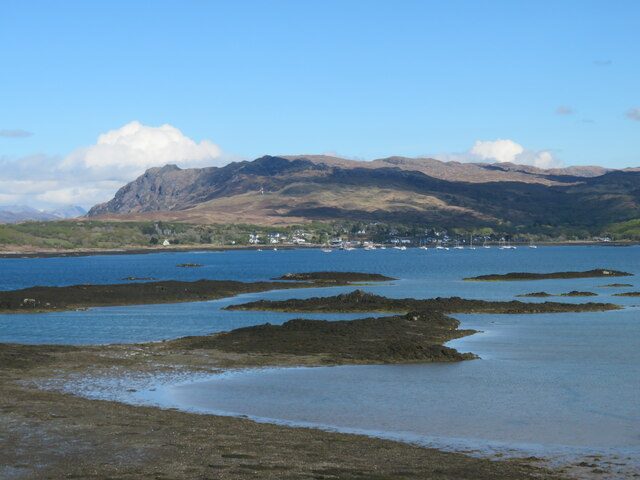
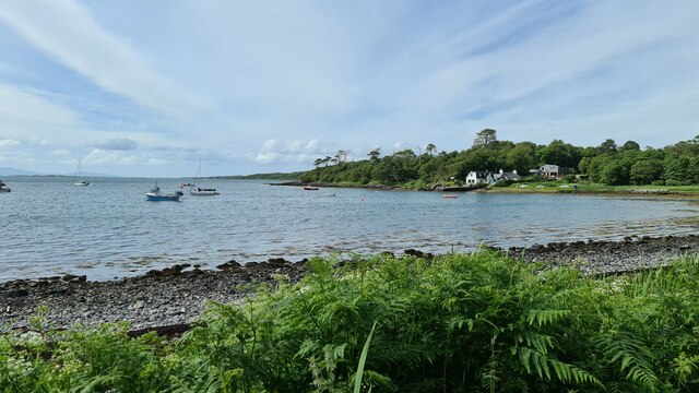
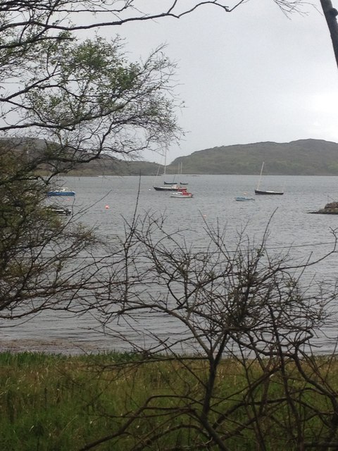
Loch nan Ceall shoreline A view across this sea loch towards Arisaig and the hills beyond.
Loch nan Ceall shoreline
A view across this sea loch towards Arisaig and the hills beyond.
Across Loch nan Ceall Looking west of north across skerries and islets towards the distant mountains on Skye where the main Cuillin range is near the photo centre with Blaven off to the right.
Across Loch nan Ceall
Looking west of north across skerries and islets towards the distant mountains on Skye where the main Cuillin range is near the photo centre with Blaven off to the right.
Lone tree by the shoreline The small inlet here is called Saideil Tòrr a' Bheithe, which according to a well known translation website is something to do with 'birch torrid satellites,' and I'm pretty confident that only the 'birch' part of that translation makes any sense. Houses at Arisaig can just be spotted in the distance.
Lone tree by the shoreline
The small inlet here is called Saideil Tòrr a' Bheithe, which according to a well known translation website is something to do with 'birch torrid satellites,' and I'm pretty confident that only the 'birch' part of that translation makes any sense. Houses at Arisaig can just be spotted in the distance.
The Rhue road towards Arisaig Unless one is prepared to either wander down to the shore or head off to the right into the boggy ground, then the minor road from Rhue towards Arisaig is the obvious subject for this square.
The Rhue road towards Arisaig
Unless one is prepared to either wander down to the shore or head off to the right into the boggy ground, then the minor road from Rhue towards Arisaig is the obvious subject for this square.
Shoreline at Acherault Looking towards Arisaig with the wooded Morroch Point [shaded] in the middle distance.
Shoreline at Acherault
Looking towards Arisaig with the wooded Morroch Point [shaded] in the middle distance.
Road through woodland The road from Rhue to Arisaig, about a mile short of that village.
Road through woodland
The road from Rhue to Arisaig, about a mile short of that village.
Looking towards Morroch Point
Raised beach inland from Camas Ghaoideil Flat farm land is the location of a fossil raised beach inland from Camas Ghaoideil
Raised beach inland from Camas Ghaoideil
Flat farm land is the location of a fossil raised beach inland from Camas Ghaoideil
Minor road towards Rhu
Cattlegrid on the road towards Rhu
Cup Marked Stone A large bowl shaped depression you could eat your porridge from is surrounded by about 60 to 70 smaller cup marks maybe half an inch deep. Answers on a postcard.
Cup Marked Stone
A large bowl shaped depression you could eat your porridge from is surrounded by about 60 to 70 smaller cup marks maybe half an inch deep. Answers on a postcard.
Sunset over Loch nan Ceall
Camas an t-Salainn
Camas an t-Salainn
Minor road by Loch nan Ceall
Jetty on Loch nan Ceall
Arisaig from Saideil Torr a Bheithe
Arisaig Bay
Arisaig Bay
Show me another place!

Lochan na Feòla is located at Grid Ref: NM6584 (Lat: 56.888043, Lng: -5.8528069)

Unitary Authority: Highland

Police Authority: Highlands and Islands

What 3 Words

///passively.blush.tight. Near Arisaig, Highland

Related Wikis

Rhu Peninsula

Rhu Peninsula (Scottish Gaelic: Rudha Arasaig) and originally known as the Rhu Arisaig peninsula is a small, remote and largely deserted peninsula, at...

Arisaig

Arisaig (Scottish Gaelic: Àrasaig) is a village in Lochaber, Inverness-shire. It lies 7 miles (11 kilometres) south of Mallaig on the west coast of the...

Arisaig railway station

Arisaig railway station serves the village of Arisaig on the west coast of the Highland region of Scotland. This station is on the West Highland Line,...

Làrach Mòr

Làrach Mòr is a garden in Lochaber, in the western Highlands of Scotland. It lies 1 kilometre (0.62 mi) east of Arisaig, in the crook of a bend in the...

Have you been to Lochan na Feòla?

Leave your review of Lochan na Feòla below (or comments, questions and feedback).