Lochan Doiragat
Lake, Pool, Pond, Freshwater Marsh in Inverness-shire
Scotland
Lochan Doiragat
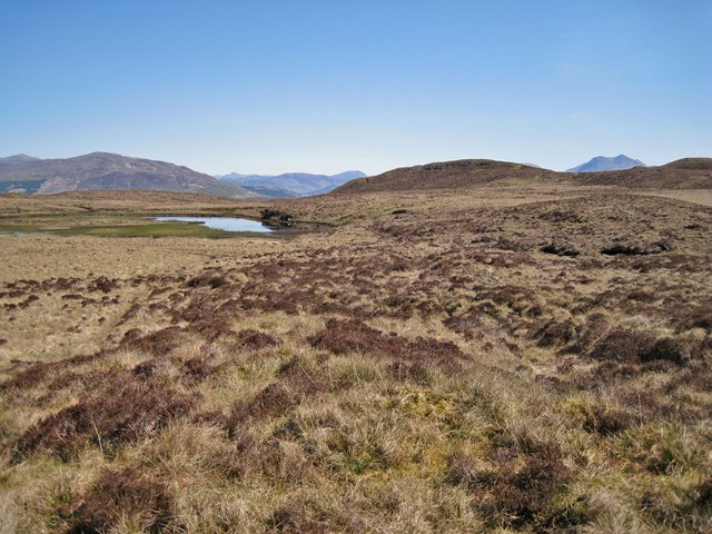
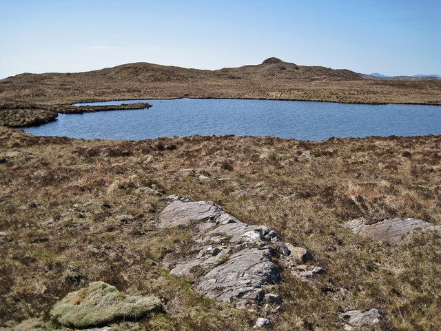
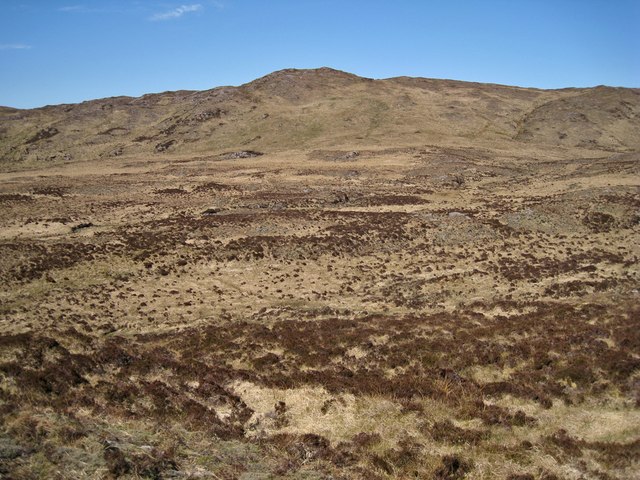
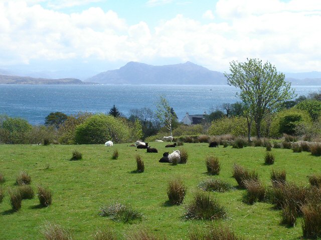
Lochan Doiragat is a small freshwater loch located in Inverness-shire, Scotland. It is situated in a remote and picturesque location, surrounded by rolling hills and lush greenery. The loch is fed by natural springs and rainfall, making its waters clear and pristine.
Lochan Doiragat is a popular spot for fishing enthusiasts, as it is home to a variety of freshwater fish species, including trout and perch. The tranquil setting of the loch also makes it a great place for birdwatching, with a diverse range of bird species frequenting the area.
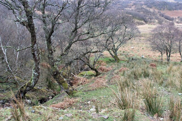
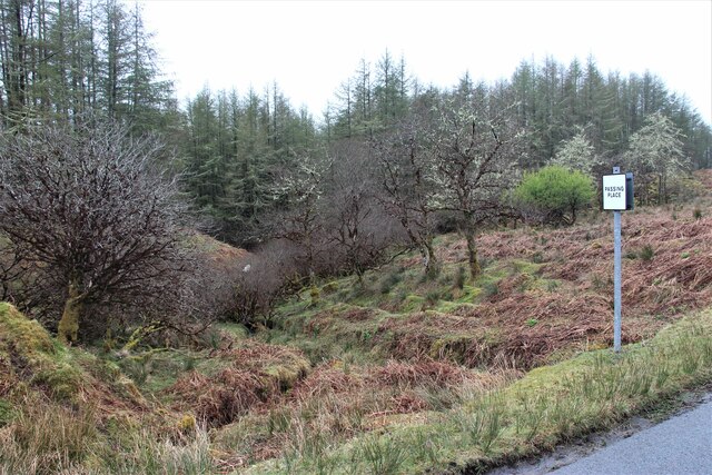
The surrounding area of Lochan Doiragat is rich in wildlife, with deer, otters, and various bird species often spotted in the vicinity. The loch is also surrounded by a freshwater marsh, providing a unique habitat for a wide range of plant and animal species.
Overall, Lochan Doiragat is a peaceful and scenic location, perfect for those looking to immerse themselves in nature and enjoy the beauty of the Scottish countryside.
If you have any feedback on the listing, please let us know in the comments section below.
Lochan Doiragat Images
Images are sourced within 2km of 57.131213/-5.8782996 or Grid Reference NG6511. Thanks to Geograph Open Source API. All images are credited.


Lochan Doiragat is located at Grid Ref: NG6511 (Lat: 57.131213, Lng: -5.8782996)
Unitary Authority: Highland
Police Authority: Highlands and Islands
What 3 Words
///moss.slumped.listening. Near Armadale, Highland
Nearby Locations
Related Wikis
Teangue
Teangue (Scottish Gaelic: An Teanga) is a fishing village on the Sleat peninsula, Isle of Skye, Highlands of Scotland. It is situated in Knock Bay on the...
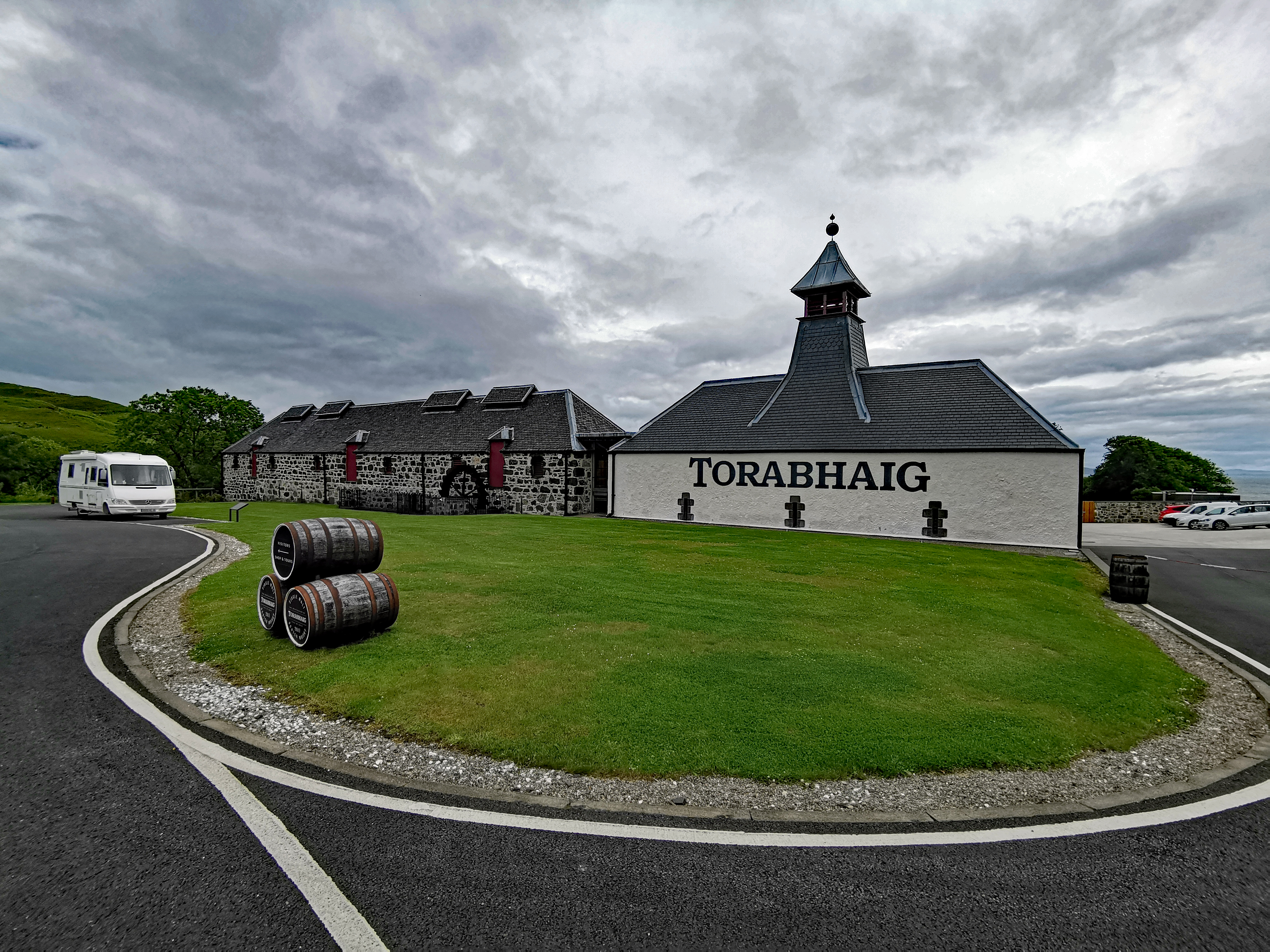
Torabhaig distillery
Torabhaig distillery is a Scotch whisky distillery in Teangue on the Isle of Skye. The distillery is the second ever licensed distillery on Skye and the...
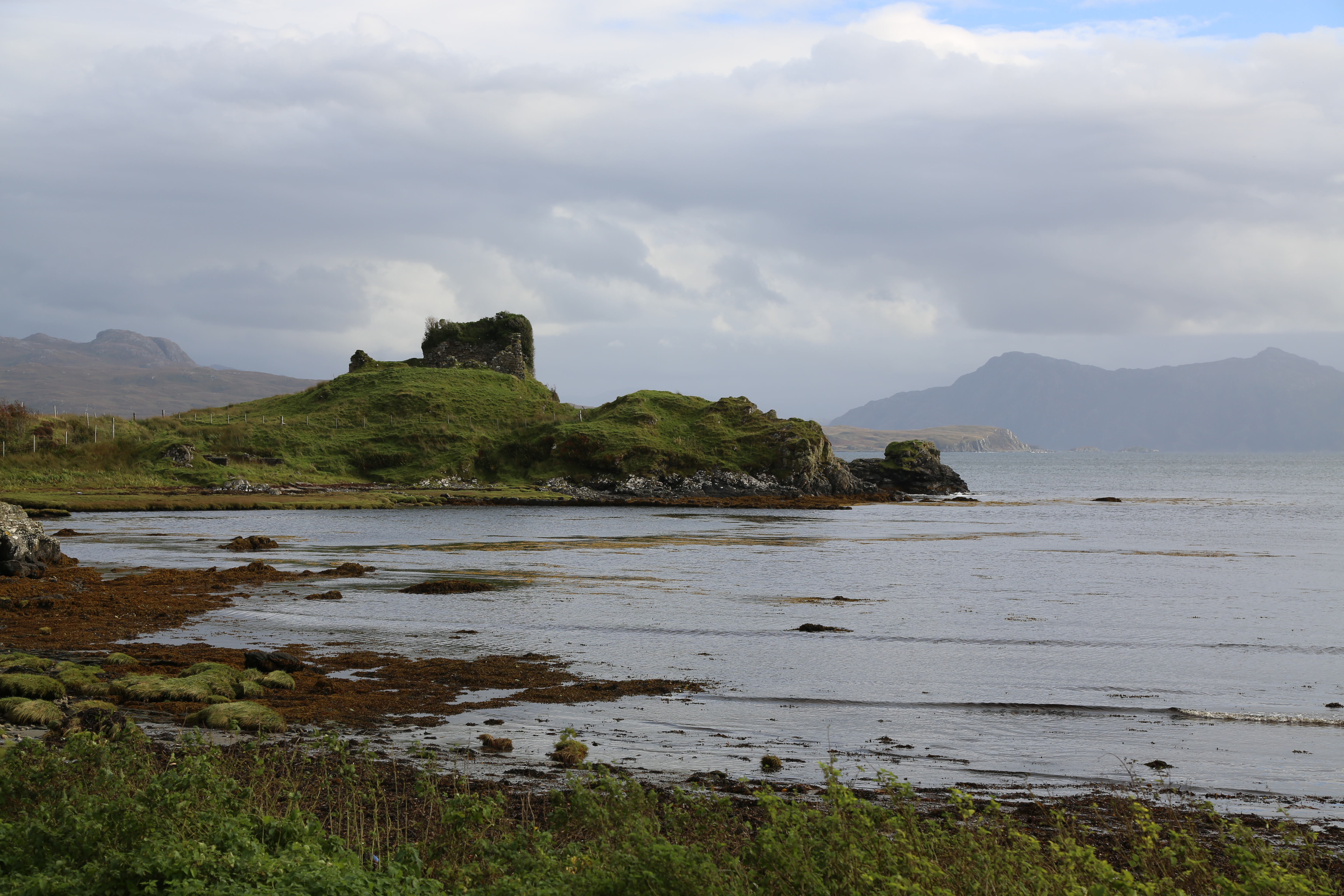
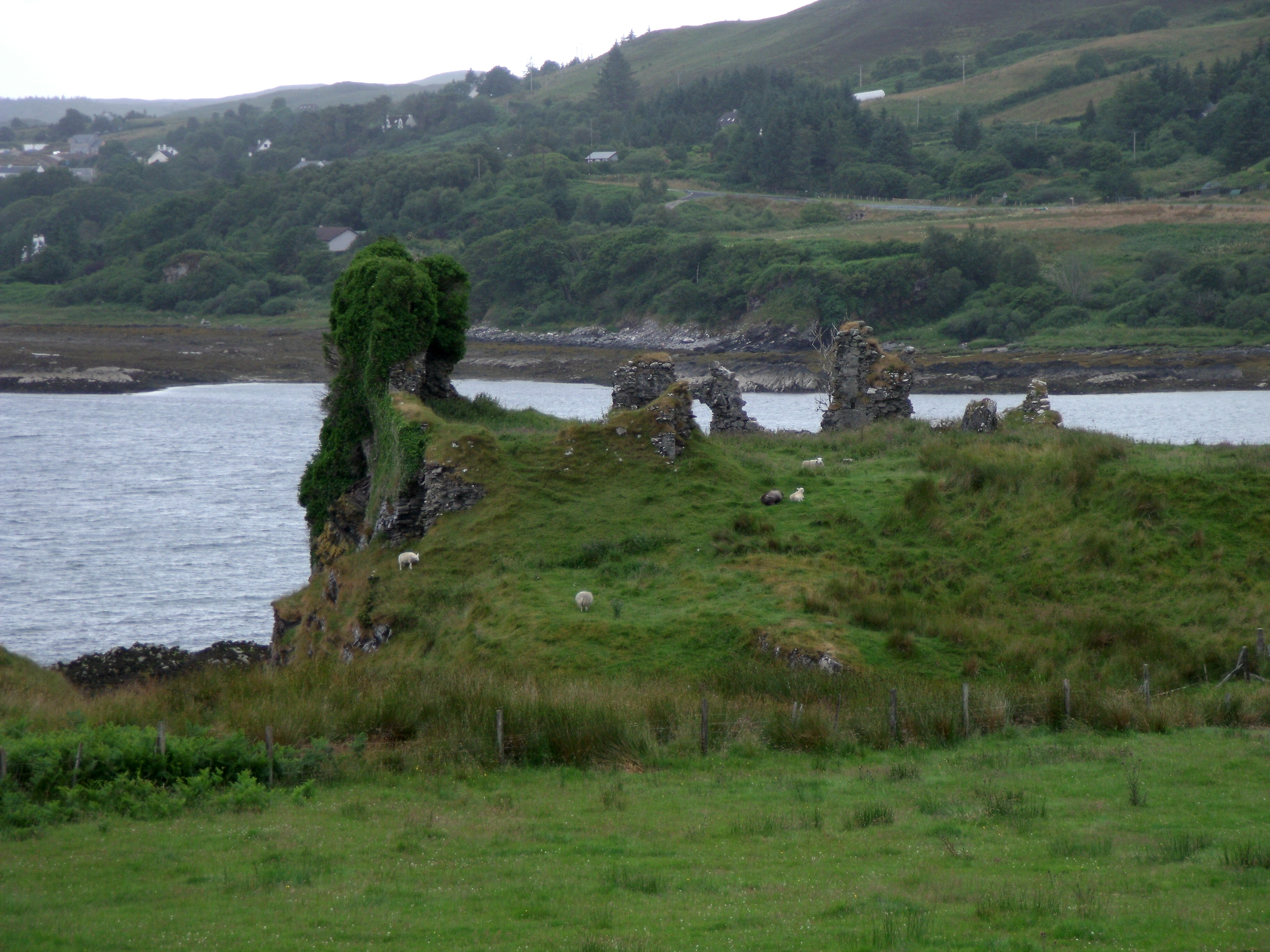
Knock Castle (Isle of Skye)
Knock Castle, also known as Caisteal Chamuis (Castle Camus) is a former stronghold of the MacDonalds. It lies on the east coast of Sleat, approximately...
Ferindonald
Ferindonald or Ferrindonald (Scottish Gaelic: Fearann Dòmhnaill) is a crofting township, located on the east coast of the Sleat peninsula, lying on the...
Nearby Amenities
Located within 500m of 57.131213,-5.8782996Have you been to Lochan Doiragat?
Leave your review of Lochan Doiragat below (or comments, questions and feedback).