Cargenwen Reservoirs
Lake, Pool, Pond, Freshwater Marsh in Cornwall
England
Cargenwen Reservoirs

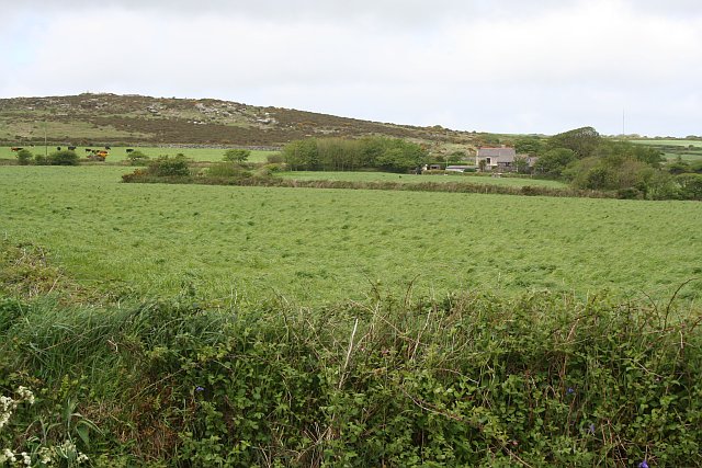
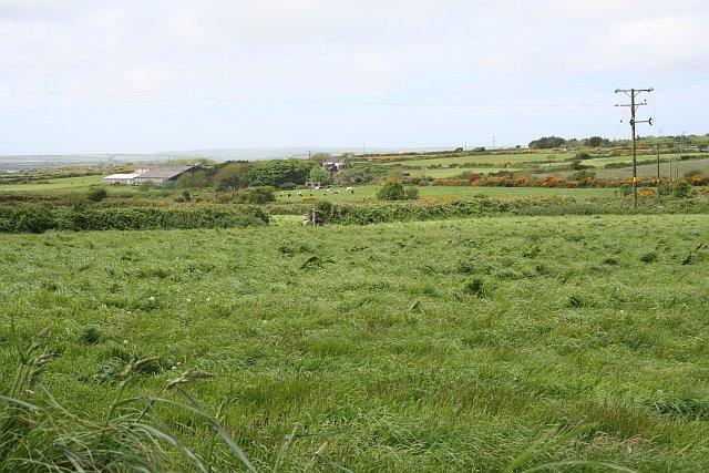
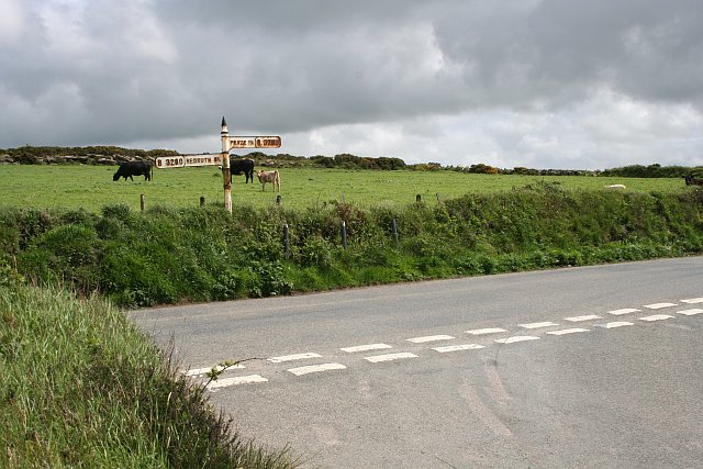
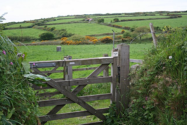
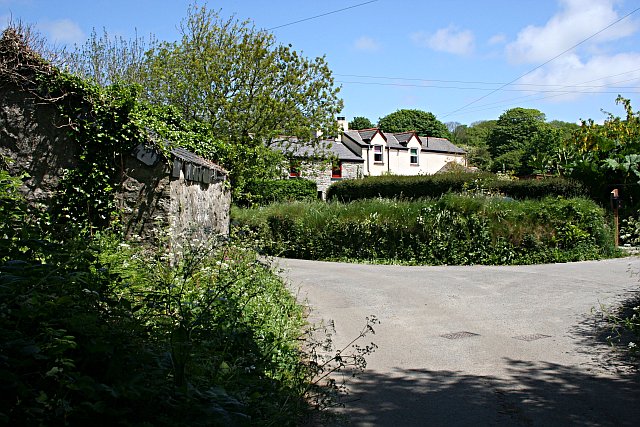
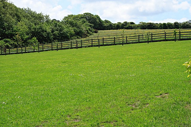
Cargenwen Reservoirs, located in Cornwall, England, consist of a series of interconnected freshwater bodies including lakes, pools, ponds, and a freshwater marsh. These reservoirs are a popular destination for outdoor enthusiasts, offering opportunities for fishing, birdwatching, and hiking.
The reservoirs are surrounded by lush greenery, providing a picturesque backdrop for visitors to enjoy. The water is clear and clean, making it ideal for fishing for a variety of freshwater fish species such as perch, roach, and carp.
The freshwater marsh within the reservoirs is a haven for wildlife, attracting a variety of bird species including herons, ducks, and swans. Birdwatchers can often be seen along the shores of the marsh, observing and taking photographs of the diverse bird population.
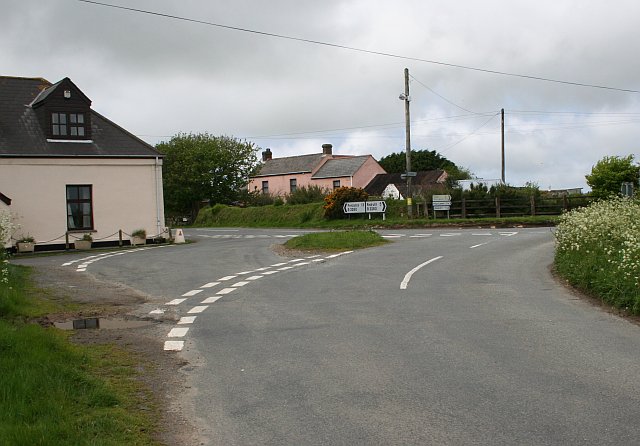
Visitors to Cargenwen Reservoirs can also explore the surrounding area, which is home to a network of walking trails and picnic areas. The peaceful atmosphere and natural beauty of the reservoirs make it a perfect spot for a relaxing day out in nature.
If you have any feedback on the listing, please let us know in the comments section below.
Cargenwen Reservoirs Images
Images are sourced within 2km of 50.1704/-5.2850852 or Grid Reference SW6535. Thanks to Geograph Open Source API. All images are credited.


Cargenwen Reservoirs is located at Grid Ref: SW6535 (Lat: 50.1704, Lng: -5.2850852)
Unitary Authority: Cornwall
Police Authority: Devon and Cornwall
What 3 Words
///maternal.porridge.paper. Near Four Lanes, Cornwall
Nearby Locations
Related Wikis
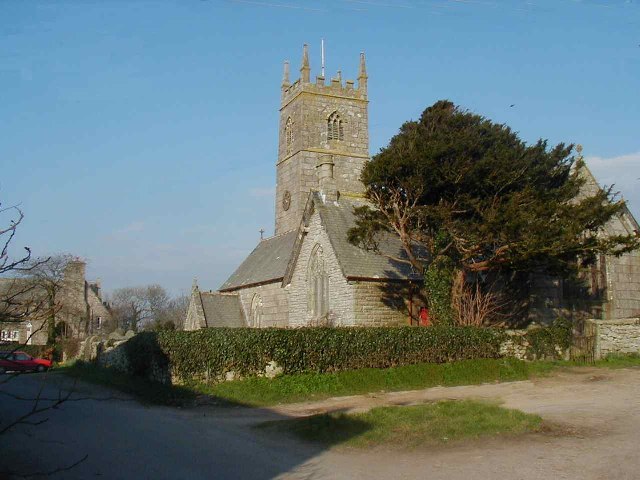
Crowan
Crowan (Cornish: Egloskrewen (village) or Pluw Grewen (parish)) is a village and civil parish in Cornwall, England, United Kingdom. It is about three-and...

Bolitho, Cornwall
Bolitho ( bə-LY-thoh, Cornish: Bosleythow) is a village in west Cornwall, and a Cornish surname. The Bolitho Family own large estates in west Cornwall...

Carwynnen
Carwynnen is a hamlet in Cornwall, England. It is located between the villages of Troon and Praze-an-Beeble, and is situated 2 miles (3.2 km) south of...
Praze railway station
Praze railway station was built to the south of the village of Praze-An-Beeble, Cornwall, England, at an elevation of 360 feet (110 m). It was an intermediate...
Nearby Amenities
Located within 500m of 50.1704,-5.2850852Have you been to Cargenwen Reservoirs?
Leave your review of Cargenwen Reservoirs below (or comments, questions and feedback).