Glanadda

Settlement in Caernarfonshire

Wales

Glanadda

A typical road bridge over the A55, near Bangor An Eastbound view, showing the snow-covered mountains of Snowdonia ahead. This section of the A55 makes up the Bangor Bypass and opened in 1983.
A typical road bridge over the A55, near Bangor Credit: Oliver Mills

Glanadda is a small village located in the historic county of Caernarfonshire, Wales. Situated on the eastern outskirts of the town of Caernarfon, it is part of the larger community of Llanbeblig. Glanadda is nestled between the Menai Strait to the south and the Snowdonia National Park to the north, offering residents and visitors stunning natural landscapes and ample opportunities for outdoor activities.

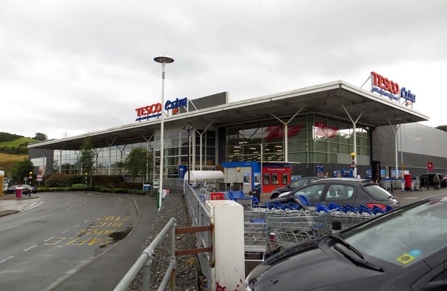
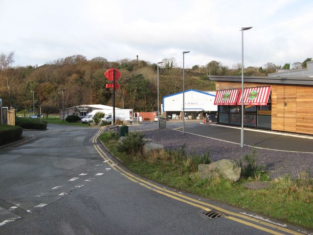
The village is primarily residential, with a mix of traditional stone cottages and more modern housing developments. It has a close-knit community, with a population of around 1,500 people. Glanadda benefits from its proximity to Caernarfon, which provides a range of amenities including shops, schools, and healthcare facilities.

Despite its small size, Glanadda has a rich history. The area was once known for its slate quarries, which played a significant role in the local economy during the 19th and early 20th centuries. Today, remnants of these quarries can still be seen in the surrounding hillsides, adding to the village's charm and character.

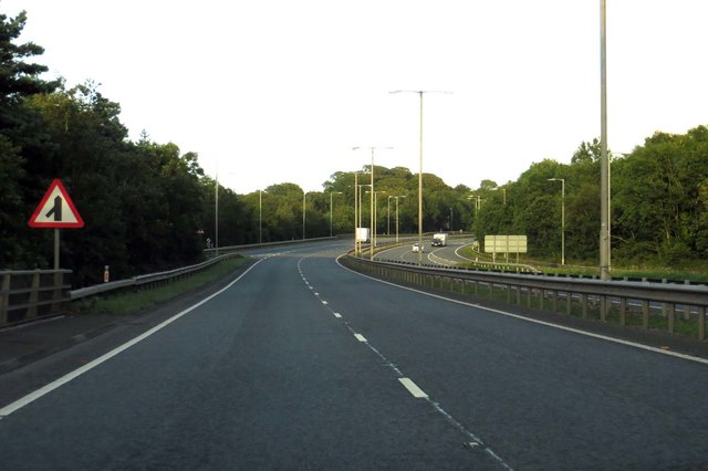
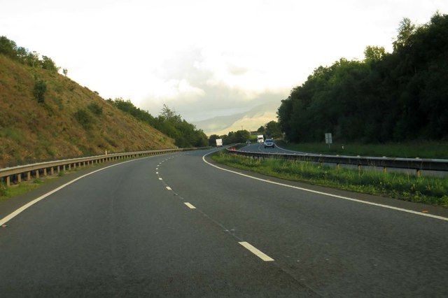
For those looking to explore the area, Glanadda serves as an excellent base. The nearby Snowdonia National Park offers a plethora of outdoor activities, including hiking, mountain biking, and water sports. Additionally, the village is well-connected by road, making it easy to reach other attractions in the region, such as Caernarfon Castle and the picturesque village of Beddgelert.

Overall, Glanadda offers a peaceful and picturesque setting for residents and visitors alike, with its natural beauty and proximity to amenities making it an attractive place to live or visit in Caernarfonshire.

If you have any feedback on the listing, please let us know in the comments section below.
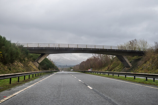
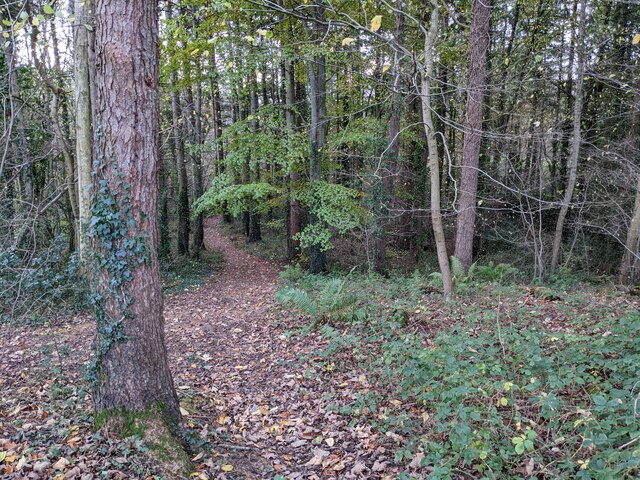
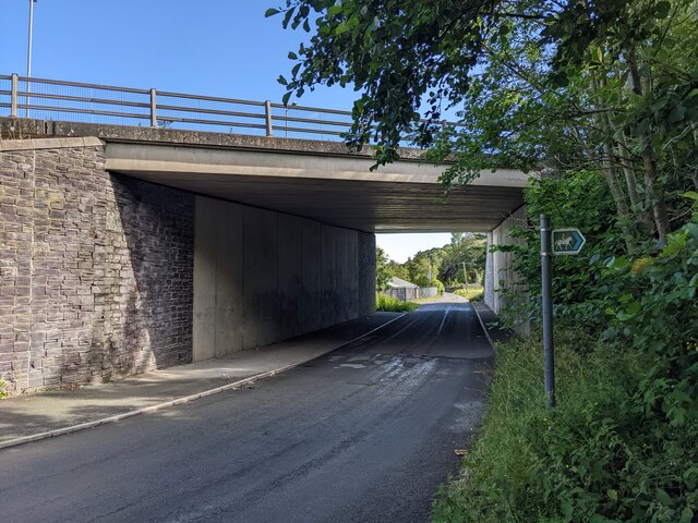
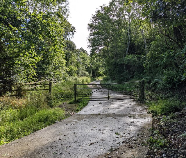
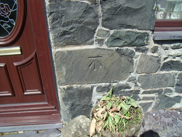
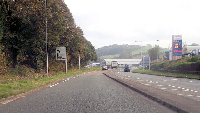
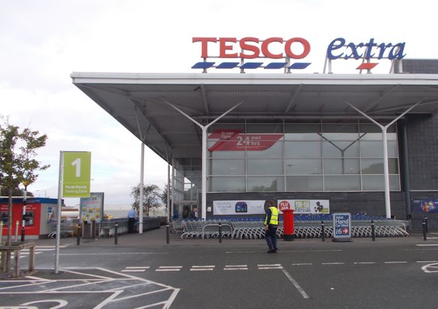
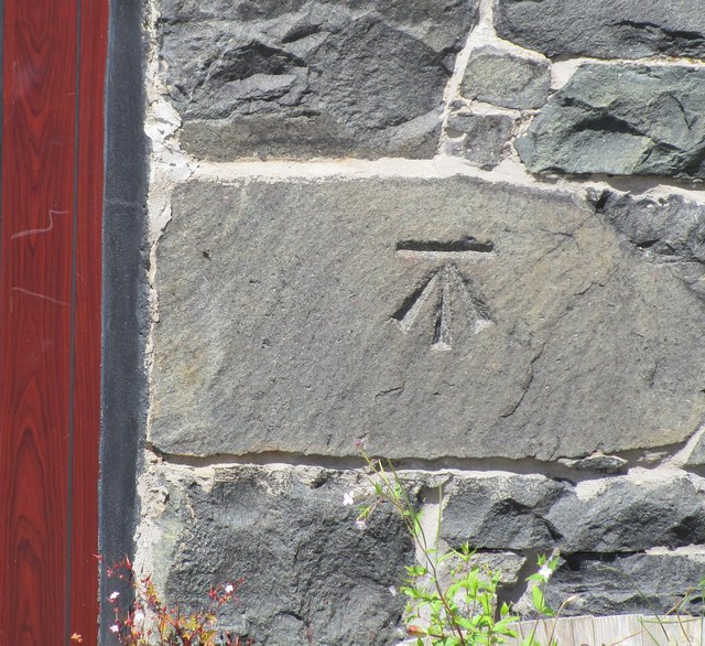
Glanadda Images

Images are sourced within 2km of 53.21845/-4.138437 or Grid Reference SH5771. Thanks to Geograph Open Source API. All images are credited.

A typical road bridge over the A55, near Bangor An Eastbound view, showing the snow-covered mountains of Snowdonia ahead. This section of the A55 makes up the Bangor Bypass and opened in 1983.
A typical road bridge over the A55, near Bangor
An Eastbound view, showing the snow-covered mountains of Snowdonia ahead. This section of the A55 makes up the Bangor Bypass and opened in 1983.
Eddie Stobart truck, Bangor
Eddie Stobart tanker, Bangor kathleen Amy H5953 PF19 WDK
Eddie Stobart tanker, Bangor
kathleen Amy H5953 PF19 WDK
The last of the leaves in the woodland Next to Lôn Las Ogwen.
The last of the leaves in the woodland
Next to Lôn Las Ogwen.
An underpass below the A55
A bridleway next to the A55 The A55 major highway is hidden by the trees to the left.
A bridleway next to the A55
The A55 major highway is hidden by the trees to the left.
Benchmark at  Four Alls, Pant-caerhun This benchmark is located on SE face of Four Alls in Pant-caerhun & it is shown in the current Ordnance Survey database at a height of 85.7890m above the Newlyn datum.
Benchmark at Four Alls, Pant-caerhun
This benchmark is located on SE face of Four Alls in Pant-caerhun & it is shown in the current Ordnance Survey database at a height of 85.7890m above the Newlyn datum.
A4087 just south of Tesco roundabout Tesco Extra Bangor on right
A4087 just south of Tesco roundabout
Tesco Extra Bangor on right
Tesco Extra store Bangor
Ordnance Survey Cut Mark This OS cut mark can be found on the front of Four Alls Pant Caerhun. It marks a point 85.789m above mean sea level.
Ordnance Survey Cut Mark
This OS cut mark can be found on the front of Four Alls Pant Caerhun. It marks a point 85.789m above mean sea level.
Tesco Extra in Bangor
The A55 heading east
The A55 runs under a bridge near Caerhun
Commercial edge Retail and catering on the edge of Bangor, adjacent to the supermarket development. Previously, this was a little-known back-road into the hilly hinterland of the town.
Commercial edge
Retail and catering on the edge of Bangor, adjacent to the supermarket development. Previously, this was a little-known back-road into the hilly hinterland of the town.
Bridge over the North Wales Expressway near to Glasinfryn The A55, also known as the North Wales Expressway (Gwibffordd Gogledd Cymru), is the major road in North Wales running for 88 miles between Chester and Holyhead via Conwy and Bangor. 

The A55 is a very high quality road, much of it rebuilt since the 1970s in response to traffic problems in Colwyn Bay, Colwyn and Llandudno caused by traffic having to pass through town centres on totally unsuitable streets, (especially in Conwy where lorries often scraped their paintwork as they passed through 12th century arches in the town's walls), leading to the construction of an east-west expressway bypassing the urban centres. It is a dual carriageway primary route for its entire length with the exception of the point where it crosses the Britannia Bridge over the Menai Strait. All of its junctions are grade separated except for two roundabouts; one east of Penmaenmawr and one in Llanfairfechan. The road originally ran from Chester to Bangor but was extended parallel to the A5 across Anglesey right into Holyhead Docks in 2001.

<span class="nowrap"><a title="http://www.sabre-roads.org.uk/wiki/index.php?title=A55" rel="nofollow ugc noopener" href="http://www.sabre-roads.org.uk/wiki/index.php?title=A55">Link</a><img style="margin-left:2px;" alt="External link" title="External link - shift click to open in new window" src="https://s1.geograph.org.uk/img/external.png" width="10" height="10"/></span>  SABRE
Bridge over the North Wales Expressway near to Glasinfryn
The A55, also known as the North Wales Expressway (Gwibffordd Gogledd Cymru), is the major road in North Wales running for 88 miles between Chester and Holyhead via Conwy and Bangor. The A55 is a very high quality road, much of it rebuilt since the 1970s in response to traffic problems in Colwyn Bay, Colwyn and Llandudno caused by traffic having to pass through town centres on totally unsuitable streets, (especially in Conwy where lorries often scraped their paintwork as they passed through 12th century arches in the town's walls), leading to the construction of an east-west expressway bypassing the urban centres. It is a dual carriageway primary route for its entire length with the exception of the point where it crosses the Britannia Bridge over the Menai Strait. All of its junctions are grade separated except for two roundabouts; one east of Penmaenmawr and one in Llanfairfechan. The road originally ran from Chester to Bangor but was extended parallel to the A5 across Anglesey right into Holyhead Docks in 2001. LinkExternal link SABRE
Bridge over the A55 near Glasinfryn The A55, also known as the North Wales Expressway (Gwibffordd Gogledd Cymru), is the major road in North Wales running for 88 miles between Chester and Holyhead via Conwy and Bangor. 

The A55 is a very high quality road, much of it rebuilt since the 1970s in response to traffic problems in Colwyn Bay, Colwyn and Llandudno caused by traffic having to pass through town centres on totally unsuitable streets, (especially in Conwy where lorries often scraped their paintwork as they passed through 12th century arches in the town's walls), leading to the construction of an east-west expressway bypassing the urban centres. It is a dual carriageway primary route for its entire length with the exception of the point where it crosses the Britannia Bridge over the Menai Strait. All of its junctions are grade separated except for two roundabouts; one east of Penmaenmawr and one in Llanfairfechan. The road originally ran from Chester to Bangor but was extended parallel to the A5 across Anglesey right into Holyhead Docks in 2001.

<span class="nowrap"><a title="http://www.sabre-roads.org.uk/wiki/index.php?title=A55" rel="nofollow ugc noopener" href="http://www.sabre-roads.org.uk/wiki/index.php?title=A55">Link</a><img style="margin-left:2px;" alt="External link" title="External link - shift click to open in new window" src="https://s1.geograph.org.uk/img/external.png" width="10" height="10"/></span>  SABRE
Bridge over the A55 near Glasinfryn
The A55, also known as the North Wales Expressway (Gwibffordd Gogledd Cymru), is the major road in North Wales running for 88 miles between Chester and Holyhead via Conwy and Bangor. The A55 is a very high quality road, much of it rebuilt since the 1970s in response to traffic problems in Colwyn Bay, Colwyn and Llandudno caused by traffic having to pass through town centres on totally unsuitable streets, (especially in Conwy where lorries often scraped their paintwork as they passed through 12th century arches in the town's walls), leading to the construction of an east-west expressway bypassing the urban centres. It is a dual carriageway primary route for its entire length with the exception of the point where it crosses the Britannia Bridge over the Menai Strait. All of its junctions are grade separated except for two roundabouts; one east of Penmaenmawr and one in Llanfairfechan. The road originally ran from Chester to Bangor but was extended parallel to the A5 across Anglesey right into Holyhead Docks in 2001. LinkExternal link SABRE
Westbound A55 near Glasinfryn The A55, also known as the North Wales Expressway (Gwibffordd Gogledd Cymru), is the major road in North Wales running for 88 miles between Chester and Holyhead via Conwy and Bangor. 

The A55 is a very high quality road, much of it rebuilt since the 1970s in response to traffic problems in Colwyn Bay, Colwyn and Llandudno caused by traffic having to pass through town centres on totally unsuitable streets, (especially in Conwy where lorries often scraped their paintwork as they passed through 12th century arches in the town's walls), leading to the construction of an east-west expressway bypassing the urban centres. It is a dual carriageway primary route for its entire length with the exception of the point where it crosses the Britannia Bridge over the Menai Strait. All of its junctions are grade separated except for two roundabouts; one east of Penmaenmawr and one in Llanfairfechan. The road originally ran from Chester to Bangor but was extended parallel to the A5 across Anglesey right into Holyhead Docks in 2001.

<span class="nowrap"><a title="http://www.sabre-roads.org.uk/wiki/index.php?title=A55" rel="nofollow ugc noopener" href="http://www.sabre-roads.org.uk/wiki/index.php?title=A55">Link</a><img style="margin-left:2px;" alt="External link" title="External link - shift click to open in new window" src="https://s1.geograph.org.uk/img/external.png" width="10" height="10"/></span>  SABRE
Westbound A55 near Glasinfryn
The A55, also known as the North Wales Expressway (Gwibffordd Gogledd Cymru), is the major road in North Wales running for 88 miles between Chester and Holyhead via Conwy and Bangor. The A55 is a very high quality road, much of it rebuilt since the 1970s in response to traffic problems in Colwyn Bay, Colwyn and Llandudno caused by traffic having to pass through town centres on totally unsuitable streets, (especially in Conwy where lorries often scraped their paintwork as they passed through 12th century arches in the town's walls), leading to the construction of an east-west expressway bypassing the urban centres. It is a dual carriageway primary route for its entire length with the exception of the point where it crosses the Britannia Bridge over the Menai Strait. All of its junctions are grade separated except for two roundabouts; one east of Penmaenmawr and one in Llanfairfechan. The road originally ran from Chester to Bangor but was extended parallel to the A5 across Anglesey right into Holyhead Docks in 2001. LinkExternal link SABRE
Show me another place!

Glanadda is located at Grid Ref: SH5771 (Lat: 53.21845, Lng: -4.138437)

Unitary Authority: Gwynedd

Police Authority: North Wales

Also known as: Glan Adda, Glan-Adda

What 3 Words

///salary.meanings.pricing. Near Bangor, Gwynedd

Related Wikis

Hendre (Bangor electoral ward)

Hendre is one of eight electoral wards in the city of Bangor, Gwynedd, Wales. The ward covers part of the city south of the city centre, including West...

Bangor railway station (Wales)

Bangor railway station serves the city of Bangor, Gwynedd; it is operated by Transport for Wales. The station, which is 24+3⁄4 miles (40 km) east of Holyhead...

Ysgol Tryfan

Ysgol Tryfan is a bilingual (Welsh - English) comprehensive school for pupils aged 11–18, situated in Bangor, Gwynedd. 471 pupils were enrolled at the...

Grŵp Llandrillo Menai

Grŵp Llandrillo Menai (GLlM) is an umbrella organisation overseeing the operation of three member colleges in North Wales: Coleg Llandrillo, Coleg Menai...

Related Videos

Walking The STUNNING Llŷn Peninsula - Wales Coast Path 14/50

Day 14/50 Walking the @walescoastpath -Llwybr Arfordir Cymru 󠁧󠁢󠁷󠁬󠁳󠁿 Supported by Cicerone @ciceronePress ...

Walking the North Welsh Coast - Part 7: Llanfairfechan to Bangor (Hiking & History #27)

Join me on the final part of my travel vlog series as I hike the entire North Welsh Coast. This is the final day - Llanfairfechan to ...

Exploring the Enchanting Treborth Botanic Garden: A Nature Walking Tour in Wales. Walking Tour.

Experience the serene beauty of Treborth Botanic Garden in Wales as we take you on a virtual stroll through its enchanting ...

Walking The Wales Coast Path 9: Bangor to Beaumaris

The ninth part of my walk along the coastline of Wales. We continue from near the entrance to Bangor Pier and make our way ...

Nearby Amenities

Located within 500m of 53.21845,-4.138437
Mini Roundabout
Direction: clockwise
Lat/Long: 53.2183735/-4.1399145
Mini Roundabout
Direction: clockwise
Lat/Long: 53.2210001/-4.1363535
Turning Circle
Lat/Long: 53.2176318/-4.1448244
Post Box
Post Box Design: type_k
Post Box Type: pillar
Royal Cypher: EIIR
Royal Cypher Wikidata: Q33102113
Lat/Long: 53.2212954/-4.1385151
Barrier: kissing_gate
Lat/Long: 53.2175801/-4.1323406
Shop: laundry
Lat/Long: 53.2184279/-4.1397639
Pub
The Union
Wikidata: Q80857585
Lat/Long: 53.2182729/-4.1397619
Bus Stop
Bus: yes
Public Transport: platform
Shelter: yes
Lat/Long: 53.2191085/-4.1394061
Bus Stop
Bus: yes
Public Transport: platform
Lat/Long: 53.2191915/-4.1390981
Bus Stop
Bus: yes
Public Transport: platform
Lat/Long: 53.2214424/-4.1357172
Bus Stop
Ffordd Penrhos
Bench: no
Bin: no
Bus: yes
Public Transport: platform
Shelter: no
Tactile Paving: no
Lat/Long: 53.2183308/-4.145477
Bus Stop
Bench: no
Bin: no
Bus: yes
Public Transport: platform
Shelter: yes
Tactile Paving: no
Lat/Long: 53.219032/-4.1438981
Post Box
Collection Times: Mo-Fr 09:00; Sa 07:00
Operator: Royal Mail
Operator Wikidata: Q638098
Post Box Type: lamp
Ref: LL57 279D
Royal Cypher: EIIR
Royal Cypher Wikidata: Q33102113
Lat/Long: 53.2149464/-4.1428501
Turning Circle
Lat/Long: 53.2203115/-4.1380926
Post Box
Collection Times: Mo-Fr 17:30; Sa 11:15
Operator: Royal Mail
Operator Wikidata: Q638098
Post Box Type: pillar
Ref: LL57 5
Royal Cypher: VR
Royal Cypher Wikidata: Q33102356
Lat/Long: 53.2177478/-4.1401801
Glanadda
Is In: Bangor
Is In Country: United Kingdom
Is In County: Gwynedd
Place: suburb
Lat/Long: 53.2179496/-4.1392206
Noexit: yes
Lat/Long: 53.2179186/-4.1393904
Noexit: yes
Lat/Long: 53.2179466/-4.1393626
Bus Stop
Bus: yes
Naptan AtcoCode: 5400AWF80910
Naptan NaptanCode: gwndwmg
Public Transport: platform
Lat/Long: 53.2160423/-4.1414491
Bus Stop
Bus: yes
Naptan AtcoCode: 5400WDB48359
Naptan NaptanCode: gwntwpm
Public Transport: platform
Lat/Long: 53.2160953/-4.141602
Barrier: entrance
Lat/Long: 53.219354/-4.1413797
Power: tower
Lat/Long: 53.2156171/-4.1327411
Johnson
Shop: newsagent
Lat/Long: 53.2212991/-4.1360237
Crossing
Crossing: traffic_signals
Crossing Ref: puffin
Lat/Long: 53.2212758/-4.135868
Elevator
Lat/Long: 53.2226426/-4.135969
Railway: buffer_stop
Lat/Long: 53.2217937/-4.1371534
Railway: buffer_stop
Lat/Long: 53.2226044/-4.1362564
Vending Machine
Check Date: 2022-07-15
Indoor: yes
Vending: public_transport_tickets
Lat/Long: 53.2225324/-4.1357341
Railway: buffer_stop
Lat/Long: 53.2225419/-4.1360104
Railway: buffer_stop
Lat/Long: 53.2226192/-4.1371025
Railway: buffer_stop
Lat/Long: 53.2225674/-4.1359884
Matalan
Brand: Matalan
Brand Wikidata: Q12061509
Brand Wikipedia: en:Matalan
Shop: clothes
Lat/Long: 53.2169913/-4.1428513
Barrier: bollard
Lat/Long: 53.2164151/-4.1423319
Crossing
Crossing: traffic_signals
Lat/Long: 53.2179796/-4.1401112
Bench
Lat/Long: 53.2156723/-4.1421122
Traffic Calming: cushion
Lat/Long: 53.2186017/-4.1404788
Barrier: cycle_barrier
Lat/Long: 53.2183031/-4.1439307
Bench
Lat/Long: 53.215221/-4.142493
Bench
Lat/Long: 53.2154443/-4.1424448
Traffic Calming: bump
Lat/Long: 53.2188331/-4.141474
Bench
Lat/Long: 53.2155004/-4.1422086
Bench
Lat/Long: 53.2157077/-4.1422463
B&M
Brand: B&M
Brand Wikidata: Q4836931
Brand Wikipedia: en:B&M
Contact Website: https://www.bmstores.co.uk/stores/st-davids-bangor-342
Shop: variety_store
Lat/Long: 53.2176774/-4.1423415
Fitness First
Brand: Fitness First
Brand Wikidata: Q127120
Leisure: fitness_centre
Lat/Long: 53.2173876/-4.1425124
Mini Roundabout
Direction: clockwise
Source: Bing
Lat/Long: 53.2188643/-4.144432
Power: substation
Lat/Long: 53.218703/-4.140568
Power: substation
Lat/Long: 53.222426/-4.140251
Power: substation
Lat/Long: 53.219475/-4.143508
Power: substation
Lat/Long: 53.221285/-4.138453
Ffordd Penrhos
Bus: yes
Public Transport: stop_position
Lat/Long: 53.2183699/-4.1455495
Bus: yes
Public Transport: stop_position
Lat/Long: 53.2190946/-4.1393686
Bus: yes
Public Transport: stop_position
Lat/Long: 53.2213916/-4.1356328
Atm
Atm Fee: free
Lat/Long: 53.2157035/-4.1412579
Bus Stop
Ffordd Penrhos
Bench: no
Bin: no
Bus: yes
Public Transport: platform
Shelter: no
Tactile Paving: no
Lat/Long: 53.2187418/-4.144979
Direction: SSE
Generator Method: photovoltaic
Generator Output Electricity: yes
Generator Solar Modules: 9
Generator Source: solar
Generator Type: solar_photovoltaic_panel
Location: roof
Power: generator
Lat/Long: 53.2211145/-4.1364427
Direction: ESE
Generator Method: photovoltaic
Generator Output Electricity: yes
Generator Solar Modules: 11
Generator Source: solar
Generator Type: solar_photovoltaic_panel
Location: roof
Power: generator
Lat/Long: 53.2185685/-4.1433987
Direction: 215
Generator Method: photovoltaic
Generator Output Electricity: yes
Generator Solar Modules: 16
Generator Source: solar
Generator Type: solar_photovoltaic_panel
Location: roof
Power: generator
Lat/Long: 53.2188855/-4.1433501
Direction: WNW
Generator Method: photovoltaic
Generator Output Electricity: yes
Generator Solar Modules: 6
Generator Source: solar
Generator Type: solar_photovoltaic_panel
Location: roof
Power: generator
Lat/Long: 53.215413/-4.1429374
Direction: ESE
Generator Method: photovoltaic
Generator Output Electricity: yes
Generator Solar Modules: 10
Generator Source: solar
Generator Type: solar_photovoltaic_panel
Location: roof
Power: generator
Lat/Long: 53.2153989/-4.1428784
Direction: ESE
Generator Method: photovoltaic
Generator Output Electricity: yes
Generator Solar Modules: 10
Generator Source: solar
Generator Type: solar_photovoltaic_panel
Location: roof
Power: generator
Lat/Long: 53.2163843/-4.1420455
Go Outdoors
Brand: Go Outdoors
Brand Wikidata: Q75293941
Shop: outdoor
Lat/Long: 53.2174057/-4.1426033
Traffic Signals
Traffic Signals: pedestrian_crossing
Traffic Signals Direction: forward
Lat/Long: 53.2213014/-4.1358192
Traffic Signals
Traffic Signals: pedestrian_crossing
Traffic Signals Direction: backward
Lat/Long: 53.221246/-4.1359172
Give Way
Direction: backward
Lat/Long: 53.2165518/-4.1316403
Railway: buffer_stop
Lat/Long: 53.2227545/-4.1370423
The data included in this document is from www.openstreetmap.org. The data is made available under ODbL.

Have you been to Glanadda?

Leave your review of Glanadda below (or comments, questions and feedback).