Gissing

Settlement in Norfolk South Norfolk

England

Gissing

Burston and Shimpling: Mill Green
Burston and Shimpling: Mill Green Credit: Michael Garlick

Gissing is a small village located in South Norfolk, England. Situated approximately 11 miles south of the county town of Norwich, it falls within the district of South Norfolk. With a population of around 400 residents, Gissing is a quintessential rural community that offers a peaceful and tranquil setting.

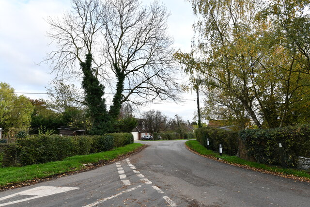
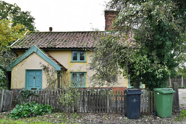
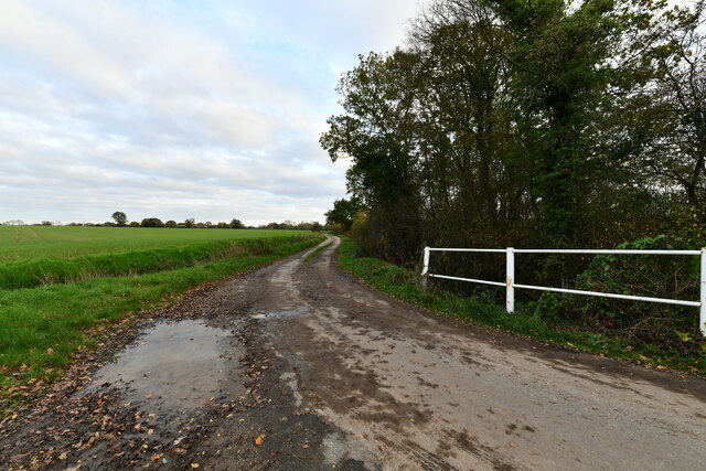
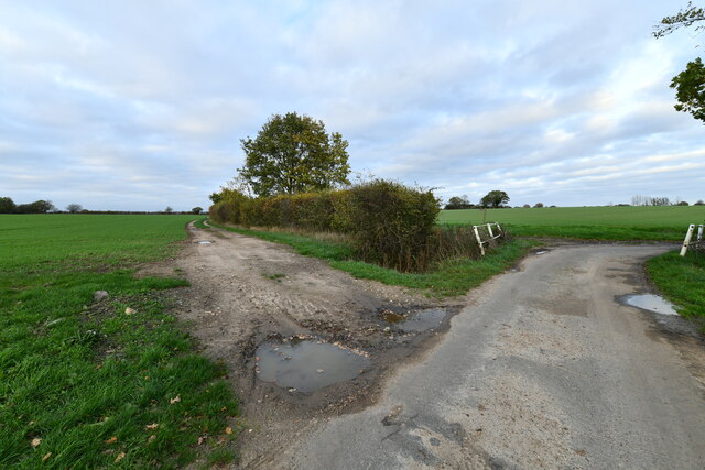
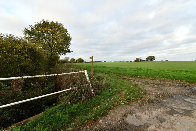
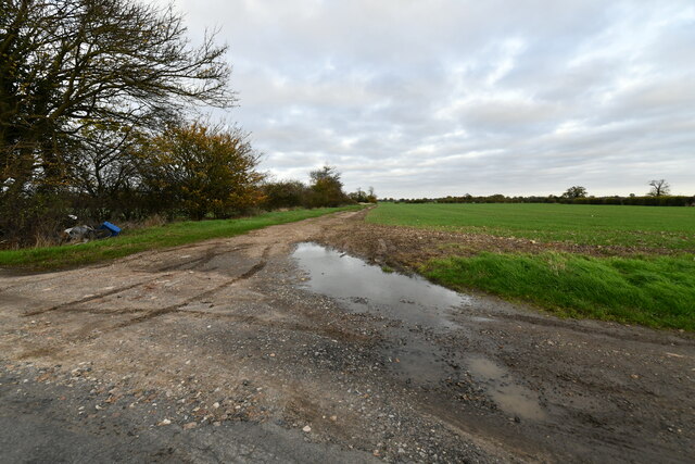
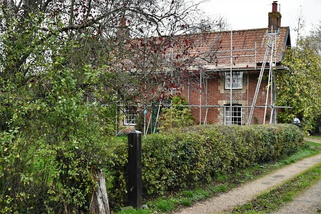
The village is known for its picturesque countryside, with rolling hills, green fields, and charming traditional cottages. It has a strong agricultural heritage, and farming remains an important industry in the area. The landscape is dotted with farms and smallholdings, creating a scenic backdrop for residents and visitors alike.

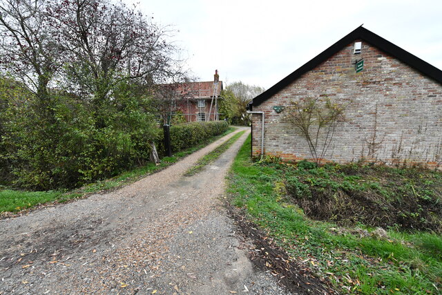
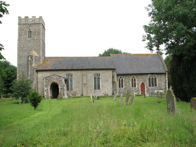
Gissing boasts a close-knit community, with a friendly and welcoming atmosphere. The village is home to a primary school, St. John the Baptist Church, and a village hall that serves as a hub for social activities and events. There are also several footpaths and bridleways that allow residents to explore the surrounding countryside, making it an ideal location for nature enthusiasts and walkers.

Although Gissing is a relatively small village, it benefits from its proximity to larger towns and cities. Norwich, a vibrant city renowned for its rich history and cultural attractions, is easily accessible by car or public transportation. This provides residents with a range of amenities, including shops, restaurants, and entertainment options.

Overall, Gissing offers a tranquil and idyllic countryside retreat, with a strong sense of community and easy access to nearby towns and cities. It is a peaceful haven for those seeking a rural lifestyle.

If you have any feedback on the listing, please let us know in the comments section below.

Gissing Images

Images are sourced within 2km of 52.426681/1.149451 or Grid Reference TM1485. Thanks to Geograph Open Source API. All images are credited.

Burston and Shimpling: Mill Green
Burston and Shimpling: Unharvested maize crop
Burston and Shimpling: Water tower
Burston and Shimpling: 'Elbow Cottage'
Burston and Shimpling: Water tower
Burston and Shimpling: Marlers Farm
Gissing, Wash Lane
Gissing, Wash Lane
Gissing, Wash Lane
Gissing, Wash Lane
Gissing, Back Lane: Track and public footpath
Gissing: Farm Track
Gissing: Farm Track
Gissing: Simond's Farmhouse
Gissing: High Oaks Farm
Gissing: Homefields Farm
Gissing: 'Bridge View' and 'Arch Cottage'
Gissing: Sign Post
Gissing: Sign Post
Show me another place!

Gissing is located at Grid Ref: TM1485 (Lat: 52.426681, Lng: 1.149451)

Administrative County: Norfolk

District: South Norfolk

Police Authority: Norfolk

What 3 Words

///worry.direct.orbited. Near Dickleburgh, Norfolk

Related Wikis

Gissing, Norfolk

Gissing is a village and civil parish in Norfolk, England, about 6 miles (9.7 km) north of Diss and 15 miles (24 km) south-west of Norwich. == History... ==

Heywood, Norfolk

Heywood is a civil parish in the English county of Norfolk. It was formed in 2003 from a part of the parish of Diss. It covers an area of 9.56 km2 (3.69...

Burston railway station

Burston railway station was on the Diss to Norwich line and served the village of Burston, Norfolk. Only the station building remains; the signal box has...

Tivetshall St Margaret

Tivetshall St Margaret is a village and former civil parish, now in the parish of Tivetshall, in the South Norfolk district, in the county of Norfolk,...

Nearby Amenities

Located within 500m of 52.426681,1.149451
Fixme: Find where speed limit changes
Lat/Long: 52.4245923/1.1540138
Ford: yes
Lat/Long: 52.4261757/1.1550293
Bus Stop
Gissing Common Road
Bench: no
Bin: no
Bus: yes
Covered: no
Naptan AtcoCode: 2900G085
Naptan Bearing: N
Naptan BusStopType: CUS
Naptan CommonName: Bridge Rise
Naptan Indicator: adj
Naptan Landmark: Bridge Rise
Naptan Locality: Gissing
Naptan NaptanCode: nfoatatm
Naptan ShortCommonName: Bridge Rise
Naptan Street: Common Road
Naptan Verified: yes
Passenger Information Display: no
Public Transport: platform
Shelter: no
Source: naptan_import;survey
Tactile Paving: yes
Lat/Long: 52.4306626/1.1482168
Bus Stop
Gissing Common Road
Bench: no
Bin: no
Bus: yes
Covered: no
Naptan AtcoCode: 2900G086
Naptan Bearing: S
Naptan BusStopType: CUS
Naptan CommonName: Bridge Rise
Naptan Indicator: opp
Naptan Landmark: Bridge Rise
Naptan Locality: Gissing
Naptan NaptanCode: nfoatatp
Naptan ShortCommonName: Bridge Rise
Naptan Street: Common Road
Naptan Verified: yes
Passenger Information Display: no
Public Transport: platform
Shelter: no
Source: naptan_import;survey
Tactile Paving: yes
Lat/Long: 52.4306465/1.148315
New Road, adj
Naptan AtcoCode: 2900G087
Naptan Bearing: S
Naptan BusStopType: CUS
Naptan CommonName: New Road
Naptan Indicator: adj
Naptan Landmark: New Street
Naptan Locality: Gissing
Naptan NaptanCode: nfoatatw
Naptan Street: Upper Street
Naptan Verified: no
Physically Present: no
Source: naptan_import
Lat/Long: 52.4270242/1.1492434
New Road, opp
Naptan AtcoCode: 2900G088
Naptan Bearing: N
Naptan BusStopType: CUS
Naptan CommonName: New Road
Naptan Indicator: opp
Naptan Landmark: opp New Street
Naptan Locality: Gissing
Naptan NaptanCode: nfoatawa
Naptan ShortCommonName: New Road
Naptan Street: Upper Street
Naptan Verified: no
Physically Present: no
Source: naptan_import
Lat/Long: 52.4271059/1.1493404
Gissing
Place: village
Wikidata: Q2211434
Wikipedia: en:Gissing, Norfolk
Lat/Long: 52.4236015/1.1524743
Booth: K6
Removed Amenity: telephone
Lat/Long: 52.4279402/1.1486774
Fixme: Find where speed limit changes
Lat/Long: 52.4282225/1.148763
Post Box
Collection Times: Mo-Fr 17:15; Sa 10:00
Operator: Royal Mail
Post Box Mounting: telegraph_pole
Post Box Type: lamp
Ref: IP22 7029
Royal Cypher: EIIR
Royal Cypher Wikidata: Q33102113
Lat/Long: 52.4269164/1.149297
Power: pole
Lat/Long: 52.4298479/1.1490166
Power: pole
Lat/Long: 52.4293491/1.1483755
Power: pole
Lat/Long: 52.4293319/1.1483636
Power: pole
Lat/Long: 52.4307138/1.1500775
Power: pole
Lat/Long: 52.4282934/1.145735
Power: pole
Lat/Long: 52.4267004/1.1428704
Power: pole
Lat/Long: 52.4283024/1.1457497
Power: pole
Lat/Long: 52.4298528/1.1490541
Power: pole
Lat/Long: 52.428878/1.1472597
Power: pole
Lat/Long: 52.4288658/1.1472612
Power: pole
Lat/Long: 52.4308013/1.1465838
Power: pole
Lat/Long: 52.4307114/1.1500653
Power: pole
Lat/Long: 52.4285411/1.1433598
Power: pole
Lat/Long: 52.4296696/1.1445239
Power: pole
Lat/Long: 52.4270806/1.1435207
Power: pole
Lat/Long: 52.4277659/1.1448216
Bench
Backrest: yes
Material: wood
Seats: 3
Lat/Long: 52.4237177/1.1549344
Board Type: notice
Information: board
Tourism: information
Lat/Long: 52.4237693/1.1547849
Historic: yes
Man Made: water_well
Pump: manual
Lat/Long: 52.4303928/1.1473023
Grit Bin
Lat/Long: 52.4242788/1.1538508
The data included in this document is from www.openstreetmap.org. The data is made available under ODbL.

Have you been to Gissing?

Leave your review of Gissing below (or comments, questions and feedback).