Gissing
Civil Parish in Norfolk South Norfolk
England
Gissing

Gissing is a civil parish located in the county of Norfolk, England. Situated in the South Norfolk district, it covers an area of approximately 9.7 square kilometers and is home to a population of around 400 people. The parish is located about 20 miles south of Norwich, the county town of Norfolk.
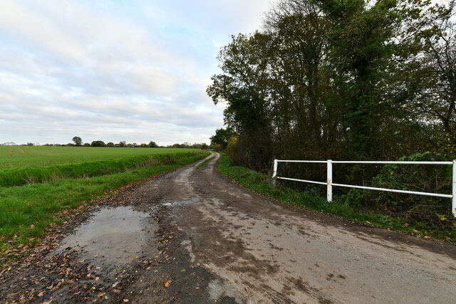
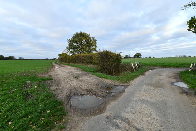
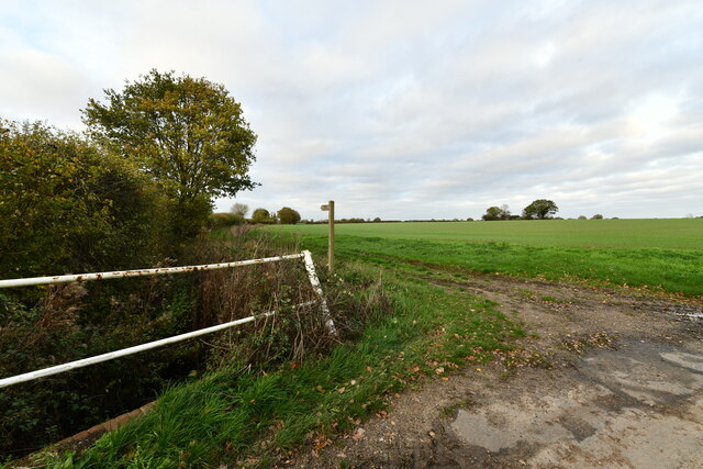
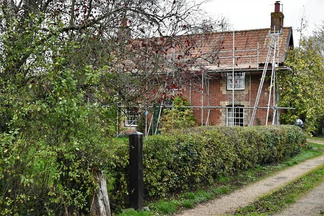
The village of Gissing is a small and picturesque settlement with a rich history dating back to medieval times. It is surrounded by beautiful countryside, offering scenic views and an ideal location for outdoor activities such as walking and cycling. The parish also includes the hamlet of Wood Green, located to the north of the village.
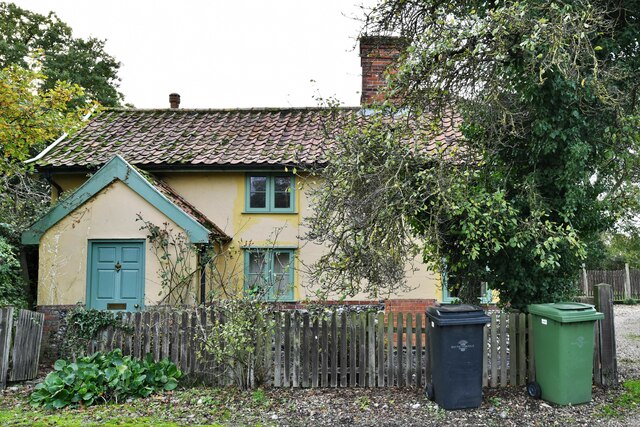
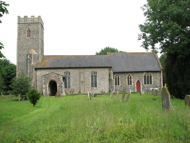
Gissing is known for its traditional architecture, with many historic buildings and houses still standing today. The Church of St. Mary, a Grade I listed building, is a prominent feature in the village and dates back to the 14th century. It is an excellent example of medieval architecture and attracts visitors interested in historical landmarks.
The village has a close-knit community and offers basic amenities such as a village hall and a primary school. It also has a pub, The Burston Crown, which serves as a popular gathering place for locals and visitors alike.
Overall, Gissing is a charming and idyllic parish that offers a peaceful and rural lifestyle. Its rich history, beautiful surroundings, and strong community spirit make it an attractive place to live or visit.
If you have any feedback on the listing, please let us know in the comments section below.
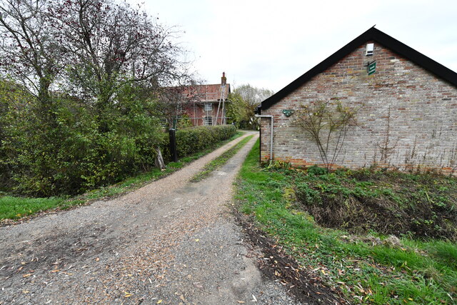
Gissing Images
Images are sourced within 2km of 52.42889/1.158334 or Grid Reference TM1485. Thanks to Geograph Open Source API. All images are credited.


Gissing is located at Grid Ref: TM1485 (Lat: 52.42889, Lng: 1.158334)
Administrative County: Norfolk
District: South Norfolk
Police Authority: Norfolk
What 3 Words
///smirks.stroke.crackling. Near Dickleburgh, Norfolk
Nearby Locations
Related Wikis

Gissing, Norfolk
Gissing is a village and civil parish in Norfolk, England, about 6 miles (9.7 km) north of Diss and 15 miles (24 km) south-west of Norwich. == History... ==
Tivetshall St Margaret
Tivetshall St Margaret is a village and former civil parish, now in the parish of Tivetshall, in the South Norfolk district, in the county of Norfolk,...

Tivetshall St Mary
Tivetshall St Mary is a village and former civil parish, now in the parish of Tivetshall, in the South Norfolk district in the county of Norfolk, England...
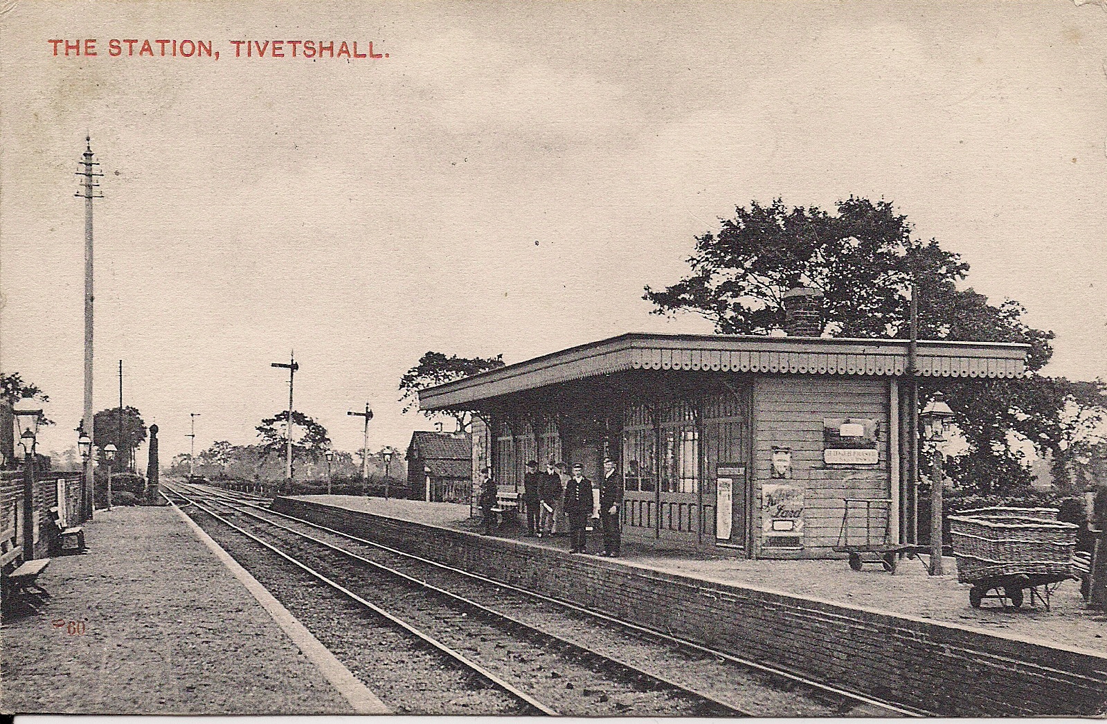
Tivetshall railway station
Tivetshall was a railway station on the Great Eastern Main Line located in Tivetshall, Norfolk. It was also the western terminus of the Waveney Valley...
Nearby Amenities
Located within 500m of 52.42889,1.158334Have you been to Gissing?
Leave your review of Gissing below (or comments, questions and feedback).