Gisburn

Settlement in Yorkshire Ribble Valley

England

Gisburn

Delicious Deli and Café - Gisburn
Delicious Deli and Café - Gisburn Credit: Anthony Parkes

Gisburn is a small village located in the Ribble Valley district of the historic county of Yorkshire, England. Situated near the border of Lancashire, Gisburn lies within the picturesque countryside of the Forest of Bowland Area of Outstanding Natural Beauty. The village is approximately 6 miles south-west of the market town of Clitheroe and about 17 miles north-east of Burnley.

Gisburn has a rich history dating back to the Domesday Book, where it was recorded as "Giseburne." The village is known for its charming stone-built houses and traditional architecture, which adds to its overall character. The local community is closely knit, and the village is home to a range of amenities, including a primary school, a village hall, a post office, and a pub.

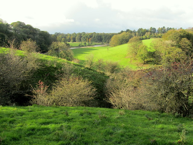
The surrounding area offers numerous opportunities for outdoor enthusiasts, with several walking and cycling routes passing through Gisburn. The nearby Gisburn Forest is a popular destination for nature lovers, offering a variety of recreational activities such as mountain biking, hiking, and picnicking. Additionally, the village is within easy reach of the Yorkshire Dales National Park, providing access to stunning landscapes, waterfalls, and wildlife.

Gisburn hosts various events throughout the year, including the Gisburn Festival of Speed, which attracts motorsport enthusiasts from around the region. The village also benefits from its proximity to the bustling market town of Clitheroe, where visitors can explore its historic castle, independent shops, and vibrant market.

Overall, Gisburn offers a tranquil and idyllic setting, making it an appealing destination for those seeking a peaceful retreat in the heart of Yorkshire's countryside.

If you have any feedback on the listing, please let us know in the comments section below.
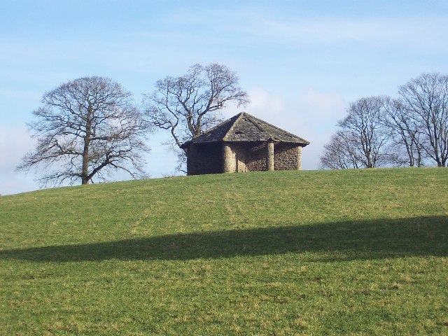
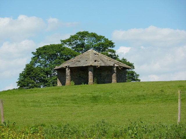
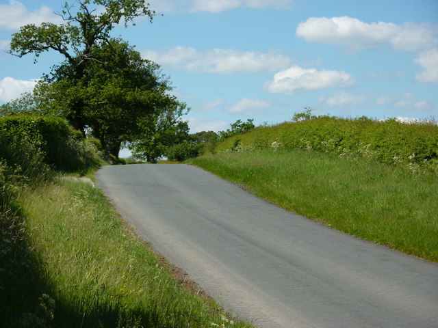
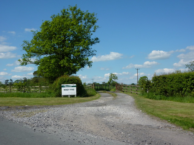
Gisburn Images

Images are sourced within 2km of 53.935055/-2.265076 or Grid Reference SD8248. Thanks to Geograph Open Source API. All images are credited.

Delicious Deli and Café - Gisburn
Fields East of Gisburn
West Portal Gisburne Park  Railway Tunnel A cut and cover short tunnel required by the landowner and decorated appropriately. The turrets of the east portal can be seen as well across this part of Gisburne Park
West Portal Gisburne Park Railway Tunnel
A cut and cover short tunnel required by the landowner and decorated appropriately. The turrets of the east portal can be seen as well across this part of Gisburne Park
Gisburne Park Railway Tunnel Turrets A curious view of mock castle turrets in parkland, disguising a railway line
Gisburne Park Railway Tunnel Turrets
A curious view of mock castle turrets in parkland, disguising a railway line
Old Guide Stone by A682, Rimington Lane junction with Hardacre Lane (East face) The Guide Stone is located in angle of minor roads, next to grey metal junction box on the West side of the road.  Parish of Rimington (Ribble Valley District). Carved stone post, erected in the 18th Century, old edge chips. An earlier photograph can be found here: <a title="https://www.geograph.org.uk/photo/6076649" href="https://www.geograph.org.uk/photo/6076649">Link</a> 

Inscription reads:- 
TO / {hand to left}  / BurnLey /(1) 2 m : : TO / {hand to right} / (?) /5 ms / TO E {hand to left} / Gisbern / 1m 

Grade II listed. 
List Entry Number: 1165264 <span class="nowrap"><a title="https://historicengland.org.uk/listing/the-list/list-entry/1165264" rel="nofollow ugc noopener" href="https://historicengland.org.uk/listing/the-list/list-entry/1165264">Link</a><img style="margin-left:2px;" alt="External link" title="External link - shift click to open in new window" src="https://s1.geograph.org.uk/img/external.png" width="10" height="10"/></span> 

Milestone Society National ID: YW_XGIS
Old Guide Stone by A682, Rimington Lane junction with Hardacre Lane (East face)
The Guide Stone is located in angle of minor roads, next to grey metal junction box on the West side of the road.  Parish of Rimington (Ribble Valley District). Carved stone post, erected in the 18th Century, old edge chips. An earlier photograph can be found here: Link  Inscription reads:- TO / {hand to left} / BurnLey /(1) 2 m : : TO / {hand to right} / (?) /5 ms / TO E {hand to left} / Gisbern / 1m Grade II listed. List Entry Number: 1165264 LinkExternal link Milestone Society National ID: YW_XGIS
Old Guide Stone by A682, Rimington Lane junction with Hardacre Lane (West Face) The Guide Stone is located in angle of minor roads, next to grey metal junction box on the West side of the road.  Parish of Rimington (Ribble Valley District). Carved stone post, erected in the 18th Century, old edge chips. East face photograph can be found here: <a title="https://www.geograph.org.uk/photo/7383066" href="https://www.geograph.org.uk/photo/7383066">Link</a> 

Inscription reads:- 
TO / {hand to left}  / BurnLey /(1) 2 m : : TO / {hand to right} / (?) / 5 ms / TO E {hand to left} / Gisbern / 1m 

Grade II listed. 
List Entry Number: 1165264 <span class="nowrap"><a title="https://historicengland.org.uk/listing/the-list/list-entry/1165264" rel="nofollow ugc noopener" href="https://historicengland.org.uk/listing/the-list/list-entry/1165264">Link</a><img style="margin-left:2px;" alt="External link" title="External link - shift click to open in new window" src="https://s1.geograph.org.uk/img/external.png" width="10" height="10"/></span> 

Milestone Society National ID: YW_XGIS
Old Guide Stone by A682, Rimington Lane junction with Hardacre Lane (West Face)
The Guide Stone is located in angle of minor roads, next to grey metal junction box on the West side of the road.  Parish of Rimington (Ribble Valley District). Carved stone post, erected in the 18th Century, old edge chips. East face photograph can be found here: Link Inscription reads:- TO / {hand to left} / BurnLey /(1) 2 m : : TO / {hand to right} / (?) / 5 ms / TO E {hand to left} / Gisbern / 1m Grade II listed. List Entry Number: 1165264 LinkExternal link Milestone Society National ID: YW_XGIS
Old milestone This milestone which would have stood at the southeast corner of the A59/B6265 Bracewll Lane is now built into steps at the back of the White Bull PH in Gisburn.  This face is engraved with a hand pointing left/To/SKipton/9 Miles/hand pointing right/Gisbor(n)/2 Ms.  The other visible face is engraved with a hand pointing left To/Settle 11 ms/hand to right/Colne 7 ms.
Old milestone
This milestone which would have stood at the southeast corner of the A59/B6265 Bracewll Lane is now built into steps at the back of the White Bull PH in Gisburn. This face is engraved with a hand pointing left/To/SKipton/9 Miles/hand pointing right/Gisbor(n)/2 Ms. The other visible face is engraved with a hand pointing left To/Settle 11 ms/hand to right/Colne 7 ms.
Gisburne Park Entrance Lodges At the south entrance at the end of Park Road from the centre of Gisburn
Gisburne Park Entrance Lodges
At the south entrance at the end of Park Road from the centre of Gisburn
Extraordinary Structure near Ellenthorpe Near the kennels and farm at Ellenthorpe. This odd structure stands alone and isolated in an empty pasture. Is it an elaborate ancient shelter for livestock or a folly of some sort? What category shall I file it under? Must be curiosity
Extraordinary Structure near Ellenthorpe
Near the kennels and farm at Ellenthorpe. This odd structure stands alone and isolated in an empty pasture. Is it an elaborate ancient shelter for livestock or a folly of some sort? What category shall I file it under? Must be curiosity
Middle Breaks Hill Hill about a mile north of Gisburn with Farm bearing the same name at its base to the right
Middle Breaks Hill
Hill about a mile north of Gisburn with Farm bearing the same name at its base to the right
Low Laithe
Low Laithe
Culvert or Bridge You have a choice as to what you call this, but you will still keep your feet dry when you use it to cross the stream
Culvert or Bridge
You have a choice as to what you call this, but you will still keep your feet dry when you use it to cross the stream
Pasture west of Painley Farm
Barn north east of Ellenthorpe Farm
Carter's Lane
Carter's Lane
Road to Windy Pike
Road to Windy Pike
A  View over the Ribble Valley The Ribble south of Paythorne seen from near Castle Haugh
A View over the Ribble Valley
The Ribble south of Paythorne seen from near Castle Haugh
Rivet benchmark on a milestone north of Gisburn Settle 10 miles on the south face, Gisburn 1 mile on the north.   The Ordnance Survey arrow is on the east face
Rivet benchmark on a milestone north of Gisburn
Settle 10 miles on the south face, Gisburn 1 mile on the north. The Ordnance Survey arrow is on the east face
Show me another place!

Gisburn is located at Grid Ref: SD8248 (Lat: 53.935055, Lng: -2.265076)

Division: West Riding

Administrative County: Lancashire

District: Ribble Valley

Police Authority: Lancashire

What 3 Words

///meals.briefing.lads. Near Barnoldswick, Lancashire

Related Wikis

Gisburn railway station

Gisburn railway station served the small village of Gisburn, which is now in Lancashire, England, but was in the West Riding of Yorkshire at the time....

Gisburn Tunnel

Gisburn Tunnel is a short railway tunnel on the Ribble Valley line in Lancashire, England. The tunnel is 157 yards (144 m) long, just to the east of Gisburn...

Gisburn

Gisburn (formerly Gisburne) is a village and civil parish within the Ribble Valley borough of Lancashire, England. Historically within the West Riding...

Gisburne Park

Gisburne Park is an 18th-century country house and associated park in Gisburn, Lancashire, England, in the Ribble Valley some 6 miles (10 km) north-east...

Nearby Amenities

Located within 500m of 53.935055,-2.265076
Mini Roundabout
Direction: clockwise
Source: survey
Lat/Long: 53.9353503/-2.2597382
Gisburn
Is In Country Code: GB
Is In County: Lancashire
Is In Historic County: Yorkshire
Is In Municipality: Ribble Valley
Is In Valley: Ribblesdale
Old Name: Gisburne
Place: village
Postal Code: BB7
Source: npe
Lat/Long: 53.9345098/-2.262089
Telephone
Defibrillator
Access: yes
Booth: KX100
Covered: booth
Defibrillator Location: inside phone box, Main Street, Gisburn
Emergency: defibrillator
Man Made: telephone_box
Source: survey
Lat/Long: 53.9358028/-2.2581343
Gisburn
Abandoned Railway: station
End Date: 1962-09
Railway: site
Source: NPE
Start Date: 1879
Wikidata: Q5564887
Wikipedia: en:Gisburn railway station
Lat/Long: 53.9358816/-2.2668923
Restaurant
La Locanda
Addr City: Clitheroe
Addr Postcode: BB7 4HH
Addr Street: Main Street
Cuisine: italian
Phone: +44 1200 445303
Website: https://www.lalocanda.co.uk/
Lat/Long: 53.9353753/-2.2591076
Barrier: yes
Lat/Long: 53.9340093/-2.2693533
Generator Method: photovoltaic
Generator Output Electricity: yes
Generator Source: solar
Generator Type: solar_photovoltaic_panel
Location: roof
Power: generator
Lat/Long: 53.9340688/-2.2625227
Barrier: yes
Lat/Long: 53.9350271/-2.2652746
Post Box
Post Box Type: pillar
Royal Cypher: EIIR
Lat/Long: 53.9349541/-2.2631835
Historic: memorial
Memorial: war_memorial
Lat/Long: 53.9347059/-2.2636415
The data included in this document is from www.openstreetmap.org. The data is made available under ODbL.

Have you been to Gisburn?

Leave your review of Gisburn below (or comments, questions and feedback).