Girton
Settlement in Cambridgeshire South Cambridgeshire
England
Girton
Girton is a picturesque village located in the South Cambridgeshire district of Cambridgeshire, England. It is situated approximately 2.5 miles northwest of the city of Cambridge, making it an ideal location for those seeking a rural setting while still being within close proximity to urban amenities.
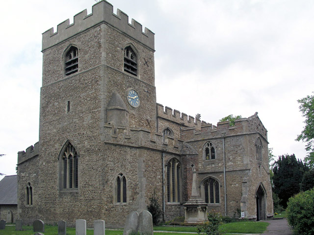
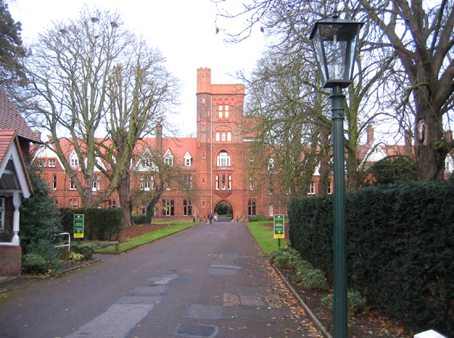
The village is known for its charming and well-preserved historic buildings, with many dating back to the 17th and 18th centuries. The centerpiece of Girton is the Grade II listed Girton College, which was founded in 1869 as the first residential college for women in the United Kingdom. The college's stunning architecture and beautiful grounds add to the village's overall appeal.
Girton offers a range of amenities for its residents, including a local pub, a village hall, a post office, and a convenience store. The nearby city of Cambridge provides additional shopping, dining, and entertainment options, as well as world-renowned educational and cultural institutions.
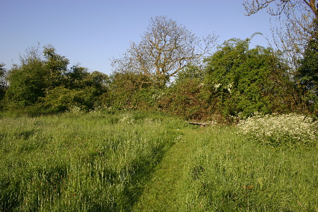
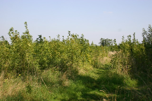
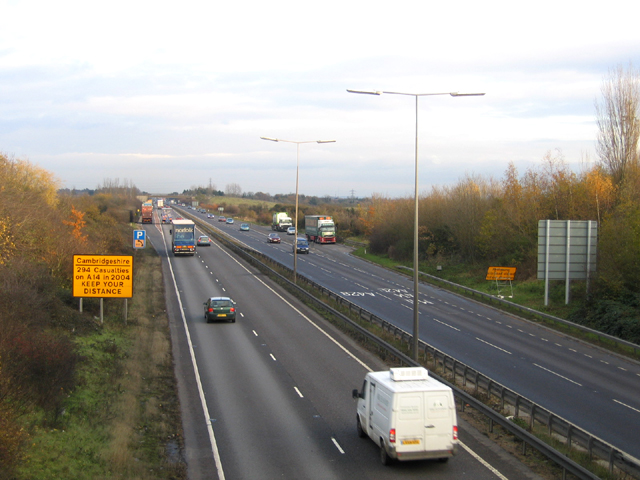
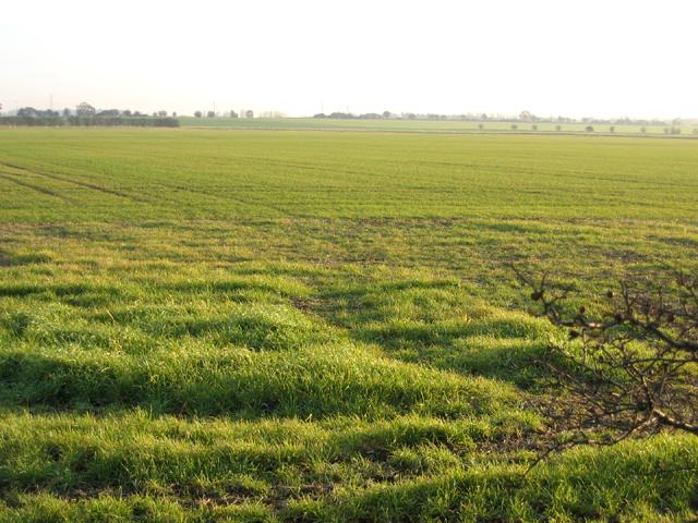
The surrounding countryside of Girton is characterized by rolling hills, lush green fields, and meandering rivers, offering ample opportunities for outdoor activities such as hiking, cycling, and boating. The village is also well-connected to the rest of Cambridgeshire and beyond, with good transport links via road and public transportation.
Overall, Girton is a charming and idyllic village that combines the tranquility of rural living with the convenience of easy access to nearby urban amenities.
If you have any feedback on the listing, please let us know in the comments section below.
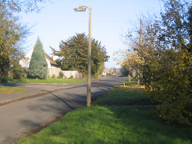
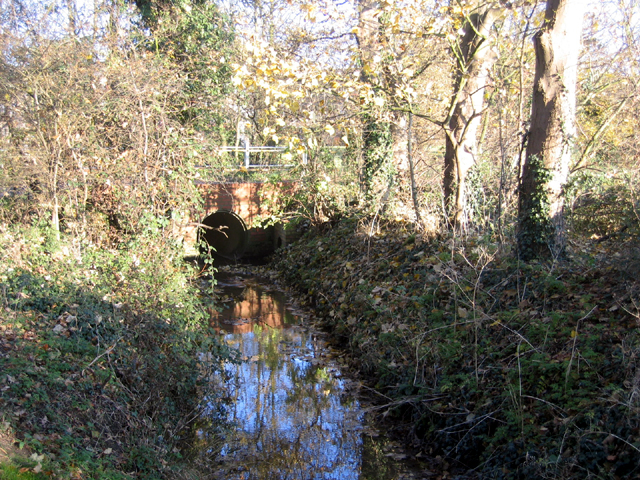
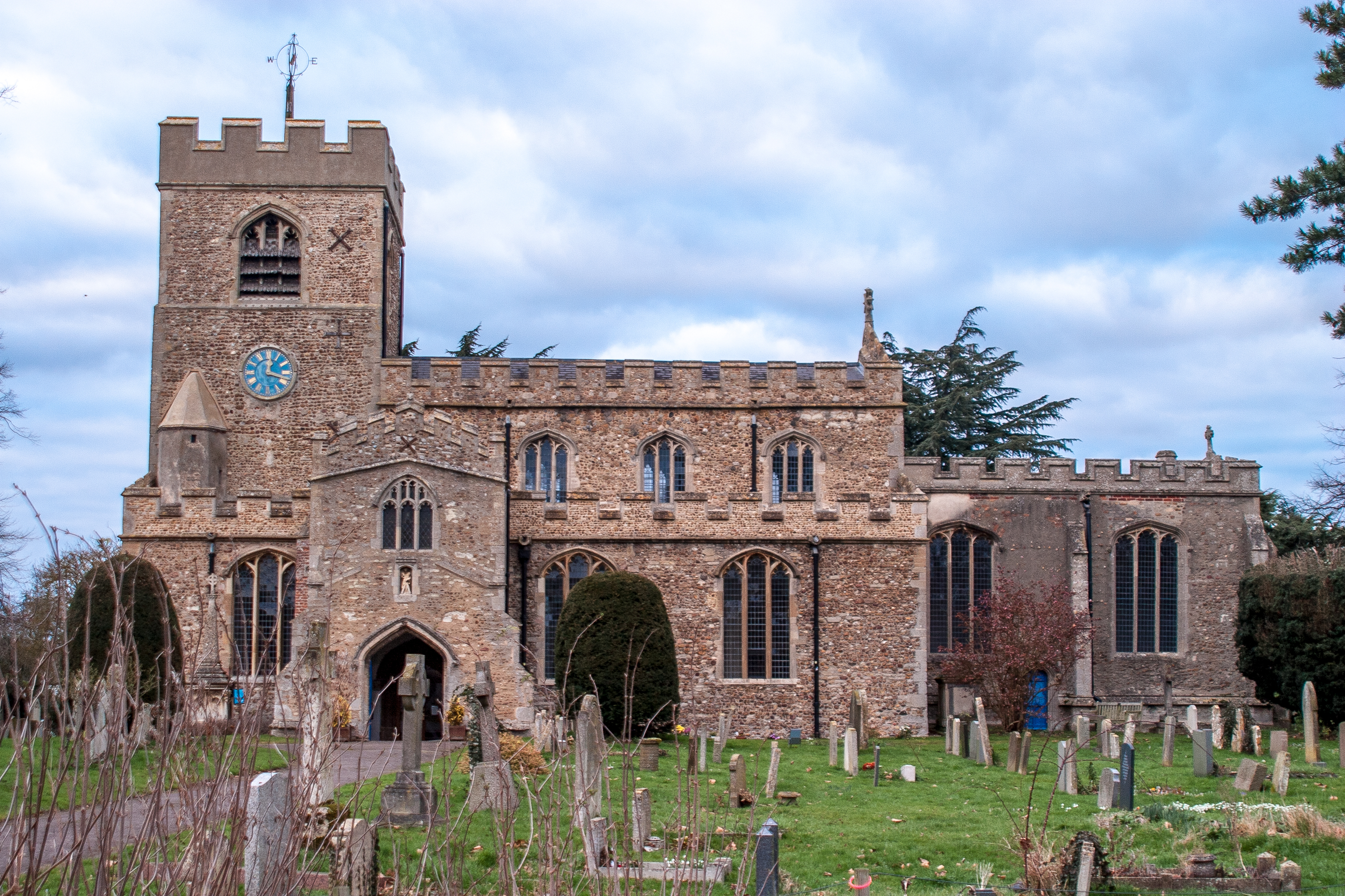
Girton Images
Images are sourced within 2km of 52.24095/0.081414 or Grid Reference TL4262. Thanks to Geograph Open Source API. All images are credited.


Girton is located at Grid Ref: TL4262 (Lat: 52.24095, Lng: 0.081414)
Administrative County: Cambridgeshire
District: South Cambridgeshire
Police Authority: Cambridgeshire
What 3 Words
///bucket.tinsel.pill. Near Girton, Cambridgeshire
Nearby Locations
Related Wikis
Girton, Cambridgeshire
Girton is a village and civil parish of about 1,600 households, and 4,500 people, in Cambridgeshire, England. It lies about 2 miles (3 km) to the northwest...

Girton College, Cambridge
Girton College is one of the 31 constituent colleges of the University of Cambridge. The college was established in 1869 by Emily Davies and Barbara Bodichon...

Huntingdon Road
Huntingdon Road is a major arterial road linking central Cambridge, England with Junction 14 of the M11 motorway and the A14 northwest from the city centre...

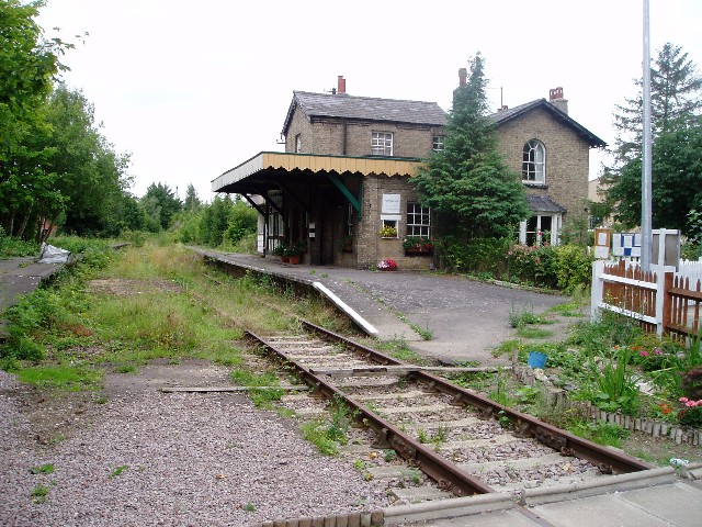
Histon railway station
Histon railway station is a disused railway station in Impington, Cambridgeshire on the Cambridge–St Ives branch of the Great Eastern Railway. The station...
Nearby Amenities
Located within 500m of 52.24095,0.081414Have you been to Girton?
Leave your review of Girton below (or comments, questions and feedback).