Gilston Park
Settlement in Hertfordshire East Hertfordshire
England
Gilston Park
Gilston Park is a historic country estate located in Hertfordshire, England. Situated near the village of Gilston, the park spans an impressive area of approximately 1,800 acres. The estate has a rich and diverse history, dating back to the 12th century when it was first mentioned in historical records.
The centerpiece of Gilston Park is a magnificent Grade I listed Georgian mansion. Built in the early 18th century, the house boasts stunning architecture and is surrounded by meticulously manicured gardens. These gardens, adorned with ancient trees and vibrant flowerbeds, offer a tranquil escape for visitors.
The estate also features several outbuildings, including stables, barns, and cottages, which add to its charm and character. In addition to the main house, there are several other residential properties nestled within the park.
Gilston Park is renowned for its picturesque landscape, encompassing rolling hills, meandering rivers, and lush woodlands. The parkland provides a haven for wildlife, making it a popular destination for nature enthusiasts and birdwatchers.
The estate has undergone various transformations over the years, with different owners leaving their mark on the property. Currently, Gilston Park is privately owned and serves as a private residence. The estate is not open to the public, but its grandeur can still be appreciated from a distance.
Overall, Gilston Park is a treasured gem in Hertfordshire, showcasing the region's natural beauty and architectural heritage.
If you have any feedback on the listing, please let us know in the comments section below.
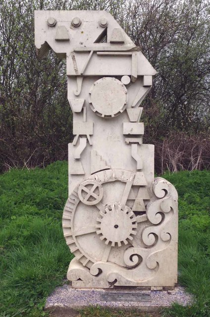
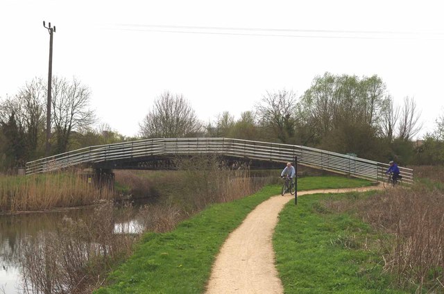
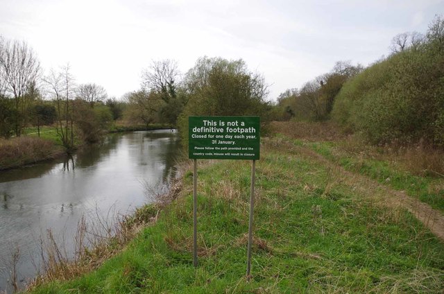
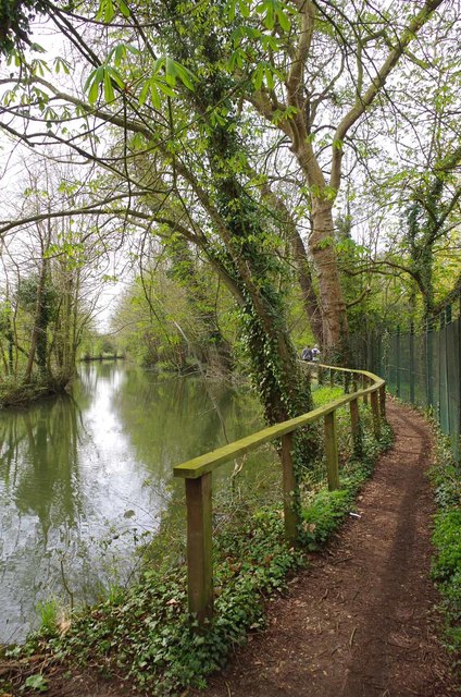
Gilston Park Images
Images are sourced within 2km of 51.797116/0.0867968 or Grid Reference TL4413. Thanks to Geograph Open Source API. All images are credited.


Gilston Park is located at Grid Ref: TL4413 (Lat: 51.797116, Lng: 0.0867968)
Administrative County: Hertfordshire
District: East Hertfordshire
Police Authority: Hertfordshire
What 3 Words
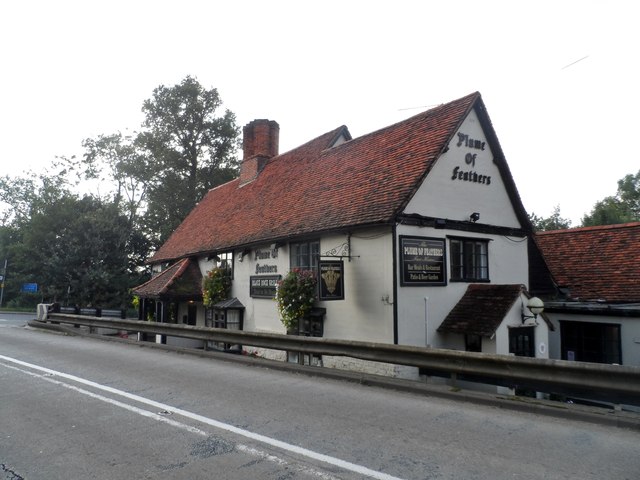
///plank.dark.kinks. Near Harlow, Essex
Nearby Locations
Related Wikis

Gilston Park
Gilston Park is a Grade II* listed country house in Gilston, Hertfordshire, England. It was designed by Philip Hardwick for John Hodgson around 1852....

Catuvellauni
The Catuvellauni (Common Brittonic: *Catu-wellaunī, "war-chiefs") were a Celtic tribe or state of southeastern Britain before the Roman conquest, attested...

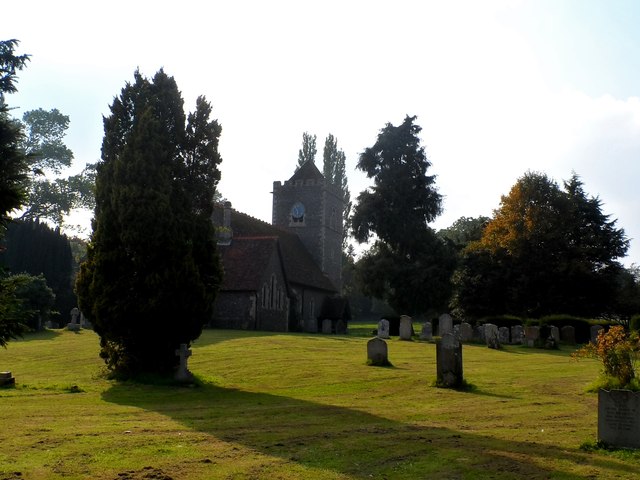
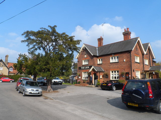
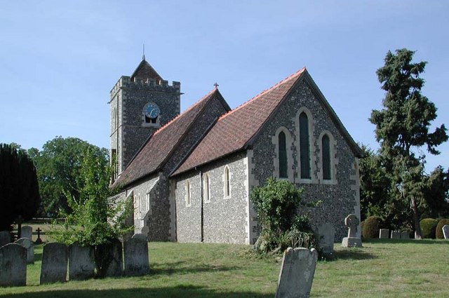
Gilston
Gilston is a village and civil parish in the East Hertfordshire district of Hertfordshire, England. It is located a little over one mile north of the town...
Eastwick, Hertfordshire
Eastwick is a village and civil parish 7 miles (11 km) east of Hertford, in the East Hertfordshire district, in the county of Hertfordshire, England. In...
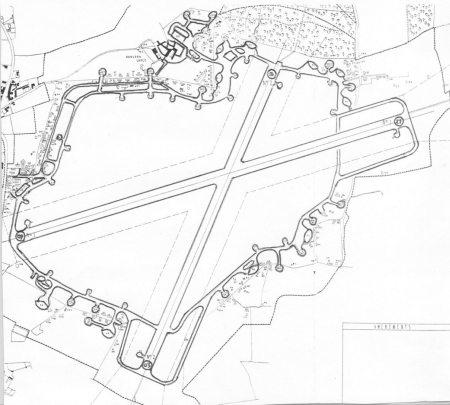
Hunsdon Airfield
Hunsdon Airfield is an airfield near Hunsdon, Hertfordshire and 2.8 miles (4.5 km) north of Harlow, Essex, England. As of 2021, it is used by a local microlight...

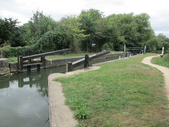
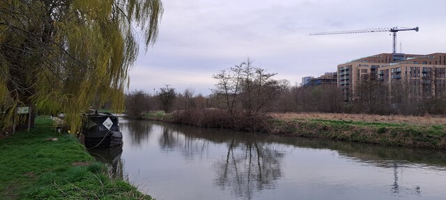
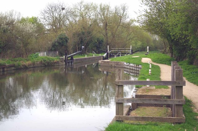
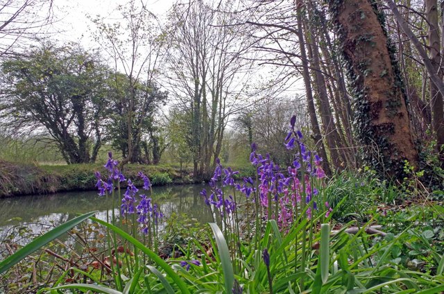
Stort Navigation
The Stort Navigation is the canalised section of the River Stort running 22 kilometres (14 mi) from the town of Bishop's Stortford, Hertfordshire, downstream...

Harlow Marsh
Harlow Marsh is a 13.8 hectare Local Nature Reserve in Harlow in Essex. It is owned and managed by Harlow District Council.The site is in three separate...
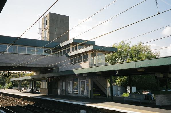
Harlow Town railway station
Harlow Town railway station is on the West Anglia Main Line serving the town of Harlow in Essex, England. It is 22 miles 59 chains (36.6 km) down the line...
Nearby Amenities
Located within 500m of 51.797116,0.0867968Have you been to Gilston Park?
Leave your review of Gilston Park below (or comments, questions and feedback).