Rectory Plantation
Wood, Forest in Hertfordshire East Hertfordshire
England
Rectory Plantation
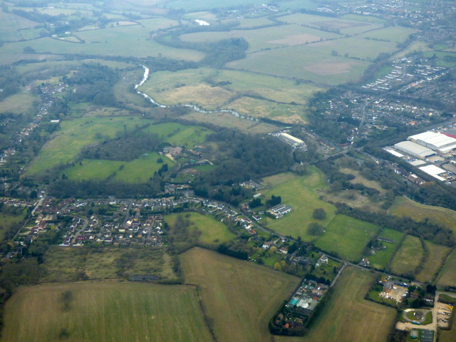
Rectory Plantation is a picturesque woodland area located in Hertfordshire, England. Situated near the village of Wood, this plantation is known for its serene and natural beauty. Covering a vast expanse of land, Rectory Plantation is a popular destination for nature lovers and outdoor enthusiasts.
The plantation is predominantly made up of a dense forest, characterized by a variety of native tree species. Towering oak trees, graceful beech trees, and majestic conifers create a diverse and vibrant ecosystem. The forest floor is carpeted with a myriad of wildflowers, ferns, and mosses, adding to the area's enchanting charm.
Wildlife thrives in Rectory Plantation, making it a haven for animal lovers. Visitors may be fortunate enough to spot deer, foxes, badgers, and various bird species such as woodpeckers and owls. The plantation also provides a habitat for smaller creatures like squirrels, rabbits, and hedgehogs.
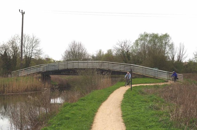
Tranquil walking trails wind through the plantation, offering visitors the opportunity to immerse themselves in the natural surroundings. The paths are well-maintained and accessible, making it an ideal location for a leisurely stroll or a more challenging hike. The peaceful ambiance and fresh air make Rectory Plantation a popular destination for those seeking solace and a break from the hustle and bustle of everyday life.
Overall, Rectory Plantation in Hertfordshire is a captivating woodland area that showcases the beauty of nature. With its rich biodiversity, scenic trails, and abundant wildlife, it is a treasure trove for nature enthusiasts and a delightful escape from the urban landscape.
If you have any feedback on the listing, please let us know in the comments section below.
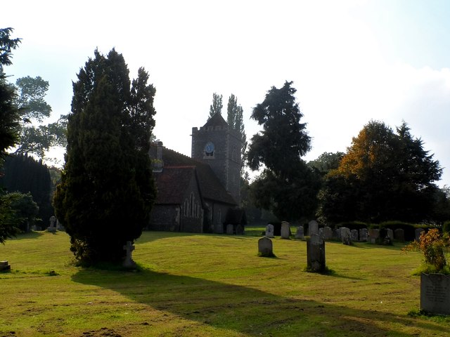
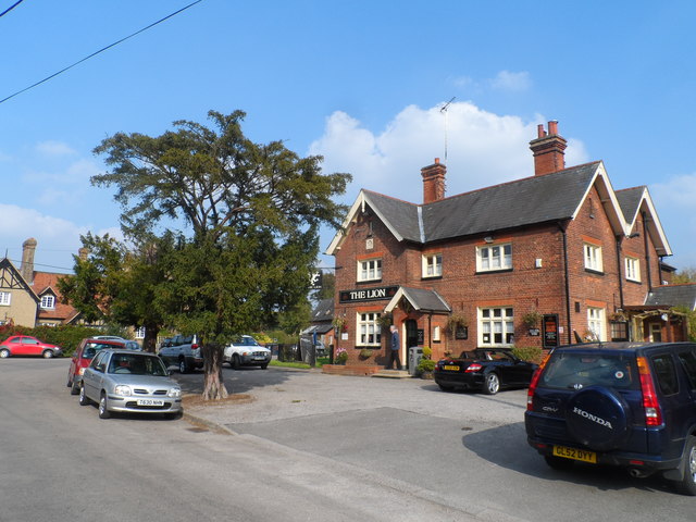
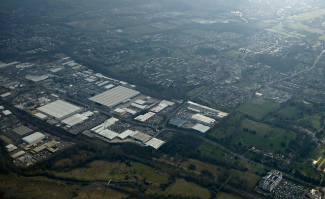
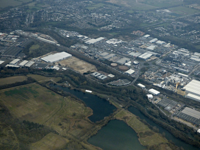
Rectory Plantation Images
Images are sourced within 2km of 51.798226/0.097638531 or Grid Reference TL4413. Thanks to Geograph Open Source API. All images are credited.

Rectory Plantation is located at Grid Ref: TL4413 (Lat: 51.798226, Lng: 0.097638531)
Administrative County: Hertfordshire
District: East Hertfordshire
Police Authority: Hertfordshire
What 3 Words
///under.knots.logs. Near Harlow, Essex
Nearby Locations
Related Wikis

Catuvellauni
The Catuvellauni (Common Brittonic: *Catu-wellaunī, "war-chiefs") were a Celtic tribe or state of southeastern Britain before the Roman conquest, attested...

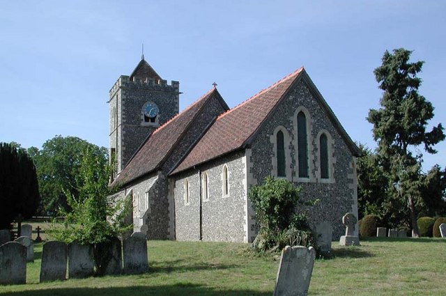
Gilston Park
Gilston Park is a Grade II* listed country house in Gilston, Hertfordshire, England. It was designed by Philip Hardwick for John Hodgson around 1852....

Gilston
Gilston is a village and civil parish in the East Hertfordshire district of Hertfordshire, England. It is located a little over one mile north of the town...

Harlow Marsh
Harlow Marsh is a 13.8 hectare Local Nature Reserve in Harlow in Essex. It is owned and managed by Harlow District Council.The site is in three separate...

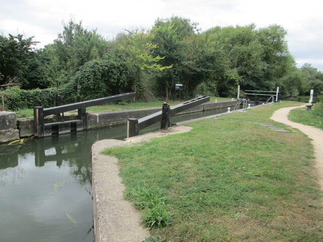
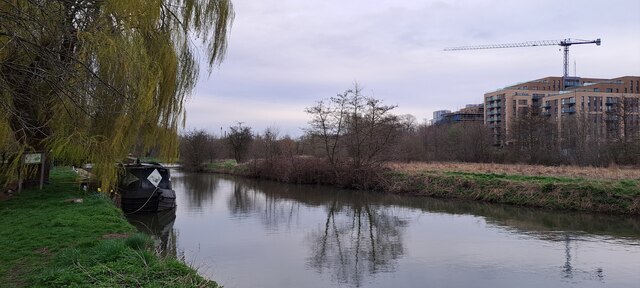
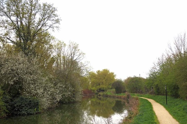
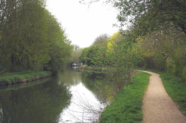
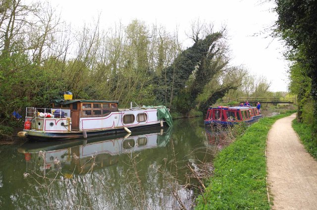
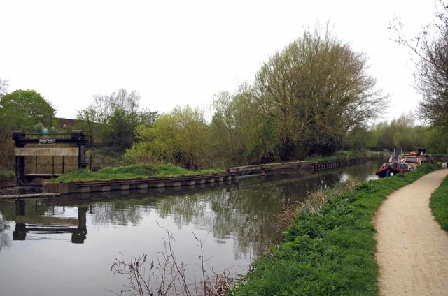
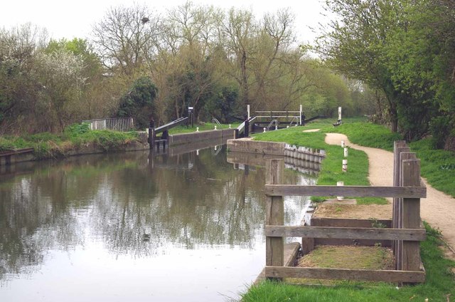
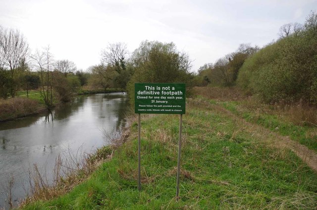
Stort Navigation
The Stort Navigation is the canalised section of the River Stort running 22 kilometres (14 mi) from the town of Bishop's Stortford, Hertfordshire, downstream...
Eastwick, Hertfordshire
Eastwick is a village and civil parish 7 miles (11 km) east of Hertford, in the East Hertfordshire district, in the county of Hertfordshire, England. In...
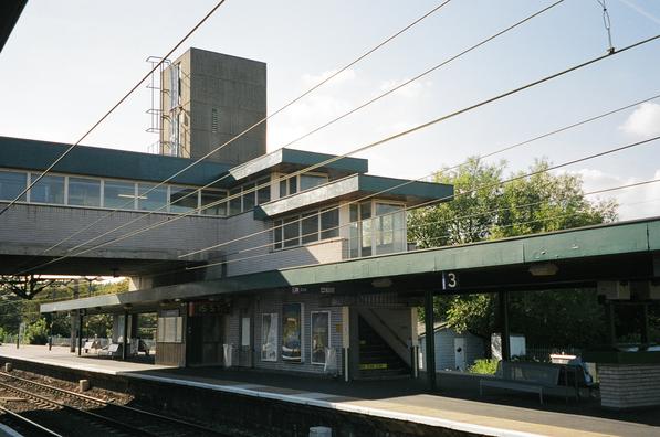
Harlow Town railway station
Harlow Town railway station is on the West Anglia Main Line serving the town of Harlow in Essex, England. It is 22 miles 59 chains (36.6 km) down the line...

High Wych
High Wych is a village and civil parish in the East Hertfordshire district of Hertfordshire, England. The village is located a little over one mile south...
Nearby Amenities
Located within 500m of 51.798226,0.097638531Have you been to Rectory Plantation?
Leave your review of Rectory Plantation below (or comments, questions and feedback).