Avington
Settlement in Berkshire
England
Avington

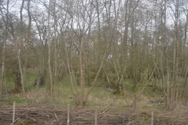
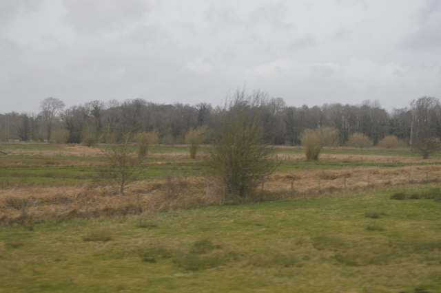
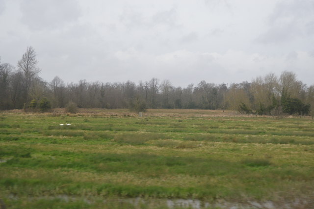
Avington is a small village located in Berkshire, England. It is situated about 3 miles northeast of Hungerford and is known for its picturesque countryside and historic buildings. The village is surrounded by farmland and rolling hills, making it a popular destination for those seeking a peaceful and scenic retreat.
One of the most notable landmarks in Avington is the Avington Park, a stunning 17th-century mansion set within a beautiful parkland estate. The mansion is known for its elegant architecture and well-manicured gardens, making it a popular venue for weddings and events.
Avington is also home to a quaint parish church, St. Mary's Church, which dates back to the 12th century. The church features a mix of architectural styles, including Norman and Gothic elements, and is a designated Grade I listed building.
Overall, Avington offers visitors a charming and tranquil setting to explore the English countryside and immerse themselves in the village's rich history and natural beauty.
If you have any feedback on the listing, please let us know in the comments section below.
Avington Images
Images are sourced within 2km of 51.410659/-1.467249 or Grid Reference SU3768. Thanks to Geograph Open Source API. All images are credited.


Avington is located at Grid Ref: SU3768 (Lat: 51.410659, Lng: -1.467249)
Unitary Authority: West Berkshire
Police Authority: Thames Valley
What 3 Words
///hairstyle.comply.useful. Near Kintbury, Berkshire
Related Wikis
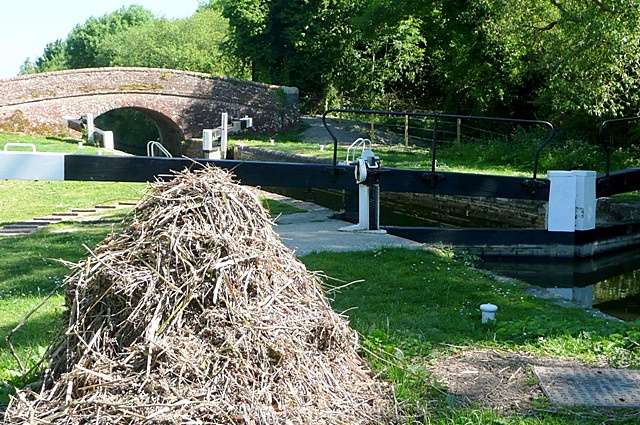
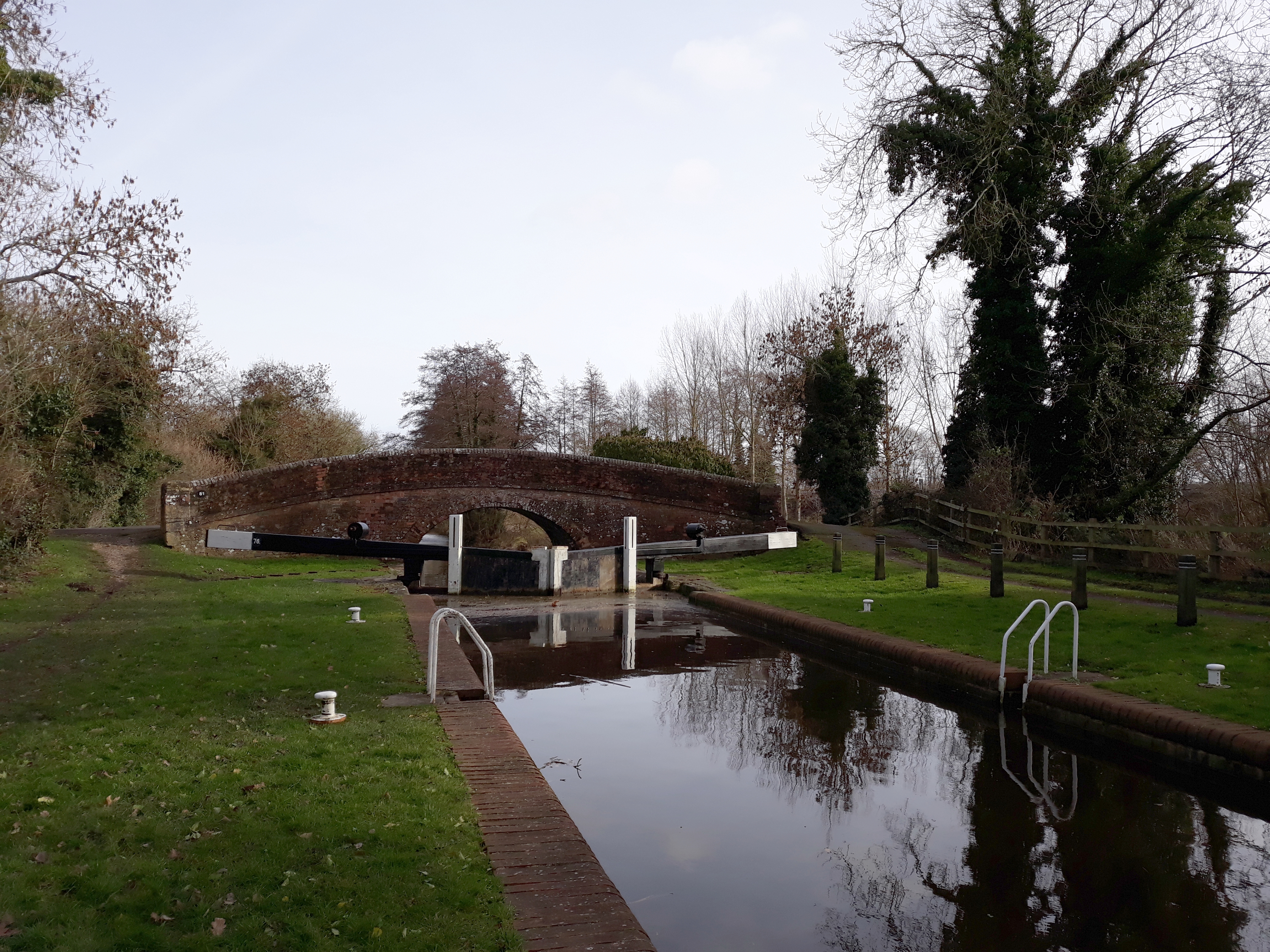
Brunsden Lock
Brunsdon Lock is a lock on the Kennet and Avon Canal, near Kintbury, Berkshire, England. The lock has a rise/fall of 4 ft 11 in (1.5 m). The Lock is also...

Avington, Berkshire
Avington is a village and former civil parish, now in the parish of Kintbury, in the West Berkshire district, in the ceremonial county of Berkshire, England...
Wire Lock
Wire Lock is a lock on the Kennet and Avon Canal, near Hungerford, Berkshire, England. It is a grade II listed building. == References == == See also... ==
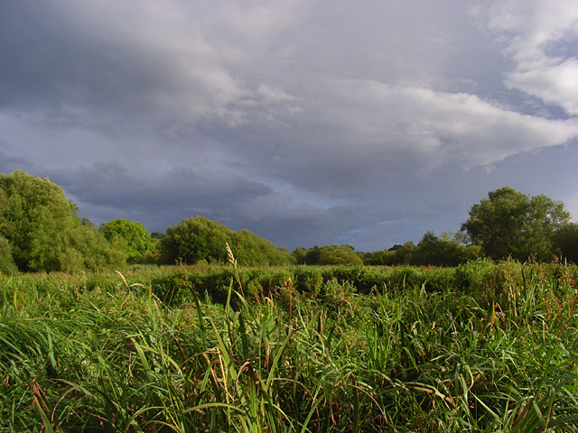
Kennet and Lambourn Floodplain
Kennet and Lambourn Floodplain is a 23.4-hectare (58-acre) biological Site of Special Scientific Interest in six widely separated areas in the floodplains...
Nearby Amenities
Located within 500m of 51.410659,-1.467249Have you been to Avington?
Leave your review of Avington below (or comments, questions and feedback).