Avington
Settlement in Hampshire Winchester
England
Avington
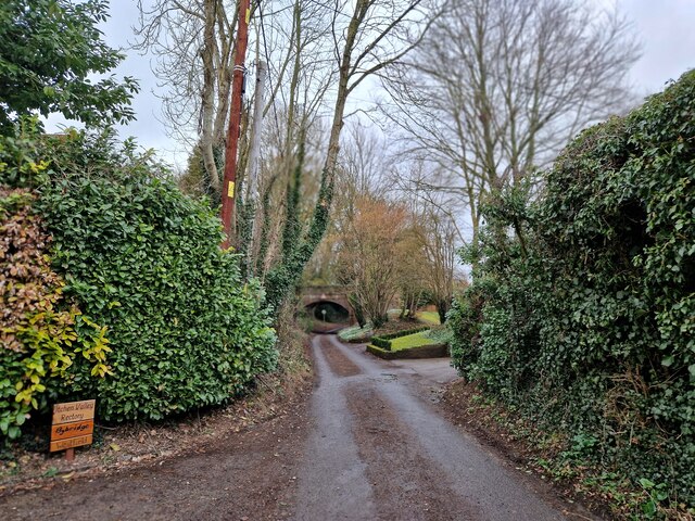
Avington is a picturesque village located in the county of Hampshire, England. Situated along the River Itchen, it has a population of around 200 people. The village is part of the Itchen Valley civil parish and lies approximately 4 miles northeast of the city of Winchester.
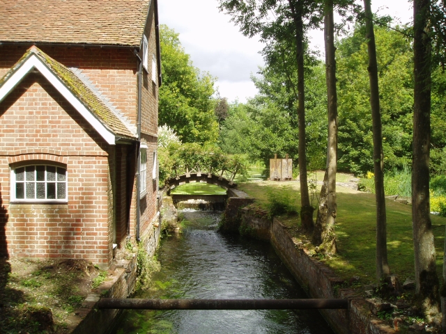
Avington is renowned for its natural beauty and charming countryside setting. The village is surrounded by rolling hills, meandering streams, and lush green fields, making it an ideal destination for nature enthusiasts and outdoor activities. The River Itchen, which flows through the village, is particularly famous for its crystal-clear waters and is considered one of the finest chalk streams in England.
The centerpiece of Avington is Avington Park, an exquisite Jacobean mansion built in the 16th century. The mansion, with its stunning architecture and well-preserved interiors, attracts visitors from far and wide. The estate also features beautifully landscaped gardens, including a walled garden, a yew tree maze, and a serene lake.
The village itself offers a peaceful and tranquil atmosphere, with a small community church and a handful of historic buildings. Avington is well-connected to neighboring towns and villages, with excellent road links and regular bus services. Nearby attractions include the South Downs National Park, Winchester Cathedral, and the historic city of Southampton.
Overall, Avington is a charming village that offers a perfect blend of natural beauty, rich history, and a close-knit community, making it a delightful place to visit or call home.
If you have any feedback on the listing, please let us know in the comments section below.
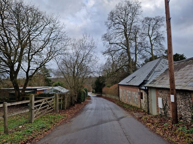
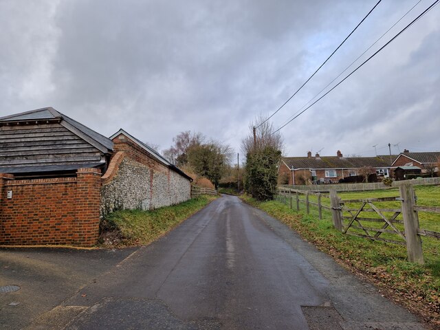
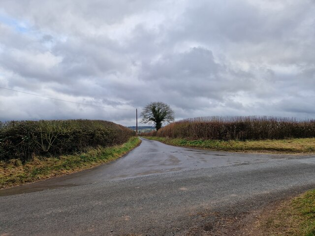
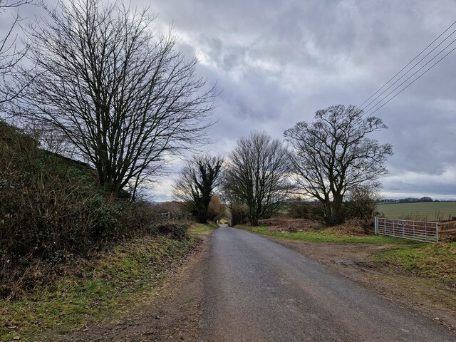
Avington Images
Images are sourced within 2km of 51.084789/-1.240422 or Grid Reference SU5332. Thanks to Geograph Open Source API. All images are credited.


Avington is located at Grid Ref: SU5332 (Lat: 51.084789, Lng: -1.240422)
Administrative County: Hampshire
District: Winchester
Police Authority: Hampshire
What 3 Words
///woes.uncouth.spotty. Near Kings Worthy, Hampshire
Nearby Locations
Related Wikis

Avington, Hampshire
Avington is a small village and former civil parish, now in the parish of Itchen Valley, in the Winchester district, in the county of Hampshire, England...
Avington Park
Avington House is a 16th-century English country house which stands in Avington Park in the Itchen Valley near Winchester, Hampshire. It is a Grade I listed...
Itchen Abbas
Itchen Abbas is a village and former civil parish, now in the parish of Itchen Valley, in the Winchester district, in the county of Hampshire, England...
Itchen Valley
Itchen Valley is a civil parish in the English county of Hampshire. Forming part of the City of Winchester district, it comprises the villages of Avington...
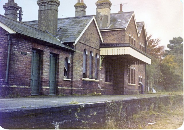
Itchen Abbas railway station
The Itchen Abbas railway station was in the county of Hampshire in England and opened on 2 October 1865 by the Mid-Hants Railway. It closed on 5 February...

Capital South Coast
Capital South Coast was a regional radio station owned by operated by Global Radio as part of the Capital radio network. It broadcast to Hampshire from...

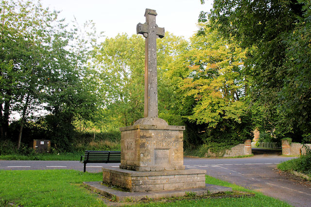
St Swithun's Church, Martyr Worthy
St Swithun's Church, Martyr Worthy is a Church of England parish church in Martyr Worthy, Hampshire, England. The church, parts of which date from the...
Martyr Worthy
Martyr Worthy is a small village and former civil parish, now in the parish of Itchen Valley, in the Winchester non-metropolitan district of Hampshire...
Nearby Amenities
Located within 500m of 51.084789,-1.240422Have you been to Avington?
Leave your review of Avington below (or comments, questions and feedback).