Loch Bacabhat

Lake, Pool, Pond, Freshwater Marsh in Ross-shire

Scotland

Loch Bacabhat

Fields at Siadar
Fields at Siadar Credit: Hugh Venables

The requested URL returned error: 429 Too Many Requests

If you have any feedback on the listing, please let us know in the comments section below.

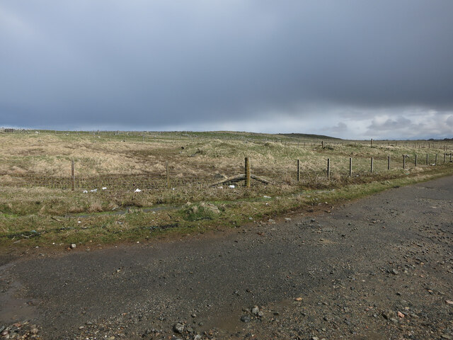
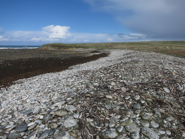
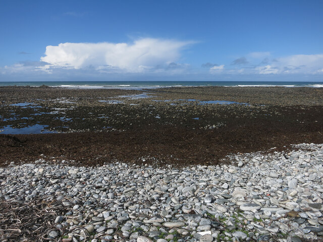
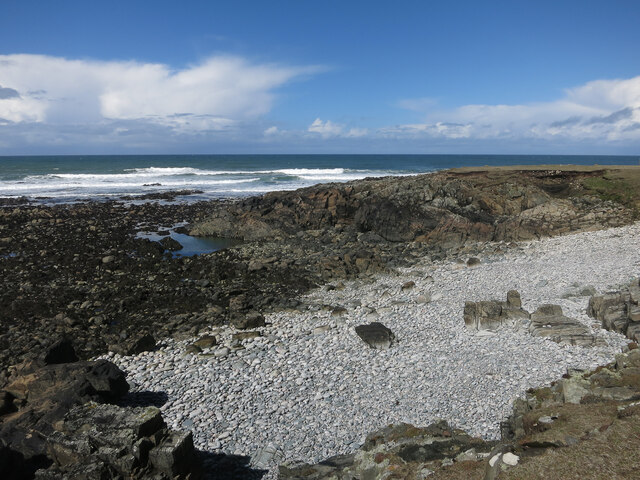
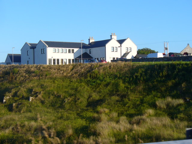
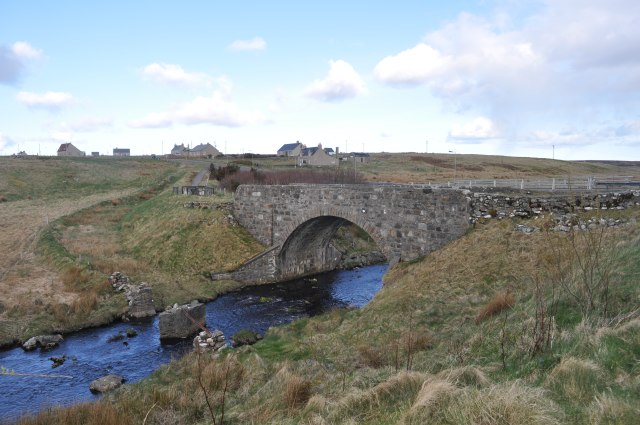
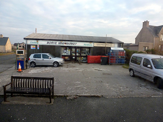
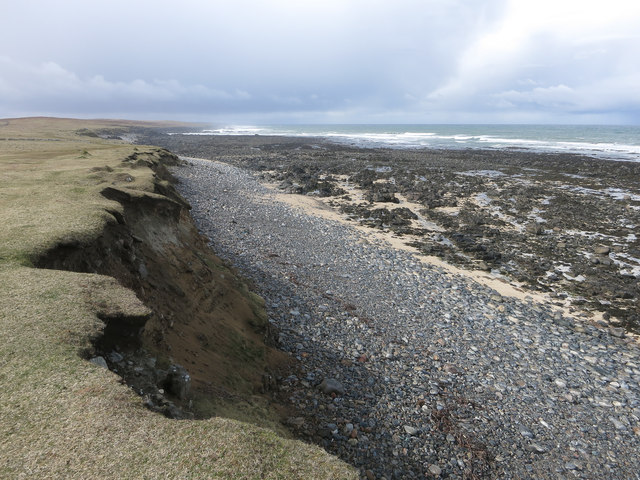
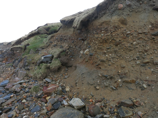
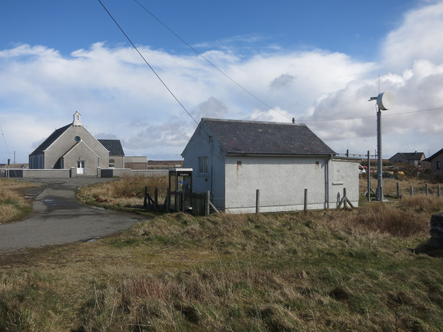
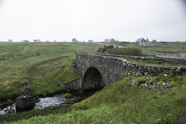
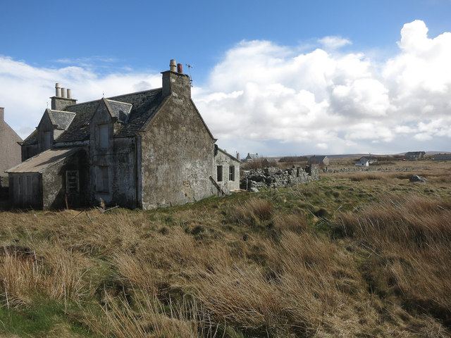
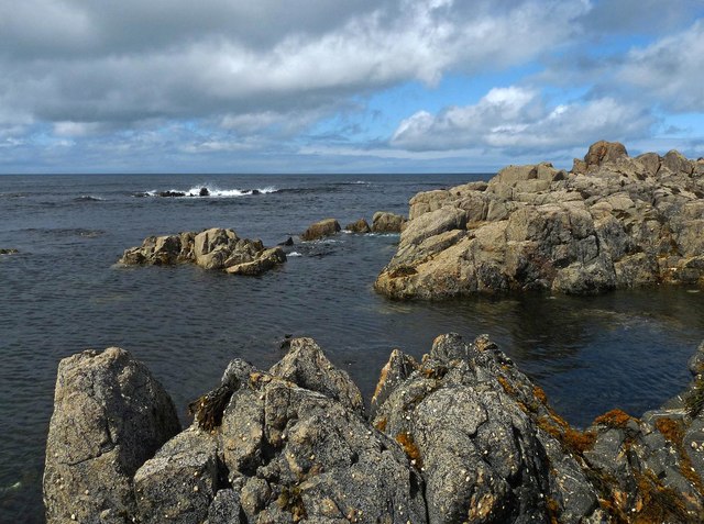
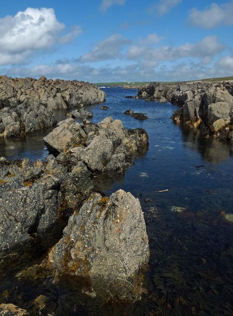
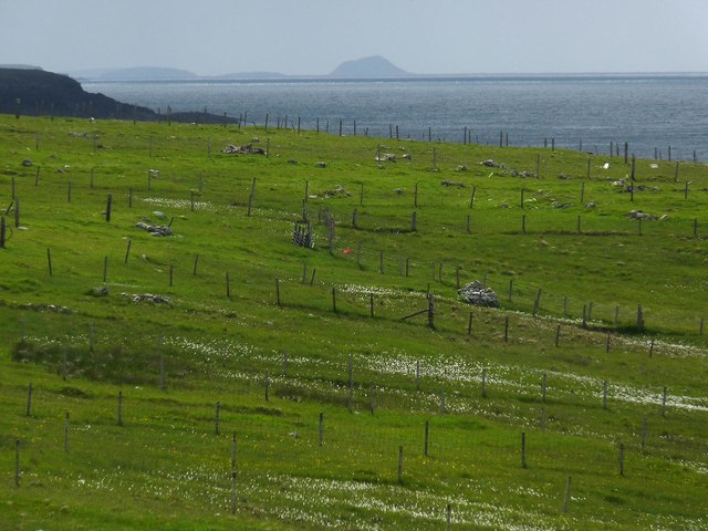
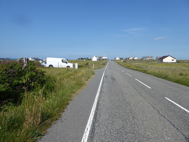
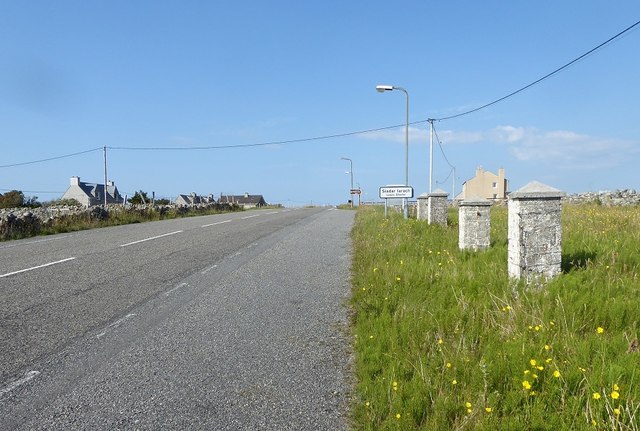
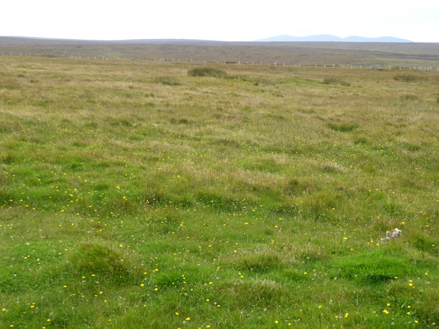
Loch Bacabhat Images

Images are sourced within 2km of 58.407104/-6.4564572 or Grid Reference NB3955. Thanks to Geograph Open Source API. All images are credited.

Fields at Siadar
Fields at Siadar
Upper beach near Siadar Exposed Atlantic coast.
Upper beach near Siadar
Exposed Atlantic coast.
Mol Eire Exposed Atlantic coast.
Mol Eire
Exposed Atlantic coast.
Rubha Bhlanisgaidh
Rubha Bhlanisgaidh
Borve Hotel Large Lewis hotel on a river terrace above the Abhainn Bhuirgh / Borve Water.
Borve Hotel
Large Lewis hotel on a river terrace above the Abhainn Bhuirgh / Borve Water.
Bridge at Borve This bridge carries the A857 over the Abhainn Bhuirgh. There are what looks like the remains of an earlier bridge next to it.
Bridge at Borve
This bridge carries the A857 over the Abhainn Bhuirgh. There are what looks like the remains of an earlier bridge next to it.
Borve Minimarket
Borve Minimarket
Cliff near Coig Peighinnean Bhuirgh A mix of unconsolidated deposits, not always a match for Atlantic storms.
Cliff near Coig Peighinnean Bhuirgh
A mix of unconsolidated deposits, not always a match for Atlantic storms.
Eroding cliff Interesting deposits revealed by the coastal erosion. Compare to <a href="https://www.geograph.org.uk/photo/71736">SW3530 : Climate history revealed!</a> from Cornwall. Here the raised beach and glacial deposits are the other way around. This is because the raised beach is a recent feature, raised by the isostatic rebound of the ground after the weight of the ice sheet was removed by the end of the last glacial period.
Eroding cliff
Interesting deposits revealed by the coastal erosion. Compare to SW3530 : Climate history revealed! from Cornwall. Here the raised beach and glacial deposits are the other way around. This is because the raised beach is a recent feature, raised by the isostatic rebound of the ground after the weight of the ice sheet was removed by the end of the last glacial period.
Borve Free Church
Borve Free Church
The old bridge at Borve
Empty house, Borve
Empty house, Borve
Cladach Lag na Greine, Isle of Lewis The entry for Cladach Lag na Greine in the OS Name Book of 1848-1852 reads, "A portion of shore between high and low water mark which is composed of shelving rock, boulders and shingle.  Signifies Shore of Sunny Hollow".
Cladach Lag na Greine, Isle of Lewis
The entry for Cladach Lag na Greine in the OS Name Book of 1848-1852 reads, "A portion of shore between high and low water mark which is composed of shelving rock, boulders and shingle. Signifies Shore of Sunny Hollow".
Cladach Lag na Greine, Isle of Lewis The entry for Cladach Lag na Greine in the OS Name Book of 1848-1852 reads, "A portion of shore between high and low water mark which is composed of shelving rock, boulders and shingle. Signifies Shore of Sunny Hollow".
Cladach Lag na Greine, Isle of Lewis
The entry for Cladach Lag na Greine in the OS Name Book of 1848-1852 reads, "A portion of shore between high and low water mark which is composed of shelving rock, boulders and shingle. Signifies Shore of Sunny Hollow".
Croftland, Cuivatotar, Isle of Lewis The OS Name Book of 1848-1852 describes this land as, "a low, arable hill, on the sea-shore, at the north end of Seadair Iochdrach. There are a good number of ruins upon it. It produces tolerably good crops, though full of small rocks".
Croftland, Cuivatotar, Isle of Lewis
The OS Name Book of 1848-1852 describes this land as, "a low, arable hill, on the sea-shore, at the north end of Seadair Iochdrach. There are a good number of ruins upon it. It produces tolerably good crops, though full of small rocks".
The A857 through Shader
Moorland south of Steinacleit Typical of much of the interior of the Isle of Lewis. The mountains of Harris on the skyline.
Moorland south of Steinacleit
Typical of much of the interior of the Isle of Lewis. The mountains of Harris on the skyline.
Show me another place!

Loch Bacabhat is located at Grid Ref: NB3955 (Lat: 58.407104, Lng: -6.4564572)

Unitary Authority: Na h-Eileanan an Iar

Police Authority: Highlands and Islands

What 3 Words

///rebounded.vitals.extremely. Near North Tolsta, Na h-Eileanan Siar

Related Wikis

Steinacleit

Steinacleit is a prehistoric archeological site on the west coast of Lewis in the Outer Hebrides of Scotland. The site consists of an array of boulders...

Borve, Lewis

Borve (Scottish Gaelic: Borgh) is a village on the west side of the Isle of Lewis in Scotland, 17 miles (27 kilometres) from the island's only town, Stornoway...

Baile an Truiseil

Ballantrushal (Scottish Gaelic: Baile an Truiseil) is a village on the Isle of Lewis in the West Side district, in the Outer Hebrides, Scotland. Ballantrushal...
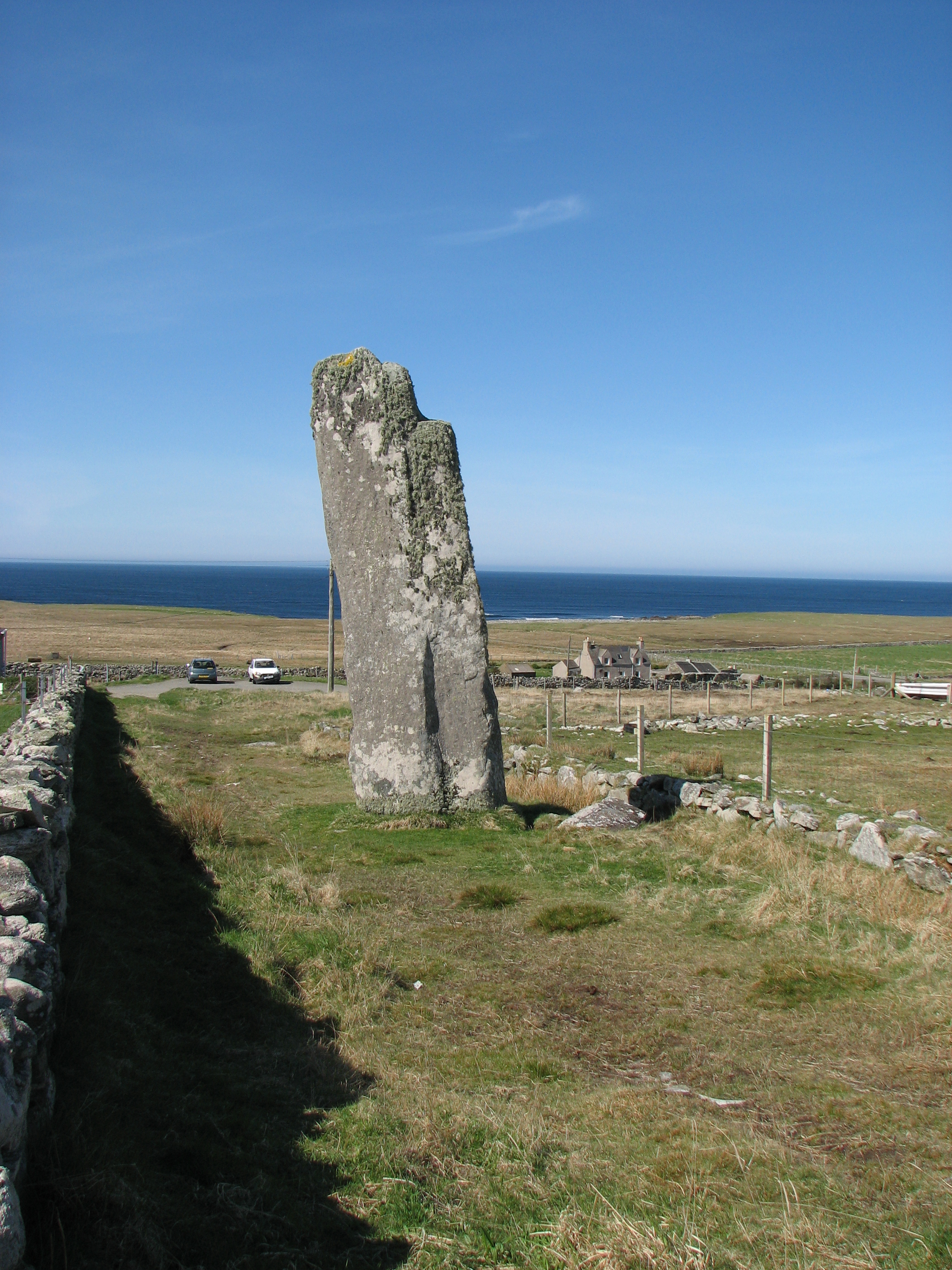
Clach an Trushal

Clach an Trushal (Scottish Gaelic: Clach an Truiseil, Scottish Gaelic pronunciation: [kʰl̪ˠax ən̪ˠ ˈt̪ʰɾuʃal], translated to English "Stone of Compassion...

Nearby Amenities

Located within 500m of 58.407104,-6.4564572
Post Box
Collection Times: Mo-Fr 10:45; Sa 10:45
Operator: Royal Mail
Post Box Type: lamp
Ref: HS2 164
Royal Cypher: scottish_crown
Source: survey
Lat/Long: 58.403635/-6.4614581
Power: pole
Lat/Long: 58.4055088/-6.4630803
Power: pole
Lat/Long: 58.4061172/-6.4618197
Power: pole
Lat/Long: 58.4065107/-6.4609802
Power: pole
Lat/Long: 58.4070531/-6.4598349
Power: pole
Lat/Long: 58.4076475/-6.458593
Power: pole
Lat/Long: 58.4081758/-6.4574772
Power: pole
Lat/Long: 58.4087434/-6.4562434
Power: pole
Lat/Long: 58.4092942/-6.4551061
Power: pole
Lat/Long: 58.4098015/-6.4540654
Power: pole
Lat/Long: 58.4103466/-6.4529121
Power: pole
Lat/Long: 58.4047673/-6.4637646
Power: pole
Lat/Long: 58.4058916/-6.4640178
Power: pole
Lat/Long: 58.4043474/-6.4613506
Power: pole
Lat/Long: 58.4052/-6.4615817
Power: pole
Lat/Long: 58.4058916/-6.4617759
Power: pole
Lat/Long: 58.4091406/-6.4526954
Power: pole
Lat/Long: 58.4094471/-6.4533026
Barrier: cattle_grid
Lat/Long: 58.4041465/-6.4597425
The data included in this document is from www.openstreetmap.org. The data is made available under ODbL.

Have you been to Loch Bacabhat?

Leave your review of Loch Bacabhat below (or comments, questions and feedback).