Ballagarr

Settlement in Ross-shire

Scotland

Ballagarr

Mealabost Beach The sea is rather less benign than when <a href="https://www.geograph.org.uk/photo/1345383">NB4057 : Mealabost Beach</a> was taken. Low tide has exposed the rocky zone below the pebble beach.
Mealabost Beach Credit: Anne Burgess

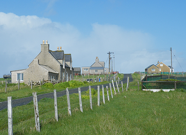
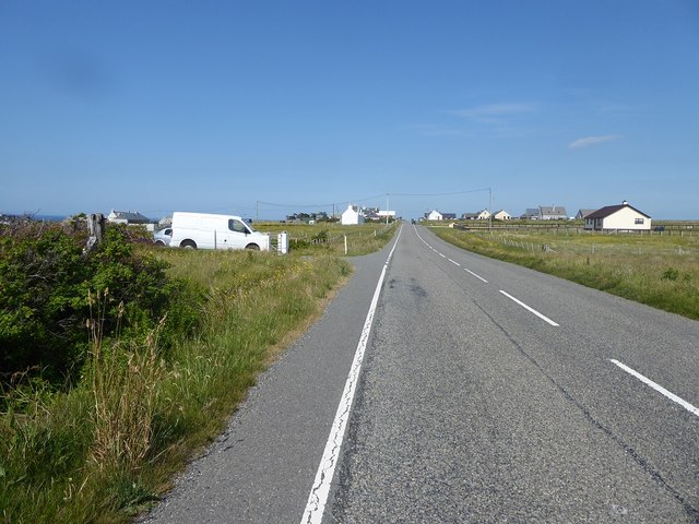
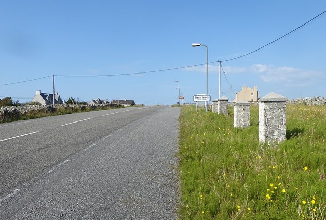
Ballagarr is a small village located in Ross-shire, a historic county in the Highlands region of Scotland. Situated amidst breathtaking landscapes, Ballagarr is surrounded by rolling hills, lush green fields, and picturesque views of the nearby Cromarty Firth. The village is part of the larger community of Rosskeen, which is known for its rich history and natural beauty.

With a population of around 500 residents, Ballagarr exudes a tranquil and close-knit atmosphere. It is primarily a residential area, with charming cottages dotting the landscape. The village has a strong sense of community, with residents actively participating in local events and initiatives.

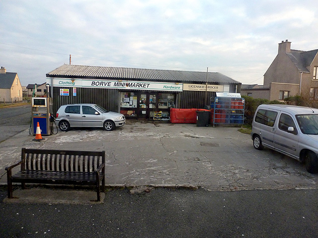
Despite its small size, Ballagarr offers a range of amenities to its residents. The village is home to a local pub, providing a cozy gathering spot for locals and visitors alike. Additionally, there is a small convenience store that caters to the daily needs of the community.

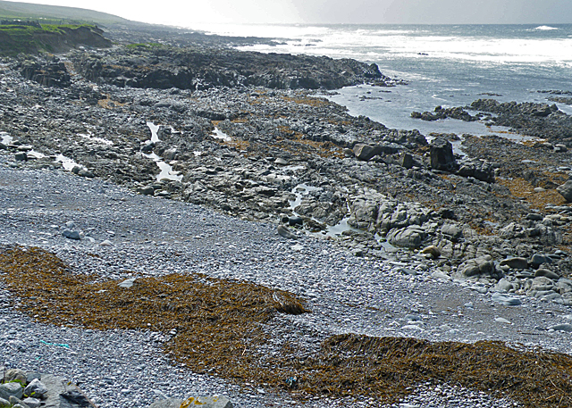
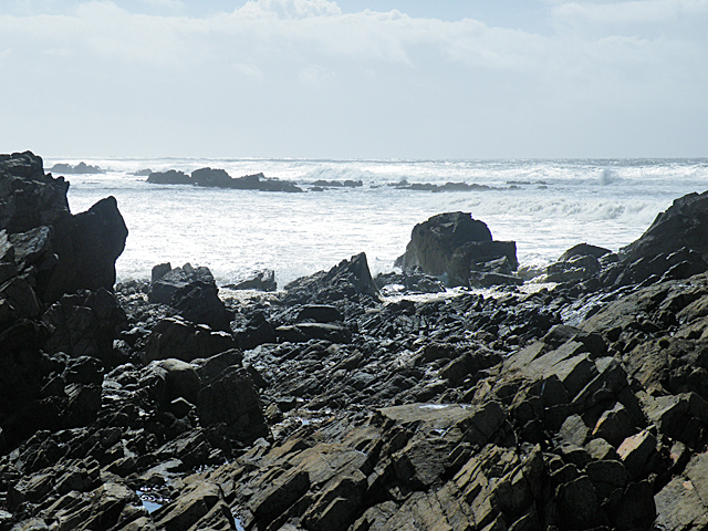
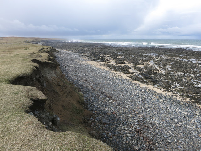
Nature enthusiasts will find plenty to explore in and around Ballagarr. The village is surrounded by beautiful countryside, offering ample opportunities for hiking, cycling, and birdwatching. The nearby Cromarty Firth is renowned for its diverse wildlife, including seals, dolphins, and various bird species.

While Ballagarr may be a peaceful and idyllic retreat, it is conveniently located near larger towns such as Inverness and Dingwall. This allows residents to access a wider range of amenities, including shopping centers, healthcare facilities, and educational institutions.

In summary, Ballagarr is a charming village in Ross-shire, Scotland, offering a close-knit community, stunning natural scenery, and a peaceful way of life.

If you have any feedback on the listing, please let us know in the comments section below.
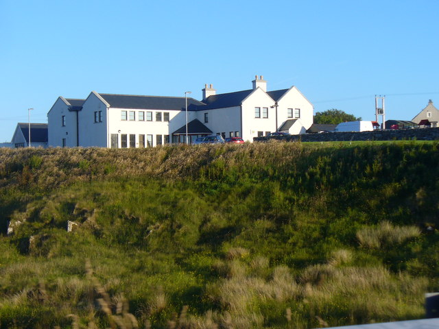
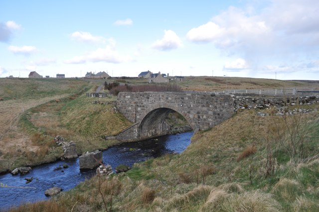
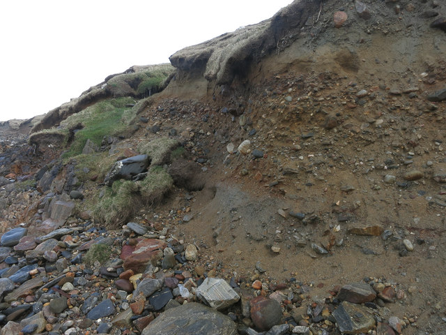
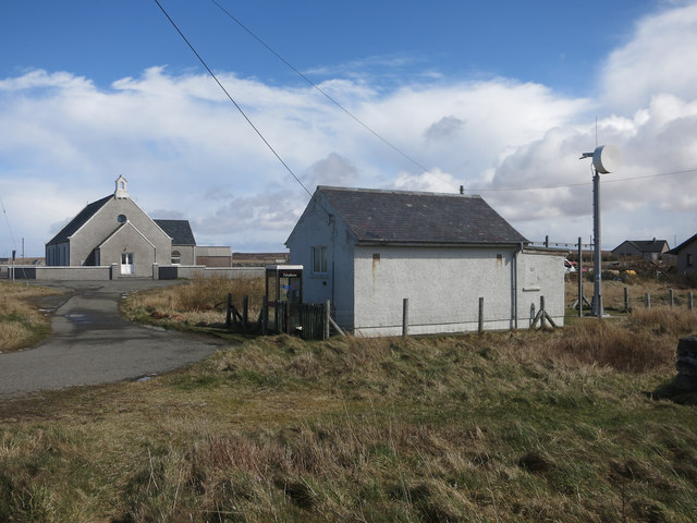
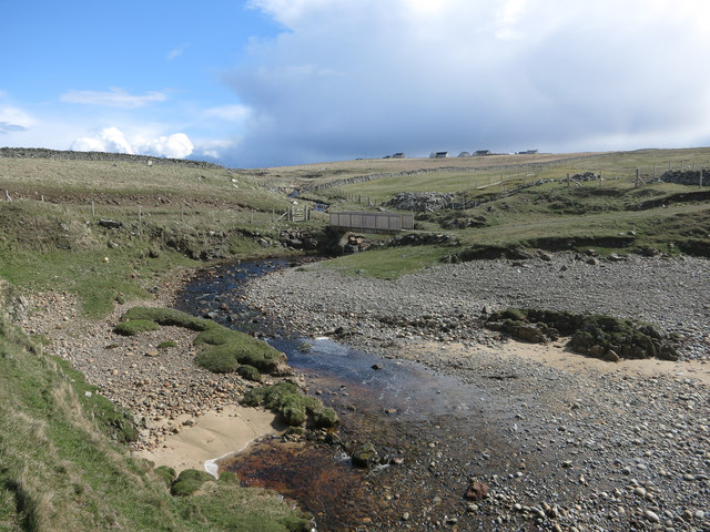
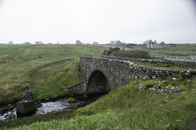
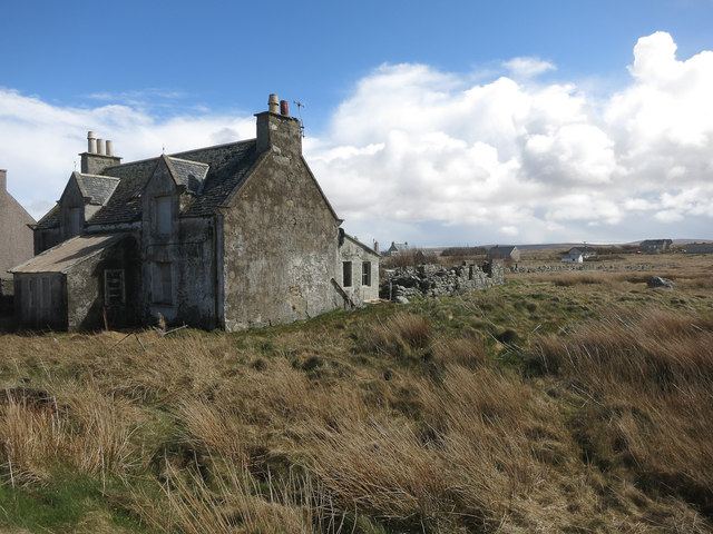
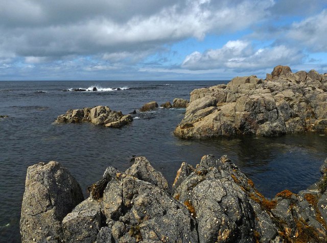
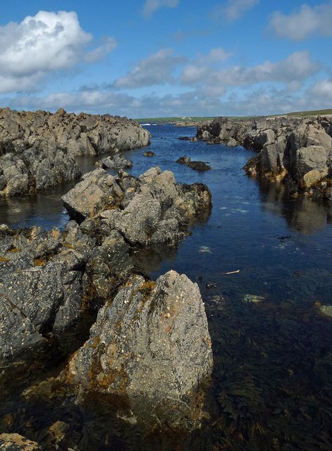
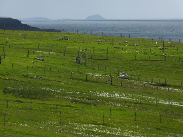
Ballagarr Images

Images are sourced within 2km of 58.411948/-6.4539852 or Grid Reference NB3955. Thanks to Geograph Open Source API. All images are credited.

Mealabost Beach The sea is rather less benign than when <a href="https://www.geograph.org.uk/photo/1345383">NB4057 : Mealabost Beach</a> was taken. Low tide has exposed the rocky zone below the pebble beach.
Mealabost Beach
The sea is rather less benign than when NB4057 : Mealabost Beach was taken. Low tide has exposed the rocky zone below the pebble beach.
Mealabost Bhuirgh Called Mealabost Buirgh (Mealabost of Borve) to distinguish it from other places named Mealasta, though even that is potentially confusing because there are at least two different places called N Buirgh (Borve).
Mealabost Bhuirgh
Called Mealabost Buirgh (Mealabost of Borve) to distinguish it from other places named Mealasta, though even that is potentially confusing because there are at least two different places called N Buirgh (Borve).
The Eyes Have It In fact, this isn't a boulder with eyes carved into it. This is what happens when a polystyrene (or something similar) float spends too long being buffeted by the waves. The surface has been abraded away, revealing the material of which the float consists.
The Eyes Have It
In fact, this isn't a boulder with eyes carved into it. This is what happens when a polystyrene (or something similar) float spends too long being buffeted by the waves. The surface has been abraded away, revealing the material of which the float consists.
Foreshore at Mealabost Bhuirgh Grey gneiss, blackened by organic matter, breaks the force of the waves at Mealabost.
Foreshore at Mealabost Bhuirgh
Grey gneiss, blackened by organic matter, breaks the force of the waves at Mealabost.
Borve Hotel Large Lewis hotel on a river terrace above the Abhainn Bhuirgh / Borve Water.
Borve Hotel
Large Lewis hotel on a river terrace above the Abhainn Bhuirgh / Borve Water.
Bridge at Borve This bridge carries the A857 over the Abhainn Bhuirgh. There are what looks like the remains of an earlier bridge next to it.
Bridge at Borve
This bridge carries the A857 over the Abhainn Bhuirgh. There are what looks like the remains of an earlier bridge next to it.
Borve Minimarket
Borve Minimarket
Cliff near Coig Peighinnean Bhuirgh A mix of unconsolidated deposits, not always a match for Atlantic storms.
Cliff near Coig Peighinnean Bhuirgh
A mix of unconsolidated deposits, not always a match for Atlantic storms.
Eroding cliff Interesting deposits revealed by the coastal erosion. Compare to <a href="https://www.geograph.org.uk/photo/71736">SW3530 : Climate history revealed!</a> from Cornwall. Here the raised beach and glacial deposits are the other way around. This is because the raised beach is a recent feature, raised by the isostatic rebound of the ground after the weight of the ice sheet was removed by the end of the last glacial period.
Eroding cliff
Interesting deposits revealed by the coastal erosion. Compare to SW3530 : Climate history revealed! from Cornwall. Here the raised beach and glacial deposits are the other way around. This is because the raised beach is a recent feature, raised by the isostatic rebound of the ground after the weight of the ice sheet was removed by the end of the last glacial period.
Borve Free Church
Borve Free Church
Allt Grunndal
Allt Grunndal
The old bridge at Borve
Empty house, Borve
Empty house, Borve
Cladach Lag na Greine, Isle of Lewis The entry for Cladach Lag na Greine in the OS Name Book of 1848-1852 reads, "A portion of shore between high and low water mark which is composed of shelving rock, boulders and shingle.  Signifies Shore of Sunny Hollow".
Cladach Lag na Greine, Isle of Lewis
The entry for Cladach Lag na Greine in the OS Name Book of 1848-1852 reads, "A portion of shore between high and low water mark which is composed of shelving rock, boulders and shingle. Signifies Shore of Sunny Hollow".
Cladach Lag na Greine, Isle of Lewis The entry for Cladach Lag na Greine in the OS Name Book of 1848-1852 reads, "A portion of shore between high and low water mark which is composed of shelving rock, boulders and shingle. Signifies Shore of Sunny Hollow".
Cladach Lag na Greine, Isle of Lewis
The entry for Cladach Lag na Greine in the OS Name Book of 1848-1852 reads, "A portion of shore between high and low water mark which is composed of shelving rock, boulders and shingle. Signifies Shore of Sunny Hollow".
Croftland, Cuivatotar, Isle of Lewis The OS Name Book of 1848-1852 describes this land as, "a low, arable hill, on the sea-shore, at the north end of Seadair Iochdrach. There are a good number of ruins upon it. It produces tolerably good crops, though full of small rocks".
Croftland, Cuivatotar, Isle of Lewis
The OS Name Book of 1848-1852 describes this land as, "a low, arable hill, on the sea-shore, at the north end of Seadair Iochdrach. There are a good number of ruins upon it. It produces tolerably good crops, though full of small rocks".
The A857 through Shader
Show me another place!

Ballagarr is located at Grid Ref: NB3955 (Lat: 58.411948, Lng: -6.4539852)

Unitary Authority: Na h-Eileanan an Iar

Police Authority: Highlands and Islands

Also known as: Baile Gearr

What 3 Words

///making.pythons.bounding. Near North Tolsta, Na h-Eileanan Siar

Related Wikis

Borve, Lewis

Borve (Scottish Gaelic: Borgh) is a village on the west side of the Isle of Lewis in Scotland, 17 miles (27 kilometres) from the island's only town, Stornoway...

Steinacleit

Steinacleit is a prehistoric archeological site on the west coast of Lewis in the Outer Hebrides of Scotland. The site consists of an array of boulders...

Baile an Truiseil

Ballantrushal (Scottish Gaelic: Baile an Truiseil) is a village on the Isle of Lewis in the West Side district, in the Outer Hebrides, Scotland. Ballantrushal...
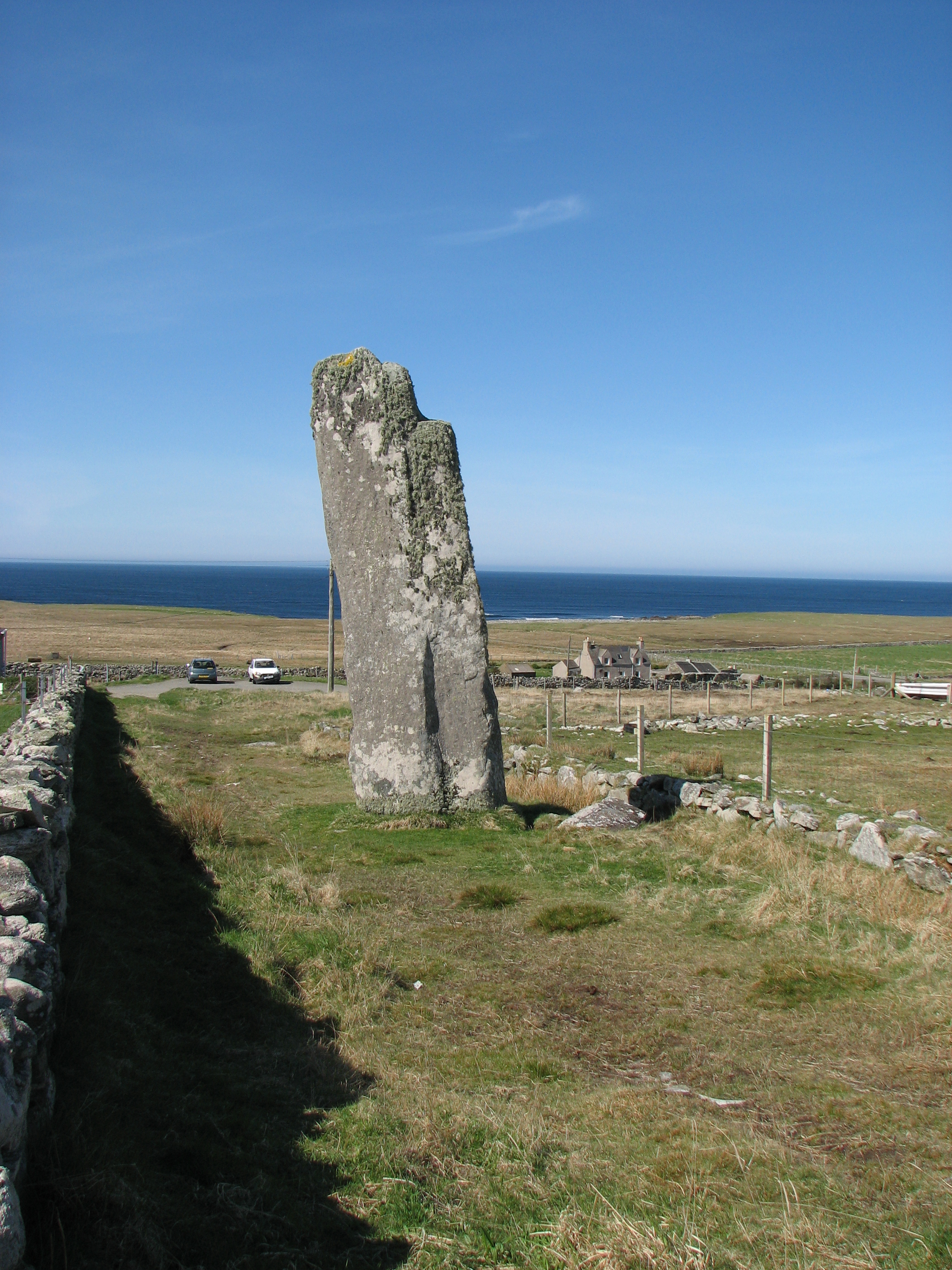
Clach an Trushal

Clach an Trushal (Scottish Gaelic: Clach an Truiseil, Scottish Gaelic pronunciation: [kʰl̪ˠax ən̪ˠ ˈt̪ʰɾuʃal], translated to English "Stone of Compassion...

Nearby Amenities

Located within 500m of 58.411948,-6.4539852
Baile Gearr
Name En: Ballagarr
Name Gd: Baile Gearr
Place: locality
Lat/Long: 58.412789/-6.4526305
Turning Circle
Lat/Long: 58.4115575/-6.4550154
Passing Place
Lat/Long: 58.4136533/-6.4513083
Passing Place
Lat/Long: 58.4125682/-6.4527288
Passing Place
Lat/Long: 58.4137836/-6.4495665
Passing Place
Lat/Long: 58.4138752/-6.4507823
Barrier: cattle_grid
Lat/Long: 58.4117912/-6.4554887
Power: pole
Lat/Long: 58.4081758/-6.4574772
Power: pole
Lat/Long: 58.4087434/-6.4562434
Power: pole
Lat/Long: 58.4092942/-6.4551061
Power: pole
Lat/Long: 58.4098015/-6.4540654
Power: pole
Lat/Long: 58.4103466/-6.4529121
Power: pole
Lat/Long: 58.4124386/-6.4526546
Power: pole
Lat/Long: 58.4119764/-6.4515066
Power: pole
Lat/Long: 58.4116125/-6.4506295
Power: pole
Lat/Long: 58.4112599/-6.4497846
Power: pole
Lat/Long: 58.4108805/-6.4517266
Power: pole
Lat/Long: 58.410889/-6.4503828
Power: pole
Lat/Long: 58.4109016/-6.4489478
Power: pole
Lat/Long: 58.4109157/-6.4481217
Power: pole
Lat/Long: 58.4109009/-6.4462294
Power: pole
Lat/Long: 58.4091406/-6.4526954
Power: pole
Lat/Long: 58.4094471/-6.4533026
Power: pole
Lat/Long: 58.4130628/-6.4460165
Power: pole
Lat/Long: 58.4127306/-6.4465843
Power: pole
Lat/Long: 58.4124409/-6.4459846
Power: pole
Lat/Long: 58.4122065/-6.4454487
Power: pole
Lat/Long: 58.4119055/-6.4557308
Power: pole
Lat/Long: 58.4119696/-6.454877
Power: pole
Lat/Long: 58.4119928/-6.453788
Power: pole
Lat/Long: 58.4121692/-6.4533923
Power: pole
Lat/Long: 58.4124837/-6.4527715
Power: pole
Lat/Long: 58.412826/-6.4523714
Power: pole
Lat/Long: 58.4131169/-6.4520355
Power: pole
Lat/Long: 58.4134226/-6.4516193
Power: pole
Lat/Long: 58.4137398/-6.4512505
The data included in this document is from www.openstreetmap.org. The data is made available under ODbL.

Have you been to Ballagarr?

Leave your review of Ballagarr below (or comments, questions and feedback).