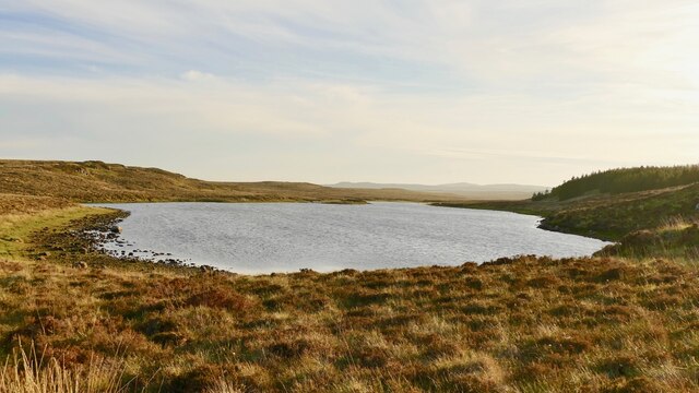
Loch Airigh nan Gleann
Lake, Pool, Pond, Freshwater Marsh in Ross-shire
Scotland
Loch Airigh nan Gleann
The requested URL returned error: 429 Too Many Requests
If you have any feedback on the listing, please let us know in the comments section below.
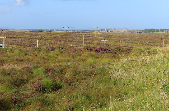
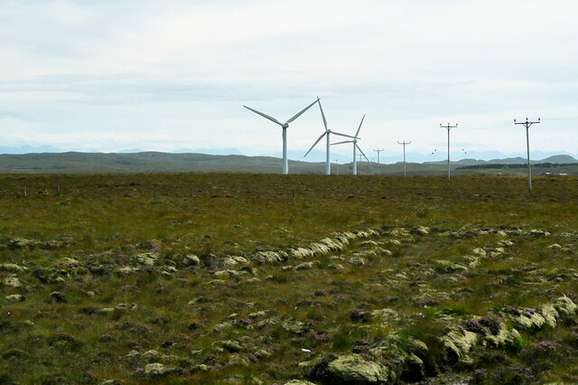
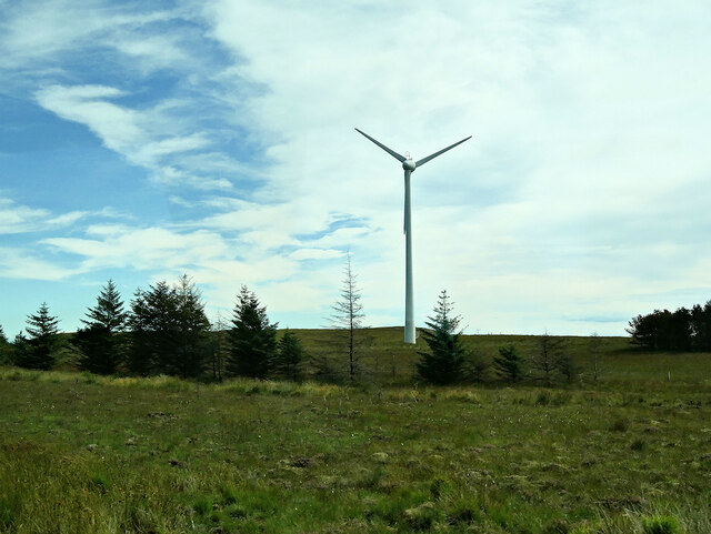
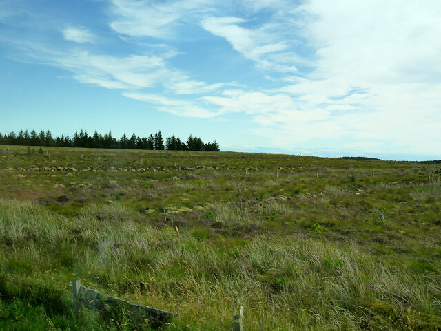
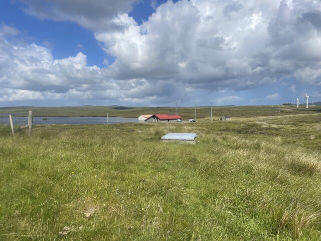
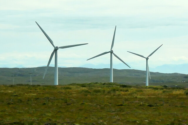
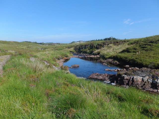
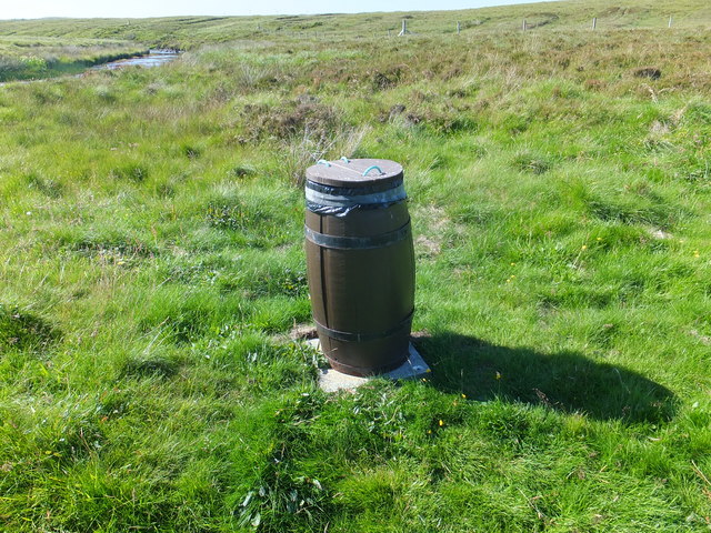
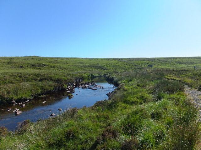
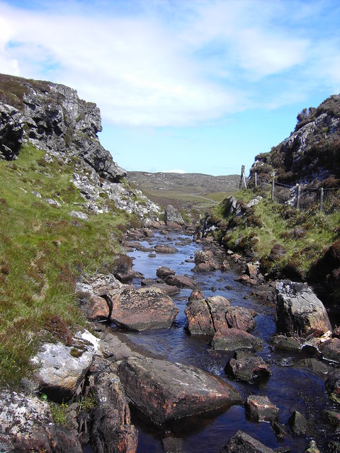
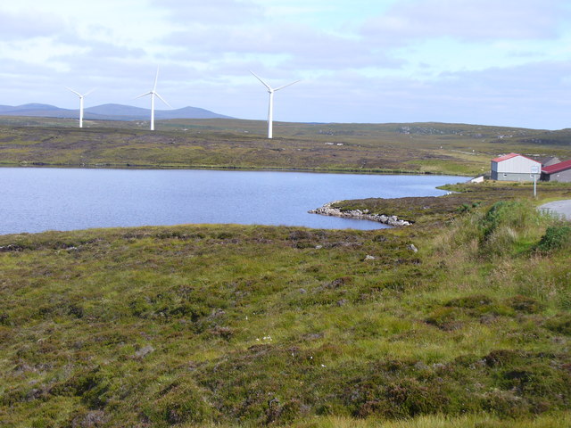
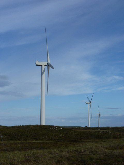
Loch Airigh nan Gleann Images
Images are sourced within 2km of 58.18682/-6.4294972 or Grid Reference NB3930. Thanks to Geograph Open Source API. All images are credited.


Loch Airigh nan Gleann is located at Grid Ref: NB3930 (Lat: 58.18682, Lng: -6.4294972)
Unitary Authority: Na h-Eileanan an Iar
Police Authority: Highlands and Islands
What 3 Words
///palm.gardens.majors. Near Stornoway, Na h-Eileanan Siar
Nearby Locations
Related Wikis

Rainish Eilean Mòr
Rainish Eilean Mòr is an uninhabited island in Loch Orasaigh, north of the village of Leurbost in the area of South Lochs on the Isle of Lewis, Lewis and...
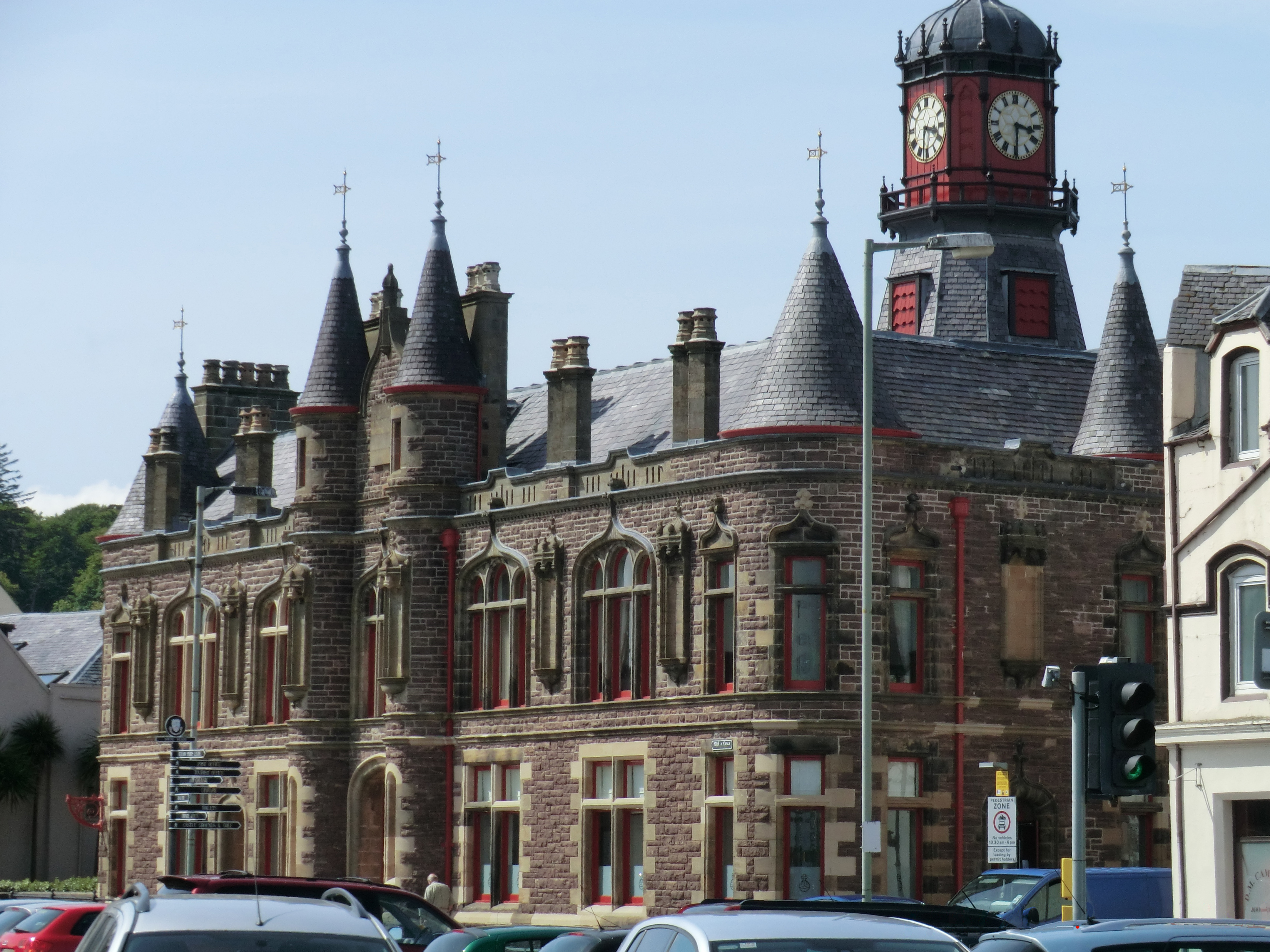
Stornoway Town Hall
Stornoway Town Hall is a former municipal building on South Beach in Stornoway, Isle of Lewis, Scotland. The town hall, which was the headquarters of Stornoway...
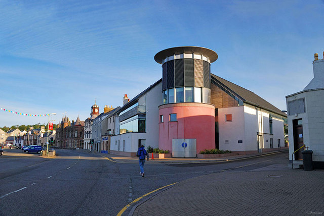
An Lanntair
An Lanntair (Scottish Gaelic: [əˈl̪ˠãũn̪ˠt̪ɛɾʲ]) is an arts centre in the town of Stornoway in the Outer Hebrides of Scotland. The centre is home to a...

Hebridean Celtic Festival
The Hebridean Celtic Festival (Scottish Gaelic: Fèis Cheilteach Innse Gall) or HebCelt is an international Scottish music festival, which takes place annually...
Nearby Amenities
Located within 500m of 58.18682,-6.4294972Have you been to Loch Airigh nan Gleann?
Leave your review of Loch Airigh nan Gleann below (or comments, questions and feedback).