Loch a' Bhroduinn

Lake, Pool, Pond, Freshwater Marsh in Ross-shire

Scotland

Loch a' Bhroduinn

Uisinis Marilyn Summit Cairn Bagged after boat drop off at Mol Truisg by Sea Harris with Martin Richardson, Tony Smith, Bob Taylor and Richard Tibbetts on a dry day with tops in mist.
Name: Uisinis
Hill number: 1572
Height: 374m / 1227ft
Area: 24A: Lewis and Nearby Islands
Class: Ma,3
Grid ref: NB 33748 05613
Summit feature: cairn
Drop: 229m
Col: 145m  NB321077
Uisinis Marilyn Summit Cairn Credit: Rude Health

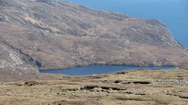
Loch a' Bhroduinn is a picturesque freshwater loch located in Ross-shire, Scotland. Nestled amidst the stunning Scottish Highlands, this natural water body offers a tranquil and serene environment for visitors and locals alike to admire its beauty.

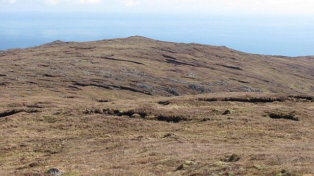
With a surface area of approximately 10 hectares, Loch a' Bhroduinn is relatively small compared to some of the other lochs in the region. However, its charm lies in its idyllic setting, surrounded by rolling hills and dense forests. The loch is fed by several small streams and springs, ensuring a constant flow of freshwater.

The water in Loch a' Bhroduinn is crystal clear, allowing for excellent visibility of the underwater flora and fauna. The loch is home to a diverse range of aquatic plants, including water lilies, reeds, and various types of algae. These plants provide a rich habitat for numerous species of fish, such as brown trout and perch, making it a popular spot for fishing enthusiasts.

The surrounding area of Loch a' Bhroduinn is also home to a variety of bird species, including ducks, swans, and herons. Birdwatchers can often be seen along the shores, observing and documenting the different species that frequent the area.

Visitors can enjoy a peaceful stroll along the loch's shoreline, taking in the breathtaking views and immersing themselves in the tranquility of the Scottish countryside. Loch a' Bhroduinn truly offers a serene escape from the bustling urban life, making it a must-visit destination for nature lovers and those seeking solace in the beauty of the Highlands.

If you have any feedback on the listing, please let us know in the comments section below.

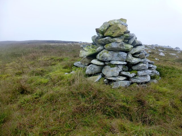
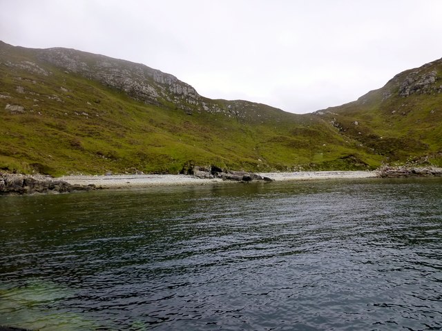
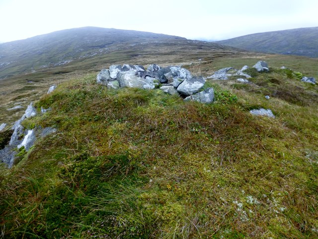
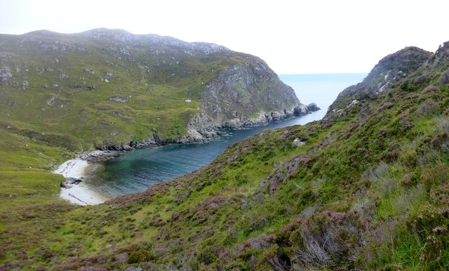
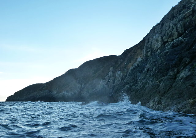
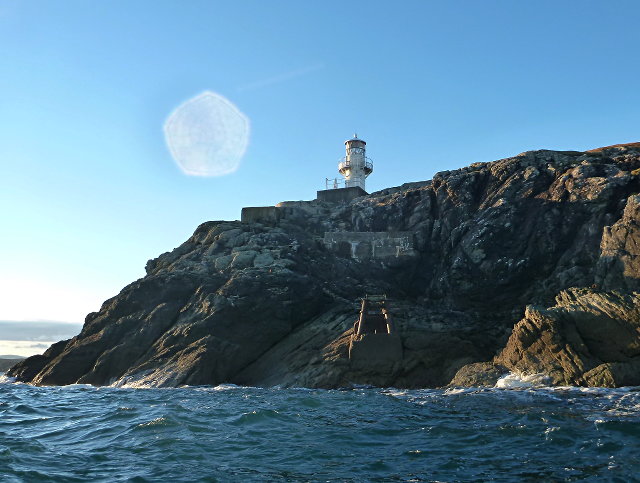
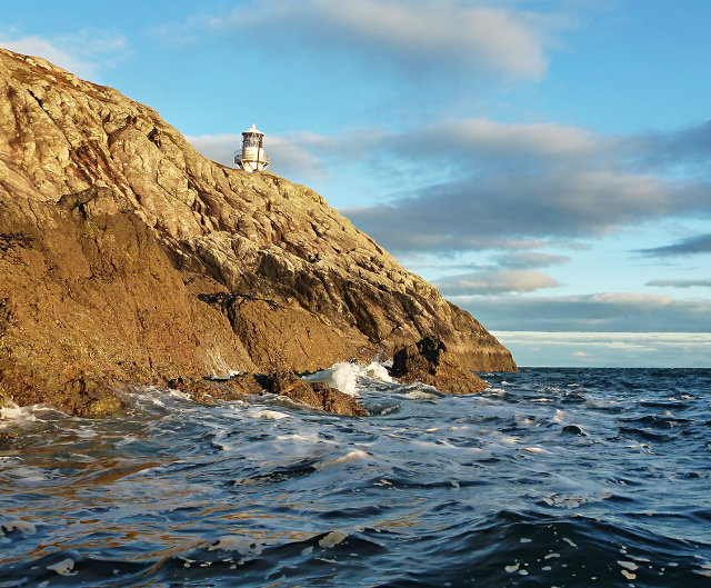
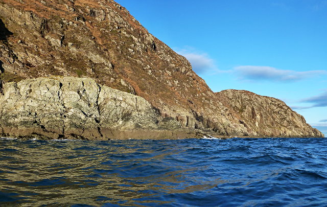
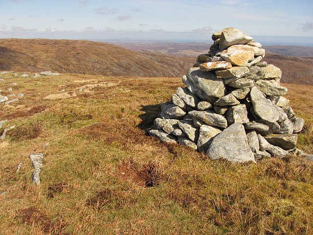
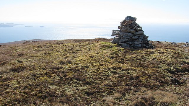
Loch a' Bhroduinn Images

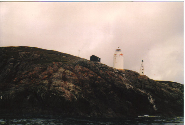
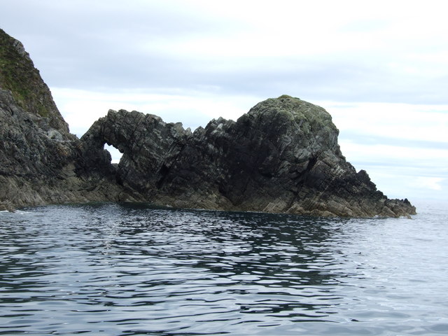
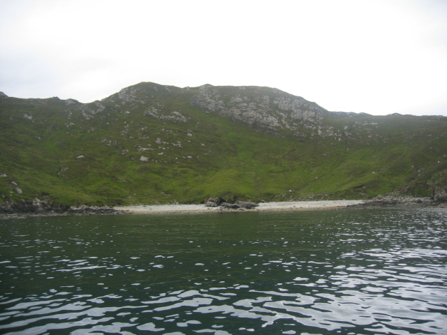
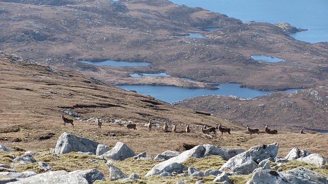
Images are sourced within 2km of 57.953857/-6.4729242 or Grid Reference NB3504. Thanks to Geograph Open Source API. All images are credited.

Uisinis Marilyn Summit Cairn Bagged after boat drop off at Mol Truisg by Sea Harris with Martin Richardson, Tony Smith, Bob Taylor and Richard Tibbetts on a dry day with tops in mist.
Name: Uisinis
Hill number: 1572
Height: 374m / 1227ft
Area: 24A: Lewis and Nearby Islands
Class: Ma,3
Grid ref: NB 33748 05613
Summit feature: cairn
Drop: 229m
Col: 145m  NB321077
Uisinis Marilyn Summit Cairn
Bagged after boat drop off at Mol Truisg by Sea Harris with Martin Richardson, Tony Smith, Bob Taylor and Richard Tibbetts on a dry day with tops in mist. Name: Uisinis Hill number: 1572 Height: 374m / 1227ft Area: 24A: Lewis and Nearby Islands Class: Ma,3 Grid ref: NB 33748 05613 Summit feature: cairn Drop: 229m Col: 145m NB321077
Mol Truisg Sea Harris dropped seven walkers off at Mol Truisg so that we could walk through The Pairc over Uisinis and Gormol to finish at Eishken.
Mol Truisg
Sea Harris dropped seven walkers off at Mol Truisg so that we could walk through The Pairc over Uisinis and Gormol to finish at Eishken.
Sròn a' Chais Sròn a' Chais looking towards the Marilyn summit of Uisinis.
Sròn a' Chais
Sròn a' Chais looking towards the Marilyn summit of Uisinis.
Looking Down To Mol Truisg Looking back and down to Mol Truisg where we were dropped off by Sea Harris.
Looking Down To Mol Truisg
Looking back and down to Mol Truisg where we were dropped off by Sea Harris.
East Parc coast Rocky cliffs descend straight into the sea.
East Parc coast
Rocky cliffs descend straight into the sea.
Uisinis Light An important light - together with the Shiants marker buoy, it delimits a turn in the southbound traffic lane through the Minch.

Below the light can be seen some sort of mooring or landing structure from the days when the light was supplied by boat.
Uisinis Light
An important light - together with the Shiants marker buoy, it delimits a turn in the southbound traffic lane through the Minch. Below the light can be seen some sort of mooring or landing structure from the days when the light was supplied by boat.
The southern tip of Rubha Uisinis Rocks meet the sea just below Uisinis lighthouse.
The southern tip of Rubha Uisinis
Rocks meet the sea just below Uisinis lighthouse.
Sgonnan coastline The rough, rocky coastline has few natural weaknesses.
Sgonnan coastline
The rough, rocky coastline has few natural weaknesses.
Rubh  Uisenis Light One of the minor lights on the East coast of Lewis.
Rubh Uisenis Light
One of the minor lights on the East coast of Lewis.
Natural Arch, Mol Truisg. This is a natural Arch on Eilean Glas Mol Truisg, which is in the Park district of Lewis.
Natural Arch, Mol Truisg.
This is a natural Arch on Eilean Glas Mol Truisg, which is in the Park district of Lewis.
Mol Truisg Literal translation is "the beach of the cod" and the stony Mol (beach) can be seen at the head of this bay.
Mol Truisg
Literal translation is "the beach of the cod" and the stony Mol (beach) can be seen at the head of this bay.
Deer, Uisinis Deer on the slopes near the 374m summit of the hill on Uisinis.  The name of the hill is vague, as the -nis ending suggests a peninsula and probably refers to the whole southeast bit of Pairc.
Deer, Uisinis
Deer on the slopes near the 374m summit of the hill on Uisinis. The name of the hill is vague, as the -nis ending suggests a peninsula and probably refers to the whole southeast bit of Pairc.
Summit cairn, Uisinis Cairn on the 374m summit of one of Scotlands more far flung summits (unless you have a boat).  Uisinis, hill or peninsula? The ~nis ending suggests a peninsula, and the Ordnance Survey's positioning of the name could apply to either or both.
Summit cairn, Uisinis
Cairn on the 374m summit of one of Scotlands more far flung summits (unless you have a boat). Uisinis, hill or peninsula? The ~nis ending suggests a peninsula, and the Ordnance Survey's positioning of the name could apply to either or both.
Summit, Uisinis View past the cairn towards the Shiants.
Summit, Uisinis
View past the cairn towards the Shiants.
Loch Doimhne Loch on the east side of Pairc. View from Uisinis.
Loch Doimhne
Loch on the east side of Pairc. View from Uisinis.
Sròn a' Chais Ridge running out from Uisinis towards the steep spur of Sròn a' Chais.
Sròn a' Chais
Ridge running out from Uisinis towards the steep spur of Sròn a' Chais.
Show me another place!

Loch a' Bhroduinn is located at Grid Ref: NB3504 (Lat: 57.953857, Lng: -6.4729242)

Unitary Authority: Na h-Eileanan an Iar

Police Authority: Highlands and Islands

What 3 Words

///after.daredevil.rural. Near Tarbert, Na h-Eileanan Siar

Related Wikis

Eilean Liubhaird

Eilean Liubhaird or Eilean Iubhard is an island in the Outer Hebrides, to the east of Lewis. == Geography and geology == The rock is "gneiss bedrock with...

Orinsay

Orinsay (Scottish Gaelic: Orasaigh) is a crofting village on the Isle of Lewis in the district of Pairc, in the Outer Hebrides, Scotland. The settlement...

Stiomrabhaig

Stiomrabhaig is an abandoned crofter's village on the Isle of Lewis in the Outer Hebrides. == History == The United Kingdom Census 1851 shows that the...

Park, Lewis

Park (Scottish Gaelic: A' Phàirc), also known as South Lochs, is a huge area of land connected to the rest of Lewis only by a narrow neck between Loch...

Have you been to Loch a' Bhroduinn?

Leave your review of Loch a' Bhroduinn below (or comments, questions and feedback).