Loch na Beiste

Lake, Pool, Pond, Freshwater Marsh in Inverness-shire

Scotland

Loch na Beiste

Nameless Lochan That is to say, the map doesn't name it.
Nameless Lochan Credit: Anne Burgess

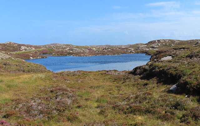
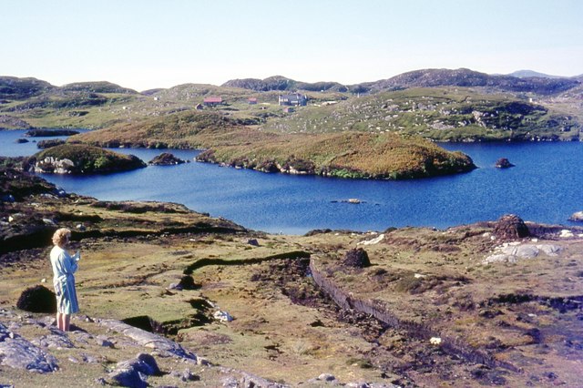
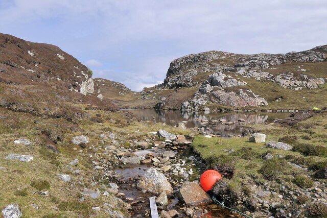
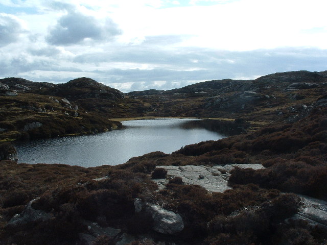
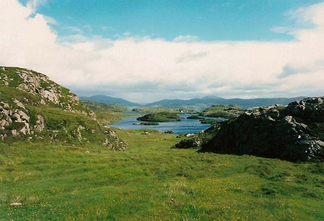
Loch na Beiste, located in Inverness-shire, Scotland, is a stunning freshwater loch encompassing an area of approximately 3 acres. Nestled amidst the picturesque Scottish Highlands, this serene body of water is renowned for its natural beauty and captivating surroundings.

The Loch na Beiste, often referred to as "The Beast Loch," derives its name from local folklore, which tells the tale of a mythical creature said to inhabit its depths. This legend only adds to the mystical allure of the loch, captivating the imaginations of visitors and locals alike.

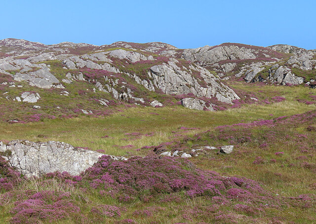
Surrounded by lush greenery, the loch is home to a diverse ecosystem. Its crystal-clear waters are fed by small streams and natural springs, ensuring a constant flow of fresh water. This creates an ideal habitat for a wide range of aquatic life, including various species of fish, amphibians, and invertebrates.

The tranquil ambiance of Loch na Beiste makes it a popular destination for nature enthusiasts and outdoor adventurers. Its calm waters offer opportunities for recreational activities such as fishing, boating, and kayaking. Additionally, the surrounding area boasts scenic hiking trails, providing visitors with breathtaking views of the loch and its surrounding landscape.

The natural beauty and peacefulness of Loch na Beiste make it an idyllic spot for picnics and relaxation. Visitors can immerse themselves in the tranquility of the loch, taking in the sights and sounds of nature while enjoying a leisurely afternoon by its shores.

In summary, Loch na Beiste is a captivating freshwater loch in Inverness-shire, Scotland, known for its natural beauty, diverse ecosystem, and mythical folklore. Its serene ambiance and picturesque surroundings make it a must-visit destination for those seeking solace in nature.

If you have any feedback on the listing, please let us know in the comments section below.

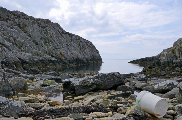
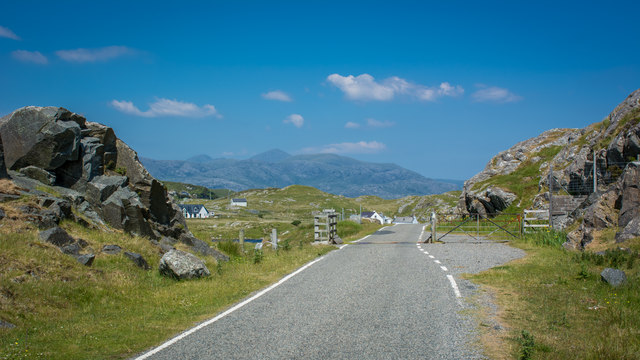
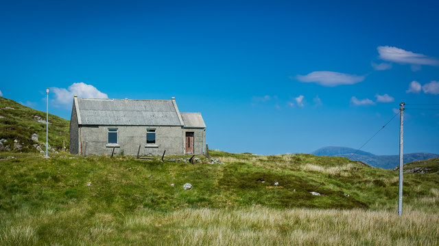
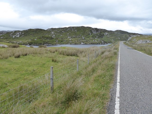
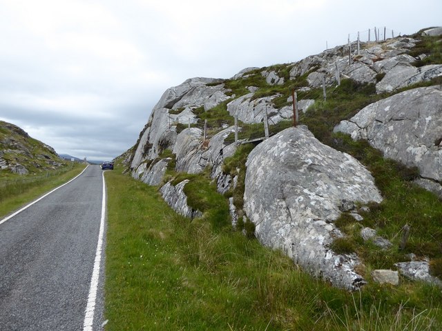
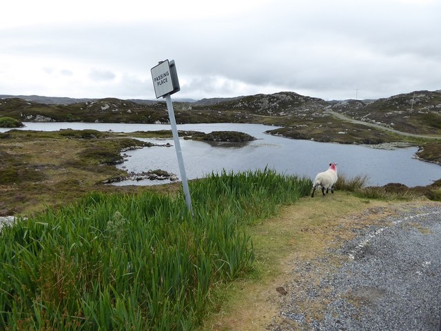
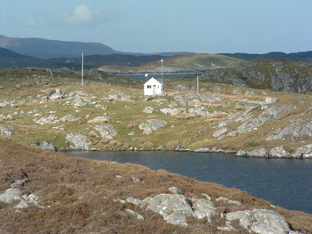
Loch na Beiste Images

Images are sourced within 2km of 57.833174/-6.7472112 or Grid Reference NG1892. Thanks to Geograph Open Source API. All images are credited.

Nameless Lochan That is to say, the map doesn't name it.
Nameless Lochan
That is to say, the map doesn't name it.
Loch Phlocrapoil This is one of the larger lochs on the route of the Golden Road.
Loch Phlocrapoil
This is one of the larger lochs on the route of the Golden Road.
Lewisian Gneiss This is classic Lewisian Gneiss, in irregular outcrops smoothed by the glaciers of the last (and no doubt previous) Ice Ages.
Lewisian Gneiss
This is classic Lewisian Gneiss, in irregular outcrops smoothed by the glaciers of the last (and no doubt previous) Ice Ages.
Islands and skerries off Drinishader Not quite a painted ship on a painted ocean, but close;  there is a fishing boat dead-centre in this image.
Islands and skerries off Drinishader
Not quite a painted ship on a painted ocean, but close; there is a fishing boat dead-centre in this image.
Loch Plocrapol at Scadabay
Mol Bhi, Harris Mol Bhi (or Mol Vee) is an inlet on Loch Ghreosabhagh.
Mol Bhi, Harris
Mol Bhi (or Mol Vee) is an inlet on Loch Ghreosabhagh.
Cattle grid on the Golden Road
Abandoned Kirk at Scadabay
Minor road approaching Plocrapool
Ice-sculpted rock next to minor road at Scadabay
Passing place on minor road between Scadabay and Greosabhagh
Outflow from Loch Chumain, Harris The buoy is from a boat called Spindrift, possibly SY128, a Stornoway registered potter (boat used to catch shellfish).
Outflow from Loch Chumain, Harris
The buoy is from a boat called Spindrift, possibly SY128, a Stornoway registered potter (boat used to catch shellfish).
Drinnishader Telephone Exchange A bit of loch Procrapool/Plochrapoil the microwave fed exchange, and Scalpay in the distance
Drinnishader Telephone Exchange
A bit of loch Procrapool/Plochrapoil the microwave fed exchange, and Scalpay in the distance
I'm getting a signal on my mobile! This may look like a picture of a lochan, but more important - middle centre is the radio mast that means I can phone home. This type of small lochan is a frequent feature in these parts, the mobile signal isn't.
I'm getting a signal on my mobile!
This may look like a picture of a lochan, but more important - middle centre is the radio mast that means I can phone home. This type of small lochan is a frequent feature in these parts, the mobile signal isn't.
Washing at Scadabhagh Taking advantage of a good drying day.
Washing at Scadabhagh
Taking advantage of a good drying day.
Old building at Scadabhagh A drystone construction of partly dressed gneiss using a small cliff for support. I would think agricultural rather than residential, and probably relatively recent.
Old building at Scadabhagh
A drystone construction of partly dressed gneiss using a small cliff for support. I would think agricultural rather than residential, and probably relatively recent.
Southern end of Loch Plocrapool
Plocrapol, Harris Tweed weaving
Show me another place!

Loch na Beiste is located at Grid Ref: NG1892 (Lat: 57.833174, Lng: -6.7472112)

Unitary Authority: Na h-Eileanan an Iar

Police Authority: Highlands and Islands

What 3 Words

///wool.loafing.avoid. Near Tarbert, Na h-Eileanan Siar

Related Wikis

East Loch Tarbert

East Loch Tarbert (Scottish Gaelic: Loch an Tairbeairt) is a sea loch that lies to the east of Harris in the Outer Hebrides of Scotland. The loch contains...

Sgeotasaigh

Scotasay (Scottish Gaelic: Sgeotasaigh) is small island in the Outer Hebrides of Scotland. It lies 1 kilometre (0.6 miles) off the east coast of Harris...

Stockinish Island

Stockinish Island (Scottish Gaelic: Eilean Stocainis) is an uninhabited island off Harris, in the Outer Hebrides. == Geography and geology == Stockinish...

Scalpay, Outer Hebrides

Scalpay (; Scottish Gaelic: Sgalpaigh or Sgalpaigh na Hearadh; i.e. "Scalpay of Harris" to distinguish it from Scalpay off Skye) is an island in the Outer...

Nearby Amenities

Located within 500m of 57.833174,-6.7472112
Created By: dmgroom_coastlines
Lat/Long: 57.83183/-6.73978
The data included in this document is from www.openstreetmap.org. The data is made available under ODbL.

Have you been to Loch na Beiste?

Leave your review of Loch na Beiste below (or comments, questions and feedback).