Camas a' Bhualt

Bay in Inverness-shire

Scotland

Camas a' Bhualt

Loch Phlocrapoil This is one of the larger lochs on the route of the Golden Road.
Loch Phlocrapoil Credit: Anne Burgess

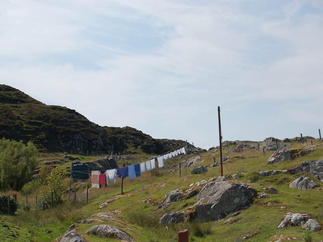
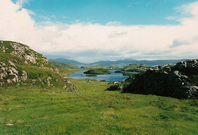
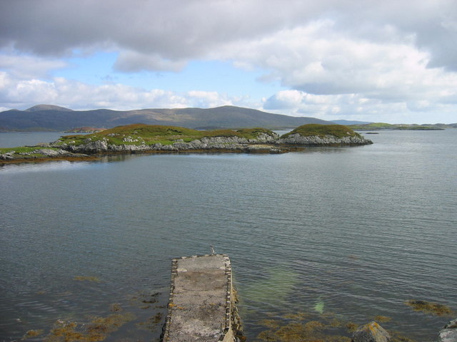
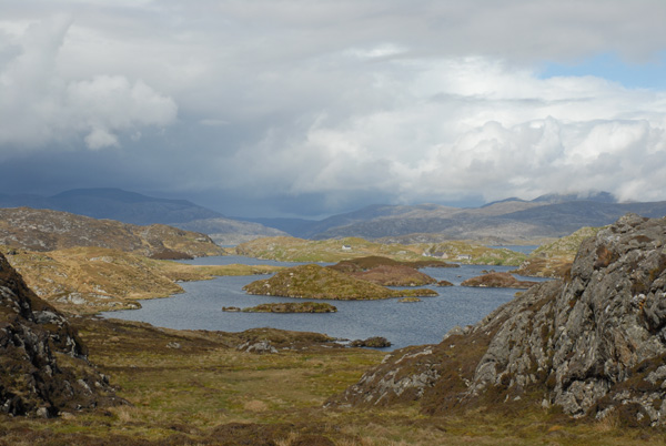
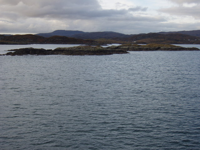
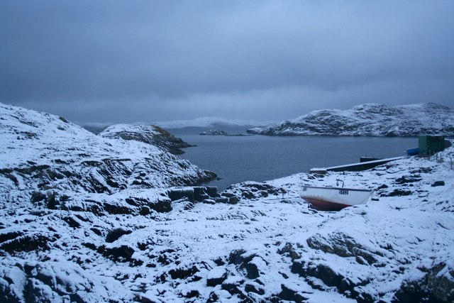
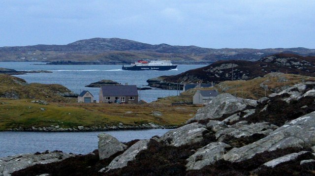
Camas a' Bhualt, also known as Bay of the Cattle, is a stunning coastal area located in Inverness-shire, Scotland. Situated on the west coast of the Ardnamurchan Peninsula, this bay offers breathtaking views of the surrounding landscape and is a popular destination for nature enthusiasts and outdoor adventurers.

The bay is characterized by its pristine sandy beach, which stretches for approximately one mile and is backed by rolling grassy dunes. The turquoise waters of the bay are crystal clear, making it an ideal spot for swimming, kayaking, and other water-based activities. The beach is also a great place for picnicking or simply enjoying a leisurely stroll while taking in the picturesque scenery.

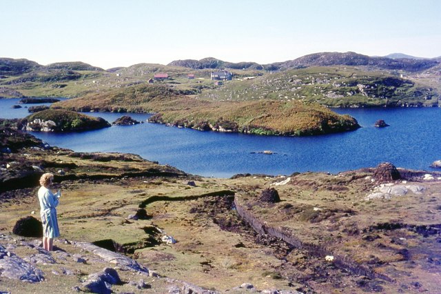
Camas a' Bhualt is known for its rich wildlife and diverse ecosystem. Birdwatchers flock to the bay to spot a variety of seabirds, including guillemots, razorbills, and terns. The bay is also home to various marine creatures, such as seals and dolphins, which can sometimes be seen swimming near the shoreline.

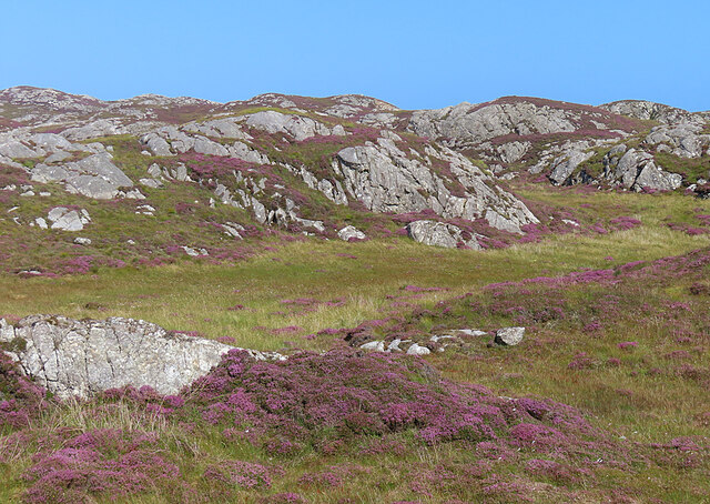
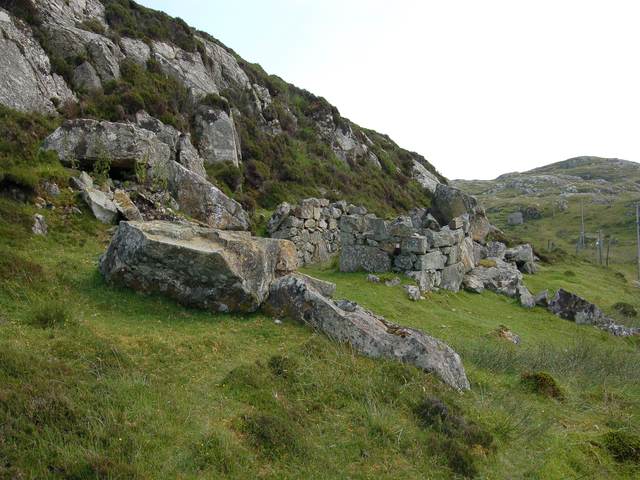
Surrounded by rugged cliffs and lush green hills, Camas a' Bhualt offers plenty of opportunities for hiking and exploring. There are several walking trails in the area that lead through heather-covered moorlands and ancient woodlands, providing visitors with a chance to immerse themselves in nature and discover the region's fascinating history and folklore.

Overall, Camas a' Bhualt is a hidden gem in Inverness-shire, offering a tranquil and picturesque setting for those seeking a peaceful retreat or an adventure-filled getaway.

If you have any feedback on the listing, please let us know in the comments section below.

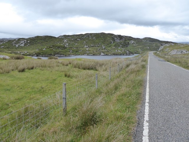
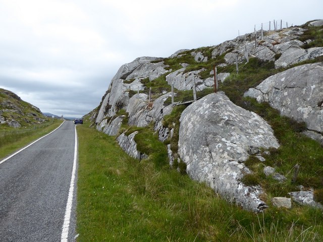
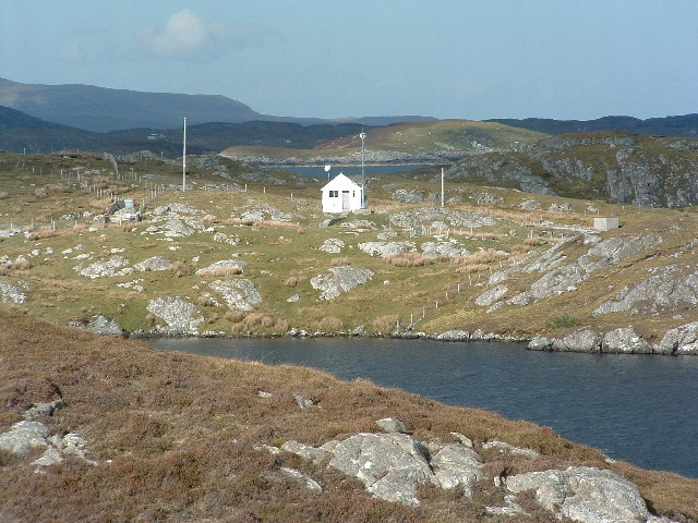
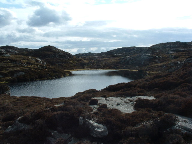
Camas a' Bhualt Images

Images are sourced within 2km of 57.831108/-6.7396878 or Grid Reference NG1892. Thanks to Geograph Open Source API. All images are credited.

Loch Phlocrapoil This is one of the larger lochs on the route of the Golden Road.
Loch Phlocrapoil
This is one of the larger lochs on the route of the Golden Road.
Lewisian Gneiss This is classic Lewisian Gneiss, in irregular outcrops smoothed by the glaciers of the last (and no doubt previous) Ice Ages.
Lewisian Gneiss
This is classic Lewisian Gneiss, in irregular outcrops smoothed by the glaciers of the last (and no doubt previous) Ice Ages.
Loch Plocrapol at Scadabay
Cattle grid on the Golden Road
Abandoned Kirk at Scadabay
Minor road approaching Plocrapool
Ice-sculpted rock next to minor road at Scadabay
Drinnishader Telephone Exchange A bit of loch Procrapool/Plochrapoil the microwave fed exchange, and Scalpay in the distance
Drinnishader Telephone Exchange
A bit of loch Procrapool/Plochrapoil the microwave fed exchange, and Scalpay in the distance
I'm getting a signal on my mobile! This may look like a picture of a lochan, but more important - middle centre is the radio mast that means I can phone home. This type of small lochan is a frequent feature in these parts, the mobile signal isn't.
I'm getting a signal on my mobile!
This may look like a picture of a lochan, but more important - middle centre is the radio mast that means I can phone home. This type of small lochan is a frequent feature in these parts, the mobile signal isn't.
Washing at Scadabhagh Taking advantage of a good drying day.
Washing at Scadabhagh
Taking advantage of a good drying day.
Old building at Scadabhagh A drystone construction of partly dressed gneiss using a small cliff for support. I would think agricultural rather than residential, and probably relatively recent.
Old building at Scadabhagh
A drystone construction of partly dressed gneiss using a small cliff for support. I would think agricultural rather than residential, and probably relatively recent.
Southern end of Loch Plocrapool
Plocrapol, Harris Tweed weaving
Plocrapol Bay
Plocrapol Bay
Loch Procrapoil from the South Mid afternoon shot in Mid May. Clear identification of the small islands in the foreground.
Loch Procrapoil from the South
Mid afternoon shot in Mid May. Clear identification of the small islands in the foreground.
Sgeir an Leum Mhòir A host of skerries are off the coast of Harris.
Sgeir an Leum Mhòir
A host of skerries are off the coast of Harris.
Snow at Plocrapol Snow very rarely settles in Harris, due to the warm Atlantic. This view of Plocrapol Bay is therefore most unusual.
Snow at Plocrapol
Snow very rarely settles in Harris, due to the warm Atlantic. This view of Plocrapol Bay is therefore most unusual.
Loch Plocropol, Plocropol, & Plocropol Bay Calmac ferry "Clansman" heading down East Loch Tarbert to Uig (Skye).
Loch Plocropol, Plocropol, & Plocropol Bay
Calmac ferry "Clansman" heading down East Loch Tarbert to Uig (Skye).
Show me another place!

Camas a' Bhualt is located at Grid Ref: NG1892 (Lat: 57.831108, Lng: -6.7396878)

Unitary Authority: Na h-Eileanan an Iar

Police Authority: Highlands and Islands

What 3 Words

///district.occupations.easygoing. Near Tarbert, Na h-Eileanan Siar

Related Wikis

East Loch Tarbert

East Loch Tarbert (Scottish Gaelic: Loch an Tairbeairt) is a sea loch that lies to the east of Harris in the Outer Hebrides of Scotland. The loch contains...

Sgeotasaigh

Scotasay (Scottish Gaelic: Sgeotasaigh) is small island in the Outer Hebrides of Scotland. It lies 1 kilometre (0.6 miles) off the east coast of Harris...

Scalpay, Outer Hebrides

Scalpay (; Scottish Gaelic: Sgalpaigh or Sgalpaigh na Hearadh; i.e. "Scalpay of Harris" to distinguish it from Scalpay off Skye) is an island in the Outer...

Stockinish Island

Stockinish Island (Scottish Gaelic: Eilean Stocainis) is an uninhabited island off Harris, in the Outer Hebrides. == Geography and geology == Stockinish...

Nearby Amenities

Located within 500m of 57.831108,-6.7396878
Created By: dmgroom_coastlines
Lat/Long: 57.83183/-6.73978
The data included in this document is from www.openstreetmap.org. The data is made available under ODbL.

Have you been to Camas a' Bhualt?

Leave your review of Camas a' Bhualt below (or comments, questions and feedback).