Loch Domhain a' Deas

Lake, Pool, Pond, Freshwater Marsh in Ross-shire

Scotland

Loch Domhain a' Deas

Postbox at Crulivig HS2 91. Royal Mail list this box as 'Crulivig'.
Postbox at Crulivig Credit: David Bremner

Loch Domhain a' Deas is a picturesque freshwater body located in Ross-shire, Scotland. Nestled amidst the stunning Scottish Highlands, this natural wonder is often referred to as a lake, pool, pond, or freshwater marsh due to its diverse features and characteristics.

Spanning approximately 10 acres, Loch Domhain a' Deas is a relatively small yet captivating water body. Surrounded by lush greenery and rolling hills, it offers a tranquil and serene ambiance that attracts both locals and tourists alike.

The lake's crystal-clear water reflects the surrounding landscape, creating a breathtaking sight. Its depth varies, with some areas being quite shallow, allowing for the growth of aquatic plants and creating a vibrant freshwater marsh ecosystem. The presence of these plants also provides a habitat for various species of fish, insects, and birds.

The area surrounding Loch Domhain a' Deas is rich in wildlife, making it a popular spot for nature enthusiasts and birdwatchers. Visitors can often spot a variety of bird species, including waterfowl, wading birds, and birds of prey.

The lake also serves as a recreational area, attracting fishing enthusiasts who come to try their luck at catching brown trout, perch, and pike. Additionally, the tranquil atmosphere and scenic beauty make it an ideal location for boating, kayaking, and picnicking.

Overall, Loch Domhain a' Deas is a hidden gem in Ross-shire, offering a peaceful retreat for those seeking natural beauty, wildlife sightings, and outdoor activities amidst the stunning Scottish landscape.

If you have any feedback on the listing, please let us know in the comments section below.

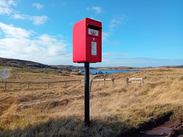
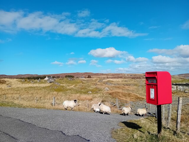
Loch Domhain a' Deas Images

Images are sourced within 2km of 58.190086/-6.8154124 or Grid Reference NB1732. Thanks to Geograph Open Source API. All images are credited.

Postbox at Crulivig HS2 91. Royal Mail list this box as 'Crulivig'.
Postbox at Crulivig
HS2 91. Royal Mail list this box as 'Crulivig'.
Postbox on Great Bernera HS2 88. Royal Mail list this box as 'Shore'.
Postbox on Great Bernera
HS2 88. Royal Mail list this box as 'Shore'.
Great Bernera bridges The new bridge under construction and the old white bridge.
Great Bernera bridges
The new bridge under construction and the old white bridge.
"The Bridge Across the Atlantic" Bernera Bridge is one of several bridges which claim to span the Atlantic Ocean. This one connects the Lewis mainland with the island of Great Bernera / Bearnaraigh. Note the standing stones on the far side of the bridge.
<span class="nowrap"><a title="http://www.uigandbernera.com/" rel="nofollow ugc noopener" href="http://www.uigandbernera.com/">Link</a><img style="margin-left:2px;" alt="External link" title="External link - shift click to open in new window" src="https://s1.geograph.org.uk/img/external.png" width="10" height="10"/></span>
"The Bridge Across the Atlantic"
Bernera Bridge is one of several bridges which claim to span the Atlantic Ocean. This one connects the Lewis mainland with the island of Great Bernera / Bearnaraigh. Note the standing stones on the far side of the bridge. LinkExternal link
Bernera Bridge Opened in 1953 and connecting Lewis with Great Bernera / Bearnaraigh.
<span class="nowrap"><a title="http://www.uigandbernera.com/" rel="nofollow ugc noopener" href="http://www.uigandbernera.com/">Link</a><img style="margin-left:2px;" alt="External link" title="External link - shift click to open in new window" src="https://s1.geograph.org.uk/img/external.png" width="10" height="10"/></span>
Bernera Bridge
Opened in 1953 and connecting Lewis with Great Bernera / Bearnaraigh. LinkExternal link
Sea Kayakers by Port a Chruidh Kayakers who have come from Miavaig / Miabhaig and are heading eastwards, having just passed below Bernera Bridge. The mainland of Lewis is on the far side of the 1953 bridge.
<span class="nowrap"><a title="http://www.uigandbernera.com/" rel="nofollow ugc noopener" href="http://www.uigandbernera.com/">Link</a><img style="margin-left:2px;" alt="External link" title="External link - shift click to open in new window" src="https://s1.geograph.org.uk/img/external.png" width="10" height="10"/></span>
Sea Kayakers by Port a Chruidh
Kayakers who have come from Miavaig / Miabhaig and are heading eastwards, having just passed below Bernera Bridge. The mainland of Lewis is on the far side of the 1953 bridge. LinkExternal link
Lewisian Gneiss Pink, folded Lewisian gneiss at the north end of Bernera Bridge. These are amongst the oldest rocks in the world.
<span class="nowrap"><a title="http://www.uigandbernera.com/" rel="nofollow ugc noopener" href="http://www.uigandbernera.com/">Link</a><img style="margin-left:2px;" alt="External link" title="External link - shift click to open in new window" src="https://s1.geograph.org.uk/img/external.png" width="10" height="10"/></span>
Lewisian Gneiss
Pink, folded Lewisian gneiss at the north end of Bernera Bridge. These are amongst the oldest rocks in the world. LinkExternal link
Stone Circle by Bernera Bridge Ancient stone circle on a mound above the north end of the bridge. the stones are part of the famous Callanish complex of standing stones.
Stone Circle by Bernera Bridge
Ancient stone circle on a mound above the north end of the bridge. the stones are part of the famous Callanish complex of standing stones.
Cleitir Stone Circle Calanais VIII - four standing stones above Bernera Bridge and the sound separating the island from Lewis.
Cleitir Stone Circle
Calanais VIII - four standing stones above Bernera Bridge and the sound separating the island from Lewis.
Telephone Box at Crulabhig Probably it's only the sheep that get calls here?
Telephone Box at Crulabhig
Probably it's only the sheep that get calls here?
Bernera Bridge
Bernera Bridge
Standing stones by Bernera Bridge
Great Bernera: postbox № HS2 82 and a ruined croft house This postbox stands at the southern end of the island, a few hundred yards from the Bernera Bridge. Behind it, we see a ruined croft house, so common in the Scottish islands.
Great Bernera: postbox № HS2 82 and a ruined croft house
This postbox stands at the southern end of the island, a few hundred yards from the Bernera Bridge. Behind it, we see a ruined croft house, so common in the Scottish islands.
Crulivig: the telephone box Pictured during heavy rain, this phone box has Hebridean doors, to keep the wind at bay.
Crulivig: the telephone box
Pictured during heavy rain, this phone box has Hebridean doors, to keep the wind at bay.
Crulivig: postbox № HS2 91 This postbox stands on the opposite side of the road to <a href="https://www.geograph.org.uk/photo/3286743">NB1733 : Crulivig: the telephone box</a>. It is emptied each morning except Sunday at a quarter to nine.
Crulivig: postbox № HS2 91
This postbox stands on the opposite side of the road to NB1733 : Crulivig: the telephone box. It is emptied each morning except Sunday at a quarter to nine.
Great Bernera Road Bridge Great Bernera lies in Loch Roag on the north-west coast of Lewis and is linked to it by a road bridge. Built in 1953, the bridge was the first pre-stressed concrete bridge in Europe. The main settlement on the island is Breaclete (Gaelic: Breacleit).
I was here bagging the island of Great Bernera with George Morl and its high point a TuMP called Middle Shalaval, at 87 metres and a P87 hill.
Great Bernera Road Bridge
Great Bernera lies in Loch Roag on the north-west coast of Lewis and is linked to it by a road bridge. Built in 1953, the bridge was the first pre-stressed concrete bridge in Europe. The main settlement on the island is Breaclete (Gaelic: Breacleit). I was here bagging the island of Great Bernera with George Morl and its high point a TuMP called Middle Shalaval, at 87 metres and a P87 hill.
Callanish X
Callanish X
Abandoned croft house near Lundal
Show me another place!

Loch Domhain a' Deas is located at Grid Ref: NB1732 (Lat: 58.190086, Lng: -6.8154124)

Unitary Authority: Na h-Eileanan an Iar

Police Authority: Highlands and Islands

What 3 Words

///staple.salary.encoder. Near Carloway, Na h-Eileanan Siar

Related Wikis

Callanish VIII

The Callanish VIII stone setting is one of many megalithic structures around the better-known (and larger) Calanais I on the west coast of the Isle of...

Eilean Chearstaidh

Eilean Kearstay (Scottish Gaelic: Eilean Chearstaigh) is an uninhabited island in Loch Roag in the Outer Hebrides of Scotland. It lies south east of Great...

Dun Bharabhat, Great Bernera

Dun Bharabhat (or Dun Baravat) is an Iron Age galleried dun or "semi-broch" situated on the island of Great Bernera near Lewis in Scotland (grid reference...

Ceabhaigh

Ceabhaigh is a small island in an arm of Loch Ròg on the west coast of Lewis in the Outer Hebrides of Scotland. It is about 25 hectares (62 acres) in extent...

Nearby Amenities

Located within 500m of 58.190086,-6.8154124
Cnoc a´Tuath Airigh Mhurchaid
Place: locality
Lat/Long: 58.1895462/-6.822386
Cnoc a´Deas Airigh Mhurchaid
Place: locality
Lat/Long: 58.1885481/-6.8207016
Cnoc an Ois
Place: locality
Lat/Long: 58.1867298/-6.8197011
The data included in this document is from www.openstreetmap.org. The data is made available under ODbL.

Have you been to Loch Domhain a' Deas?

Leave your review of Loch Domhain a' Deas below (or comments, questions and feedback).