Loch a' Chaphail

Lake, Pool, Pond, Freshwater Marsh in Ross-shire

Scotland

Loch a' Chaphail

Great Bernera bridges The new bridge under construction and the old white bridge.
Great Bernera bridges Credit: Catherine Morgan

Loch a' Chaphail is a picturesque freshwater loch located in the county of Ross-shire, in the Scottish Highlands. Spanning an area of approximately 5 hectares, it is nestled amidst the stunning landscape of the rural countryside. Surrounded by rolling hills and lush vegetation, the loch is a haven for nature enthusiasts and those seeking tranquility.

The loch is relatively shallow, with an average depth of 3 meters and a maximum depth of 6 meters. It is primarily fed by small streams that flow from the surrounding hills, ensuring a constant supply of freshwater. The water is crystal clear, allowing for excellent visibility of the aquatic life and plant species that thrive in the loch.

The banks of Loch a' Chaphail are covered with a variety of vegetation, including reeds, rushes, and water lilies that create a vibrant and colorful backdrop. This lush vegetation provides a suitable habitat for a diverse range of wildlife, including waterfowl, otters, and various species of fish.

The loch also serves as a nesting ground for several species of birds, including swans, ducks, and grebes. During the breeding season, the tranquil waters of Loch a' Chaphail come alive with the sound of bird calls and the sight of fluffy chicks swimming alongside their parents.

The surrounding area offers several walking trails and viewpoints, allowing visitors to explore the loch and its surroundings. Loch a' Chaphail is a hidden gem in the Scottish Highlands, offering a peaceful retreat for those seeking a respite from the hustle and bustle of city life.

If you have any feedback on the listing, please let us know in the comments section below.

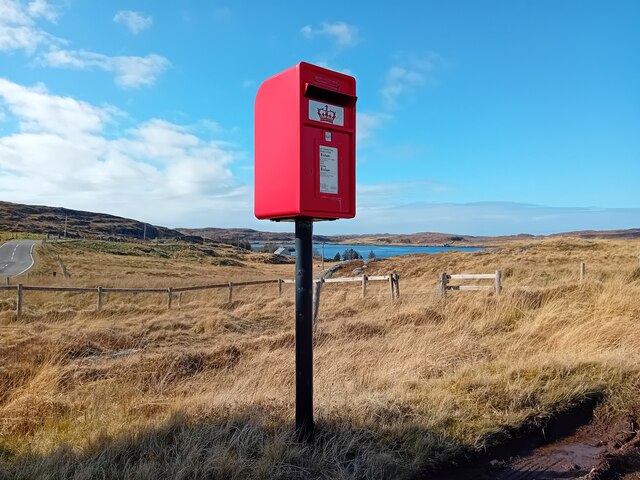
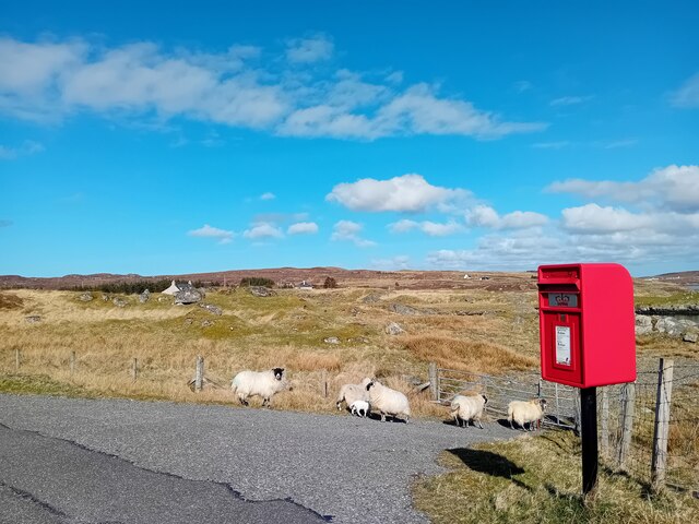
Loch a' Chaphail Images

Images are sourced within 2km of 58.194162/-6.8146873 or Grid Reference NB1732. Thanks to Geograph Open Source API. All images are credited.

Great Bernera bridges The new bridge under construction and the old white bridge.
Great Bernera bridges
The new bridge under construction and the old white bridge.
Postbox at Crulivig HS2 91. Royal Mail list this box as 'Crulivig'.
Postbox at Crulivig
HS2 91. Royal Mail list this box as 'Crulivig'.
Postbox on Great Bernera HS2 88. Royal Mail list this box as 'Shore'.
Postbox on Great Bernera
HS2 88. Royal Mail list this box as 'Shore'.
"The Bridge Across the Atlantic" Bernera Bridge is one of several bridges which claim to span the Atlantic Ocean. This one connects the Lewis mainland with the island of Great Bernera / Bearnaraigh. Note the standing stones on the far side of the bridge.
<span class="nowrap"><a title="http://www.uigandbernera.com/" rel="nofollow ugc noopener" href="http://www.uigandbernera.com/">Link</a><img style="margin-left:2px;" alt="External link" title="External link - shift click to open in new window" src="https://s1.geograph.org.uk/img/external.png" width="10" height="10"/></span>
"The Bridge Across the Atlantic"
Bernera Bridge is one of several bridges which claim to span the Atlantic Ocean. This one connects the Lewis mainland with the island of Great Bernera / Bearnaraigh. Note the standing stones on the far side of the bridge. LinkExternal link
Bernera Bridge Opened in 1953 and connecting Lewis with Great Bernera / Bearnaraigh.
<span class="nowrap"><a title="http://www.uigandbernera.com/" rel="nofollow ugc noopener" href="http://www.uigandbernera.com/">Link</a><img style="margin-left:2px;" alt="External link" title="External link - shift click to open in new window" src="https://s1.geograph.org.uk/img/external.png" width="10" height="10"/></span>
Bernera Bridge
Opened in 1953 and connecting Lewis with Great Bernera / Bearnaraigh. LinkExternal link
Sea Kayakers by Port a Chruidh Kayakers who have come from Miavaig / Miabhaig and are heading eastwards, having just passed below Bernera Bridge. The mainland of Lewis is on the far side of the 1953 bridge.
<span class="nowrap"><a title="http://www.uigandbernera.com/" rel="nofollow ugc noopener" href="http://www.uigandbernera.com/">Link</a><img style="margin-left:2px;" alt="External link" title="External link - shift click to open in new window" src="https://s1.geograph.org.uk/img/external.png" width="10" height="10"/></span>
Sea Kayakers by Port a Chruidh
Kayakers who have come from Miavaig / Miabhaig and are heading eastwards, having just passed below Bernera Bridge. The mainland of Lewis is on the far side of the 1953 bridge. LinkExternal link
Lewisian Gneiss Pink, folded Lewisian gneiss at the north end of Bernera Bridge. These are amongst the oldest rocks in the world.
<span class="nowrap"><a title="http://www.uigandbernera.com/" rel="nofollow ugc noopener" href="http://www.uigandbernera.com/">Link</a><img style="margin-left:2px;" alt="External link" title="External link - shift click to open in new window" src="https://s1.geograph.org.uk/img/external.png" width="10" height="10"/></span>
Lewisian Gneiss
Pink, folded Lewisian gneiss at the north end of Bernera Bridge. These are amongst the oldest rocks in the world. LinkExternal link
Stone Circle by Bernera Bridge Ancient stone circle on a mound above the north end of the bridge. the stones are part of the famous Callanish complex of standing stones.
Stone Circle by Bernera Bridge
Ancient stone circle on a mound above the north end of the bridge. the stones are part of the famous Callanish complex of standing stones.
Cleitir Stone Circle Calanais VIII - four standing stones above Bernera Bridge and the sound separating the island from Lewis.
Cleitir Stone Circle
Calanais VIII - four standing stones above Bernera Bridge and the sound separating the island from Lewis.
Telephone Box at Crulabhig Probably it's only the sheep that get calls here?
Telephone Box at Crulabhig
Probably it's only the sheep that get calls here?
Bernera Bridge
Bernera Bridge
Standing stones by Bernera Bridge
Great Bernera: postbox № HS2 82 and a ruined croft house This postbox stands at the southern end of the island, a few hundred yards from the Bernera Bridge. Behind it, we see a ruined croft house, so common in the Scottish islands.
Great Bernera: postbox № HS2 82 and a ruined croft house
This postbox stands at the southern end of the island, a few hundred yards from the Bernera Bridge. Behind it, we see a ruined croft house, so common in the Scottish islands.
Crulivig: the telephone box Pictured during heavy rain, this phone box has Hebridean doors, to keep the wind at bay.
Crulivig: the telephone box
Pictured during heavy rain, this phone box has Hebridean doors, to keep the wind at bay.
Crulivig: postbox № HS2 91 This postbox stands on the opposite side of the road to <a href="https://www.geograph.org.uk/photo/3286743">NB1733 : Crulivig: the telephone box</a>. It is emptied each morning except Sunday at a quarter to nine.
Crulivig: postbox № HS2 91
This postbox stands on the opposite side of the road to NB1733 : Crulivig: the telephone box. It is emptied each morning except Sunday at a quarter to nine.
Great Bernera Road Bridge Great Bernera lies in Loch Roag on the north-west coast of Lewis and is linked to it by a road bridge. Built in 1953, the bridge was the first pre-stressed concrete bridge in Europe. The main settlement on the island is Breaclete (Gaelic: Breacleit).
I was here bagging the island of Great Bernera with George Morl and its high point a TuMP called Middle Shalaval, at 87 metres and a P87 hill.
Great Bernera Road Bridge
Great Bernera lies in Loch Roag on the north-west coast of Lewis and is linked to it by a road bridge. Built in 1953, the bridge was the first pre-stressed concrete bridge in Europe. The main settlement on the island is Breaclete (Gaelic: Breacleit). I was here bagging the island of Great Bernera with George Morl and its high point a TuMP called Middle Shalaval, at 87 metres and a P87 hill.
Callanish X
Callanish X
Abandoned croft house near Lundal
Show me another place!

Loch a' Chaphail is located at Grid Ref: NB1732 (Lat: 58.194162, Lng: -6.8146873)

Unitary Authority: Na h-Eileanan an Iar

Police Authority: Highlands and Islands

What 3 Words

///fleet.paid.collected. Near Carloway, Na h-Eileanan Siar

Related Wikis

Callanish VIII

The Callanish VIII stone setting is one of many megalithic structures around the better-known (and larger) Calanais I on the west coast of the Isle of...

Eilean Chearstaidh

Eilean Kearstay (Scottish Gaelic: Eilean Chearstaigh) is an uninhabited island in Loch Roag in the Outer Hebrides of Scotland. It lies south east of Great...

Dun Bharabhat, Great Bernera

Dun Bharabhat (or Dun Baravat) is an Iron Age galleried dun or "semi-broch" situated on the island of Great Bernera near Lewis in Scotland (grid reference...

Ceabhaigh

Ceabhaigh is a small island in an arm of Loch Ròg on the west coast of Lewis in the Outer Hebrides of Scotland. It is about 25 hectares (62 acres) in extent...

Nearby Amenities

Located within 500m of 58.194162,-6.8146873
Bus Stop
Crulivig
Naptan AtcoCode: 6010731627
Naptan Bearing: NW
Naptan CommonName: Crulivig
Naptan Indicator: Village
Naptan Landmark: Village
Naptan NaptanCode: 94723846
Naptan Street: Village
Naptan Verified: no
Source: naptan_import
Lat/Long: 58.1979058/-6.8105197
Telephone
Booth: K6
Covered: booth
Note: phone box has a pair of half doors rather than just one
Operator: BT
Phone: +44 1851 612223
Source: survey
Lat/Long: 58.197977/-6.8102899
Power: pole
Lat/Long: 58.1943639/-6.8070427
Power: pole
Lat/Long: 58.1946256/-6.8079476
Power: pole
Lat/Long: 58.1951113/-6.8093129
Power: pole
Lat/Long: 58.1953754/-6.8104663
Power: pole
Lat/Long: 58.1958214/-6.8119943
Power: pole
Lat/Long: 58.1961069/-6.812992
Power: pole
Lat/Long: 58.1965137/-6.81445
Power: pole
Lat/Long: 58.1967559/-6.8153608
Power: pole
Lat/Long: 58.1970383/-6.8163053
Power: pole
Lat/Long: 58.1972749/-6.8173482
Power: pole
Lat/Long: 58.1978054/-6.8186709
Power: pole
Lat/Long: 58.1966707/-6.8127369
Power: pole
Lat/Long: 58.1973187/-6.8124238
Power: pole
Lat/Long: 58.1976847/-6.8122708
Power: pole
Lat/Long: 58.1979957/-6.811837
Power: pole
Lat/Long: 58.1979815/-6.8125338
Power: pole
Lat/Long: 58.1982706/-6.8127933
Power: pole
Lat/Long: 58.1978673/-6.8176144
The data included in this document is from www.openstreetmap.org. The data is made available under ODbL.

Have you been to Loch a' Chaphail?

Leave your review of Loch a' Chaphail below (or comments, questions and feedback).