Loch na Faing

Lake, Pool, Pond, Freshwater Marsh in Ross-shire

Scotland

Loch na Faing

Telephone Box at Crulabhig Probably it's only the sheep that get calls here?
Telephone Box at Crulabhig Credit: Jo and Steve Turner

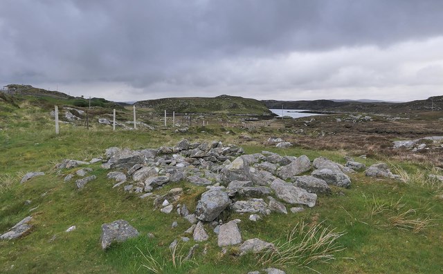
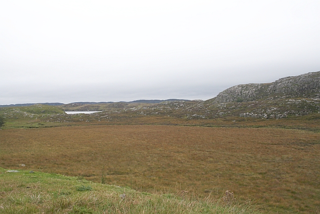
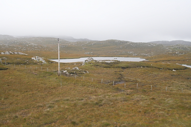
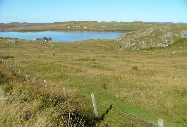
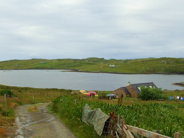
Loch na Faing is a stunning freshwater loch located in Ross-shire, Scotland. Situated amidst the picturesque Scottish Highlands, it offers breathtaking views and a tranquil atmosphere for visitors. The loch is nestled within a natural landscape of rolling hills, lush greenery, and scattered woodland.

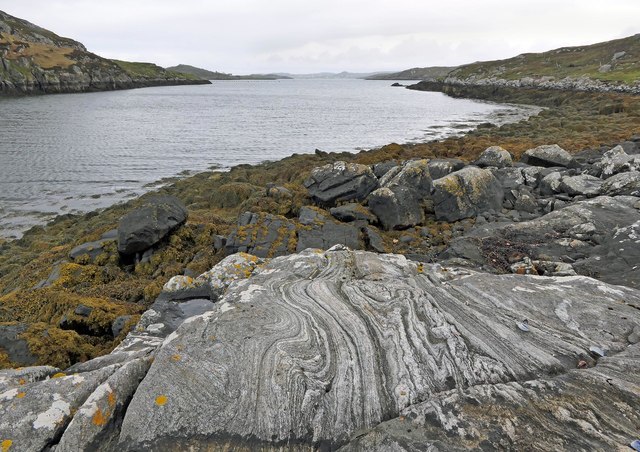
Covering an area of approximately 50 acres, Loch na Faing is relatively small compared to other nearby lochs. Its crystal-clear waters are fed by natural springs and streams, ensuring a constant flow of fresh water. The loch is renowned for its exceptional water quality, making it a haven for various aquatic species.

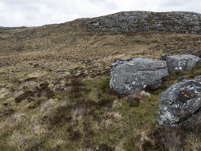
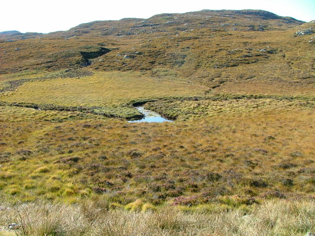
Surrounded by a diverse range of flora and fauna, Loch na Faing is an important ecosystem. The surrounding area is a habitat for numerous bird species, including ducks, swans, and herons, making it a popular spot for birdwatchers. Additionally, the loch supports a variety of fish, such as brown trout and pike, attracting fishing enthusiasts.

The shores of Loch na Faing are mostly rugged and rocky, with patches of marshland and reeds. These marshy areas provide a habitat for various amphibians and insects. The loch is also home to a variety of aquatic vegetation, such as water lilies and reed beds, creating a vibrant and dynamic ecosystem.

Visitors to Loch na Faing can enjoy a range of activities, including fishing, birdwatching, and walking along the scenic trails that surround the loch. The peaceful ambiance and stunning natural beauty of Loch na Faing make it an ideal destination for those seeking a serene and immersive experience in the heart of the Scottish Highlands.

If you have any feedback on the listing, please let us know in the comments section below.

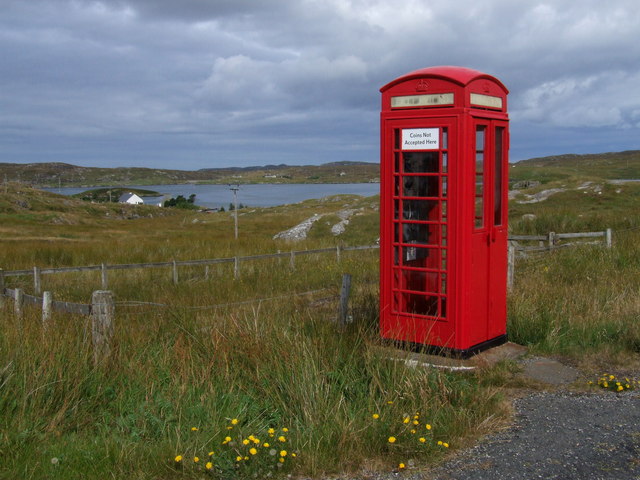
Loch na Faing Images

Images are sourced within 2km of 58.187787/-6.8045913 or Grid Reference NB1732. Thanks to Geograph Open Source API. All images are credited.

Telephone Box at Crulabhig Probably it's only the sheep that get calls here?
Telephone Box at Crulabhig
Probably it's only the sheep that get calls here?
Crulivig: the telephone box Pictured during heavy rain, this phone box has Hebridean doors, to keep the wind at bay.
Crulivig: the telephone box
Pictured during heavy rain, this phone box has Hebridean doors, to keep the wind at bay.
Crulivig: postbox № HS2 91 This postbox stands on the opposite side of the road to <a href="https://www.geograph.org.uk/photo/3286743">NB1733 : Crulivig: the telephone box</a>. It is emptied each morning except Sunday at a quarter to nine.
Crulivig: postbox № HS2 91
This postbox stands on the opposite side of the road to NB1733 : Crulivig: the telephone box. It is emptied each morning except Sunday at a quarter to nine.
Boggy and rocky Often in this type of country, getting up onto a bit of high ground reveals a lochan or just a little pool to add a bit of interest. Not here. The high ground is on the lower slopes of Beinn Sgarastaigh, but with a summit height of 98 m, and difficult navigation through peat hags, no one is likely to get excited about it.
Boggy and rocky
Often in this type of country, getting up onto a bit of high ground reveals a lochan or just a little pool to add a bit of interest. Not here. The high ground is on the lower slopes of Beinn Sgarastaigh, but with a summit height of 98 m, and difficult navigation through peat hags, no one is likely to get excited about it.
Abandoned croft house near Lundal
Low cloud over Great Bernera A thin bank of cloud over the sea. Looking northeast from the B8059 near Lundale.
Low cloud over Great Bernera
A thin bank of cloud over the sea. Looking northeast from the B8059 near Lundale.
Rough pasture near Lundale Looking east towards Callanish, across Loch Ròg.
Rough pasture near Lundale
Looking east towards Callanish, across Loch Ròg.
Beinn Scarastaigh from near Lundale A large rocky hill about 1km to the southeast,
Beinn Scarastaigh from near Lundale
A large rocky hill about 1km to the southeast,
Tòb Lundale, Isle of Lewis Tòb Lundale is an inlet on Loch Ròg.  Tòb is a Gaelic word for bay or cove.
Tòb Lundale, Isle of Lewis
Tòb Lundale is an inlet on Loch Ròg. Tòb is a Gaelic word for bay or cove.
Building remains, Lundal, Isle of Lewis Looking towards the head of Tòb Lundale, an inlet on Loch Ròg.
Building remains, Lundal, Isle of Lewis
Looking towards the head of Tòb Lundale, an inlet on Loch Ròg.
Phonebox on the road to Great Bernera
Druim a Chruidh The flat peat bog hides the small Lundale river and several tributaries which flow into Tob Lundale.
Druim a Chruidh
The flat peat bog hides the small Lundale river and several tributaries which flow into Tob Lundale.
Loch Aird A small inland loch that drains into Loch na Faing.
Loch Aird
A small inland loch that drains into Loch na Faing.
Lundale River Beneath Cleite na Cloich Ard.
Lundale River
Beneath Cleite na Cloich Ard.
Grazing Land by the Road to Bearnaraigh (Great Bernera) Looking towards Loch Barraglom and Bearnaraigh.
Grazing Land by the Road to Bearnaraigh (Great Bernera)
Looking towards Loch Barraglom and Bearnaraigh.
Telephone Box at Crulabhig Loch Barraglom in the background.
Telephone Box at Crulabhig
Loch Barraglom in the background.
Coins not accepted here Seemingly standing guard over Loch Barraglom, Great Bernera, is this newly restored classic telephone box.  Pictured on 22nd August 2008.
It would be interesting to know the number of calls (if any) made from this very remote box.
Coins not accepted here
Seemingly standing guard over Loch Barraglom, Great Bernera, is this newly restored classic telephone box. Pictured on 22nd August 2008. It would be interesting to know the number of calls (if any) made from this very remote box.
Croft house at Lundal Looking down the access track to a croft house above the shoreline at Lundal. The south eastern coastline of Great Bernera is just across the water.
Croft house at Lundal
Looking down the access track to a croft house above the shoreline at Lundal. The south eastern coastline of Great Bernera is just across the water.
Show me another place!

Loch na Faing is located at Grid Ref: NB1732 (Lat: 58.187787, Lng: -6.8045913)

Unitary Authority: Na h-Eileanan an Iar

Police Authority: Highlands and Islands

What 3 Words

///mend.daytime.nametag. Near Carloway, Na h-Eileanan Siar

Related Wikis

Callanish VIII

The Callanish VIII stone setting is one of many megalithic structures around the better-known (and larger) Calanais I on the west coast of the Isle of...

Eilean Chearstaidh

Eilean Kearstay (Scottish Gaelic: Eilean Chearstaigh) is an uninhabited island in Loch Roag in the Outer Hebrides of Scotland. It lies south east of Great...

Ceabhaigh

Ceabhaigh is a small island in an arm of Loch Ròg on the west coast of Lewis in the Outer Hebrides of Scotland. It is about 25 hectares (62 acres) in extent...

Callanish Stones

The Callanish Stones (or "Callanish I": Scottish Gaelic: Clachan Chalanais or Tursachan Chalanais) are an arrangement of standing stones placed in a cruciform...

Have you been to Loch na Faing?

Leave your review of Loch na Faing below (or comments, questions and feedback).