Loch an Eilein

Lake, Pool, Pond, Freshwater Marsh in Ross-shire

Scotland

Loch an Eilein

Loch Ruadh Loch Ruadh on route to Beinn Mothal.
Loch Ruadh Credit: Rude Health

Loch an Eilein is a picturesque freshwater lake located in the county of Ross-shire, Scotland. Nestled within the enchanting Cairngorms National Park, this natural wonder offers breathtaking scenery and a rich history.

Covering an area of approximately 90 acres, Loch an Eilein is surrounded by dense woodlands, creating a peaceful and secluded atmosphere. The lake itself is known for its crystal-clear waters, reflecting the surrounding landscape and creating a stunning mirror-like effect. It is fed by several small streams and is home to a variety of freshwater fish, including trout.

One of the prominent features of Loch an Eilein is its small island located near its southern shore. This island is home to the ruins of a 13th-century castle, which was once a stronghold of the Earls of Ross. The castle, although in ruins, adds an air of mystery and intrigue to the already captivating scenery.

The lake and its surroundings provide a haven for wildlife enthusiasts and nature lovers. The woodlands surrounding Loch an Eilein are home to a diverse range of flora and fauna, including red squirrels, ospreys, and a variety of woodland birds. The tranquil setting also makes it an ideal spot for leisurely walks, cycling, and picnicking.

Loch an Eilein is a popular destination for tourists and locals alike, offering a unique blend of natural beauty and historical significance. Whether it is exploring the castle ruins, admiring the reflections on the calm waters, or simply immersing oneself in the serene surroundings, Loch an Eilein is a truly remarkable place to visit in Ross-shire.

If you have any feedback on the listing, please let us know in the comments section below.

Loch an Eilein Images

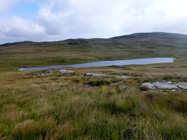
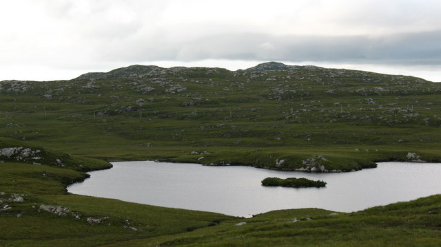
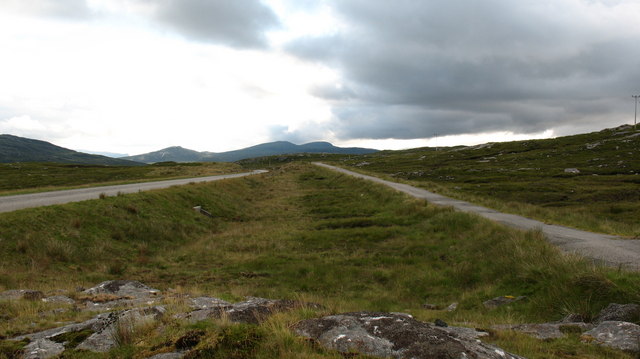
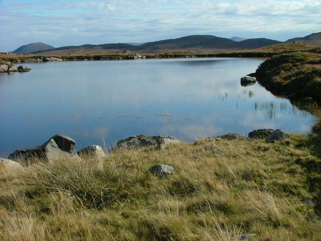
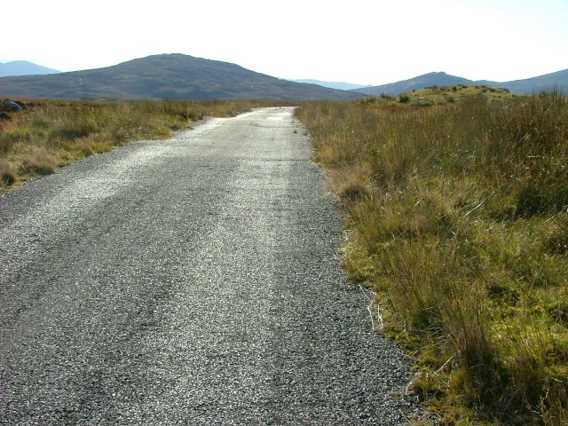
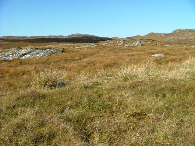
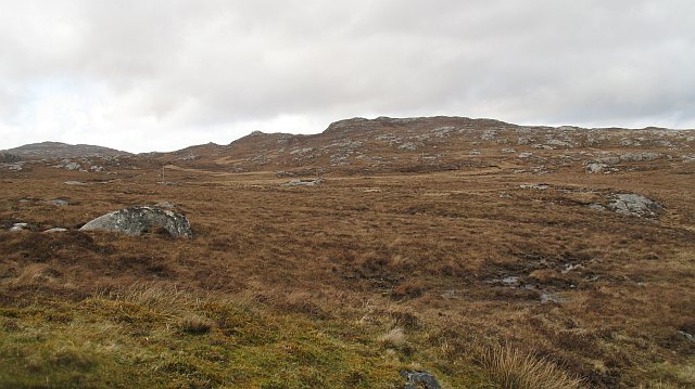
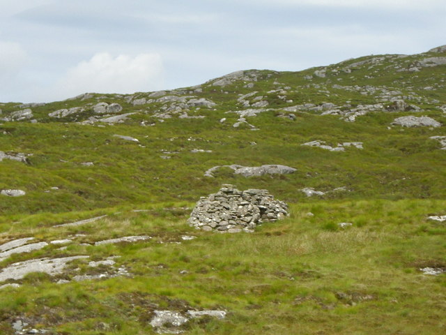
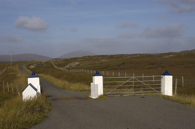
Images are sourced within 2km of 58.128586/-6.8226854 or Grid Reference NB1625. Thanks to Geograph Open Source API. All images are credited.
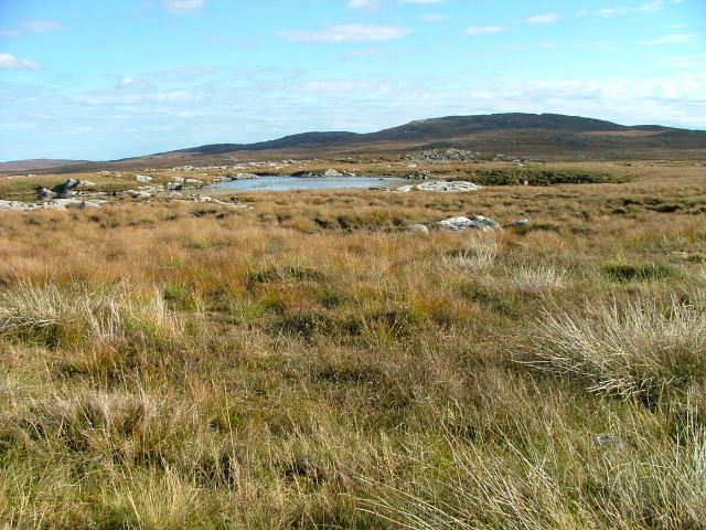
Loch Ruadh Loch Ruadh on route to Beinn Mothal.
Loch Ruadh
Loch Ruadh on route to Beinn Mothal.
Heading For Loch Ruah Descending from Coltraiseal Beag heading for Loch Ruadh and then Ben Mohal [Beinn Mothal].
Heading For Loch Ruah
Descending from Coltraiseal Beag heading for Loch Ruadh and then Ben Mohal [Beinn Mothal].
Loch Sùrstabhat at sunset Although looking almost due north, the sun was setting just off the left of this view, taken after 10 pm (summer time). The sunset hadn't yet developed the spectacular underlit cloudscape that followed 20 minutes or so later, but the little loch caught our eye as we became increasingly distracted from the road looking for a suitable foreground. Fortunately, there are sections of the old road to safely get off the highway and wander about with a camera !
Loch Sùrstabhat at sunset
Although looking almost due north, the sun was setting just off the left of this view, taken after 10 pm (summer time). The sunset hadn't yet developed the spectacular underlit cloudscape that followed 20 minutes or so later, but the little loch caught our eye as we became increasingly distracted from the road looking for a suitable foreground. Fortunately, there are sections of the old road to safely get off the highway and wander about with a camera !
Sunset over Loch Sùrstabhat As the sky cleared from the west, the sun started to underlight the cloud cover as we passed by the upper end of Loch Sùrstabhat. The perspective and the direction of clearance has produced one of those views where the horizon looks tilted one way when seen "broad-brush" but then seems tilted the other way when the water is looked at more closely. I find the effect somewhat disturbing, but have tried to get the real horizon as level as possible. It's not helped by those electric poles all leaning towards the long span of cable across the loch...
Sunset over Loch Sùrstabhat
As the sky cleared from the west, the sun started to underlight the cloud cover as we passed by the upper end of Loch Sùrstabhat. The perspective and the direction of clearance has produced one of those views where the horizon looks tilted one way when seen "broad-brush" but then seems tilted the other way when the water is looked at more closely. I find the effect somewhat disturbing, but have tried to get the real horizon as level as possible. It's not helped by those electric poles all leaning towards the long span of cable across the loch...
Section of abandoned road next to the B8011
Loch Surstabhat A small loch to the north of the B8011. The tiny island helps to identify it.
Loch Surstabhat
A small loch to the north of the B8011. The tiny island helps to identify it.
Old road/new road The rebuilt B8011 to the right with the original road on the left.
Old road/new road
The rebuilt B8011 to the right with the original road on the left.
Old and new roads. looking west along the B8011 in West Lewis with the new twin-track road on the left and the original single track road on the right.  At the moment the old road still has a reasonable tarred surface and is used by cyclists and walkers.
Old and new roads.
looking west along the B8011 in West Lewis with the new twin-track road on the left and the original single track road on the right. At the moment the old road still has a reasonable tarred surface and is used by cyclists and walkers.
Unnamed Lochan South of the B8011 Road. There are countless unnamed Lochs and Lochans on West Lewis.
Unnamed Lochan South of the B8011 Road.
There are countless unnamed Lochs and Lochans on West Lewis.
Old Road Part of the old B8011 road looking west.
Old Road
Part of the old B8011 road looking west.
Open Moorland West of the B8011
Open Moorland
West of the B8011
Lochan on the Moorland Unnamed on the OS map.
Lochan on the Moorland
Unnamed on the OS map.
Old Road Part of the old B8011.
Old Road
Part of the old B8011.
North Harris from the Morsgail moor The Clisham on the left and Tirga Mhor on the right
North Harris from the Morsgail moor
The Clisham on the left and Tirga Mhor on the right
End of the double track Single track running starts again on the road to Uig.
End of the double track
Single track running starts again on the road to Uig.
Beinn Mocacleit and moorland Moorland off the road to Uig.
Beinn Mocacleit and moorland
Moorland off the road to Uig.
Ruins of a sheiling, Cnoc Gorm Lonely ruin on a hillside a few hundred metres from the B8011 across cleg infested bog and rock.
Ruins of a sheiling, Cnoc Gorm
Lonely ruin on a hillside a few hundred metres from the B8011 across cleg infested bog and rock.
The road to Scaliscro Lodge
Show me another place!

Loch an Eilein is located at Grid Ref: NB1625 (Lat: 58.128586, Lng: -6.8226854)

Unitary Authority: Na h-Eileanan an Iar

Police Authority: Highlands and Islands

What 3 Words

///contrived.withdrew.decency. Near Carloway, Na h-Eileanan Siar

Related Wikis

Gisla Hydro-Electric Scheme

Gisla Hydro-Electric Scheme was a small scheme promoted by the North of Scotland Hydro-Electric Board on the Isle of Lewis, Outer Hebrides, Scotland. It...

Eilean Mòr, Loch Langavat

Eilean Mòr is an island in Loch Langavat on the Isle of Lewis in the Outer Hebrides of Scotland. == Footnotes ==

Callanish IV

The Callanish IV stone circle (Scottish Gaelic: Ceann Hulavig) is one of many megalithic structures around the better-known (and larger) Calanais I on...

Eilean Chearstaidh

Eilean Kearstay (Scottish Gaelic: Eilean Chearstaigh) is an uninhabited island in Loch Roag in the Outer Hebrides of Scotland. It lies south east of Great...

Nearby Amenities

Located within 500m of 58.128586,-6.8226854
Passing Place
Lat/Long: 58.1322666/-6.825905
Passing Place
Lat/Long: 58.1308117/-6.8278791
Passing Place
Lat/Long: 58.1283999/-6.8301653
Passing Place
Lat/Long: 58.130026/-6.8287224
Passing Place
Lat/Long: 58.1315755/-6.8269207
Power: pole
Lat/Long: 58.1313657/-6.8278933
Power: pole
Lat/Long: 58.1308941/-6.8281508
Power: pole
Lat/Long: 58.1303432/-6.8286336
Power: pole
Lat/Long: 58.1297229/-6.8291727
Power: pole
Lat/Long: 58.1291253/-6.8297091
Power: pole
Lat/Long: 58.1285319/-6.8302536
Power: pole
Lat/Long: 58.1279229/-6.8307552
The data included in this document is from www.openstreetmap.org. The data is made available under ODbL.

Have you been to Loch an Eilein?

Leave your review of Loch an Eilein below (or comments, questions and feedback).