Lochan a' Chùirn

Lake, Pool, Pond, Freshwater Marsh in Argyllshire

Scotland

Lochan a' Chùirn

Trig point at Calgary Point
Trig point at Calgary Point Credit: Peter Edwards

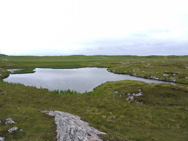
Lochan a' Chùirn is a picturesque freshwater loch located in Argyllshire, Scotland. Situated amidst the splendid and rugged landscape, this tranquil waterbody offers a serene escape from the bustling city life.

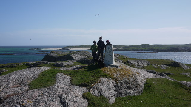
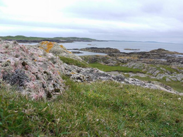
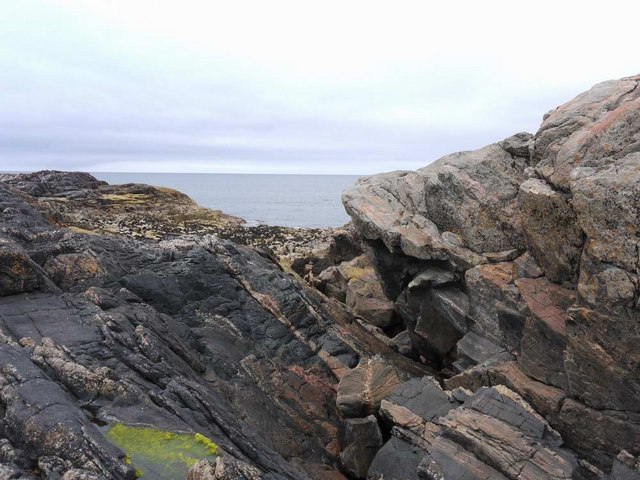
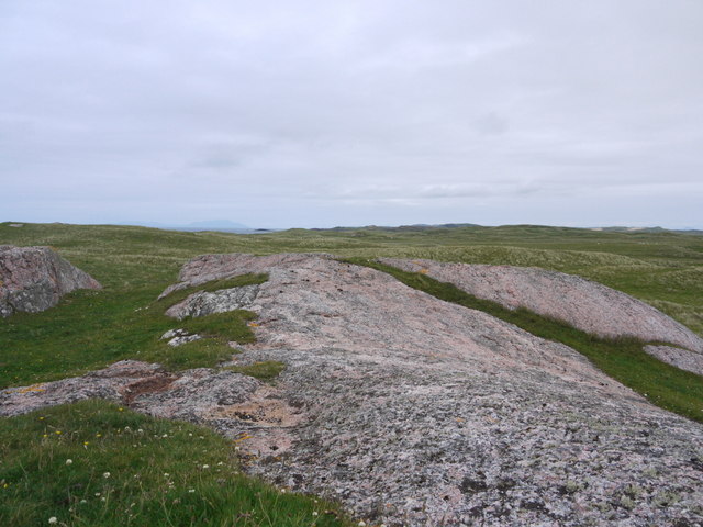
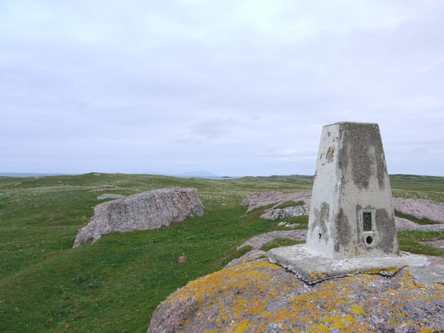
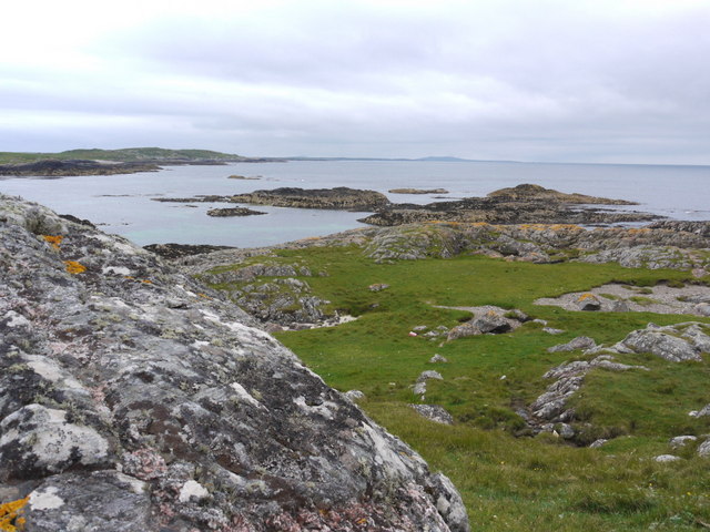
Surrounded by lush greenery and rolling hills, Lochan a' Chùirn is a popular destination for nature enthusiasts and outdoor lovers. Its crystal-clear waters, pristine environment, and diverse wildlife make it a haven for birdwatching and photography.

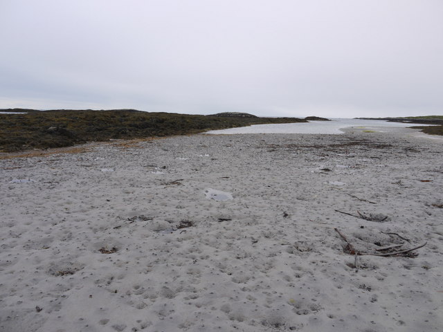
Measuring approximately 1.5 hectares in size, this lochan is known for its calm and peaceful ambiance. Its still waters reflect the surrounding landscape, creating a breathtaking and idyllic scene. The loch is fed by springs and small streams, ensuring a constant flow of fresh water.

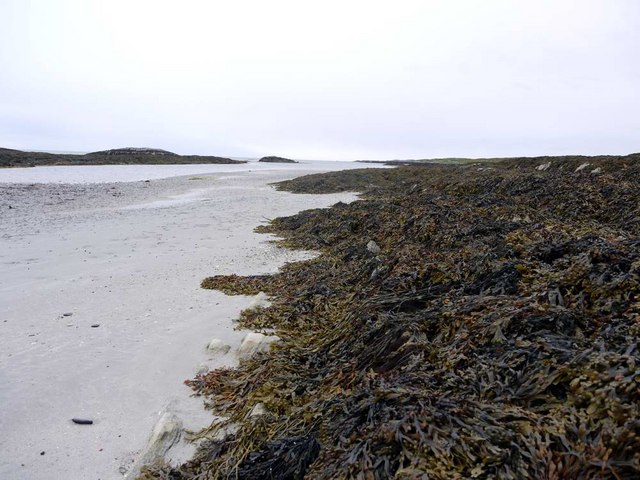
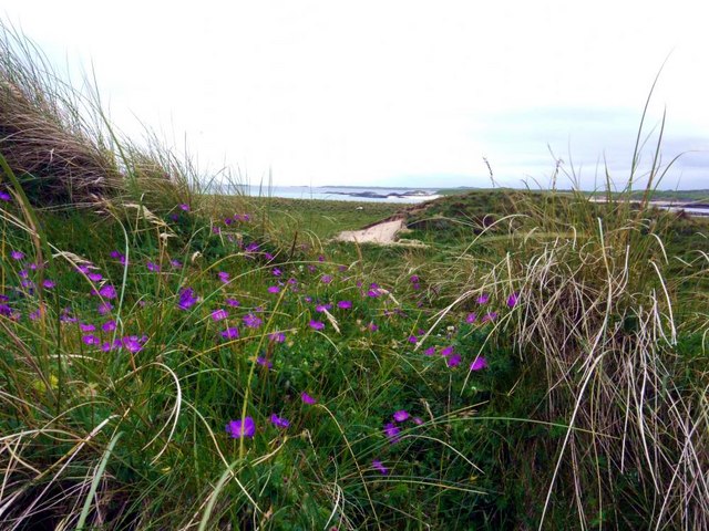
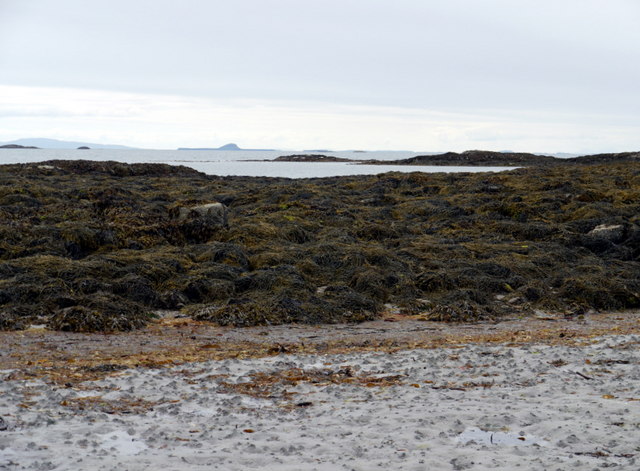
The surrounding area of Lochan a' Chùirn features a diverse ecosystem, including a freshwater marsh and various plant species. The marshland is home to a variety of wetland plants, such as reeds, rushes, and water lilies, providing a habitat for an array of animal species.

Birds, including herons, ducks, and swans, can often be spotted gracefully gliding across the water's surface or nesting in the surrounding vegetation. This loch also attracts a variety of other wildlife, such as otters, frogs, and dragonflies.

Lochan a' Chùirn offers a tranquil setting for leisure activities such as fishing, kayaking, and picnicking. Its untouched natural beauty, combined with the peaceful atmosphere, makes it a perfect destination for those seeking solace in nature. Whether it's a peaceful stroll along the loch's edge or simply basking in the serenity, Lochan a' Chùirn is a hidden gem waiting to be explored in Argyllshire.

If you have any feedback on the listing, please let us know in the comments section below.

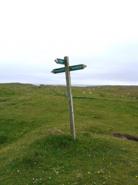
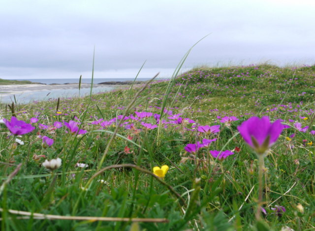
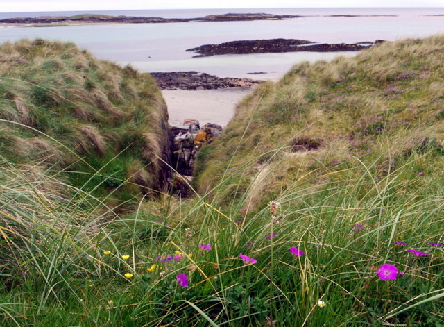
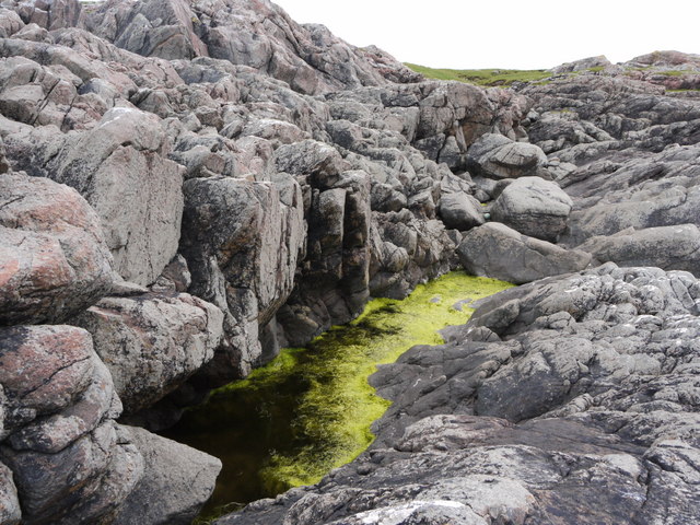
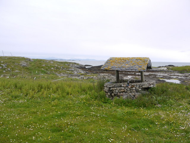
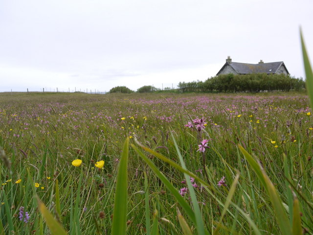
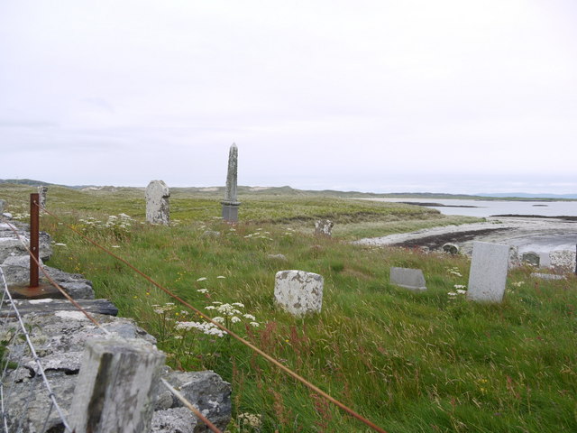
Lochan a' Chùirn Images

Images are sourced within 2km of 56.573885/-6.6920037 or Grid Reference NM1152. Thanks to Geograph Open Source API. All images are credited.

Trig point at Calgary Point
Calgary Point Looking over to Gunna
Calgary Point
Looking over to Gunna
Rock outcrops near Calgary Point
Low tide at the west end of Crossapol Bay Crossapol Bay is yet another of Coll's lovely sandy bays - about 2Km wide and there will probably only be you on it!
Low tide at the west end of Crossapol Bay
Crossapol Bay is yet another of Coll's lovely sandy bays - about 2Km wide and there will probably only be you on it!
Footpath sign on Coll Left to Crossapol Beach, right to Calgary Point and behind the photographer to Feall Beach.  There is waymarking on the path to Calgary Point but it is a little spasmodic (June 2011).
Footpath sign on Coll
Left to Crossapol Beach, right to Calgary Point and behind the photographer to Feall Beach. There is waymarking on the path to Calgary Point but it is a little spasmodic (June 2011).
The machair in bloom at Traigh Halum
Rocky inlet at Traigh Halum Bloody cranesbill, daisies and buttercups in bloom in the machair.
Rocky inlet at Traigh Halum
Bloody cranesbill, daisies and buttercups in bloom in the machair.
Weedy tide-pool near Calgary Point
Exposed rock at Calgary Point The hills of Rum just visible in the distance.
Exposed rock at Calgary Point
The hills of Rum just visible in the distance.
The trig at Calgary Point The hills of Rum visible in the distance.
The trig at Calgary Point
The hills of Rum visible in the distance.
Calgary Point Looking over to the island of Gunna and, beyond that, Tiree.
Calgary Point
Looking over to the island of Gunna and, beyond that, Tiree.
Bloody cranesbill and dunes at Traigh nan Siolag Tiree in the distance.
Bloody cranesbill and dunes at Traigh nan Siolag
Tiree in the distance.
Lochan a' Chuirn
Lochan a' Chuirn
Well at Coales House Known by this name on the OS 50,000 mapping, but named "Walkers Cottage" on the 25,000 version.  This well has what appears to be a pump and waterpipe emerging so is not merely decorative.  Caoles House appears to be derelict.
Well at Coales House
Known by this name on the OS 50,000 mapping, but named "Walkers Cottage" on the 25,000 version. This well has what appears to be a pump and waterpipe emerging so is not merely decorative. Caoles House appears to be derelict.
Caoles House (aka Walkers Cottage) Seen over the machair in full bloom.
Caoles House (aka Walkers Cottage)
Seen over the machair in full bloom.
Burial ground at Crossapol According to "Guide to Coll" by Betty MacDougall, high tides wrought such havoc on this graveyard that it could no longer be used.
Burial ground at Crossapol
According to "Guide to Coll" by Betty MacDougall, high tides wrought such havoc on this graveyard that it could no longer be used.
Low tide at the west end of Crossapol Bay The central island in the distance is Bac Mor, better known as Dutchman's Cap.
Low tide at the west end of Crossapol Bay
The central island in the distance is Bac Mor, better known as Dutchman's Cap.
Low tide at the west end of Crossapol Bay
Show me another place!

Lochan a' Chùirn is located at Grid Ref: NM1152 (Lat: 56.573885, Lng: -6.6920037)

Unitary Authority: Argyll and Bute

Police Authority: Argyll and West Dunbartonshire

What 3 Words

///tailed.hockey.scarf. Near Scarinish, Argyll & Bute

Related Wikis

Gunna, Scotland

Gunna (Gaelic: Gunnaigh) is an island in the Inner Hebrides of Scotland. == Geography and geology == Gunna lies between Coll and Tiree, closer to Coll...

Breachacha crannog

The Breachacha crannog is a crannog located near Loch Breachacha, on the Inner Hebridean island of Coll. The crannog is recognised in the United Kingdom...

Breachacha Castle

Breachacha Castle (also spelled Breacachadh) is either of two structures on the shore of Loch Breachacha, on the Inner Hebridean island of Coll, Scotland...

Dùn Beic

Dùn Beic is a dun located on the Inner Hebridean island of Coll. It is located at grid reference NM15495644 and is thought to date to between 1000 BCE...

Nearby Amenities

Located within 500m of 56.573885,-6.6920037
Power: pole
Lat/Long: 56.570469/-6.6958946
Power: pole
Lat/Long: 56.5710445/-6.6950846
Power: pole
Lat/Long: 56.5755906/-6.68797
Power: pole
Lat/Long: 56.5750395/-6.6888257
Power: pole
Lat/Long: 56.5730618/-6.6919236
Power: pole
Lat/Long: 56.5724464/-6.6928892
Power: pole
Lat/Long: 56.571746/-6.6939728
Power: pole
Lat/Long: 56.5762148/-6.686991
Power: pole
Lat/Long: 56.5768279/-6.686004
The data included in this document is from www.openstreetmap.org. The data is made available under ODbL.

Have you been to Lochan a' Chùirn?

Leave your review of Lochan a' Chùirn below (or comments, questions and feedback).