Mullach Stocklett Loch Dubh
Lake, Pool, Pond, Freshwater Marsh in Inverness-shire
Scotland
Mullach Stocklett Loch Dubh

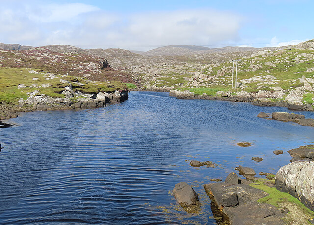
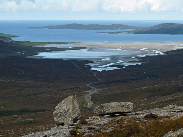
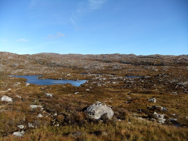
Mullach Stocklett Loch Dubh is a picturesque freshwater loch located in Inverness-shire, Scotland. Situated amidst the stunning Highland landscape, it serves as a popular attraction for nature enthusiasts and visitors seeking tranquility.
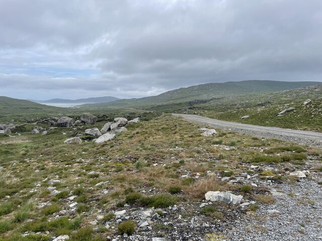
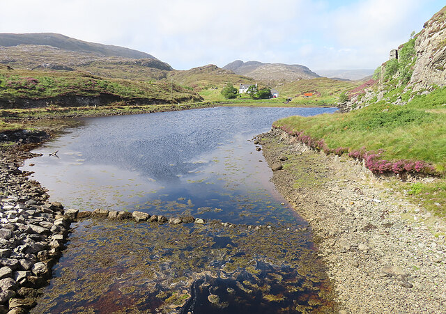
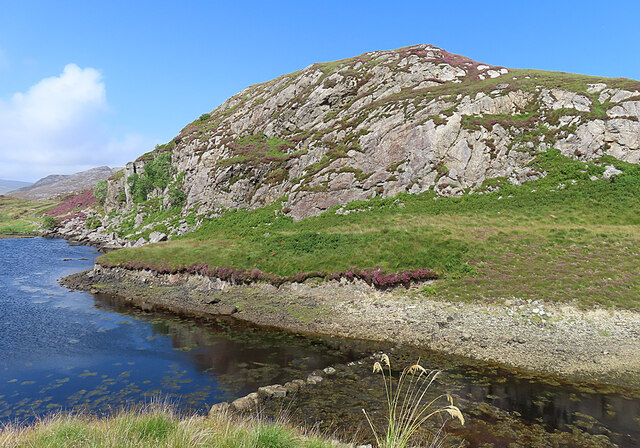
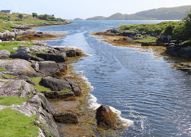
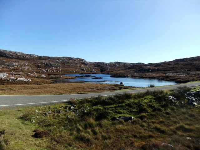
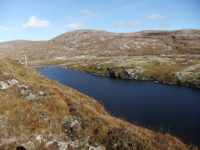
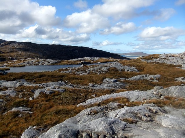
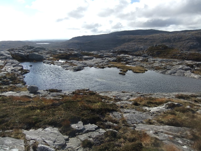
The loch, also known as Black Loch, covers an area of approximately 15 acres and is surrounded by rolling hills and dense forests, creating a serene and idyllic setting. Its waters are primarily fed by natural springs and rainfall, ensuring a constant flow of freshwater throughout the year.
The shoreline of Mullach Stocklett Loch Dubh is characterized by a mix of rocky outcrops and lush vegetation, providing a diverse habitat for various species of flora and fauna. The area is home to a wide range of bird species, including ducks, swans, and herons, making it a birdwatcher's paradise.
Fishing enthusiasts are also drawn to the loch, as it is known for its abundance of brown trout. Anglers can enjoy a peaceful day casting their lines while surrounded by the stunning natural beauty of the Scottish Highlands.
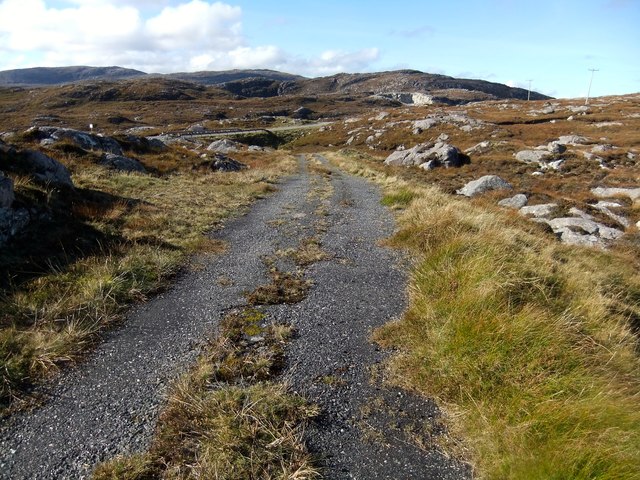
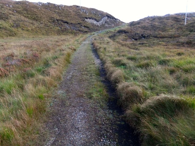
Aside from its natural beauty, Mullach Stocklett Loch Dubh offers visitors the opportunity to engage in activities such as hiking, picnicking, and photography. The tranquil surroundings and breathtaking views provide the perfect backdrop for outdoor pursuits and relaxation.
In conclusion, Mullach Stocklett Loch Dubh in Inverness-shire is a captivating freshwater loch that embodies the natural beauty and tranquility of the Scottish Highlands. With its diverse wildlife, excellent fishing opportunities, and stunning surroundings, it is a must-visit destination for nature lovers and those seeking solace in a serene environment.
If you have any feedback on the listing, please let us know in the comments section below.
Mullach Stocklett Loch Dubh Images
Images are sourced within 2km of 57.848169/-6.8563417 or Grid Reference NG1194. Thanks to Geograph Open Source API. All images are credited.


Mullach Stocklett Loch Dubh is located at Grid Ref: NG1194 (Lat: 57.848169, Lng: -6.8563417)
Unitary Authority: Na h-Eileanan an Iar
Police Authority: Highlands and Islands
What 3 Words
///eased.scans.elects. Near Tarbert, Na h-Eileanan Siar
Nearby Locations
Related Wikis

Stockinish Island
Stockinish Island (Scottish Gaelic: Eilean Stocainis) is an uninhabited island off Harris, in the Outer Hebrides. == Geography and geology == Stockinish...

Harris distillery
Harris distillery is a Scotch whisky and Gin distillery in Tarbert on the Isle of Harris, Scotland. The distillery was the first legal distillery ever...

Tarbert, Harris
Tarbert (Scottish Gaelic: An Tairbeart [ən̪ˠ ˈt̪ɛrʲɛbərˠʃt̪]) is the main community on Harris in the Western Isles of Scotland. The name means "isthmus...

East Loch Tarbert
East Loch Tarbert (Scottish Gaelic: Loch an Tairbeairt) is a sea loch that lies to the east of Harris in the Outer Hebrides of Scotland. The loch contains...
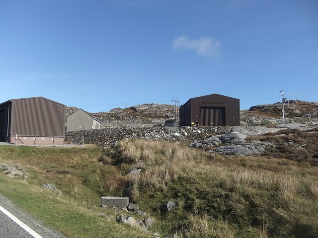
Nearby Amenities
Located within 500m of 57.848169,-6.8563417Have you been to Mullach Stocklett Loch Dubh?
Leave your review of Mullach Stocklett Loch Dubh below (or comments, questions and feedback).