Loch na Cuilc

Lake, Pool, Pond, Freshwater Marsh in Ross-shire

Scotland

Loch na Cuilc
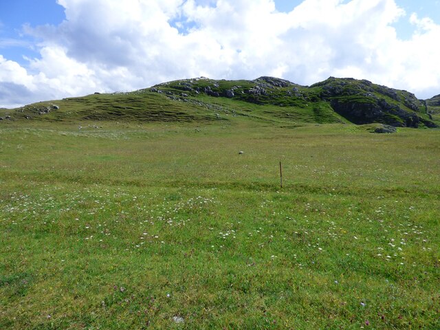
Lazy Beds at Tràigh na Beirigh Ridges formed by hand digging of fields.  These one are unusual in that some of the ridges are lined with small stones.
Lazy Beds at Tràigh na Beirigh Credit: Sandy Gerrard

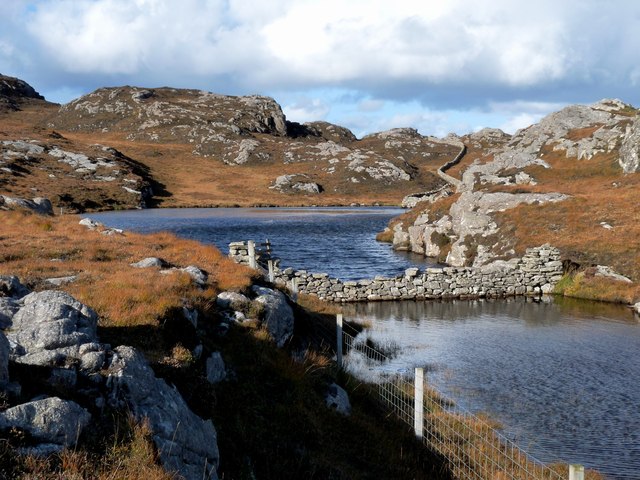
Loch na Cuilc is a picturesque freshwater lake located in Ross-shire, Scotland. Nestled amidst the rugged and breathtaking scenery of the Scottish Highlands, this body of water is often referred to as a loch, pool, pond, or freshwater marsh due to its unique characteristics.

Covering an area of approximately 20 hectares, Loch na Cuilc is relatively small in size but boasts an abundance of natural beauty. Surrounded by rolling hills and dense woodlands, the lake is a haven for outdoor enthusiasts and nature lovers alike. Its calm and tranquil waters create a serene atmosphere, perfect for relaxation and reflection.

The loch is known for its diverse ecosystem, supporting a variety of flora and fauna. The surrounding marshy areas provide a suitable habitat for a wide range of plants, including reeds, sedges, and water lilies. These lush vegetation areas attract numerous bird species, making it a haven for birdwatchers. Common sightings include herons, ducks, swans, and occasionally, ospreys.

Recreational activities such as fishing and boating are popular on Loch na Cuilc. Anglers are drawn to its waters in search of brown trout, which thrive in the lake's nutrient-rich environment. Boating enthusiasts can also enjoy leisurely cruises or kayaking, taking in the breathtaking views and the peaceful ambiance.

Loch na Cuilc offers visitors a unique opportunity to experience the tranquility and natural splendor of the Scottish Highlands. Whether it's birdwatching, fishing, or simply enjoying the serenity of the surroundings, this hidden gem is a must-visit destination for nature enthusiasts and those seeking an escape from the hustle and bustle of everyday life.

If you have any feedback on the listing, please let us know in the comments section below.

Loch na Cuilc Images

Images are sourced within 2km of 58.214992/-6.9414283 or Grid Reference NB0935. Thanks to Geograph Open Source API. All images are credited.

Lazy Beds at Tràigh na Beirigh Ridges formed by hand digging of fields.  These one are unusual in that some of the ridges are lined with small stones.
Lazy Beds at Tràigh na Beirigh
Ridges formed by hand digging of fields. These one are unusual in that some of the ridges are lined with small stones.
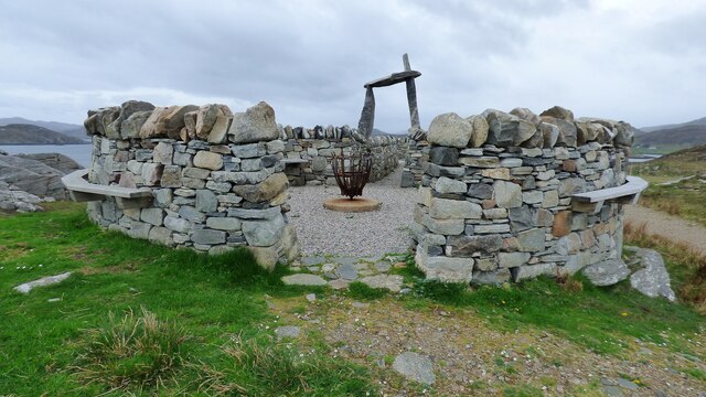
An Sùileachan Monument A monument to the Lewis land clearances <span class="nowrap"><a title="https://bhaltostrust.co.uk/suileachan-project/" rel="nofollow ugc noopener" href="https://bhaltostrust.co.uk/suileachan-project/">Link</a><img style="margin-left:2px;" alt="External link" title="External link - shift click to open in new window" src="https://s1.geograph.org.uk/img/external.png" width="10" height="10"/></span>
An Sùileachan Monument
A monument to the Lewis land clearances LinkExternal link
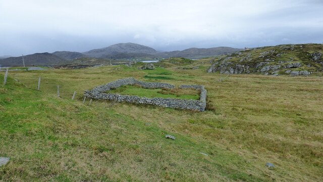
Sheepfold at Riof
Sheepfold at Riof
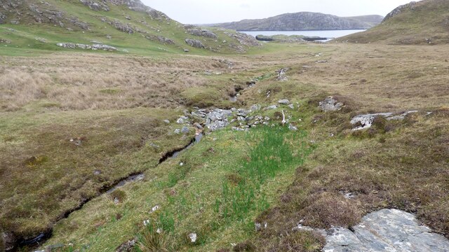
Norse Mill on burn leading from Loch Lionais The mill is very ruinous and survives as a spread of rubble overlying the lower courses of the building.  The leat serving the mill is represented by the bright green stripe.
Norse Mill on burn leading from Loch Lionais
The mill is very ruinous and survives as a spread of rubble overlying the lower courses of the building. The leat serving the mill is represented by the bright green stripe.
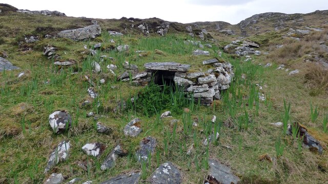
Norse Mill on burn leading from Loch Lionais The lower mill is rather better preserved with the tail race opening still intact.
Norse Mill on burn leading from Loch Lionais
The lower mill is rather better preserved with the tail race opening still intact.
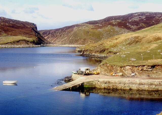
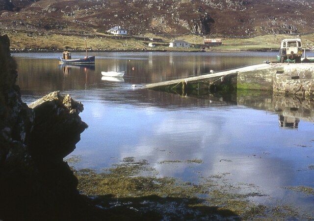
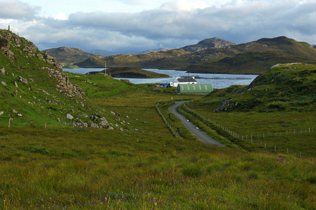
A slipway in Loch Miabhaig
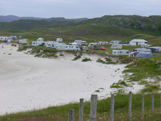
Berie Sands Caravan Park Busy site at Traigh na Beirigh with many caravans parked on the machair above the extensive sands.
Berie Sands Caravan Park
Busy site at Traigh na Beirigh with many caravans parked on the machair above the extensive sands.
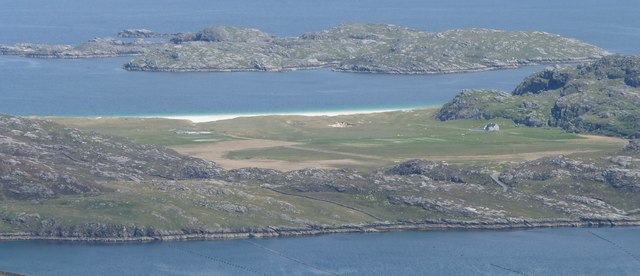
A' Bheirigh from Suaineabhal
Lochan at Cragavig An old boundary wall snakes across the moorland
Lochan at Cragavig
An old boundary wall snakes across the moorland
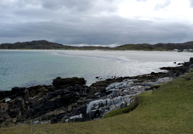
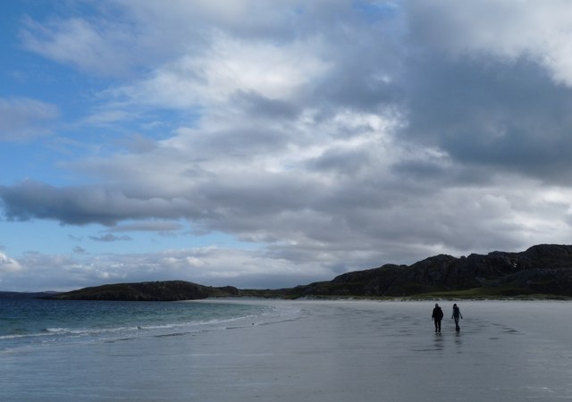
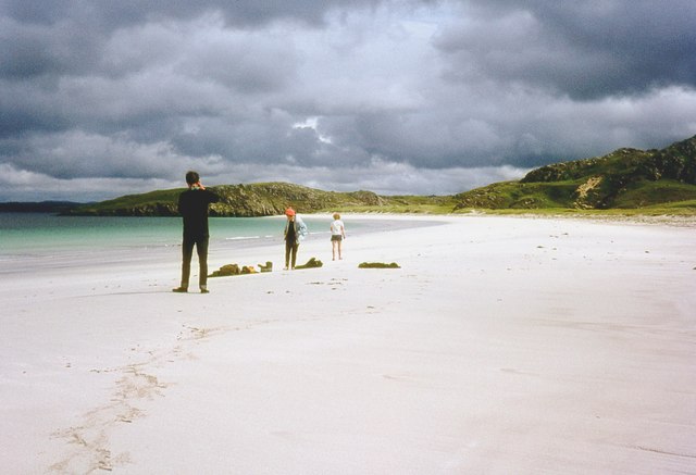
Tràigh na Beirigh In the 1960's this was a deserted beach.  Now it has to be shared with caravanners.
Tràigh na Beirigh
In the 1960's this was a deserted beach. Now it has to be shared with caravanners.
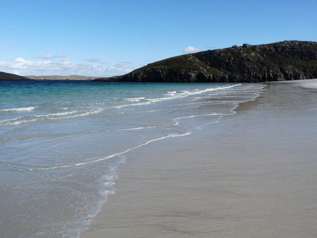
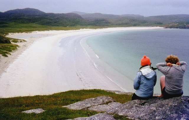
Tràigh na Beirigh A perfect crescent beach
Tràigh na Beirigh
A perfect crescent beach
A rocky buttress contains Tràigh na Beirigh
Traigh na Berie
Traigh na Berie
Tràigh na Beirigh from the east
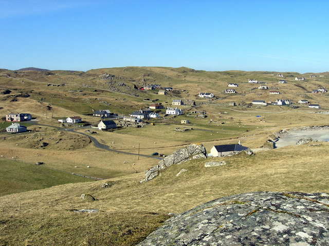
A' Bheirigh
A' Bheirigh
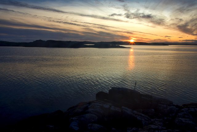
Sunrise, Gridig
Sunrise, Gridig
Show me another place!

Loch na Cuilc is located at Grid Ref: NB0935 (Lat: 58.214992, Lng: -6.9414283)

Unitary Authority: Na h-Eileanan an Iar

Police Authority: Highlands and Islands

What 3 Words

///sniff.knee.helper. Near Carloway, Na h-Eileanan Siar

Related Wikis

Loch na Berie

Loch Na Berie is a broch in the Outer Hebrides of Scotland, located approximately 400 yards from the shore, and is thought to have been located on an island...

Kneep

Kneep (Scottish Gaelic: Cnìp) is a village on the Isle of Lewis, in the Outer Hebrides, Scotland. Kneep is within the parish of Uig.Various archaeological...

Cliff, Lewis

Cliff (Scottish Gaelic: Cliobh) is a small settlement on the Isle of Lewis, in the Outer Hebrides, Scotland. Cliff is within the parish of Uig. The settlement...

Vacsay

Vacsay (Scottish Gaelic: Bhacsaigh from Old Norse "bakkiey" meaning "peat bank island") is one of the Outer Hebrides. It is off the west coast of Lewis...

Nearby Amenities

Located within 500m of 58.214992,-6.9414283
Barrier: cattle_grid
Lat/Long: 58.2149732/-6.9344801
Tourism: caravan_site
Lat/Long: 58.2175462/-6.9406277
Recycling
Recycling Type: container
Lat/Long: 58.2162282/-6.9402271
Toilets
Drinking Water: yes
Lat/Long: 58.2163069/-6.9400369
Parking
Capacity: 4
Opening Hours: sunrise-sunset
Surface: grass
Lat/Long: 58.2158326/-6.9363052
Barrier: entrance
Foot: yes
Lat/Long: 58.2158777/-6.9362659
Power: pole
Lat/Long: 58.2179177/-6.9430226
Power: pole
Lat/Long: 58.218496/-6.943799
Power: pole
Lat/Long: 58.2189938/-6.9444538
Passing Place
Lat/Long: 58.2186472/-6.9425573
The data included in this document is from www.openstreetmap.org. The data is made available under ODbL.

Have you been to Loch na Cuilc?

Leave your review of Loch na Cuilc below (or comments, questions and feedback).