Loch an Fhudair
Lake, Pool, Pond, Freshwater Marsh in Ross-shire
Scotland
Loch an Fhudair
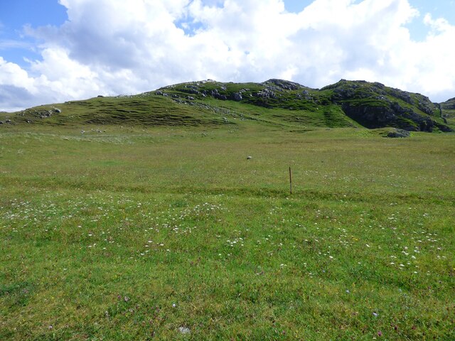
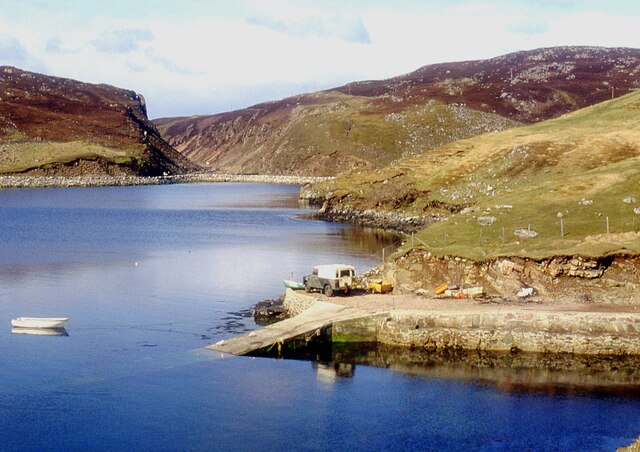
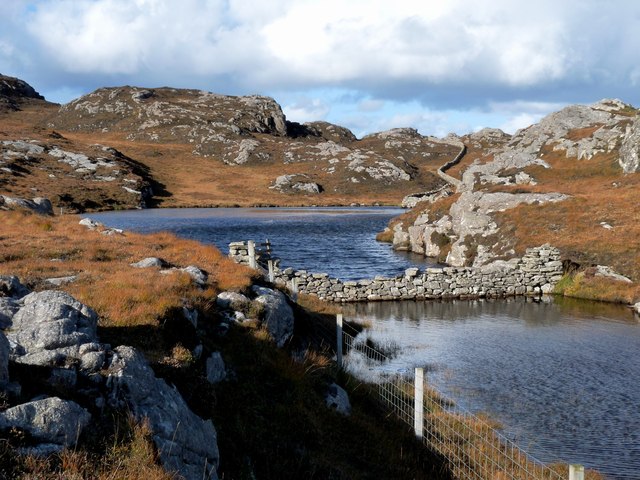
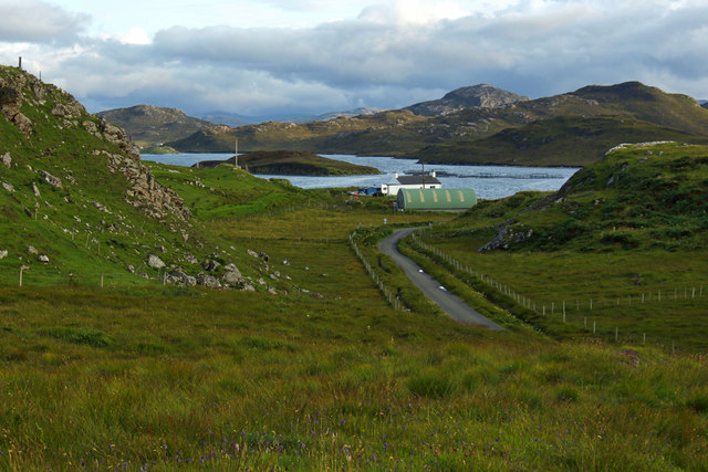
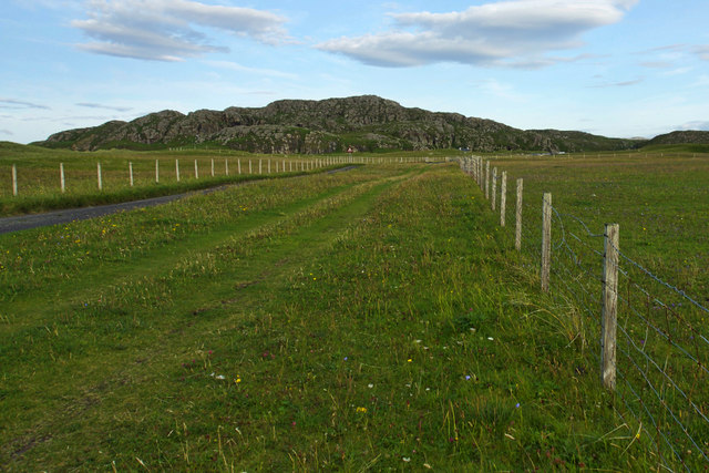
Loch an Fhudair is a small freshwater loch located in Ross-shire, Scotland. Situated in the remote and picturesque Scottish Highlands, the loch is nestled amidst rolling hills and lush greenery, providing a tranquil and serene environment.
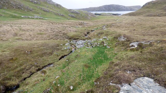
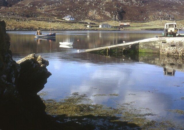
Covering an area of approximately 2 hectares, Loch an Fhudair is relatively small in size. It is characterized by its calm, still waters, which reflect the surrounding landscape, creating a stunning visual spectacle. The loch has a maximum depth of around 5 meters, with its waters fed by small streams and springs that flow from the nearby hills.
Surrounded by a diverse range of vegetation, Loch an Fhudair is home to a variety of plant and animal species. The loch's edges are adorned with reeds and rushes, providing shelter and nesting grounds for waterfowl and other aquatic creatures. It is not uncommon to spot ducks, swans, and other water birds gracefully gliding across the water's surface.
In addition to its natural beauty, Loch an Fhudair also holds historical significance. It is believed to have been a site of ancient settlements, with remnants of stone structures and burial sites discovered in the area. These archaeological findings offer a glimpse into the lives of early inhabitants of the region.
Overall, Loch an Fhudair is a captivating and peaceful freshwater loch, offering visitors a chance to connect with nature and soak in the beauty of the Scottish Highlands.
If you have any feedback on the listing, please let us know in the comments section below.
Loch an Fhudair Images
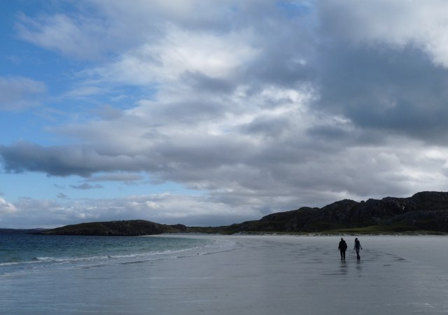
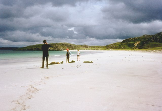
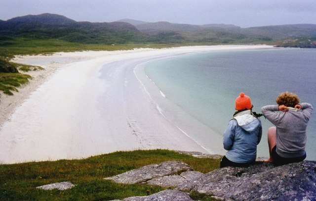
Images are sourced within 2km of 58.211187/-6.9502226 or Grid Reference NB0935. Thanks to Geograph Open Source API. All images are credited.
Loch an Fhudair is located at Grid Ref: NB0935 (Lat: 58.211187, Lng: -6.9502226)
Unitary Authority: Na h-Eileanan an Iar
Police Authority: Highlands and Islands
What 3 Words
///belt.lasts.denim. Near Carloway, Na h-Eileanan Siar
Nearby Locations
Related Wikis
Loch na Berie
Loch Na Berie is a broch in the Outer Hebrides of Scotland, located approximately 400 yards from the shore, and is thought to have been located on an island...
Kneep
Kneep (Scottish Gaelic: Cnìp) is a village on the Isle of Lewis, in the Outer Hebrides, Scotland. Kneep is within the parish of Uig.Various archaeological...
Cliff, Lewis
Cliff (Scottish Gaelic: Cliobh) is a small settlement on the Isle of Lewis, in the Outer Hebrides, Scotland. Cliff is within the parish of Uig. The settlement...
Flodaigh, Lewis
Flodaigh is a small island in Loch Roag on the west coast of Lewis in the Outer Hebrides of Scotland. It is about 33 hectares (82 acres) in extent and...
Nearby Amenities
Located within 500m of 58.211187,-6.9502226Have you been to Loch an Fhudair?
Leave your review of Loch an Fhudair below (or comments, questions and feedback).
