Gedney Dyke

Settlement in Lincolnshire South Holland

England

Gedney Dyke

Old Milestone by A17, Long Sutton Road, beyond end of dual carriageway The Milestone is located on the verge on the South of the road.  Parish of Gedney (South Holland District). Carved stone post, erected by the Holbeach turnpike trust in the 19th Century. An earlier photograph can be found here: <a title="https://www.geograph.org.uk/photo/2730276" href="https://www.geograph.org.uk/photo/2730276">Link</a> 

Inscription reads:-  
TO / SPALDING / 11 / : : TO / HOLBEACH / 3  : : TO / LONG / SUTTON / 2 / MILES 

Grade II listed. List Entry Number: 1064581 <span class="nowrap"><a title="https://historicengland.org.uk/listing/the-list/list-entry/1064581" rel="nofollow ugc noopener" href="https://historicengland.org.uk/listing/the-list/list-entry/1064581">Link</a><img style="margin-left:2px;" alt="External link" title="External link - shift click to open in new window" src="https://s1.geograph.org.uk/img/external.png" width="10" height="10"/></span> 

Milestone Society National ID: LI_HBSU03
Old Milestone by A17, Long Sutton Road, beyond end of dual carriageway Credit: Hilary Jones

Gedney Dyke is a small village located in the Lincolnshire region of England. Situated approximately 9 miles south-east of Spalding, it falls within the South Holland district. The village is nestled in the fertile agricultural land of the Lincolnshire Fens, characterized by its flat topography and extensive drainage system.

Gedney Dyke boasts a population of around 400 people, making it a close-knit community. The village is known for its picturesque surroundings, with open fields, meandering waterways, and charming rural landscapes. The local economy primarily relies on agriculture, with many residents engaged in farming activities.

The village features a few amenities to cater to its residents' needs. These include a village hall, a primary school, and a church. The village hall serves as a social hub, hosting various community events and gatherings throughout the year. The primary school provides education for children in the area, fostering a sense of community and learning.

Gedney Dyke benefits from its proximity to nearby towns and cities. Spalding, with its range of shops, services, and leisure facilities, is easily accessible within a short drive. The village also enjoys good transport links, with the A16 road passing nearby, connecting it to other parts of Lincolnshire and beyond.

In summary, Gedney Dyke is a tranquil and close-knit village situated in the Lincolnshire Fens. With its beautiful surroundings, agricultural heritage, and community spirit, it offers a peaceful and idyllic rural lifestyle.

If you have any feedback on the listing, please let us know in the comments section below.
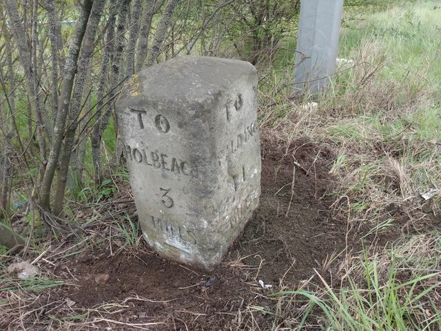
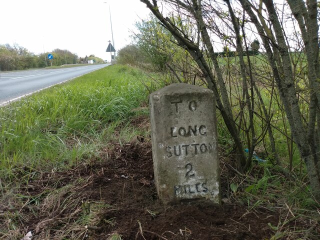
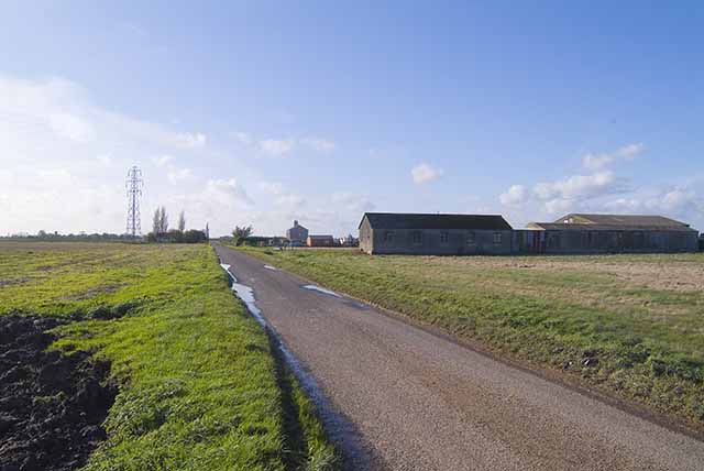
Gedney Dyke Images

Images are sourced within 2km of 52.813777/0.097359 or Grid Reference TF4126. Thanks to Geograph Open Source API. All images are credited.

Old Milestone by A17, Long Sutton Road, beyond end of dual carriageway The Milestone is located on the verge on the South of the road.  Parish of Gedney (South Holland District). Carved stone post, erected by the Holbeach turnpike trust in the 19th Century. An earlier photograph can be found here: <a title="https://www.geograph.org.uk/photo/2730276" href="https://www.geograph.org.uk/photo/2730276">Link</a> 

Inscription reads:-  
TO / SPALDING / 11 / : : TO / HOLBEACH / 3  : : TO / LONG / SUTTON / 2 / MILES 

Grade II listed. List Entry Number: 1064581 <span class="nowrap"><a title="https://historicengland.org.uk/listing/the-list/list-entry/1064581" rel="nofollow ugc noopener" href="https://historicengland.org.uk/listing/the-list/list-entry/1064581">Link</a><img style="margin-left:2px;" alt="External link" title="External link - shift click to open in new window" src="https://s1.geograph.org.uk/img/external.png" width="10" height="10"/></span> 

Milestone Society National ID: LI_HBSU03
Old Milestone by A17, Long Sutton Road, beyond end of dual carriageway
The Milestone is located on the verge on the South of the road.  Parish of Gedney (South Holland District). Carved stone post, erected by the Holbeach turnpike trust in the 19th Century. An earlier photograph can be found here: Link  Inscription reads:- TO / SPALDING / 11 / : : TO / HOLBEACH / 3 : : TO / LONG / SUTTON / 2 / MILES Grade II listed. List Entry Number: 1064581 LinkExternal link Milestone Society National ID: LI_HBSU03
Lutton church
Lutton church
Middle Drove
Middle Drove
Warehouse at Gedney Dyke The buildings are actually in the Parish of Fleet
Warehouse at Gedney Dyke
The buildings are actually in the Parish of Fleet
Lutton Church
Lutton Church
Gedney Dyke Windmill Dated 1836, 68 feet high. See <span class="nowrap"><a title="http://www.lincolnshire.gov.uk/visiting/windmills/other-windmills/south-holland/gedney-dyke-mill/101490.article" rel="nofollow ugc noopener" href="http://www.lincolnshire.gov.uk/visiting/windmills/other-windmills/south-holland/gedney-dyke-mill/101490.article">Link</a><img style="margin-left:2px;" alt="External link" title="External link - shift click to open in new window" src="https://s1.geograph.org.uk/img/external.png" width="10" height="10"/></span>
Gedney Dyke Windmill
Dated 1836, 68 feet high. See LinkExternal link
The Chequers, Gedney Dyke
The 'Roman Bank' road leaving Gedney Dyke Roman Bank is a common name in the Fens, and refers to old embankments supposedly constructed by the Romans.
The 'Roman Bank' road leaving Gedney Dyke
Roman Bank is a common name in the Fens, and refers to old embankments supposedly constructed by the Romans.
Golf course near Hovenden House
Three in a Row Three similar houses overlooking the ploughed field near the greenhouses.  The turbines from the Gedney Marsh Wind Farm <a href="https://www.geograph.org.uk/gridref/TF4228">TF4228</a> can be seen in the distance.
Three in a Row
Three similar houses overlooking the ploughed field near the greenhouses. The turbines from the Gedney Marsh Wind Farm TF4228 can be seen in the distance.
Road Towards Gedney Dyke
View From Green Dike Gedney Marsh Wind Farm on the horizon <a href="https://www.geograph.org.uk/gridref/TF4228">TF4228</a>.
View From Green Dike
Gedney Marsh Wind Farm on the horizon TF4228.
Autumn Colours The last of the gladioli hold on gracefully as autumn takes hold.
Autumn Colours
The last of the gladioli hold on gracefully as autumn takes hold.
Red, Yellow, Pink and Greenhouse Gladioli slowly fade as autumn takes over.
Red, Yellow, Pink and Greenhouse
Gladioli slowly fade as autumn takes over.
Rural Dereliction This once fine house on Roman Bank lies derelict, but it still retains some of its charm.
Rural Dereliction
This once fine house on Roman Bank lies derelict, but it still retains some of its charm.
Letters on Side of Building These old letters are fixed to the brick building at the corner of Roman Bank and Engine Dyke. A wooden sign reads "Barnes Bros.", but what does the "M.T.H." stand for?
Letters on Side of Building
These old letters are fixed to the brick building at the corner of Roman Bank and Engine Dyke. A wooden sign reads "Barnes Bros.", but what does the "M.T.H." stand for?
Village Store and Old Buildings, Gedney Dyke
Show me another place!

Gedney Dyke is located at Grid Ref: TF4126 (Lat: 52.813777, Lng: 0.097359)

Division: Parts of Holland

Administrative County: Lincolnshire

District: South Holland

Police Authority: Lincolnshire

What 3 Words

///plugged.join.opened. Near Fleet, Lincolnshire

Nearby Locations

Gedney Dyke

Related Wikis

Gedney Dyke

Gedney Dyke is a village in the civil parish of Gedney and the South Holland district of Lincolnshire, England. It is 40 miles (64 km) south-east from...

Lutton, Lincolnshire

Lutton (sometimes Lutton-Bourne) is a village and civil parish in the South Holland district of Lincolnshire, England. The population of the civil parish...

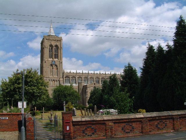
St Mary Magdalene Church, Gedney

St Mary Magdalene Church is an Anglican parish church of medieval origin in Gedney, Lincolnshire. Renowned for its large size in the surrounding low-lying...

Gedney, Lincolnshire

Gedney is a village, civil parish and electoral ward in the South Holland district of Lincolnshire, England. It is just to the south of the A17 Boston...

Nearby Amenities

Located within 500m of 52.813777,0.097359
Fixme: Find 30/NSL speed limit sign
Lat/Long: 52.8111529/0.0928161
Note: fixme: This is an arbitrary point where the road changes from GD to HG and the speed changes as well. Need to sort this out.
Lat/Long: 52.8128248/0.1002437
Gedney Dyke
Is In: Lincolnshire, England, UK
Place: hamlet
Lat/Long: 52.8135345/0.0941217
Bus Stop
The Chequers PH
Bus: yes
Naptan AtcoCode: 2700LGD06293
Naptan Bearing: NE
Naptan CommonName: The Chequers PH
Naptan Indicator: adj
Naptan Landmark: The Chequers PH
Naptan NaptanCode: lingawgp
Naptan Street: Main Street
Naptan Verified: no
Public Transport: platform
Source: naptan_import
Lat/Long: 52.8119221/0.0912583
Bus Stop
The Chequers PH
Bus: yes
Naptan AtcoCode: 2700LGDC3922
Naptan Bearing: SW
Naptan CommonName: The Chequers PH
Naptan Indicator: opp
Naptan Landmark: The Chequers PH
Naptan NaptanCode: lindgpdw
Naptan Street: Main Street
Naptan Verified: no
Public Transport: platform
Source: naptan_import
Lat/Long: 52.8119095/0.0914654
Bus Stop
Post Office
Bus: yes
Naptan AtcoCode: 2700LGDP6191
Naptan Bearing: SW
Naptan CommonName: Post Office
Naptan Indicator: adj
Naptan Landmark: Post Office
Naptan NaptanCode: lingapta
Naptan Street: Main Street
Naptan Verified: no
Public Transport: platform
Source: naptan_import
Lat/Long: 52.8149631/0.0977707
Bus Stop
Post Office
Bus: yes
Naptan AtcoCode: 2700LGDS1534
Naptan Bearing: NE
Naptan CommonName: Post Office
Naptan Indicator: opp
Naptan Landmark: Post Office
Naptan NaptanCode: linamamt
Naptan Street: Main Street
Naptan Verified: no
Public Transport: platform
Source: naptan_import
Lat/Long: 52.815083/0.0975984
Post Box
Collection Times: Mo-Fr 14:45; Sa 09:20
Location: Car Park of 'The Chequers' abandoned public house.
Post Box Type: lamp
Ref: PE12 176
Lat/Long: 52.8121324/0.0913814
Post Box
Collection Times: Mo-Fr 14:45; Sa 11:00
Post Box Type: lamp
Ref: PE12 74
Source: Stop-motion GPS
Lat/Long: 52.8149631/0.0978289
Historic: memorial
Memorial: war_memorial
Source: GPS Survey
Lat/Long: 52.8134/0.0931079
Fire Hydrant
Emergency: fire_hydrant
Lat/Long: 52.8133064/0.0929495
Waste Basket
Waste: dog_excrement
Lat/Long: 52.8132969/0.0929191
Fire Hydrant
Emergency: fire_hydrant
Lat/Long: 52.8118229/0.0913311
Bench
Lat/Long: 52.8127841/0.0920833
Bench
Lat/Long: 52.8133622/0.0931266
White House Farm
Place: farm
Source: Bing
Lat/Long: 52.8143073/0.0941358
Peregrine's Rest
Place: isolated_dwelling
Source: Bing
Lat/Long: 52.8110877/0.101023
The data included in this document is from www.openstreetmap.org. The data is made available under ODbL.

Have you been to Gedney Dyke?

Leave your review of Gedney Dyke below (or comments, questions and feedback).