Gedney Drove End
Settlement in Lincolnshire South Holland
England
Gedney Drove End
Gedney Drove End is a small village located in the county of Lincolnshire, in the eastern part of England. Situated near the Wash, a large bay on the North Sea coast, Gedney Drove End is part of the South Holland district.
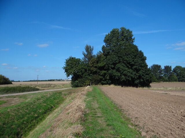
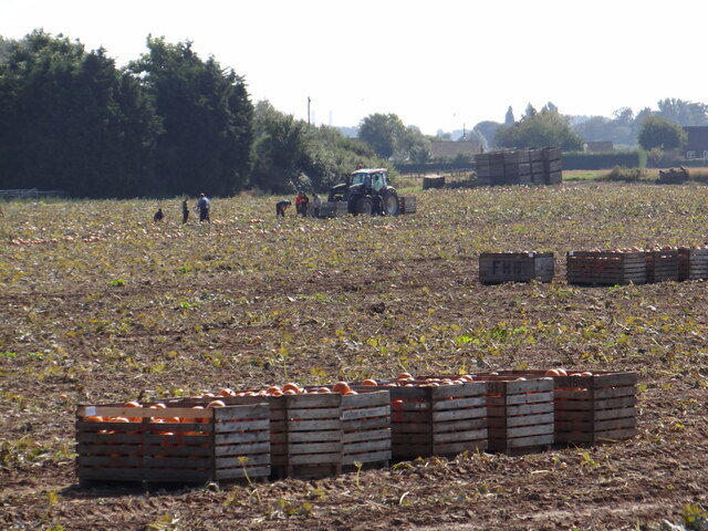
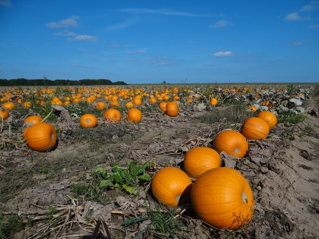
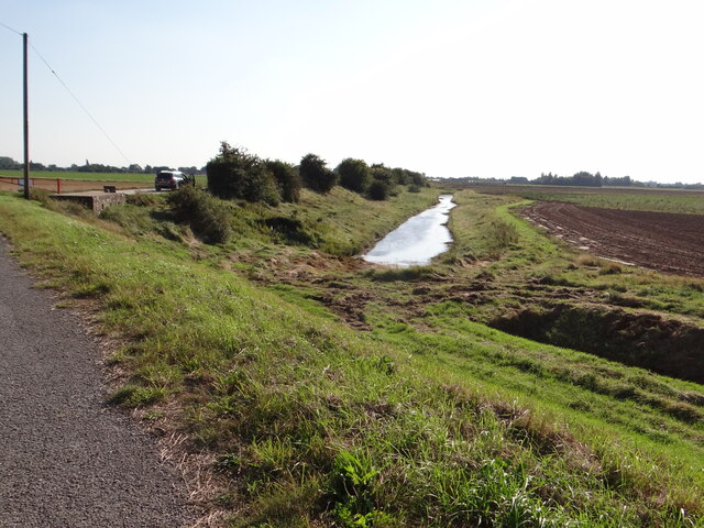
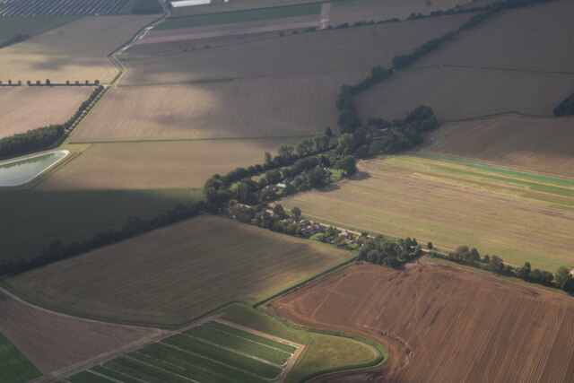
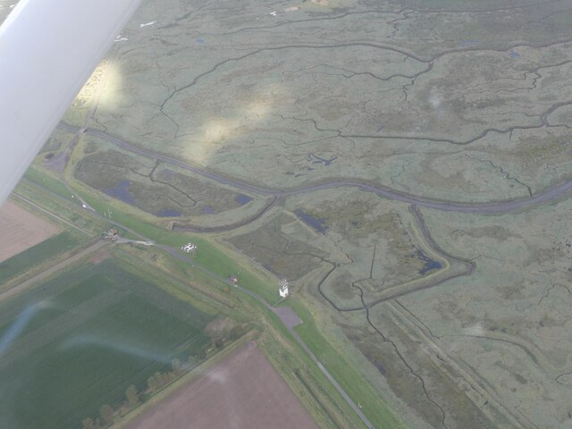
The village is characterized by its rural setting, surrounded by flat, agricultural land and open fields. It has a small population, with just a few hundred residents, and a quiet and peaceful atmosphere. The area is known for its farming activities, particularly arable farming and the cultivation of crops such as wheat and potatoes.
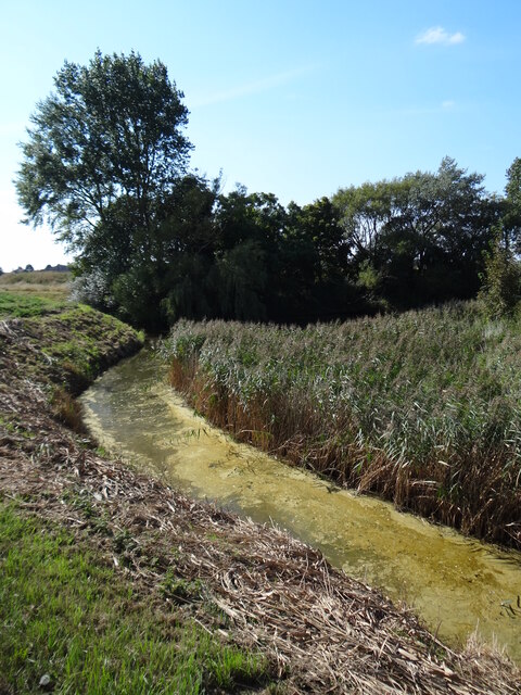
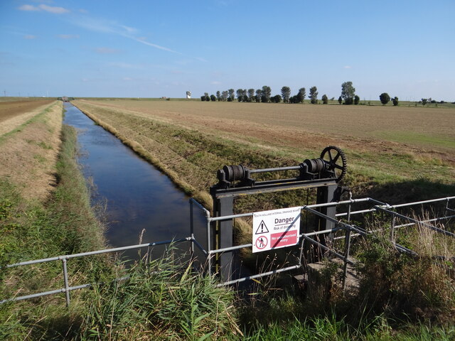
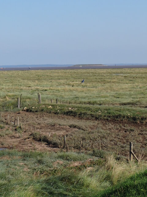
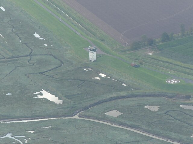
Gedney Drove End is also recognized for its connection to the waterways in the region. The village is situated near the River Nene, which flows through Lincolnshire, and the nearby Wash provides opportunities for wildlife conservation and bird watching.
In terms of amenities, Gedney Drove End has limited facilities. There is a village hall that serves as a community center, hosting various events and activities for residents. The nearest town, Long Sutton, is a short distance away and offers a wider range of services, including shops, schools, and medical facilities.
Overall, Gedney Drove End offers a tranquil and picturesque setting for those seeking a peaceful rural lifestyle, with easy access to the natural beauty of the Wash and the agricultural activities of the surrounding area.
If you have any feedback on the listing, please let us know in the comments section below.
Gedney Drove End Images
Images are sourced within 2km of 52.842043/0.165544 or Grid Reference TF4529. Thanks to Geograph Open Source API. All images are credited.


Gedney Drove End is located at Grid Ref: TF4529 (Lat: 52.842043, Lng: 0.165544)
Division: Parts of Holland
Administrative County: Lincolnshire
District: South Holland
Police Authority: Lincolnshire
What 3 Words
///distorts.venue.fells. Near Sutton Bridge, Lincolnshire
Nearby Locations
Related Wikis

Gedney Drove End
Gedney Drove End is a village in the civil parish of Gedney and the South Holland district of Lincolnshire, England. It is 40 miles (64 km) south-east...

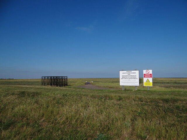
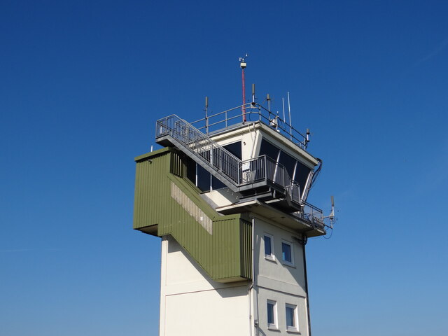
Holbeach Air Weapons Range
Holbeach Air Weapons Range is a United Kingdom Ministry of Defence academic air weapons range (AWR) situated between Boston and King's Lynn in the civil...

River Nene
The River Nene ( or : see below) is a river in the east of England that rises from three sources in Northamptonshire. The river is about 105 miles (169...

Lutton, Lincolnshire
Lutton (sometimes Lutton-Bourne) is a village and civil parish in the South Holland district of Lincolnshire, England. The population of the civil parish...
Nearby Amenities
Located within 500m of 52.842043,0.165544Have you been to Gedney Drove End?
Leave your review of Gedney Drove End below (or comments, questions and feedback).