Loch Beag Bhuirgh

Lake, Pool, Pond, Freshwater Marsh in Inverness-shire

Scotland

Loch Beag Bhuirgh

Machair on Berneray Sandy grassland behind West Beach.
Machair on Berneray Credit: Hugh Venables

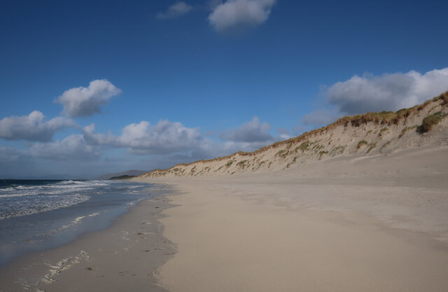
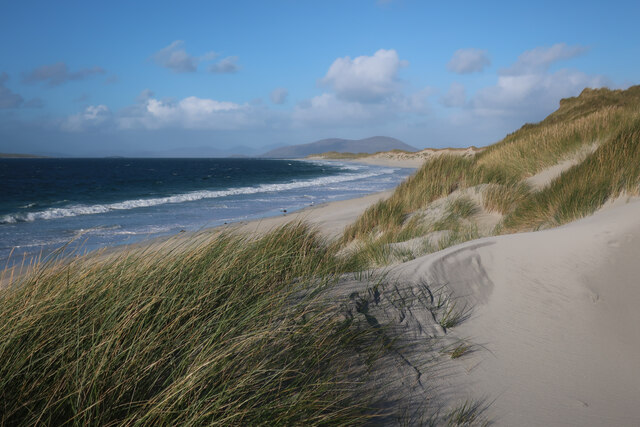
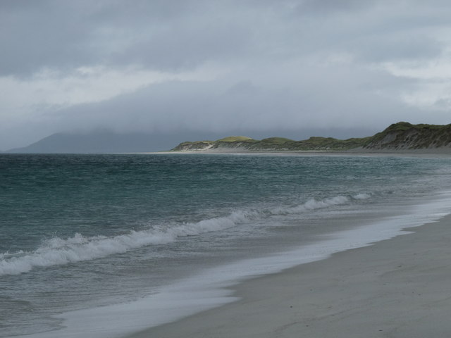
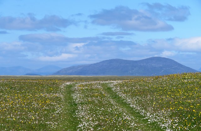
Loch Beag Bhuirgh is a small freshwater lake located in Inverness-shire, Scotland. Situated in a remote and picturesque area, it offers a tranquil and serene environment for visitors to enjoy. The loch is surrounded by lush green hills and dense forests, providing a stunning backdrop for nature enthusiasts.

Measuring approximately 1 kilometer in length and 500 meters in width, Loch Beag Bhuirgh is relatively small compared to other nearby bodies of water. Its depth averages around 10 meters, making it suitable for various recreational activities such as fishing and boating. The lake is known for its abundance of freshwater fish species, including trout and perch, attracting anglers from far and wide.

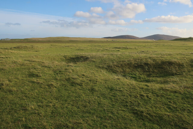
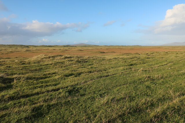
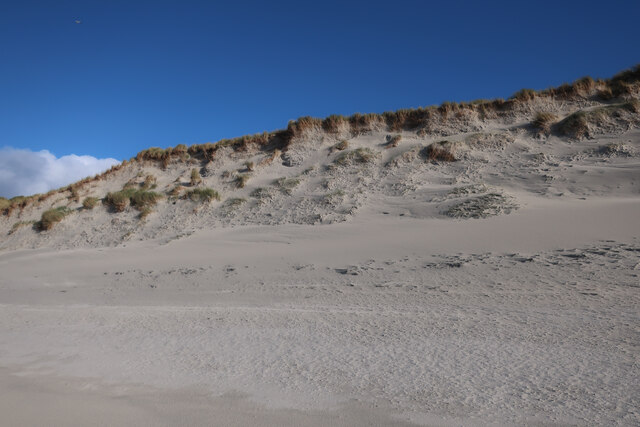
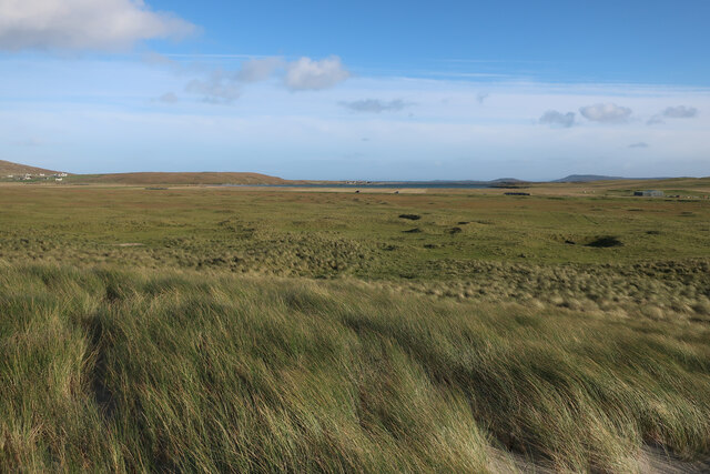
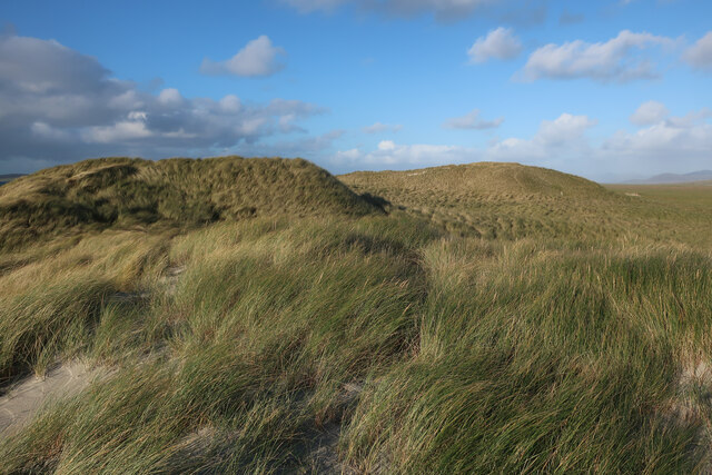
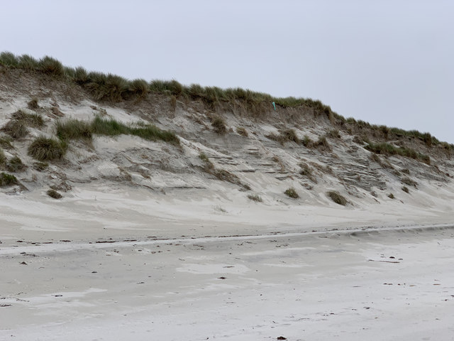
The shores of Loch Beag Bhuirgh are lined with reeds and grasses, creating a natural habitat for numerous bird species. Birdwatchers can spot a variety of avian creatures, including ducks, swans, herons, and even the occasional osprey. The surrounding marshland also provides a haven for other wildlife, such as otters, voles, and various amphibians.

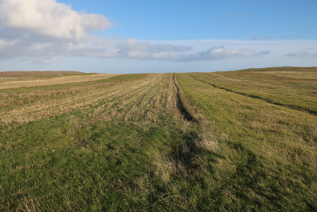
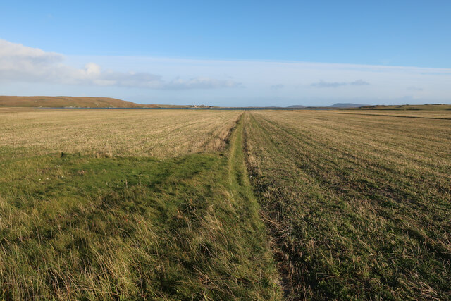
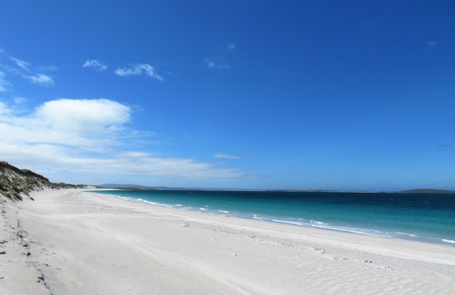
Access to Loch Beag Bhuirgh is fairly limited due to its remote location. However, a small parking area and a footpath lead visitors to the lake's edge, allowing for peaceful walks and picnics by the water. The lack of commercial development in the area ensures a pristine and untouched environment, providing a true escape from the hustle and bustle of everyday life.

Overall, Loch Beag Bhuirgh offers a tranquil and natural setting, perfect for those seeking a peaceful retreat in the heart of the Scottish Highlands. Its scenic beauty and diverse wildlife make it a must-visit destination for nature lovers and outdoor enthusiasts alike.

If you have any feedback on the listing, please let us know in the comments section below.

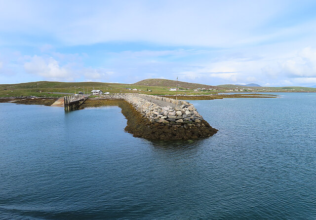
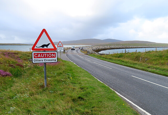
Loch Beag Bhuirgh Images

Images are sourced within 2km of 57.718758/-7.1872684 or Grid Reference NF9181. Thanks to Geograph Open Source API. All images are credited.

Machair on Berneray Sandy grassland behind West Beach.
Machair on Berneray
Sandy grassland behind West Beach.
Stubble field on Berneray
Stubble fields, Berneray
Machair on Berneray
Machair on Berneray
West Beach, Berneray
Dune front, Berneray The dunes in this section of the beach are eroding back slightly, but others stretches are growing as the sand moves around.
Dune front, Berneray
The dunes in this section of the beach are eroding back slightly, but others stretches are growing as the sand moves around.
West Beach, Berneray
Machair behind Berneray West Beach Fairly flat sandy grassland behind the dune ridge.
Machair behind Berneray West Beach
Fairly flat sandy grassland behind the dune ridge.
Sand dunes by Berneray West Beach
The western beach of Berneray
Track across the machair The machair on Berneray is as fine as anywhere along the Western Isles. The colours are mostly white and yellow from daisies, clover and buttercups, whilst the clover fills the air with a sweet perfume.
Track across the machair
The machair on Berneray is as fine as anywhere along the Western Isles. The colours are mostly white and yellow from daisies, clover and buttercups, whilst the clover fills the air with a sweet perfume.
Berneray west beach Looking south. Boreray is off to the right, but looks insignificant in this wide angle shot.
Berneray west beach
Looking south. Boreray is off to the right, but looks insignificant in this wide angle shot.
Dunes, Berneray West Beach
Agricultural building, South Berneray Close to the end of the motor road that runs south-west from the west end of Borgh.
Agricultural building, South Berneray
Close to the end of the motor road that runs south-west from the west end of Borgh.
The Berneray Ferry Terminal A view of the Berneray Ferry terminal taken from the adjacent causeway. The Calmac Ferry 'Loch Portain' can be seen moored at the slipway.
The Berneray Ferry Terminal
A view of the Berneray Ferry terminal taken from the adjacent causeway. The Calmac Ferry 'Loch Portain' can be seen moored at the slipway.
Approaching Berneray/Bearnaraigh
Berneray Pier Seen from the deck of MV 'Lochportain'.
Berneray Pier
Seen from the deck of MV 'Lochportain'.
Berneray Causeway The construction of the causeway linking the island to North Uist in the 1990s made life much easier for the human residents of Berneray, but possibly not for the otter population.
Berneray Causeway
The construction of the causeway linking the island to North Uist in the 1990s made life much easier for the human residents of Berneray, but possibly not for the otter population.
Show me another place!

Loch Beag Bhuirgh is located at Grid Ref: NF9181 (Lat: 57.718758, Lng: -7.1872684)

Unitary Authority: Na h-Eileanan an Iar

Police Authority: Highlands and Islands

What 3 Words

///bend.glory.reactions. Near Leverburgh, Na h-Eileanan Siar

Related Wikis

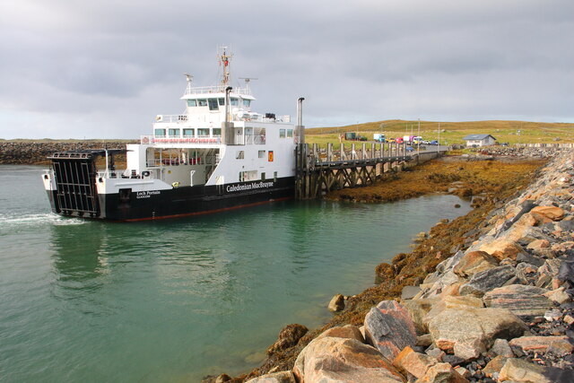
Berneray (North Uist)

Berneray (Scottish Gaelic: Beàrnaraigh na Hearadh) is an island and community in the Sound of Harris, Scotland. It is one of fifteen inhabited islands...

Otternish

Otternish is the former North Uist terminal for the ferry to Berneray, in the Outer Hebrides, Scotland. The slipway lies 6 miles (10 km) north of Lochmaddy...
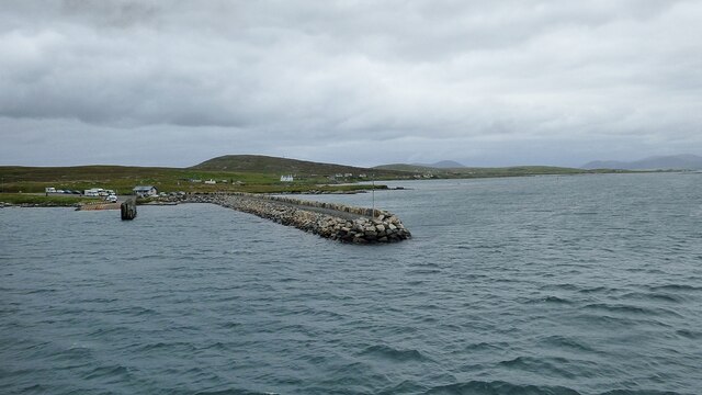
Newtonferry

Newtonferry (Scottish Gaelic: Port nan Long, "the harbour of the ships") is a small crofting community on the island of North Uist in the Western Isles...

Dun an Sticir

Dun an Sticir (Scottish Gaelic: Dùn an Sticir [ˈt̪un əɲ ˈʃtʲiçkʲɪɾʲ]) is an Iron Age broch situated approximately 9.5 kilometers north of Lochmaddy in...

Nearby Amenities

Located within 500m of 57.718758,-7.1872684
Barrier: cattle_grid
Lat/Long: 57.7146662/-7.1858455
Barrier: stile
Stile: stepover
Lat/Long: 57.7151197/-7.1912418
Information: guidepost
Symbol: yellow bar
Tourism: information
Lat/Long: 57.7168794/-7.194883
Man Made: sheep_dip
Lat/Long: 57.7211596/-7.1865901
Sgalabraig
Place: locality
Lat/Long: 57.717014/-7.1935988
Information: guidepost
Symbol: Yellow Bar
Tourism: information
Lat/Long: 57.71512/-7.1912456
Power: pole
Lat/Long: 57.7144872/-7.1854939
The data included in this document is from www.openstreetmap.org. The data is made available under ODbL.

Have you been to Loch Beag Bhuirgh?

Leave your review of Loch Beag Bhuirgh below (or comments, questions and feedback).