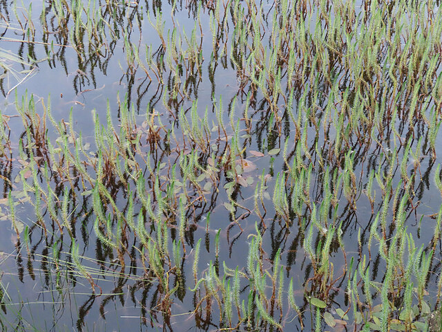
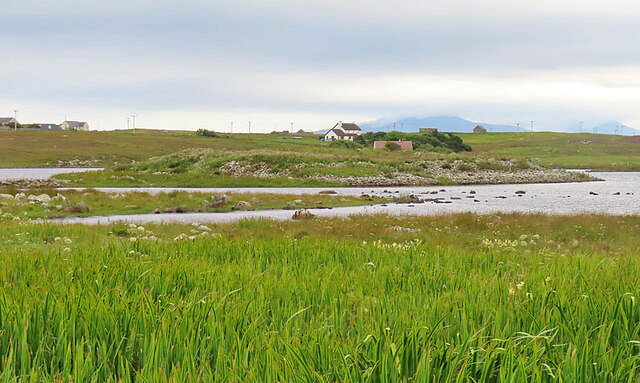
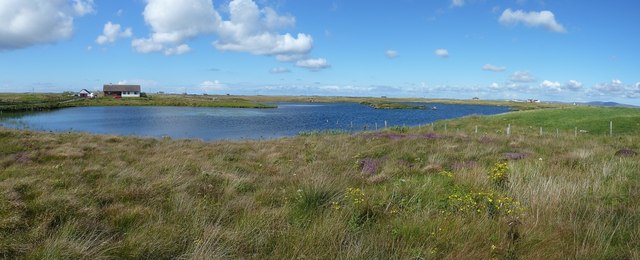
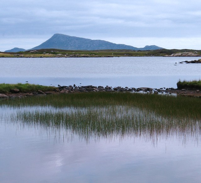
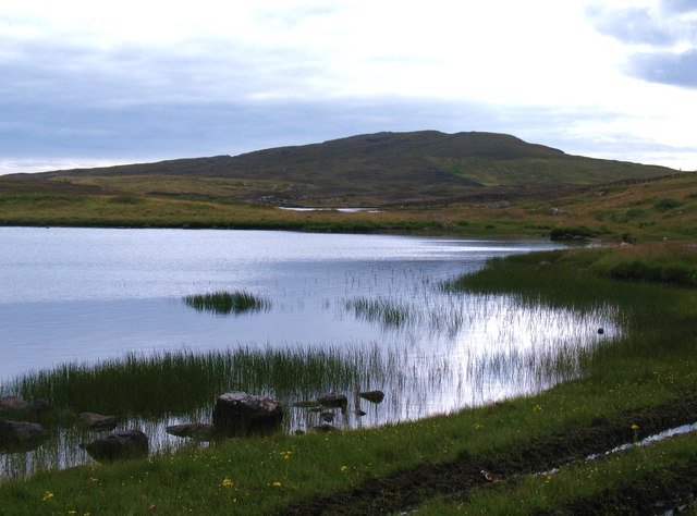
Lòn Gorm

Lake, Pool, Pond, Freshwater Marsh in Inverness-shire

Scotland

Lòn Gorm

BEA Vickers Viscount at Benbecula Airfield
BEA Vickers Viscount at Benbecula Airfield Credit: Alan Reid

The requested URL returned error: 429 Too Many Requests

If you have any feedback on the listing, please let us know in the comments section below.
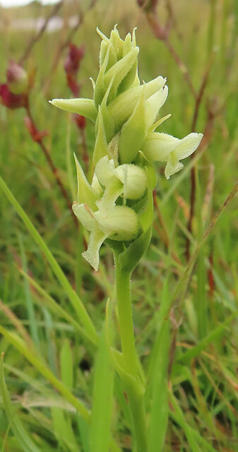
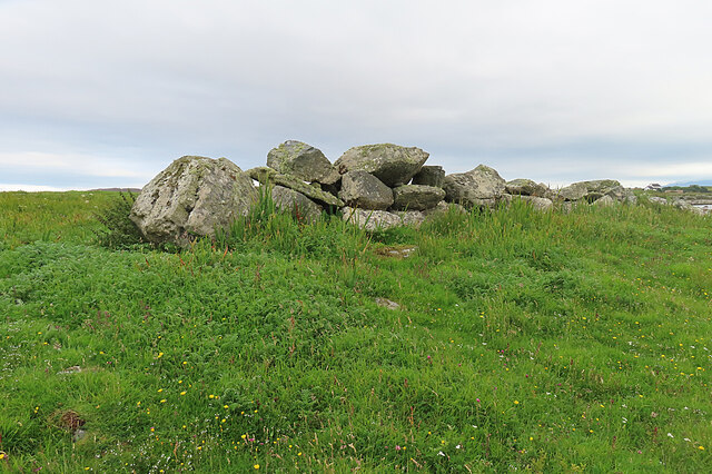
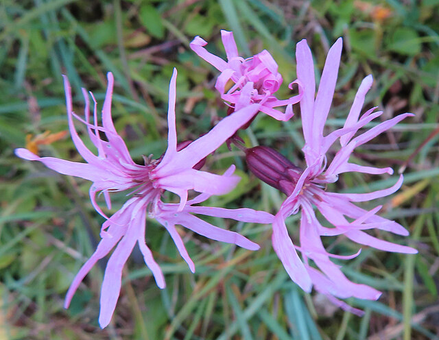
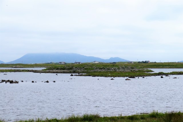
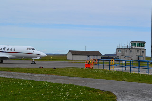
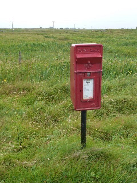
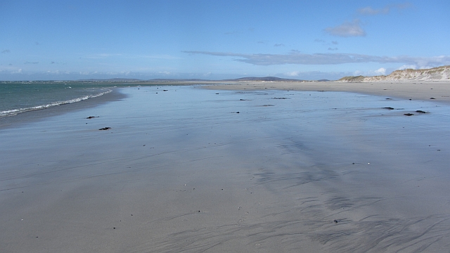
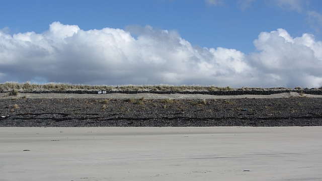
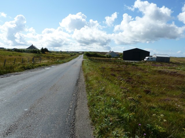
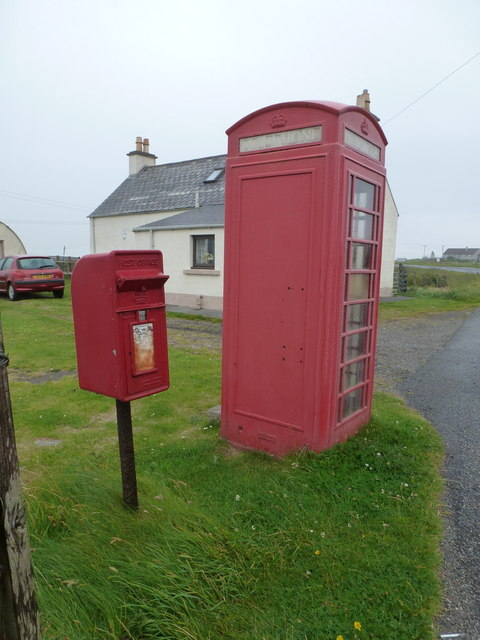
Lòn Gorm Images

Images are sourced within 2km of 57.481794/-7.340142 or Grid Reference NF8056. Thanks to Geograph Open Source API. All images are credited.

BEA Vickers Viscount at Benbecula Airfield
Marestail (Hippuris vulgaris) A plant that always grows in water, for once conveniently close enough to the land to be photographed.
Marestail (Hippuris vulgaris)
A plant that always grows in water, for once conveniently close enough to the land to be photographed.
Irish Lady's-tresses (Spiranthes romanzoffiana) A member of the orchid family, with a very western distribution.
Irish Lady's-tresses (Spiranthes romanzoffiana)
A member of the orchid family, with a very western distribution.
Dùn Buidhe The 'yellow fort' is on a peninsula, almost an islet, in Loch Dùn Mhurchaidh.
Dùn Buidhe
The 'yellow fort' is on a peninsula, almost an islet, in Loch Dùn Mhurchaidh.
Boulder Dyke On a peninsula in Loch Dùn Mhurchaidh.
Boulder Dyke
On a peninsula in Loch Dùn Mhurchaidh.
Ragged Robin (Silene flos-cuculi) Previously known as Lychnis flos-cuculi.
Ragged Robin (Silene flos-cuculi)
Previously known as Lychnis flos-cuculi.
Dun Buidhe The dun is situated on the further island, and although there's a lot of stones around it, one would be hard pressed to identify anything of a built nature.
Dun Buidhe
The dun is situated on the further island, and although there's a lot of stones around it, one would be hard pressed to identify anything of a built nature.
Control tower and apron, Benbecula Airport
Uachdar: postbox № HS6 29 This small postbox is comfortably within the HS7 postcode district (Benbecula), but has an HS6 (North Uist) number. It is emptied at 2pm on weekdays and at 9:45am on Saturdays.
Uachdar: postbox № HS6 29
This small postbox is comfortably within the HS7 postcode district (Benbecula), but has an HS6 (North Uist) number. It is emptied at 2pm on weekdays and at 9:45am on Saturdays.
Beach, Baile a' Mhanaich The beach beside the airport.
Beach, Baile a' Mhanaich
The beach beside the airport.
Sea defences, Benbecula Airport The dunes have been firmed up on the airport perimeter. The map suggests that coastal erosion is in progress here.
Sea defences, Benbecula Airport
The dunes have been firmed up on the airport perimeter. The map suggests that coastal erosion is in progress here.
A865 south of Loch na Smalaig, Benbecula The A865 runs through the centre of the loch-laced flat isle of Benbecula. The large dark green shed or barn seen on the right is just beyond the track to Ardgarbh, and must be quite recent as it does not appear on Google's Streetview (see <span class="nowrap"><a title="http://maps.google.com/maps?q=Gramsdale,+Benbecula&hl=en&ll=57.47317,-7.32846&spn=0.000023,0.027788&sll=41.890062,12.492549&sspn=0.004394,0.006947&vpsrc=6&hnear=Gramsdale,+Isle+Of+Benbecula,+Eilean+Siar,+United+Kingdom&t=h&z=16&layer=c&cbll=57.473554,-7.3282&panoid=nm1zCQ5DOfBW2LblAN-U4g&cbp=12,203.83,,0,13.56" rel="nofollow ugc noopener" href="http://maps.google.com/maps?q=Gramsdale,+Benbecula&hl=en&ll=57.47317,-7.32846&spn=0.000023,0.027788&sll=41.890062,12.492549&sspn=0.004394,0.006947&vpsrc=6&hnear=Gramsdale,+Isle+Of+Benbecula,+Eilean+Siar,+United+Kingdom&t=h&z=16&layer=c&cbll=57.473554,-7.3282&panoid=nm1zCQ5DOfBW2LblAN-U4g&cbp=12,203.83,,0,13.56">Link</a><img style="margin-left:2px;" alt="External link" title="External link - shift click to open in new window" src="https://s1.geograph.org.uk/img/external.png" width="10" height="10"/></span> ) 
Note: The maps show "Shieling" just south of this point, but that simply means roughly constructed hut or pasture for cattle, and is not a placename.
A865 south of Loch na Smalaig, Benbecula
The A865 runs through the centre of the loch-laced flat isle of Benbecula. The large dark green shed or barn seen on the right is just beyond the track to Ardgarbh, and must be quite recent as it does not appear on Google's Streetview (see LinkExternal link ) Note: The maps show "Shieling" just south of this point, but that simply means roughly constructed hut or pasture for cattle, and is not a placename.
Loch na Smalaig Benbecula doesn't get rave reviews in most of the guidebooks, which generally urge the visitor on to the delights of the Uists to north and south. But on a beautiful sunny day like this, the inky blue lochs and lochans have a distinct charm.
The house on the left is Ardgarbh with its track forming the southern border of the loch.
Loch na Smalaig
Benbecula doesn't get rave reviews in most of the guidebooks, which generally urge the visitor on to the delights of the Uists to north and south. But on a beautiful sunny day like this, the inky blue lochs and lochans have a distinct charm. The house on the left is Ardgarbh with its track forming the southern border of the loch.
Loch Olabhat A shallow loch, almost at sea level and with numerous small islands. Looking towards the distinctive profile of Eabhal on North Uist.
Loch Olabhat
A shallow loch, almost at sea level and with numerous small islands. Looking towards the distinctive profile of Eabhal on North Uist.
Loch Olabhat An unpleasantly wet track leads from the road down to this reedy loch.
Loch Olabhat
An unpleasantly wet track leads from the road down to this reedy loch.
Gramsdale: postbox № HS6 40 and phone One of several postboxes which seem to have a prefix misnomer - being on Benbecula, this box is actually in the HS7, not HS6, postcode district. It stands alongside a red telephone box and this may be evidence that the post office, which opened in the summer of 1935 and closed on 5 October 1974, was in the adjacent house.
Gramsdale: postbox № HS6 40 and phone
One of several postboxes which seem to have a prefix misnomer - being on Benbecula, this box is actually in the HS7, not HS6, postcode district. It stands alongside a red telephone box and this may be evidence that the post office, which opened in the summer of 1935 and closed on 5 October 1974, was in the adjacent house.
Benbecula Golf club These buildings form part of Benbecula golf club, beside the taxi-way at the airport.
Benbecula Golf club
These buildings form part of Benbecula golf club, beside the taxi-way at the airport.
Benbecula Airport runway looking south west from the point where most planes land.
Benbecula Airport runway
looking south west from the point where most planes land.
Show me another place!

Lòn Gorm is located at Grid Ref: NF8056 (Lat: 57.481794, Lng: -7.340142)

Unitary Authority: Na h-Eileanan an Iar

Police Authority: Highlands and Islands

What 3 Words

///promoted.paving.redeeming. Near Balivanich, Na h-Eileanan Siar

Related Wikis

Uachdar

Uachdar (Scottish Gaelic: An t-Uachdar [ən̪ˠ ˈt̪ʰuəxkəɾ]) is a settlement on the Outer Hebridean Island of Benbecula. Uachdar is within the parish of South...
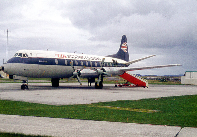
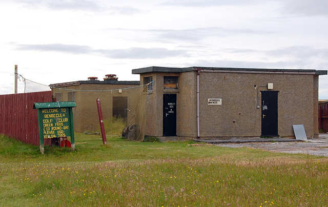
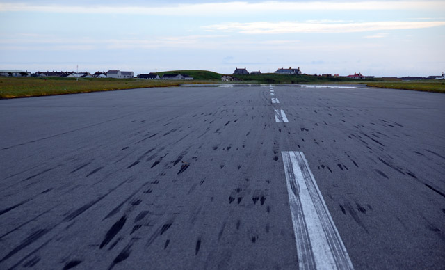
Benbecula Airport

Benbecula Airport (Scottish Gaelic: Port-adhair Bheinn na Faoghla) (IATA: BEB, ICAO: EGPL) is located on the island of Benbecula in the Outer Hebrides...

Balivanich

Balivanich (Scottish Gaelic: Baile a' Mhanaich [palə ˈvanɪç]) is a village on the island of Benbecula in the Outer Hebrides off the west coast of Scotland...
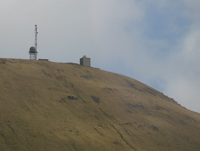
Deep Sea Range

The Deep Sea Range is an RAF missile range in the Outer Hebrides. It has also been known as the Hebrides Guided Weapon Range and the South Uist Missile...

Nearby Amenities

Located within 500m of 57.481794,-7.340142
Created By: dmgroom_coastlines
Lat/Long: 57.48573/-7.34153
Created By: dmgroom_coastlines
Lat/Long: 57.48574/-7.34201
Created By: dmgroom_coastlines
Lat/Long: 57.486/-7.342
Created By: dmgroom_coastlines
Lat/Long: 57.48599/-7.34152
Created By: dmgroom_coastlines
Lat/Long: 57.48549/-7.34249
Created By: dmgroom_coastlines
Lat/Long: 57.4855/-7.34344
Created By: dmgroom_coastlines
Lat/Long: 57.48577/-7.34343
Created By: dmgroom_coastlines
Lat/Long: 57.48588/-7.34295
Created By: dmgroom_coastlines
Lat/Long: 57.486/-7.34247
Bus Stop
Dunganachy
Naptan AtcoCode: 6010731636
Naptan Bearing: W
Naptan CommonName: Dunganachy
Naptan Indicator: B892 Junction
Naptan Landmark: B892 Junction
Naptan NaptanCode: 94723527
Naptan Street: B892 Junction
Naptan Verified: no
Source: naptan_import
Lat/Long: 57.4796467/-7.3473959
Bus Stop
Uachdar
Bus: yes
Naptan AtcoCode: 6010731866
Naptan Bearing: E
Naptan CommonName: Uachdar
Naptan Indicator: Village
Naptan Landmark: Village
Naptan NaptanCode: 94723526
Naptan Street: Village
Naptan Verified: no
Public Transport: platform
Source: naptan_import
Lat/Long: 57.4795087/-7.3425868
Post Box
Lat/Long: 57.4797233/-7.3472659
Barrier: cattle_grid
Lat/Long: 57.4794178/-7.343368
Barrier: cattle_grid
Lat/Long: 57.4797869/-7.3473832
An t-Uachdar
Name En: Uachdar
Name Gd: An t-Uachdar
Place: village
Wikidata: Q7876328
Wikipedia: en:Uachdar
Lat/Long: 57.4788576/-7.3342216
Power: pole
Lat/Long: 57.4788237/-7.3458759
Power: pole
Lat/Long: 57.4788053/-7.3447276
Power: pole
Lat/Long: 57.4787995/-7.3423924
Power: pole
Lat/Long: 57.4787983/-7.3410884
Power: pole
Lat/Long: 57.4787889/-7.3399505
Power: pole
Lat/Long: 57.4787947/-7.3385756
Power: pole
Lat/Long: 57.4787895/-7.3374759
Power: pole
Lat/Long: 57.4788305/-7.3360736
Power: pole
Lat/Long: 57.4788453/-7.3352965
Power: pole
Lat/Long: 57.478851/-7.3345321
Power: pole
Lat/Long: 57.4789702/-7.3352606
Power: pole
Lat/Long: 57.4794844/-7.3359173
Power: pole
Lat/Long: 57.4794304/-7.3369352
Power: pole
Lat/Long: 57.4793915/-7.3376862
Power: pole
Lat/Long: 57.4793538/-7.3382707
Power: pole
Lat/Long: 57.479404/-7.3387514
Power: pole
Lat/Long: 57.4794981/-7.3395558
Power: pole
Lat/Long: 57.4796399/-7.3403539
Power: pole
Lat/Long: 57.4797024/-7.340905
Power: pole
Lat/Long: 57.4784616/-7.334606
Passing Place
Lat/Long: 57.4788799/-7.346123
Barrier: cattle_grid
Lat/Long: 57.4797561/-7.3456715
Barrier: cattle_grid
Lat/Long: 57.4795267/-7.3457528
Power: pole
Lat/Long: 57.4805413/-7.3371656
Power: pole
Lat/Long: 57.4799162/-7.3364199
Power: pole
Lat/Long: 57.4809919/-7.3370087
Power: pole
Lat/Long: 57.4813293/-7.3368719
Power: pole
Lat/Long: 57.4819017/-7.3365849
Power: pole
Lat/Long: 57.4825376/-7.3362657
Power: pole
Lat/Long: 57.4831821/-7.3359358
Power: pole
Lat/Long: 57.4836579/-7.3356863
Power: pole
Lat/Long: 57.4842173/-7.3354476
The data included in this document is from www.openstreetmap.org. The data is made available under ODbL.

Have you been to Lòn Gorm?

Leave your review of Lòn Gorm below (or comments, questions and feedback).