Otter Point
Coastal Feature, Headland, Point in Shetland
Scotland
Otter Point
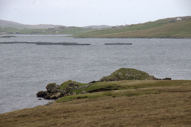
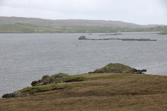
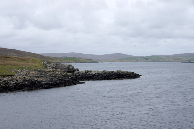
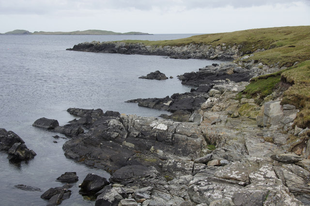
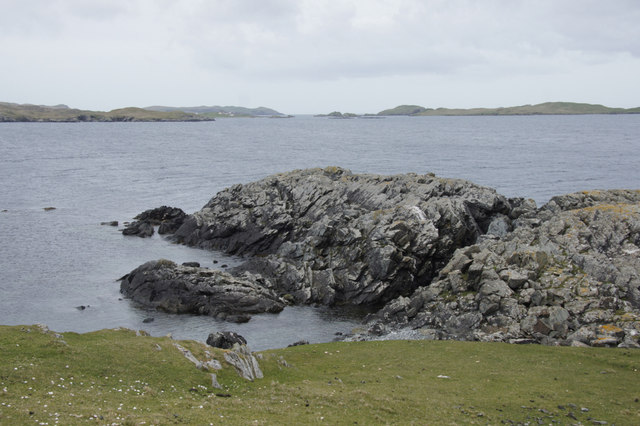
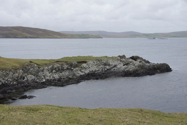
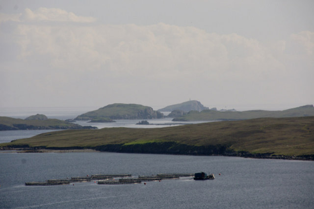
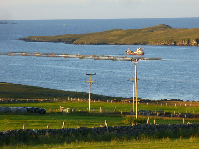
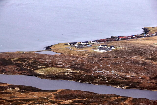
Otter Point is a prominent coastal feature located on the Shetland Islands in Scotland. Situated on the western coast of the main Shetland island, it is known for its stunning natural beauty and rugged landscape.
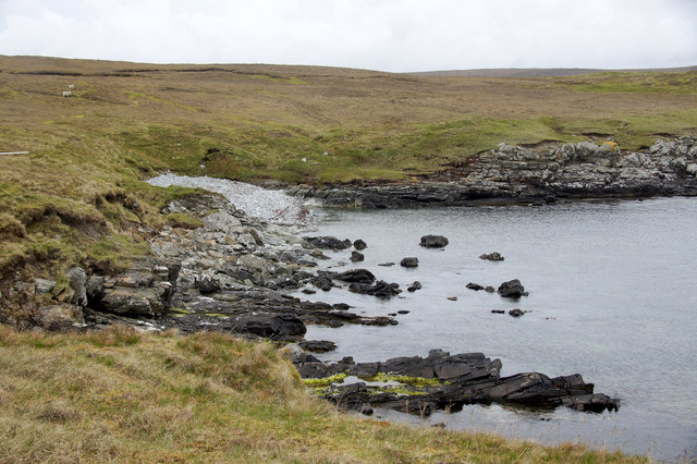
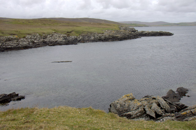
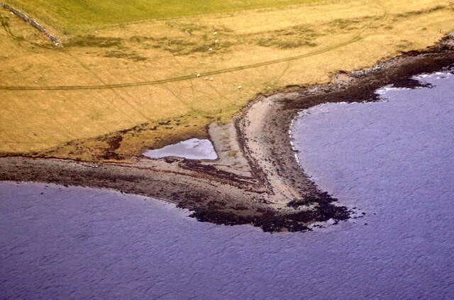
As a headland, Otter Point juts out into the North Atlantic Ocean, offering breathtaking views of the surrounding sea and coastline. It is characterized by its high cliffs, which are composed of sedimentary rocks such as sandstone and shale. These cliffs have been shaped by thousands of years of coastal erosion, resulting in dramatic formations and unique rock features.
The area surrounding Otter Point is rich in biodiversity, with various plant species thriving on the cliffs and heathlands. The headland is particularly noteworthy for its diverse birdlife, with species such as puffins, guillemots, and fulmars nesting along the cliffs during the breeding season. Otters, after which the point is named, can also be spotted in the surrounding waters, adding to the area's appeal for wildlife enthusiasts.
Access to Otter Point is primarily by foot, with a well-maintained coastal path leading to the headland. Visitors can enjoy leisurely walks along the cliff tops, taking in the panoramic views and observing the abundant wildlife. The area is also popular for photography, as the ever-changing light and weather conditions create a dynamic backdrop for capturing the natural beauty of the point.
Overall, Otter Point is a stunning coastal feature with its rugged cliffs, diverse wildlife, and picturesque scenery. It offers a unique opportunity to experience the untamed beauty of the Shetland Islands' coastline.
If you have any feedback on the listing, please let us know in the comments section below.
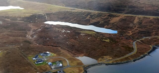
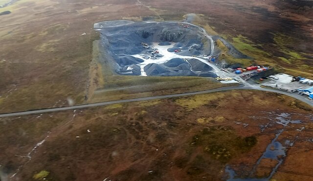
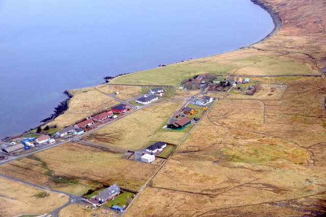
Otter Point Images
Images are sourced within 2km of 60.221614/-1.195582 or Grid Reference HU4448. Thanks to Geograph Open Source API. All images are credited.
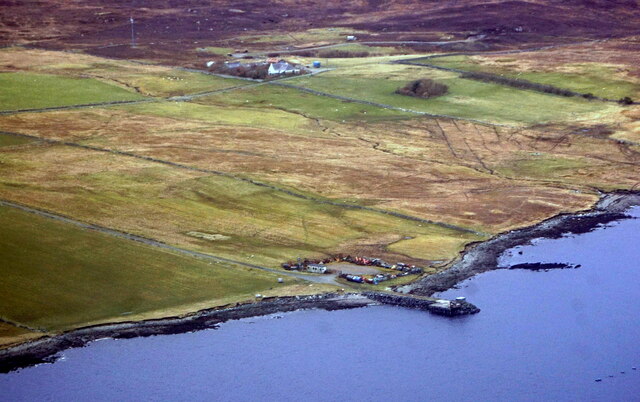
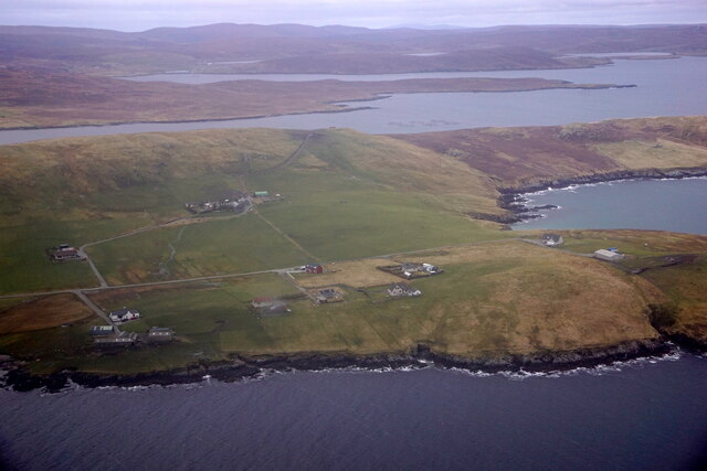
Otter Point is located at Grid Ref: HU4448 (Lat: 60.221614, Lng: -1.195582)
Unitary Authority: Shetland Islands
Police Authority: Highlands and Islands
What 3 Words
///juniors.pass.spouting. Near Lerwick, Shetland Islands
Nearby Locations
Related Wikis

Breiwick
Breiwick is a village on the island of Mainland in Shetland, Scotland. Breiwick is in the parish of Tingwall, and is 1.6 mi (2.5 km) north-east of Gott...

South Isle of Gletness
The South Isle of Gletness is an islet off Gletness, in Nesting in east central, Mainland, Shetland. It is 30m at its highest point. Amongst its features...

North Isle of Gletness
The North Isle of Gletness is one of the Shetland Islands. It is east of the Shetland Mainland, near Gletness in Nesting parish, and is so called in contradistinction...

Tingwall Airport
Tingwall Airport (IATA: LWK, ICAO: EGET), also known as Lerwick/Tingwall Airport, is located in the Tingwall valley, near the village of Gott, 4 NM (7...
Have you been to Otter Point?
Leave your review of Otter Point below (or comments, questions and feedback).