The Pulpit
Coastal Feature, Headland, Point in East Lothian
Scotland
The Pulpit
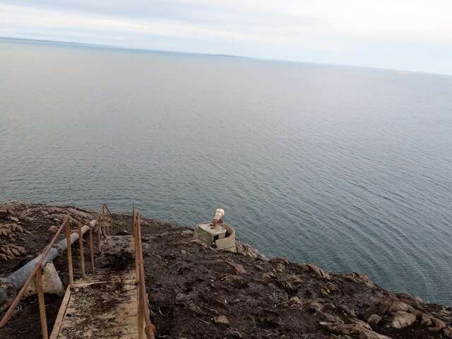
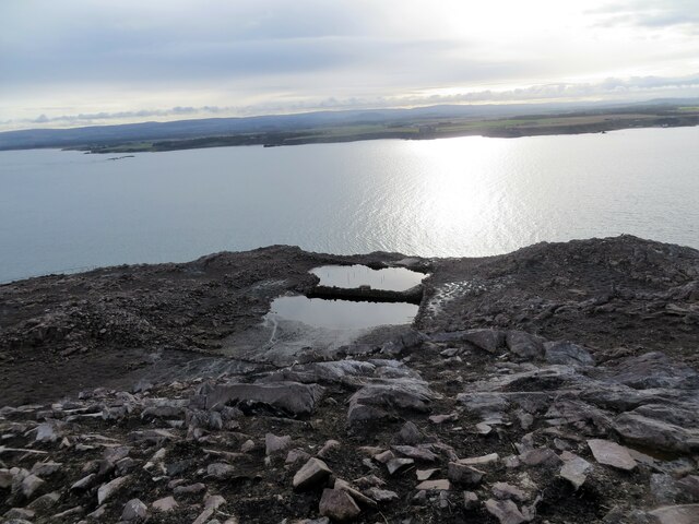
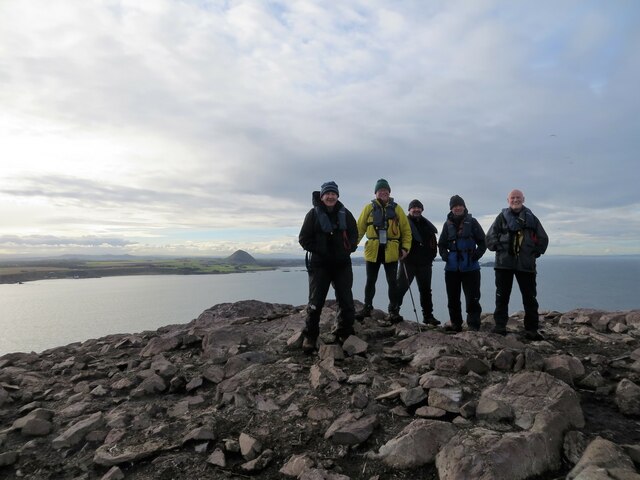
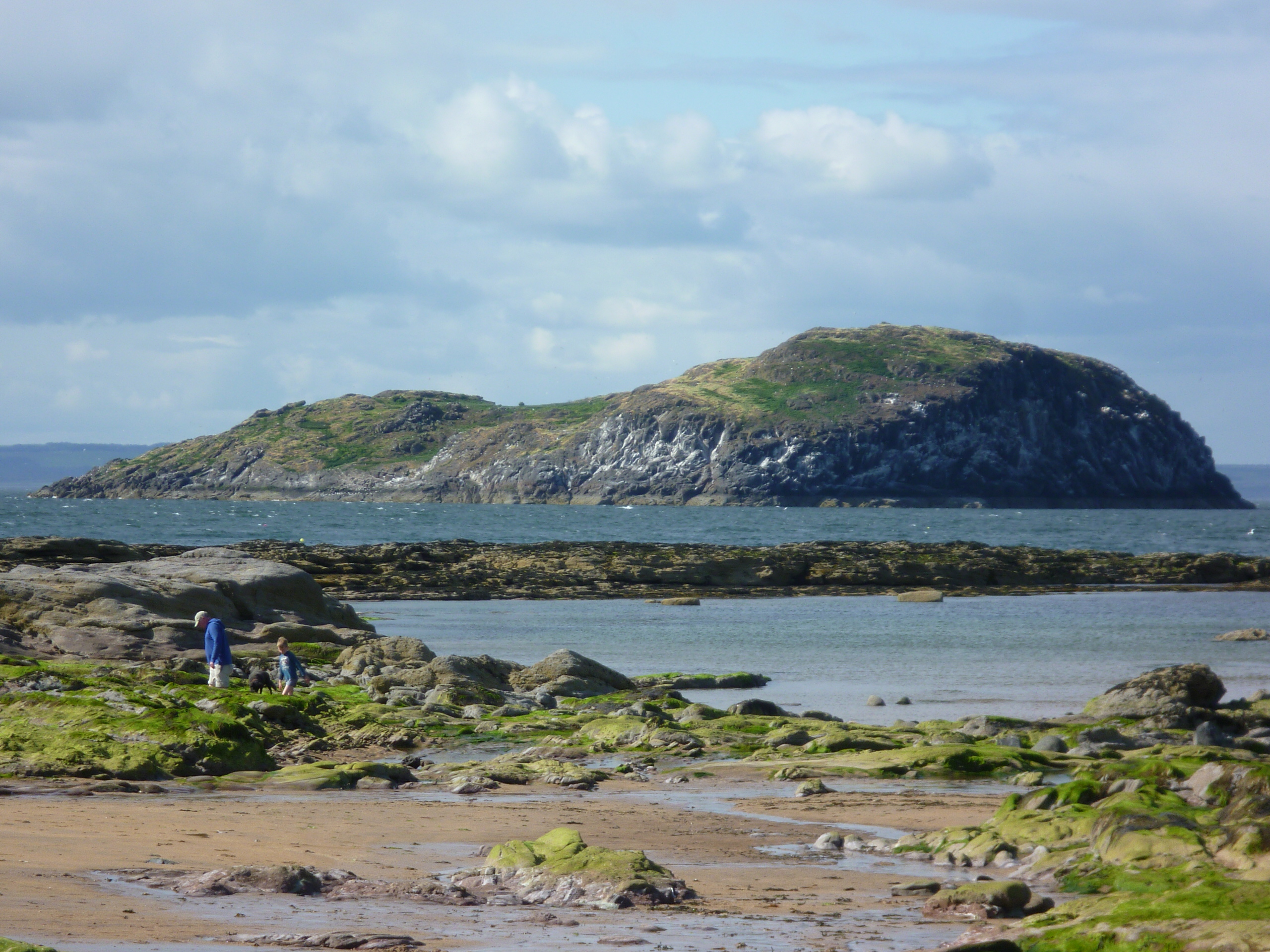
The Pulpit, located in East Lothian, Scotland, is a prominent coastal feature known for its striking headland and dramatic cliffs. Situated on the eastern coast of the country, this point offers breathtaking views of the North Sea and the surrounding landscape.
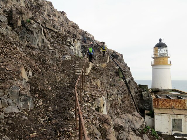
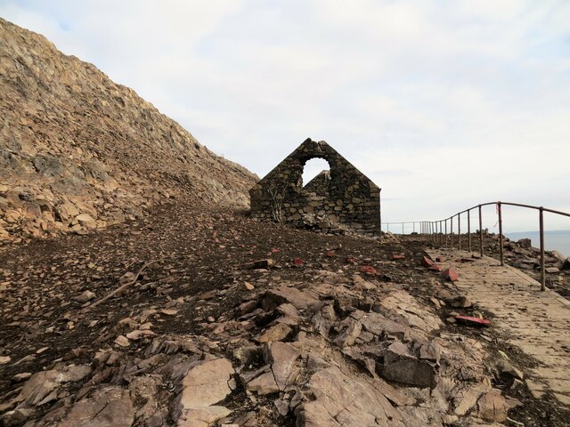
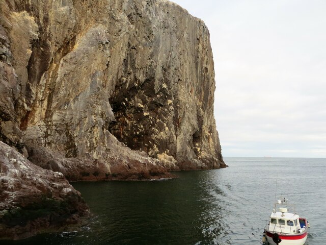
The Pulpit is a rugged and rocky headland that juts out into the sea, forming a natural promontory. It is characterized by steep cliffs that rise to a considerable height, providing a vantage point to observe the crashing waves below. The name "The Pulpit" is derived from the distinctive shape of the rock formation, which resembles a church pulpit.
Visitors to The Pulpit can access the site via a well-maintained footpath that winds along the cliffside, offering a safe and scenic route. This allows for a leisurely stroll, providing ample opportunities for nature enthusiasts and photographers to capture the stunning coastal scenery.
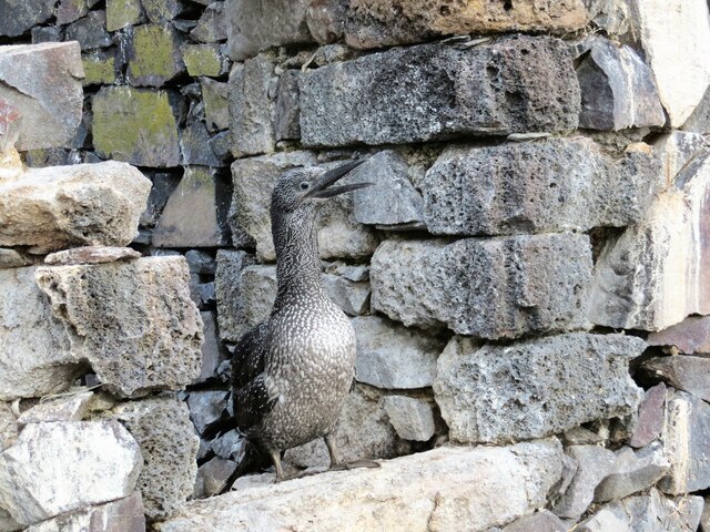
The area surrounding The Pulpit is rich in biodiversity, with various species of seabirds nesting along the cliffs. Birdwatchers flock to this location to catch a glimpse of puffins, guillemots, and other marine avian species in their natural habitat.
Due to its exposed position, The Pulpit can experience strong winds and rough seas, making it a popular spot for thrill-seeking surfers and other water sports enthusiasts. However, caution is advised, as the conditions can be challenging and unpredictable.
Overall, The Pulpit stands as a captivating coastal feature, offering a unique blend of natural beauty, geological interest, and recreational opportunities for visitors to enjoy.
If you have any feedback on the listing, please let us know in the comments section below.
The Pulpit Images
Images are sourced within 2km of 56.078803/-2.6388673 or Grid Reference NT6087. Thanks to Geograph Open Source API. All images are credited.
The Pulpit is located at Grid Ref: NT6087 (Lat: 56.078803, Lng: -2.6388673)
Unitary Authority: East Lothian
Police Authority: The Lothians and Scottish Borders
What 3 Words
///tightest.ambition.hoot. Near North Berwick, East Lothian
Nearby Locations
Related Wikis
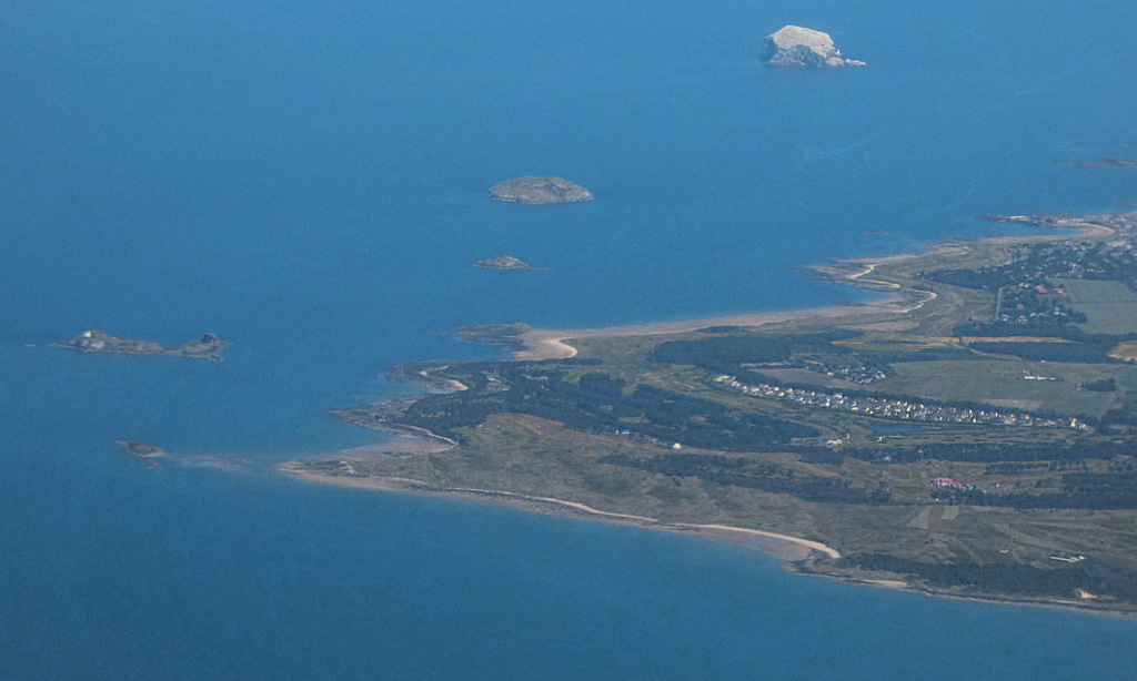
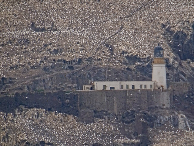
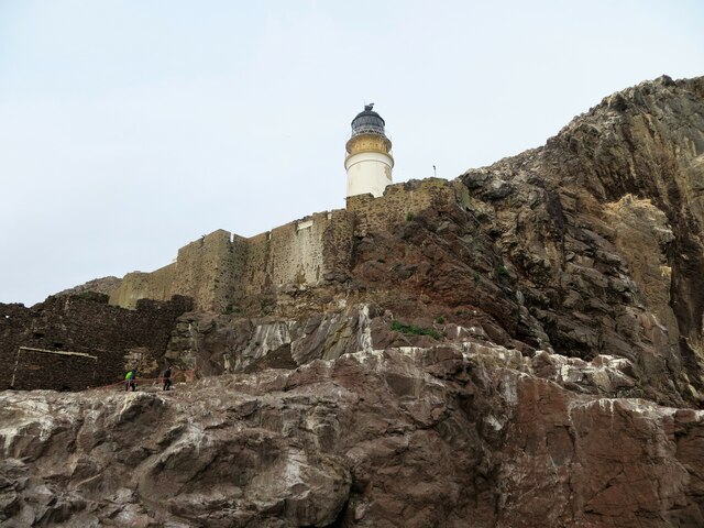
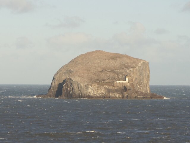
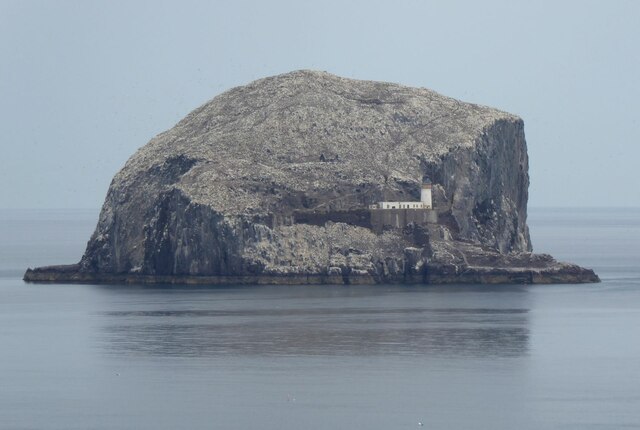
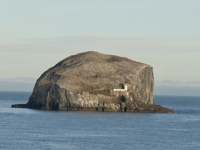
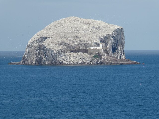
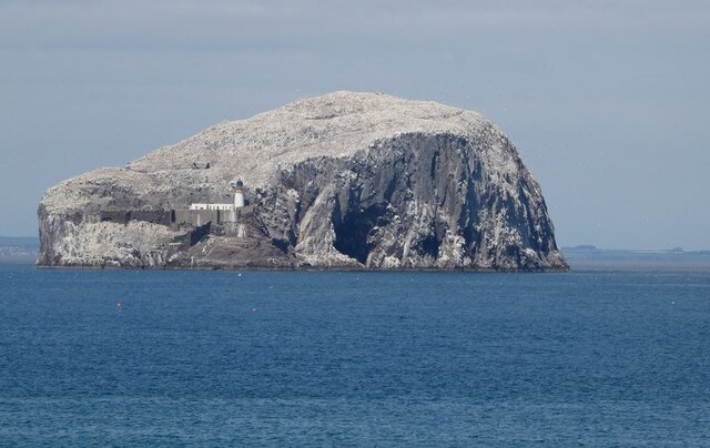
Bass Rock
The Bass Rock, or simply the Bass ( ), (Scottish Gaelic: Creag nam Bathais or Scottish Gaelic: Am Bas) is an island in the outer part of the Firth of Forth...

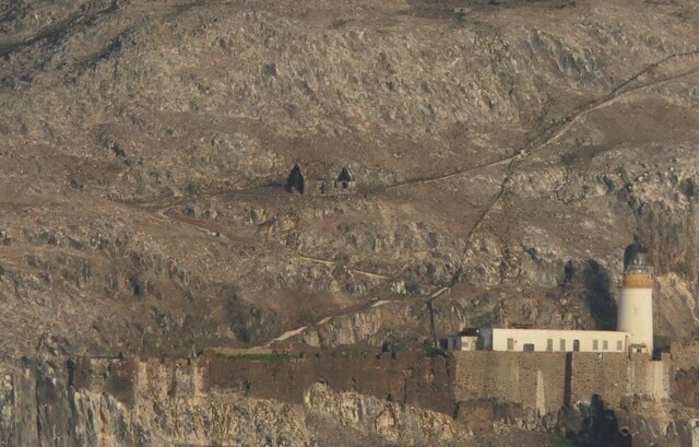
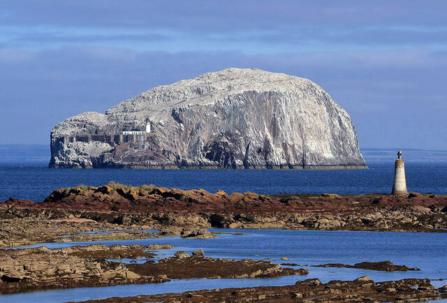
Bass Rock Lighthouse
The Bass Rock Lighthouse on Bass Rock is a 20-metre (66 ft) lighthouse, built in 1902 by David Stevenson, who demolished the 13th-century keep, or governor...
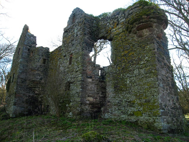
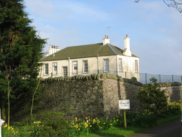
Auldhame Castle
Auldhame Castle is a ruined L-plan tower house standing on a ridge above Seacliff beach, about 3 miles east of North Berwick in East Lothian, and less...

Canty Bay
Canty Bay is a small inlet and coastal hamlet on the northern coast of East Lothian, Scotland. It is 2 miles (3.2 km) east of North Berwick and is opposite...
Seacliff
Seacliff comprises a beach, an estate and a harbour. It lies 4 miles (6 kilometres) east of North Berwick, East Lothian, Scotland. == History == The beach...
Auldhame & Scoughall
Auldhame and Scoughall are hamlets in East Lothian, Scotland. They are close to the town of North Berwick and the village of Whitekirk, and are approximately...

North Berwick Castle
North Berwick Castle was a castle on motte, originating in the 13th-century, east of North Berwick, East Lothian, Scotland, just south of the Firth of...
Craigleith
Craigleith (Scottish Gaelic: Creag Lìte) is a small island in the Firth of Forth off North Berwick in East Lothian, Scotland. Its name comes from the Scottish...
Nearby Amenities
Located within 500m of 56.078803,-2.6388673Have you been to The Pulpit?
Leave your review of The Pulpit below (or comments, questions and feedback).