Crathie Point
Coastal Feature, Headland, Point in Banffshire
Scotland
Crathie Point

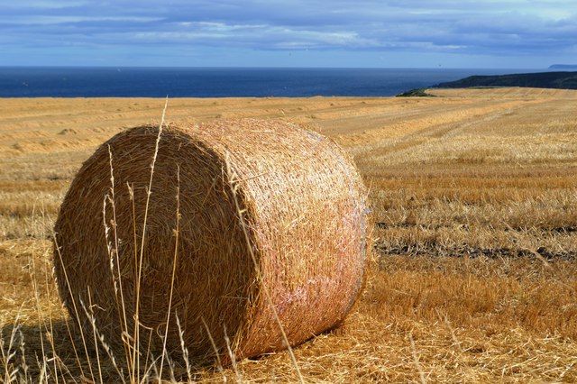
Crathie Point is a prominent coastal feature located in Banffshire, Scotland. It is a picturesque headland jutting out into the North Sea, forming a distinctive point that offers stunning views of the surrounding area. Situated near the village of Crathie, this natural landmark is a popular destination for tourists and locals alike.
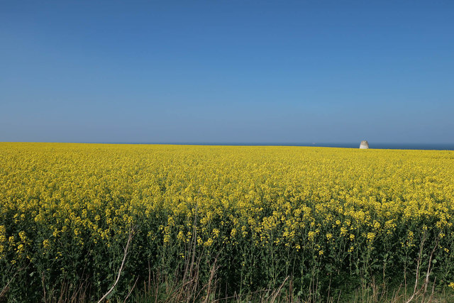
The headland is characterized by its rugged cliffs, which are composed mainly of granite and shale. These cliffs provide a dramatic backdrop to the crashing waves and create a sense of awe-inspiring beauty. The shoreline at Crathie Point consists of a mixture of sandy and rocky areas, making it a diverse and interesting location.
In addition to its natural beauty, Crathie Point is also home to a variety of wildlife. Birdwatchers flock to the area to spot seabirds such as gannets, puffins, and kittiwakes. Dolphins and seals can often be seen swimming in the waters surrounding the point, adding to the area's charm.
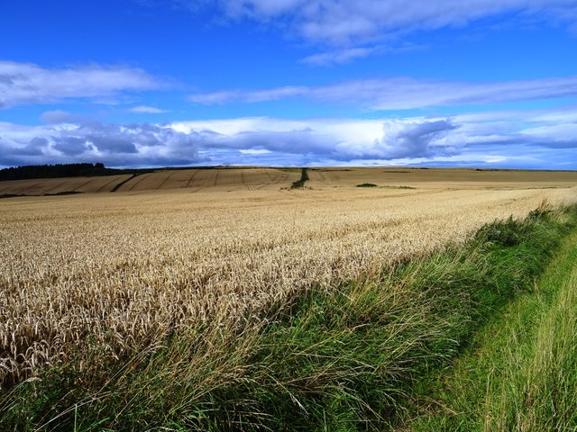
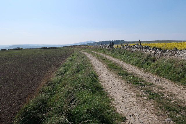
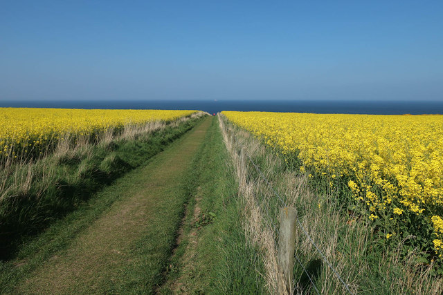
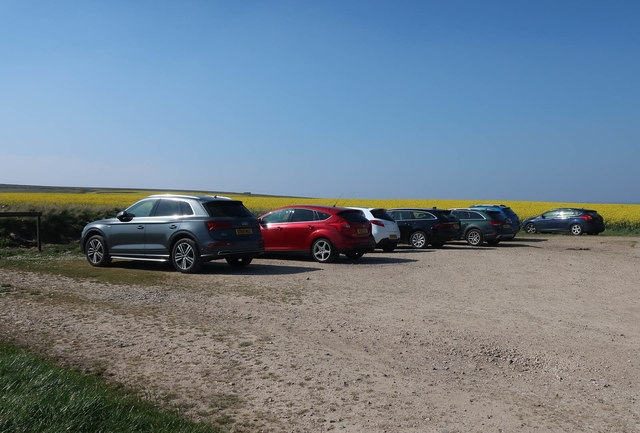
Access to Crathie Point is relatively easy, with a well-maintained path leading visitors from the nearby car park to the headland. The path offers stunning views along the way and is suitable for both walkers and cyclists. The point itself provides a perfect vantage point to observe the rugged coastline and enjoy a picnic while taking in the breathtaking scenery.
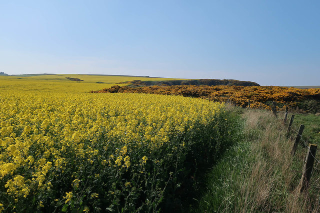
Overall, Crathie Point is a must-visit location for nature enthusiasts and those seeking a peaceful retreat. Its natural beauty, diverse wildlife, and accessible location make it a gem of Banffshire's coastline.
If you have any feedback on the listing, please let us know in the comments section below.
Crathie Point Images
Images are sourced within 2km of 57.693735/-2.7587673 or Grid Reference NJ5467. Thanks to Geograph Open Source API. All images are credited.


Crathie Point is located at Grid Ref: NJ5467 (Lat: 57.693735, Lng: -2.7587673)
Unitary Authority: Aberdeenshire
Police Authority: North East
What 3 Words
///cadet.message.changes. Near Cullen, Moray
Nearby Locations
Related Wikis

Findlater Castle
Findlater Castle is the old seat of the Earls of Findlater and Seafield, sitting on a 50-foot (15 m)-high cliff overlooking the Moray Firth on the coast...
Sandend
Sandend (Scots: Sanine) is a small fishing village near Banff and Portsoy, Scotland, typical of the area. It was "a considerable seatown as early as 1624...
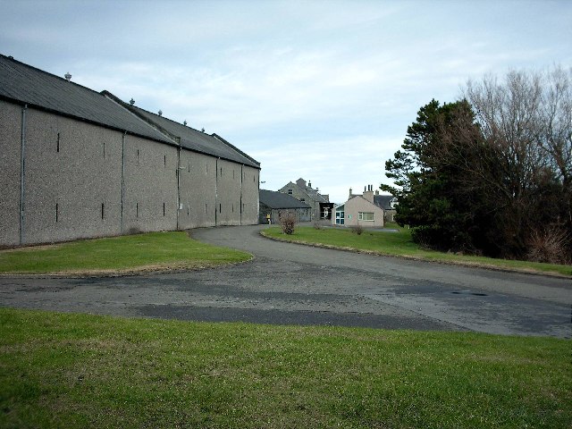
Glenglassaugh distillery
Glenglassaugh distillery is a malt scotch whisky distillery which restarted production in November 2008 after being acquired by an independent investment...

Glassaugh railway station
Glassaugh railway station was a railway station that served the rural area of Glassaugh and the nearby Glenglassaugh distillery close to Portsoy in Moray...

Tochieneal railway station
Tochieneal railway station was a railway station that served the small industrial village of Tochieneal, close to Cullen in Moray. The railway station...

Cullen railway station
Cullen railway station was a railway station that served the small fishing village of Cullen, close to Portknockie in Moray. The railway station was opened...

Cullen Town Hall
Cullen Town Hall is a municipal building in The Square, Cullen, Moray, Scotland. The structure, which is currently used as a heritage centre, is a Category...
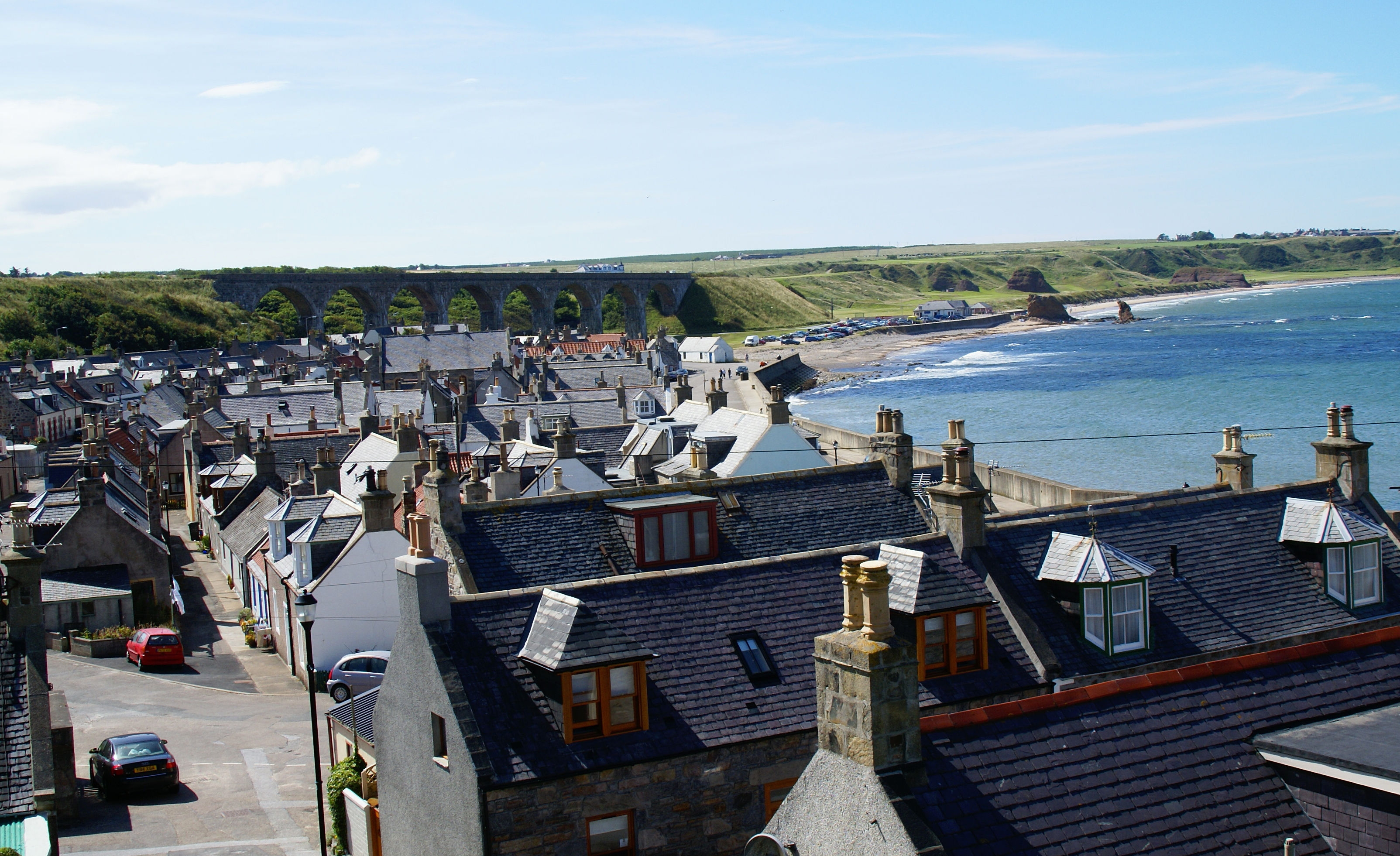
Cullen, Moray
Cullen (Scottish Gaelic: Inbhir Cuilinn) is a village and former royal burgh in Moray but historically in Banffshire, Scotland, on the North Sea coast...
Nearby Amenities
Located within 500m of 57.693735,-2.7587673Have you been to Crathie Point?
Leave your review of Crathie Point below (or comments, questions and feedback).