Castle Haven
Coastal Feature, Headland, Point in Banffshire
Scotland
Castle Haven

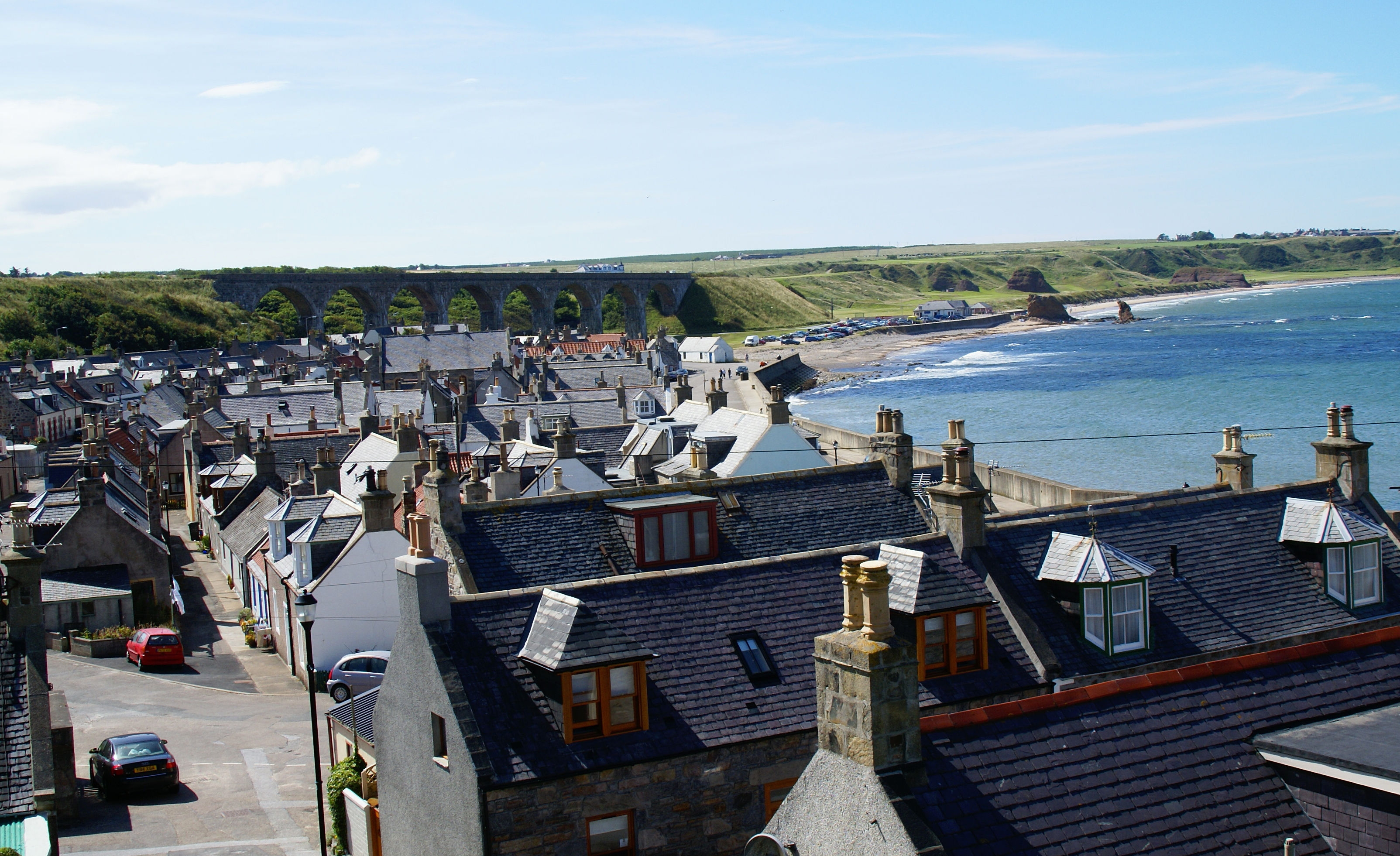
Castle Haven is a prominent coastal feature located in Banffshire, Scotland. Situated on the northeastern coast, this headland juts out into the North Sea, providing stunning panoramic views of the surrounding area. It is positioned between the towns of Macduff and Banff, and is easily accessible from both locations.
The headland gets its name from the iconic Castle of Inverallochy, which historically stood on its cliffs. Unfortunately, the castle is now in ruins, but its remnants add a sense of historical significance to the area. Castle Haven is known for its rugged cliffs, which are composed of sandstone and rise steeply from the shoreline. The cliffs are home to a variety of seabirds, including guillemots and kittiwakes, making it a popular spot for birdwatching enthusiasts.
The headland is also a haven for wildlife, with seals often seen basking on nearby rocks, and occasional sightings of dolphins and porpoises in the waters below. The coastal path surrounding Castle Haven offers visitors the opportunity to explore the area on foot, taking in the breathtaking scenery and enjoying the fresh sea air.
In addition to its natural beauty, Castle Haven has a rich cultural history. The headland was once used as a defensive site, with the castle providing protection against potential invaders. Today, visitors can still see the remains of the castle's walls and towers, which serve as a reminder of the area's past.
Overall, Castle Haven in Banffshire is a captivating coastal feature, offering a blend of natural beauty, wildlife, and historical significance. It is a must-visit destination for those seeking a unique and enriching experience on the Scottish coast.
If you have any feedback on the listing, please let us know in the comments section below.
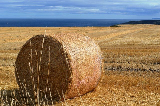
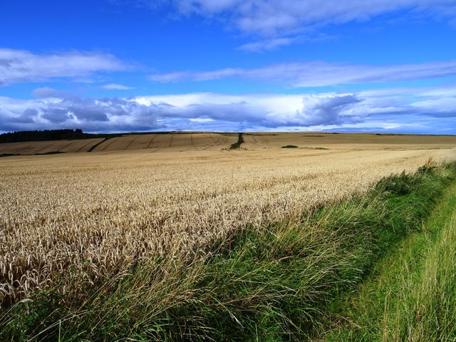
Castle Haven Images
Images are sourced within 2km of 57.692766/-2.772066 or Grid Reference NJ5467. Thanks to Geograph Open Source API. All images are credited.


Castle Haven is located at Grid Ref: NJ5467 (Lat: 57.692766, Lng: -2.772066)
Unitary Authority: Aberdeenshire
Police Authority: North East
What 3 Words
///rush.unfit.ushering. Near Cullen, Moray
Nearby Locations
Related Wikis

Findlater Castle
Findlater Castle is the old seat of the Earls of Findlater and Seafield, sitting on a 50-foot (15 m)-high cliff overlooking the Moray Firth on the coast...
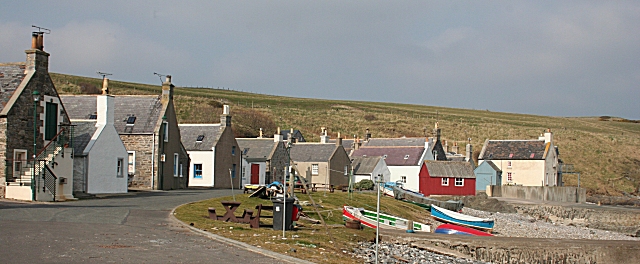
Sandend
Sandend (Scots: Sanine) is a small fishing village near Banff and Portsoy, Scotland, typical of the area. It was "a considerable seatown as early as 1624...

Tochieneal railway station
Tochieneal railway station was a railway station that served the small industrial village of Tochieneal, close to Cullen in Moray. The railway station...
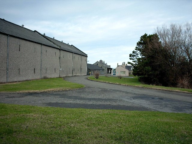
Glenglassaugh distillery
Glenglassaugh distillery is a malt scotch whisky distillery which restarted production in November 2008 after being acquired by an independent investment...

Glassaugh railway station
Glassaugh railway station was a railway station that served the rural area of Glassaugh and the nearby Glenglassaugh distillery close to Portsoy in Moray...

Cullen railway station
Cullen railway station was a railway station that served the small fishing village of Cullen, close to Portknockie in Moray. The railway station was opened...

Cullen Town Hall
Cullen Town Hall is a municipal building in The Square, Cullen, Moray, Scotland. The structure, which is currently used as a heritage centre, is a Category...
Cullen, Moray
Cullen (Scottish Gaelic: Inbhir Cuilinn) is a village and former royal burgh in Moray but historically in Banffshire, Scotland, on the North Sea coast...
Nearby Amenities
Located within 500m of 57.692766,-2.772066Have you been to Castle Haven?
Leave your review of Castle Haven below (or comments, questions and feedback).