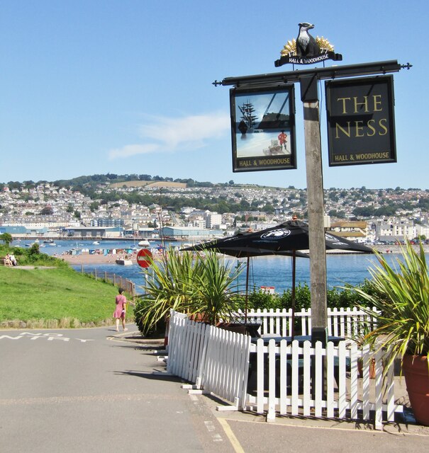
The Ness
Coastal Feature, Headland, Point in Devon Teignbridge
England
The Ness
![Teignmouth Lido temporarily closed Closed during the pandemic, the Lido will remain closed until 2022. Teignbridge Council explains that it has been &quot;successful in a grant funding bid to the Public Sector Decarbonisation Scheme which will enable us to reduce energy costs and carbon emissions by installing new, green technology at Newton Abbot Leisure Centre, Teignmouth Lido and Broadmeadow Sports Centre [Dawlish]&quot;. The deadline for completing the work is September 2021: watch this space. <a href="https://www.geograph.org.uk/photo/3463487">SX9473 : Early morning lane swimming, Teignmouth Lido</a>.](https://s1.geograph.org.uk/geophotos/06/92/00/6920057_a3d85adb.jpg)
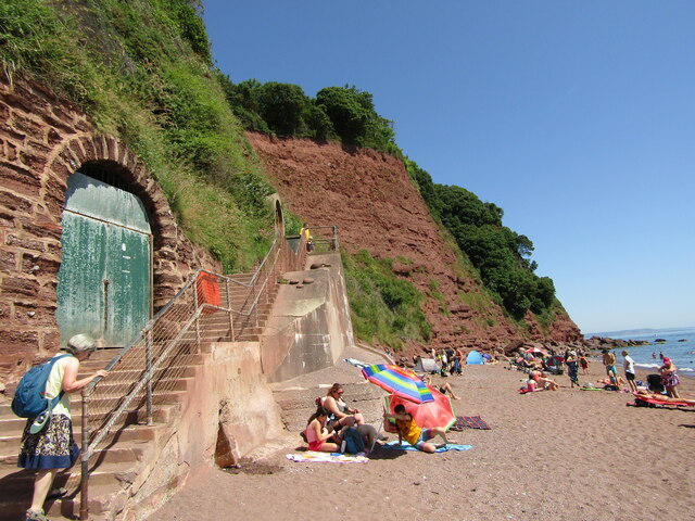
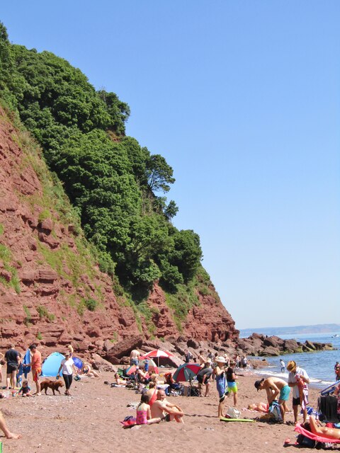
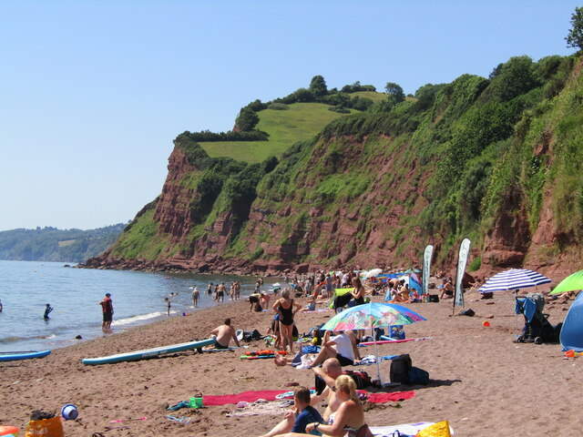
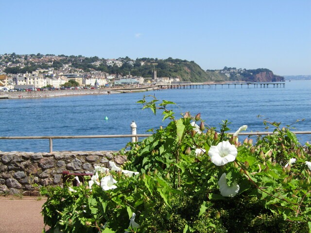
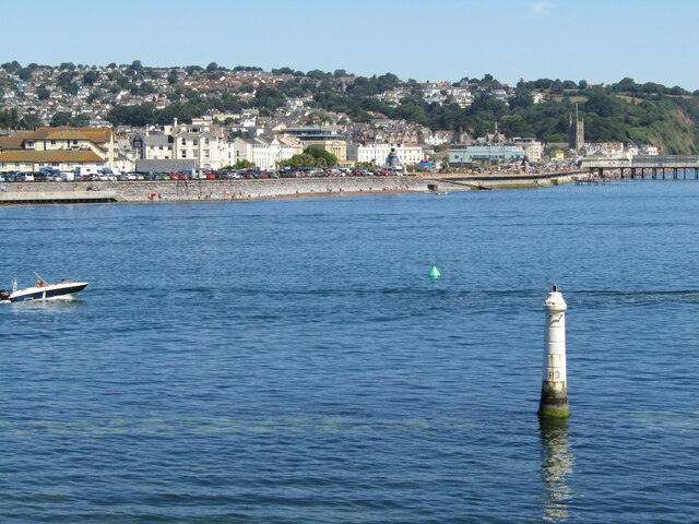
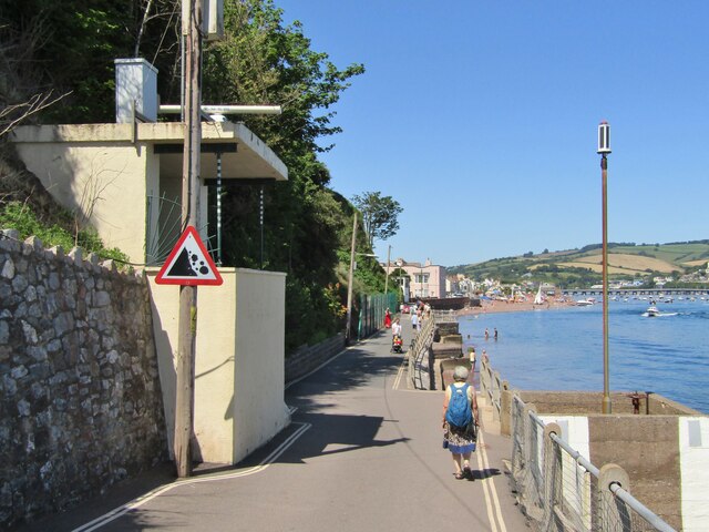
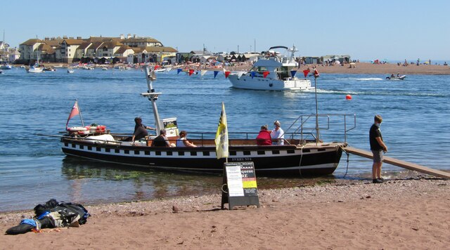
The Ness is a prominent coastal feature located in Devon, England. It is a headland that juts out into the sea, forming a distinctive point on the coastline. The Ness is known for its stunning natural beauty and rich geological history.
This headland is characterized by its rugged cliffs, which tower above the crashing waves below. The cliffs are made up of sedimentary rock formations, showcasing layers of different materials, such as limestone and shale. These rocks provide a glimpse into the region's ancient past, with some dating back millions of years.
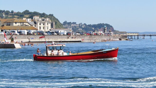
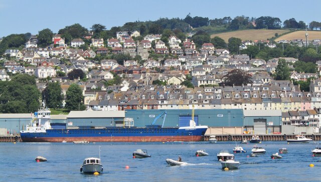
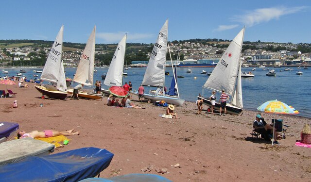
The Ness offers breathtaking panoramic views of the surrounding coastline and the vast expanse of the ocean. From its elevated position, visitors can observe the dramatic tides and the interplay between land and sea. On clear days, it is possible to see as far as the neighboring counties and even catch a glimpse of distant ships sailing by.
In addition to its geological significance, The Ness is also an important site for wildlife conservation. The headland provides a habitat for a variety of bird species, including gulls, cormorants, and peregrine falcons. It is also a popular spot for birdwatchers who flock to the area to observe these magnificent creatures in their natural environment.
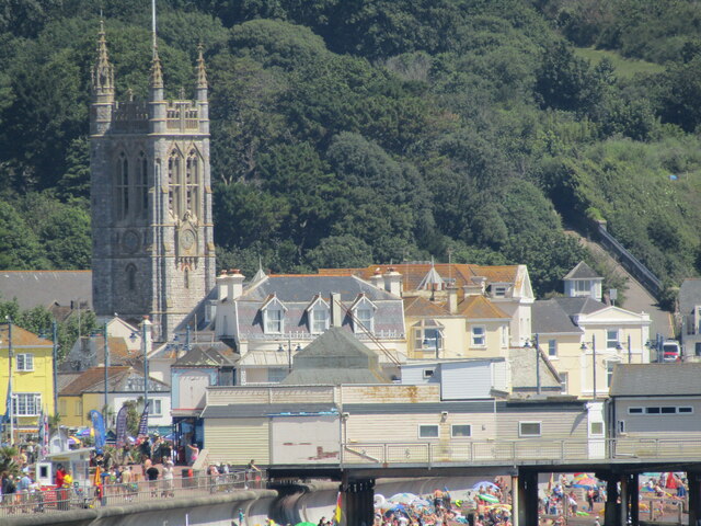
Due to its natural beauty and scientific importance, The Ness attracts a significant number of tourists and nature enthusiasts each year. Its accessibility, with well-maintained footpaths and viewing platforms, allows visitors to explore and appreciate the unique coastal landscape while preserving its natural integrity.
If you have any feedback on the listing, please let us know in the comments section below.
The Ness Images
Images are sourced within 2km of 50.537393/-3.4975712 or Grid Reference SX9371. Thanks to Geograph Open Source API. All images are credited.

The Ness is located at Grid Ref: SX9371 (Lat: 50.537393, Lng: -3.4975712)
Administrative County: Devon
District: Teignbridge
Police Authority: Devon and Cornwall
What 3 Words
///voltages.scare.tinsel. Near Teignmouth, Devon
Nearby Locations
Related Wikis

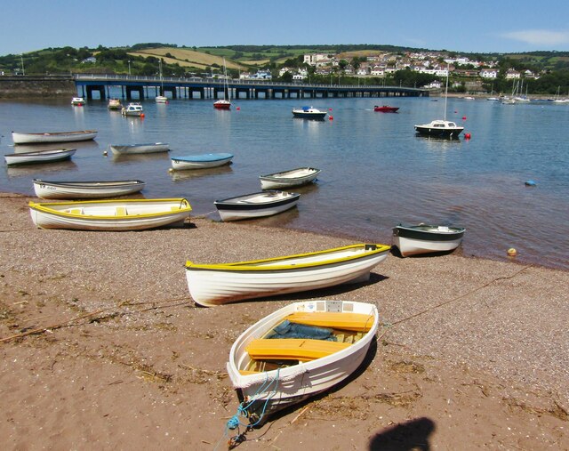
River Teign
The River Teign is a river in the county of Devon, England. It is 31 mi (50 km) long and rises on Dartmoor, becomes an estuary just below Newton Abbot...

Teignmouth Lifeboat Station
Teignmouth Lifeboat Station is the base for Royal National Lifeboat Institution (RNLI) search and rescue operations at Teignmouth, Devon in England. The...

Teignmouth Lighthouse
Teignmouth lighthouse is a lighthouse situated on the south end of the Den promenade at Teignmouth, Devon, England. It is paired with a red polycarbonate...

Shaldon
Shaldon is a village and civil parish in the Teignbridge district, in south Devon, England, on the south bank of the estuary of the River Teign, opposite...
Nearby Amenities
Located within 500m of 50.537393,-3.4975712Have you been to The Ness?
Leave your review of The Ness below (or comments, questions and feedback).