Garlinge Green

Settlement in Kent Canterbury

England

Garlinge Green

Penny Pot Lane
Penny Pot Lane Credit: N Chadwick

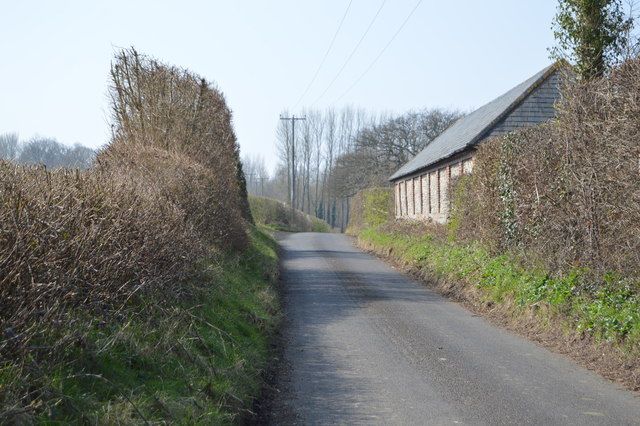
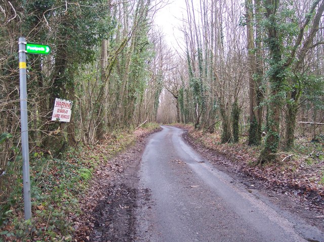
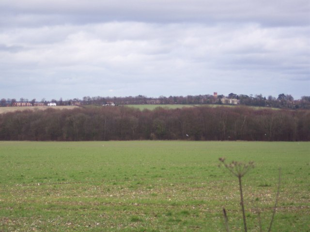
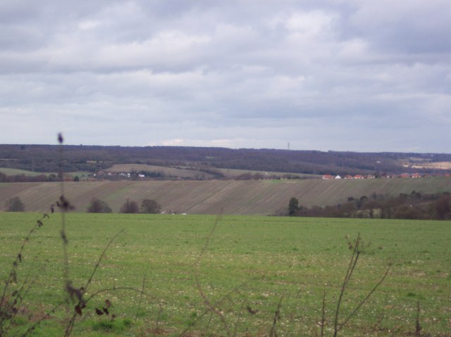
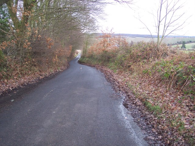
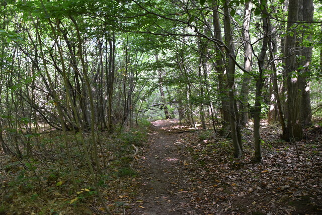
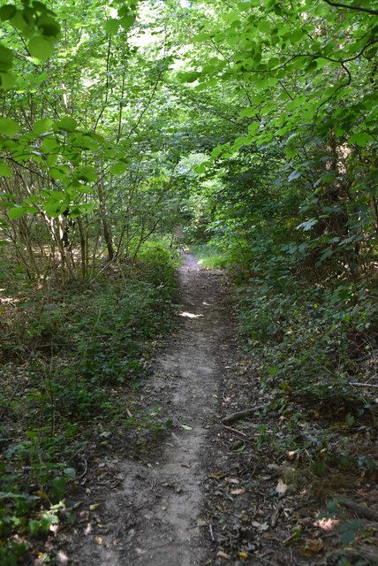
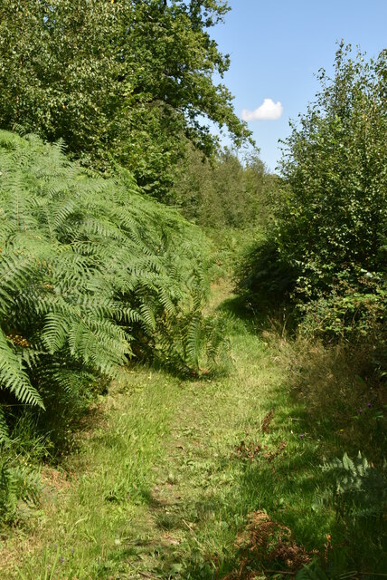
Garlinge Green is a small village located in the county of Kent, England. Situated about 5 miles northwest of the city of Canterbury, it falls within the district of Canterbury and the civil parish of Sturry. The village is surrounded by picturesque countryside, with rolling hills and lush green fields, providing residents with a tranquil rural setting.

Garlinge Green is a tight-knit community with a population of around 300 people. It is characterized by its charming and traditional architecture, including a mix of cottages and larger family homes. The village has a strong sense of community spirit, with various local events and activities organized throughout the year, fostering a friendly and welcoming atmosphere.

Although Garlinge Green is primarily a residential area, it benefits from its close proximity to the historic city of Canterbury, which offers a range of amenities, including shops, restaurants, and leisure facilities. The village itself has limited services, with a small convenience store and a village hall serving as the main gathering place for social events.

The surrounding countryside provides ample opportunities for outdoor activities, such as hiking, cycling, and horse riding. Additionally, the village is well connected to the wider area, with good transport links to Canterbury and other nearby towns, making it an attractive location for commuters.

Overall, Garlinge Green offers a peaceful and idyllic lifestyle, combining the tranquility of rural living with the convenience of nearby urban amenities.

If you have any feedback on the listing, please let us know in the comments section below.

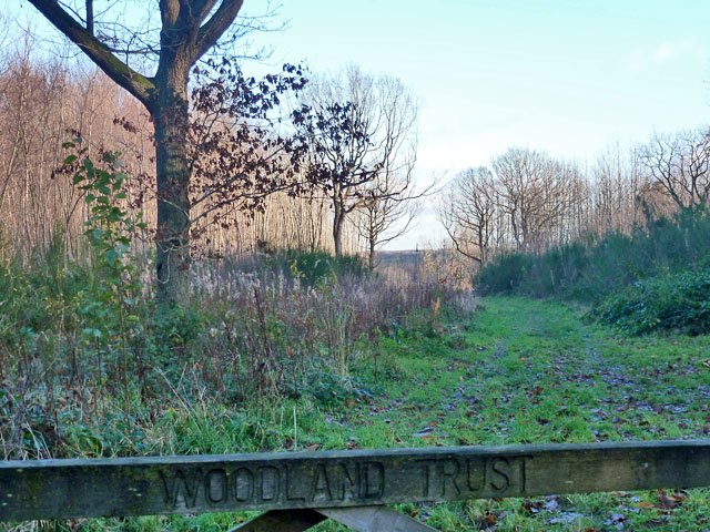
Garlinge Green Images

Images are sourced within 2km of 51.232413/1.028161 or Grid Reference TR1152. Thanks to Geograph Open Source API. All images are credited.

Penny Pot Lane
Penny Pot Lane
Track to Upper Mystole Park Farm Not the main entrance track, though is much shorter to the road.
Track to Upper Mystole Park Farm
Not the main entrance track, though is much shorter to the road.
Denge Wood Cleared open access woodland managed by the Woodland Trust. Off Penny Pot Lane.
Denge Wood
Cleared open access woodland managed by the Woodland Trust. Off Penny Pot Lane.
Denge Wood Open access woodland managed by the Woodland Trust.
Denge Wood
Open access woodland managed by the Woodland Trust.
Woodland Trust part of Denge Wood The extensive Denge Wood is mostly Forestry Commission, but this part is Woodland Trust, and parts are private.
Woodland Trust part of Denge Wood
The extensive Denge Wood is mostly Forestry Commission, but this part is Woodland Trust, and parts are private.
Penny Pot Lane Heading north.
Penny Pot Lane
Heading north.
Entrance to area of felled trees in Denge Wood
Access track in Denge Wood There are many access tracks in this section of the wood, they are used for transporting machinery for coppicing work. This track heads eastwards from the footpath to Penny Pot Lane.
Access track in Denge Wood
There are many access tracks in this section of the wood, they are used for transporting machinery for coppicing work. This track heads eastwards from the footpath to Penny Pot Lane.
Footpath near Penny Pot Lane This path leads from the lane through Denge Wood towards the bridleway, heading either to Mystole Road or Upper Thruxted Farm.
Footpath near Penny Pot Lane
This path leads from the lane through Denge Wood towards the bridleway, heading either to Mystole Road or Upper Thruxted Farm.
Penny Pot Lane in Denge Wood This lane climbs up from Underdown and Mystole Lane, towards Thruxed Mill and onto Sole Street. The footpath on the right heads through the wood to a bridleway.
Penny Pot Lane in Denge Wood
This lane climbs up from Underdown and Mystole Lane, towards Thruxed Mill and onto Sole Street. The footpath on the right heads through the wood to a bridleway.
View towards St Augustines Seen from Penny Pot Lane. This was formerly Kent County Lunatic Asylum, now a huge housing development.
View towards St Augustines
Seen from Penny Pot Lane. This was formerly Kent County Lunatic Asylum, now a huge housing development.
View of Chartham Downs and Shalmsford Street Seen from Penny Pot Lane. Chartham Downs is on the right, and Shalmsford Street is on the left, close to the River Stour valley. In the background are the North Downs.
View of Chartham Downs and Shalmsford Street
Seen from Penny Pot Lane. Chartham Downs is on the right, and Shalmsford Street is on the left, close to the River Stour valley. In the background are the North Downs.
Penny Pot Lane This lane leads down from Denge Wood and Sole Street towards Mystole Lane and Shalmsford Street. In the background is the North Downs.
Penny Pot Lane
This lane leads down from Denge Wood and Sole Street towards Mystole Lane and Shalmsford Street. In the background is the North Downs.
Footpath junction, Denge Wood
Denge Wood 300 hectares of woodland some private but most managed by The Woodland Trust and Forestry Commission. Much of Denge Wood is classified as ancient semi-natural woodland and some areas are used for economic activity such as forestry.
Denge Wood
300 hectares of woodland some private but most managed by The Woodland Trust and Forestry Commission. Much of Denge Wood is classified as ancient semi-natural woodland and some areas are used for economic activity such as forestry.
Footpath, Denge Wood 300 hectares of woodland some private but most managed by The Woodland Trust and Forestry Commission. Much of Denge Wood is classified as ancient semi-natural woodland and some areas are used for economic activity such as forestry.
Footpath, Denge Wood
300 hectares of woodland some private but most managed by The Woodland Trust and Forestry Commission. Much of Denge Wood is classified as ancient semi-natural woodland and some areas are used for economic activity such as forestry.
Show me another place!

Garlinge Green is located at Grid Ref: TR1152 (Lat: 51.232413, Lng: 1.028161)

Administrative County: Kent

District: Canterbury

Police Authority: Kent

What 3 Words

///unsightly.perkily.statue. Near Chartham, Kent

Nearby Locations

Garlinge Green Walk Wood

Related Wikis

St Augustine's Hospital, Chartham

St Augustine's Hospital was a psychiatric hospital in Chartham, Kent, England. It was founded as the second, or East, Kent County Asylum in 1872. In 1948...

Denge Wood

Denge Wood is a wood located 8 miles southwest of Canterbury in Kent, England. The wood is owned by the Forestry Commission and the Woodland Trust. Part...

Petham

Petham is a rural village and civil parish in the North Downs, five miles south of Canterbury in Kent, South East England. The village church is All Saints...

Church of St Mary, Chartham

St Mary's Church is in the village of Chartham, Kent, England. It is an active Anglican parish church in the Diocese of Canterbury. Constructed between...

Chartham railway station

Chartham railway station is in Chartham, Kent, on the Ashford to Ramsgate line. The station, and all trains serving it, is operated by Southeastern....

Larkey Valley Wood

Larkey Valley Wood is a 44.1-hectare (109-acre) biological Site of Special Scientific Interest south of Canterbury in Kent. It is also a Local Nature Reserve...

Anvil Green

Anvil Green is a small settlement located near Waltham in Kent, England, about nine miles (14.4 km) north east of Ashford. == External links == Media...

Down Bank

Down Bank is a 5.9-hectare (15-acre) biological Site of Special Scientific Interest south-west of Canterbury in Kent.This sloping chalk meadow has the...

Nearby Amenities

Located within 500m of 51.232413,1.028161
Garlinge Green
Created By: Potlatch 0.10f
Is In: Kent, England, UK
Place: hamlet
Source: survey
Lat/Long: 51.2329149/1.0251519
Post Box
Post Box Type: lamp
Postal Code: CT4
Ref: CT4 196
Source: survey
Lat/Long: 51.2328196/1.0250465
Telephone
Booth: K6
Covered: booth
Listed Status: Grade II
Phone: +44 1227 700337
Lat/Long: 51.232806/1.0250457
Barrier: stile
Lat/Long: 51.2357319/1.0313374
Access: no
Barrier: stile
Foot: yes
Stile: stepover
Lat/Long: 51.2360544/1.0268778
Access: no
Barrier: stile
Foot: yes
Material: wood
Stile: stepover
Lat/Long: 51.2323894/1.0303425
Barrier: stile
Lat/Long: 51.233786/1.0259758
Access: no
Barrier: stile
Foot: yes
Material: wood
Stile: stepover
Lat/Long: 51.235895/1.0258958
Barrier: stile
Lat/Long: 51.2354291/1.0284637
Power: pole
Lat/Long: 51.2341499/1.0286831
Power: pole
Lat/Long: 51.2354111/1.0286573
Power: pole
Lat/Long: 51.2349949/1.0292967
Power: pole
Lat/Long: 51.2334071/1.0281253
Power: pole
Lat/Long: 51.2327463/1.0276674
Power: pole
Lat/Long: 51.232105/1.0271943
Power: pole
Lat/Long: 51.2357503/1.0298478
Power: pole
Lat/Long: 51.2349949/1.0292967
Power: pole
Lat/Long: 51.2358709/1.0312956
The data included in this document is from www.openstreetmap.org. The data is made available under ODbL.

Have you been to Garlinge Green?

Leave your review of Garlinge Green below (or comments, questions and feedback).