Snaple Point
Coastal Feature, Headland, Point in Glamorgan
Wales
Snaple Point
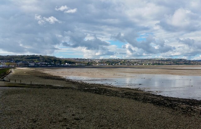
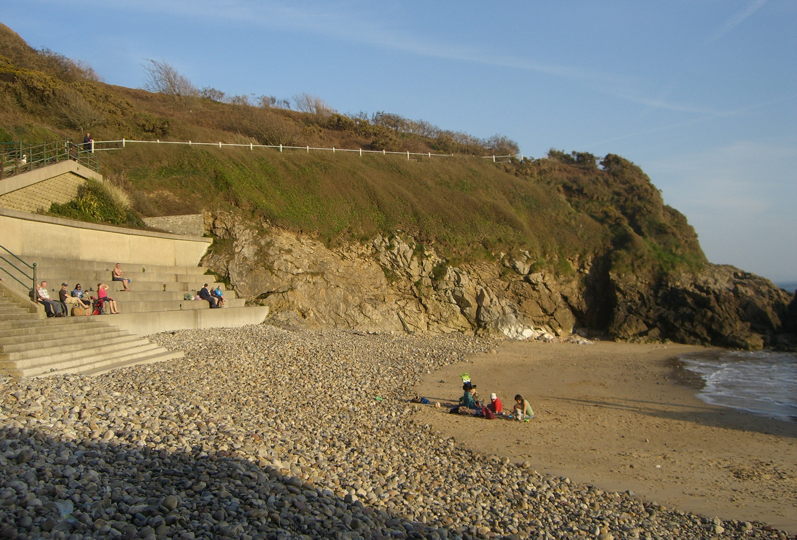
Snaple Point is a prominent headland located on the Glamorgan coast in South Wales. Situated about 5 miles southwest of the town of Bridgend, Snaple Point is known for its stunning natural beauty and rich geological history.
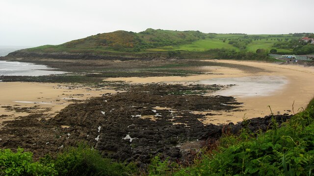
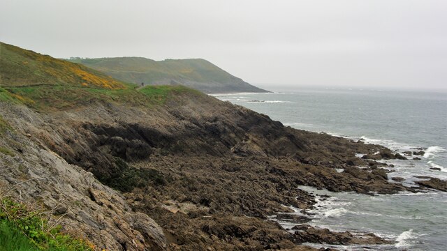
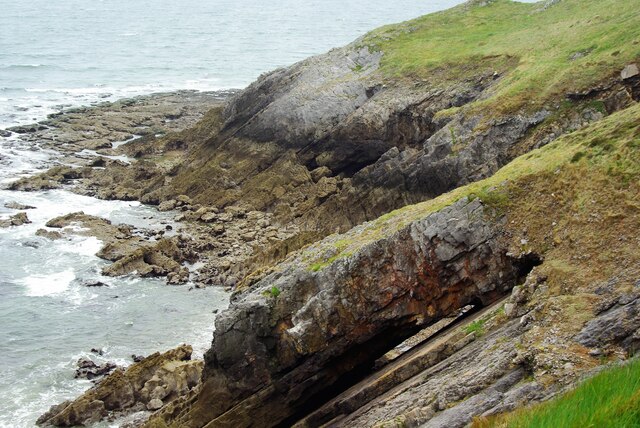
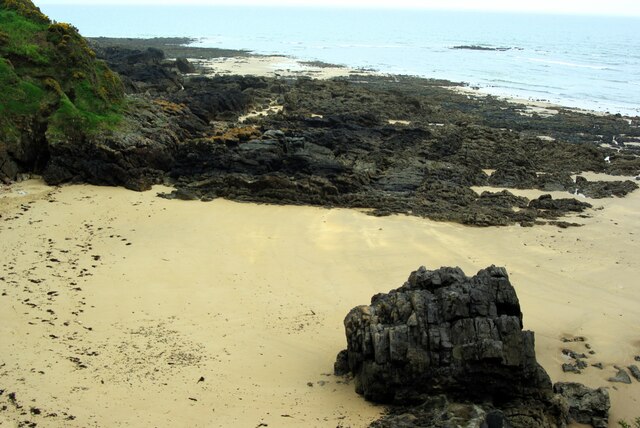
Rising to an elevation of approximately 50 meters above sea level, Snaple Point offers breathtaking panoramic views of the Bristol Channel and the surrounding coastline. The headland is characterized by rugged cliffs formed from layers of sedimentary rock, primarily limestone and shale. These cliffs provide a habitat for various species of seabirds, including gulls and cormorants, making it a popular spot for birdwatching enthusiasts.
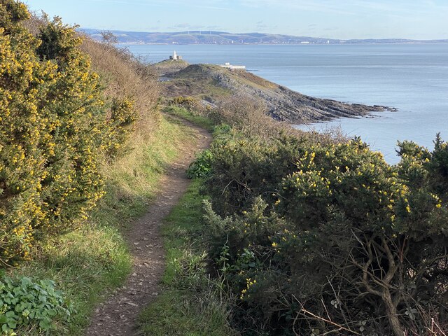
The area surrounding Snaple Point is also home to a diverse range of flora and fauna. The headland is covered in grasses, wildflowers, and shrubs, creating a picturesque landscape that is particularly vibrant during the spring and summer months.
In addition to its natural beauty, Snaple Point holds historical significance. The headland is dotted with ancient archaeological remains, including Iron Age hill forts and burial mounds. These remnants serve as a testament to the area's rich human history and provide valuable insights into the lives of the early inhabitants of Glamorgan.
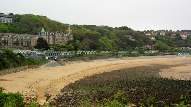
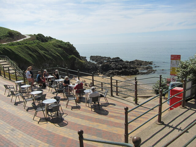
Snaple Point offers visitors a tranquil retreat away from the hustle and bustle of city life. Its rugged cliffs, breathtaking views, and historical significance make it a must-visit destination for nature lovers, history enthusiasts, and anyone seeking a serene coastal experience.
If you have any feedback on the listing, please let us know in the comments section below.
Snaple Point Images
Images are sourced within 2km of 51.564602/-4.0149023 or Grid Reference SS6087. Thanks to Geograph Open Source API. All images are credited.


Snaple Point is located at Grid Ref: SS6087 (Lat: 51.564602, Lng: -4.0149023)
Unitary Authority: Swansea
Police Authority: South Wales
What 3 Words
///trustees.unheated.caves. Near Bishopston, Swansea
Nearby Locations
Related Wikis
Rotherslade
Rotherslade is a small stretch of sandy beach at the eastern end of Langland Bay in the south Gower Peninsula, Wales. Previously known as 'Little Langland...

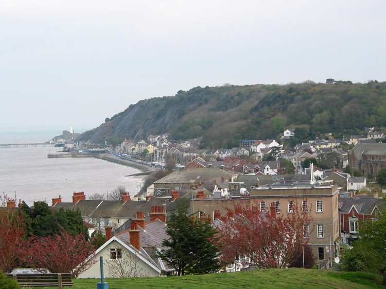
Langland Bay
Langland Bay is a popular coastal holiday resort in Gower, Swansea in south Wales. It is a popular surfing beach which regularly meets the European Blue...

Newton, Swansea
Newton is a village (and former electoral ward) in the city of and County of Swansea, Wales. The village is located near the Mumbles just inland and uphill...
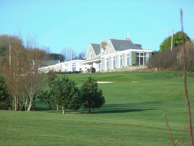
Langland Bay Golf Club
Langland Bay Golf Club is an 18-hole golf course known in an Area of Outstanding Natural Beauty overlooking Langland Bay near Swansea, Wales, UK.The first...

Oystermouth
Oystermouth (Welsh: Ystumllwynarth) is a village (and former electoral ward) in the district of Mumbles, Swansea, Wales. It is part of the Mumbles community...

Caswell Bay
Caswell Bay (Welsh: Bae Cas-wellt; meaning: straw fortress), is a beach on the south east of the Gower Peninsula, Swansea, Wales. It is a sandy beach popular...
Oystermouth Cemetery
Oystermouth Cemetery (Welsh: Mynwentydd Ystumllwynarth) is a municipal cemetery in the village of Oystermouth, Swansea, South Wales. It was opened in 1883...
Mumbles (district)
The Mumbles is a district of Swansea, Wales, located on the south-east corner of the unitary authority area. It is also a local government community of...
Nearby Amenities
Located within 500m of 51.564602,-4.0149023Have you been to Snaple Point?
Leave your review of Snaple Point below (or comments, questions and feedback).