Aukside

Settlement in Durham

England

Aukside

Rumours and Uttas Rumours coffee shop and the HQ of the Upper Teesdale Agricultural Support Services.
Rumours and Uttas Credit: Colin Kinnear

Aukside is a small residential area located in the city of Durham, England. Situated in the northeastern part of the city, Aukside is known for its quiet and peaceful atmosphere, making it a popular choice for families and professionals seeking a tranquil living environment.

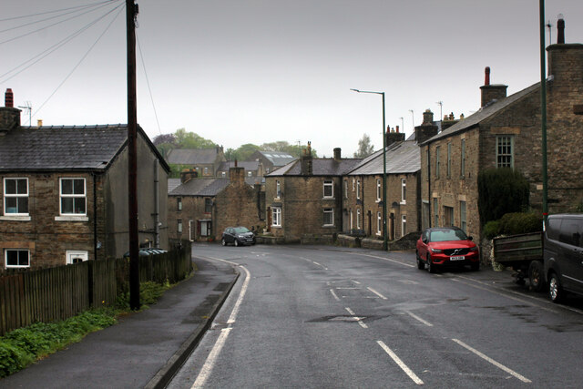
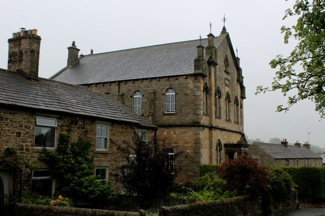
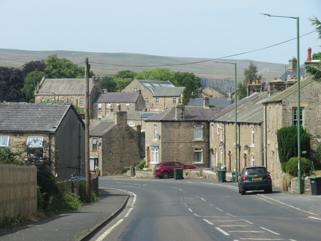
The area primarily consists of well-maintained houses and apartments, offering a range of housing options to suit different needs. The architecture in Aukside is a mix of modern and traditional styles, with many properties featuring attractive gardens and green spaces. The community takes pride in its clean and orderly appearance, creating a pleasant and welcoming ambiance.

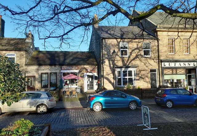
Aukside benefits from its proximity to several local amenities, including schools, parks, and shops. The area is well-served by public transportation, with bus routes connecting it to other parts of Durham. Additionally, the city center is within easy reach, providing residents with access to a wider range of services, entertainment, and employment opportunities.

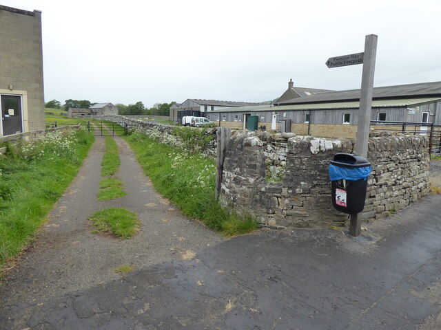
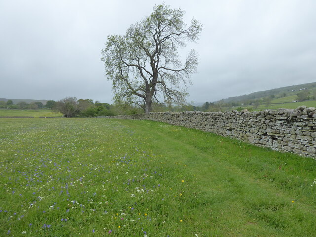
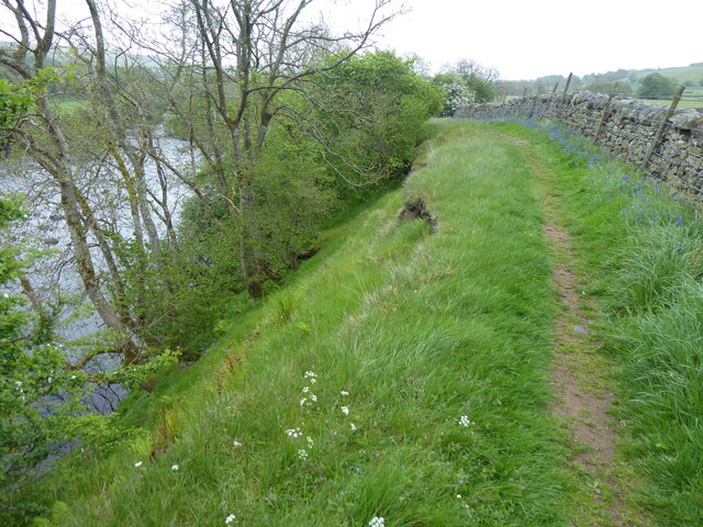
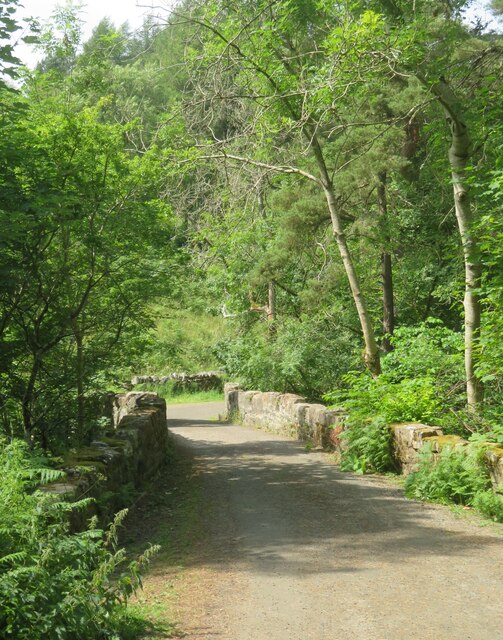
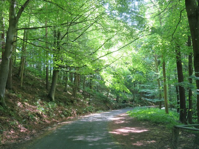
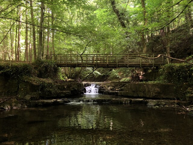
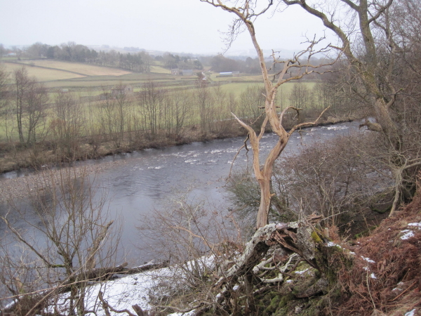
Nature enthusiasts will appreciate Aukside's proximity to the River Wear, a picturesque waterway that offers scenic walking and cycling trails. The nearby countryside also provides opportunities for outdoor activities such as hiking and birdwatching.

Overall, Aukside in Durham offers a peaceful and family-friendly living environment, with its well-maintained properties, convenient amenities, and proximity to nature. It is an attractive option for those seeking a quieter lifestyle while still enjoying easy access to the city's amenities and recreational opportunities.

If you have any feedback on the listing, please let us know in the comments section below.
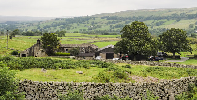
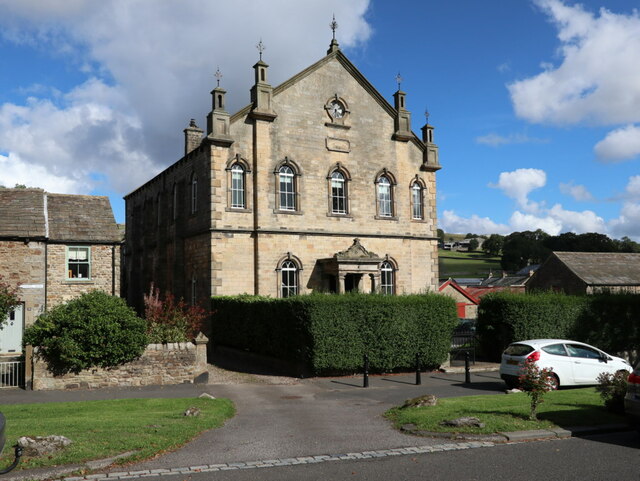
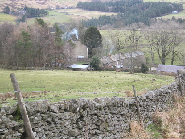
Aukside Images

Images are sourced within 2km of 54.635855/-2.091682 or Grid Reference NY9426. Thanks to Geograph Open Source API. All images are credited.

Rumours and Uttas Rumours coffee shop and the HQ of the Upper Teesdale Agricultural Support Services.
Rumours and Uttas
Rumours coffee shop and the HQ of the Upper Teesdale Agricultural Support Services.
Entering Middleton-in-Teesdale on the B6282 Entering the village on a wet day
Entering Middleton-in-Teesdale on the B6282
Entering the village on a wet day
Former Methodist Chapel, Middleton-in-Teesdale Former Primitive Methodist Church, now a private dwelling
Former Methodist Chapel, Middleton-in-Teesdale
Former Primitive Methodist Church, now a private dwelling
The Pennine Way near Middleton-in-Teesdale
The Pennine Way near East Crossthwaite
The Pennine Way near Middle Crossthwaite
Heading into Middleton in Teesdale The B6282 dropping into Middleton from the direction of Eggleston.
Heading into Middleton in Teesdale
The B6282 dropping into Middleton from the direction of Eggleston.
Bridge at the road end Bridge over Hudeshope Beck at the point where the tarmac runs out and a footpath begins.
Bridge at the road end
Bridge over Hudeshope Beck at the point where the tarmac runs out and a footpath begins.
Road through the woods Heading south towards Middleton in Teesdale along the minor road above the Hudeshope Beck.
Road through the woods
Heading south towards Middleton in Teesdale along the minor road above the Hudeshope Beck.
Window tracery from former church Grade II listed C13th window tracery from former church of St Mary, set in the graveyard of the modern church.
Window tracery from former church
Grade II listed C13th window tracery from former church of St Mary, set in the graveyard of the modern church.
Footbridge across Hudeshope Beck
Skears Lime Kilns A group of 6 lime kilns of varying age adjacent to the former Skears Quarry.
Skears Lime Kilns
A group of 6 lime kilns of varying age adjacent to the former Skears Quarry.
West Crossthwaite The farm buildings at West Crossthwaite on the south side of the minor road to Holwick.
West Crossthwaite
The farm buildings at West Crossthwaite on the south side of the minor road to Holwick.
Dales Chapel, Middleton-in-Teesdale Former Primitive Methodist Chapel dated 1872.
Dales Chapel, Middleton-in-Teesdale
Former Primitive Methodist Chapel dated 1872.
Arch, Masterman Place, Middleton in Teesdale Archway over narrow road, dated 1823. By Ignatius Bonomi for the London Lead Company. Coursed squared sandstone with ashlar dressings. Classical style. High arch over entrance to new development by the company, providing housing for their most valued workers.
Grade II Listed (List Entry: 1203547) <span class="nowrap"><a title="https://historicengland.org.uk/listing/the-list/list-entry/1203547" rel="nofollow ugc noopener" href="https://historicengland.org.uk/listing/the-list/list-entry/1203547">Link</a><img style="margin-left:2px;" alt="External link" title="External link - shift click to open in new window" src="https://s1.geograph.org.uk/img/external.png" width="10" height="10"/></span>
Arch, Masterman Place, Middleton in Teesdale
Archway over narrow road, dated 1823. By Ignatius Bonomi for the London Lead Company. Coursed squared sandstone with ashlar dressings. Classical style. High arch over entrance to new development by the company, providing housing for their most valued workers. Grade II Listed (List Entry: 1203547) LinkExternal link
Arch, Masterman Place, Middleton in Teesdale See description here: <a href="https://www.geograph.org.uk/photo/7291750">NY9425 : Arch, Masterman Place, Middleton in Teesdale</a>
Arch, Masterman Place, Middleton in Teesdale
Dale View from Masterman Place
Show me another place!

Aukside is located at Grid Ref: NY9426 (Lat: 54.635855, Lng: -2.091682)

Unitary Authority: County Durham

Police Authority: Durham

What 3 Words

///pouch.marathons.bids. Near Newbiggin, Co. Durham

Related Wikis

Aukside

Aukside is a small village in County Durham, in England. It is situated on the north side of Teesdale, a short distance from Middleton-in-Teesdale. It...

Middle Side

Middle Side is a village in County Durham, in England. It is situated on the north side of Teesdale between Middleton-in-Teesdale and Newbiggin. ��2�...

High Dyke, County Durham

High Dyke is a village in County Durham, in England. It is situated a short distance to the north of Middleton-in-Teesdale. == References ==

Dent Bank

Dent Bank is a small village in County Durham, in England. It is situated on the north side of Teesdale between Middleton-in-Teesdale and Newbiggin....

Nearby Amenities

Located within 500m of 54.635855,-2.091682
Auk Side
Place: hamlet
Source: OS 1:25k
Wikidata: Q4821661
Wikipedia: en:Aukside
Lat/Long: 54.6356957/-2.0898251
Natural: spring
Source: OS 1:25k
Lat/Long: 54.637113/-2.0936666
Man Made: water_well
Source: OS 1:25k
Lat/Long: 54.6342063/-2.0986019
High Edge End
Building: yes
Source: OS 1:25k
Lat/Long: 54.6339331/-2.0924865
Abandoned Man Made: kiln
Fixme: Confirm ruins exist on ground.
Product: lime
Resource: lime
Source: NLS-OS-NatGrid-110k-1940-60
Lat/Long: 54.6382757/-2.0943723
Abandoned Man Made: adit
Description: old level
Note: exact location uncertain
Resource: lead
Source: NLS-OS-NatGrid-110k-1940-60
Lat/Long: 54.6401626/-2.0932994
lime kiln
Archaeological Site: lime_kiln
Note: No trace on current imagery
Razed Historic: archaeological_site
Resource: lime
Source: NLS-OS-NatGrid-110k-1940-60
Lat/Long: 54.6371338/-2.093514
Power: pole
Lat/Long: 54.6371992/-2.089178
Power: pole
Lat/Long: 54.6369299/-2.0902187
Barrier: entrance
Lat/Long: 54.6371752/-2.0887685
Barrier: entrance
Lat/Long: 54.6342153/-2.0895658
The data included in this document is from www.openstreetmap.org. The data is made available under ODbL.

Have you been to Aukside?

Leave your review of Aukside below (or comments, questions and feedback).