Snaisgill Plantation

Wood, Forest in Durham

England

Snaisgill Plantation

Rumours and Uttas Rumours coffee shop and the HQ of the Upper Teesdale Agricultural Support Services.
Rumours and Uttas Credit: Colin Kinnear

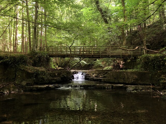
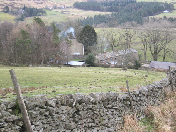
Snaisgill Plantation is a picturesque woodland located in the beautiful county of Durham, England. Situated near the village of Hamsterley, the plantation covers an area of approximately 500 hectares, making it one of the largest woodland areas in the region. It is a popular destination for nature lovers, hikers, and outdoor enthusiasts seeking tranquility amidst the lush greenery.

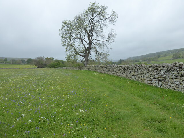
The plantation predominantly consists of coniferous trees, including Scots pine, Sitka spruce, and Douglas fir, which provide a dense canopy and create a peaceful atmosphere. The well-maintained trails and pathways throughout the woodland offer visitors the opportunity to explore the plantation's diverse flora and fauna.

Snaisgill Plantation is known for its rich biodiversity and is home to a variety of wildlife species. Birdwatchers can spot numerous feathered friends, such as woodpeckers, buzzards, and owls, while small mammals like squirrels and rabbits can be seen darting through the undergrowth. In addition, the plantation boasts a diverse range of plant life, with vibrant wildflowers carpeting the forest floor during the spring and summer months.

The woodland is managed by the Forestry Commission, ensuring its preservation and sustainable use. The plantation also serves as an important educational resource, with informative signage and educational activities available to visitors, promoting an understanding of forest management and conservation.

Whether it's a peaceful stroll, a challenging hike, or a chance to observe nature's wonders, Snaisgill Plantation offers a captivating experience for all those who appreciate the beauty of the natural world.

If you have any feedback on the listing, please let us know in the comments section below.

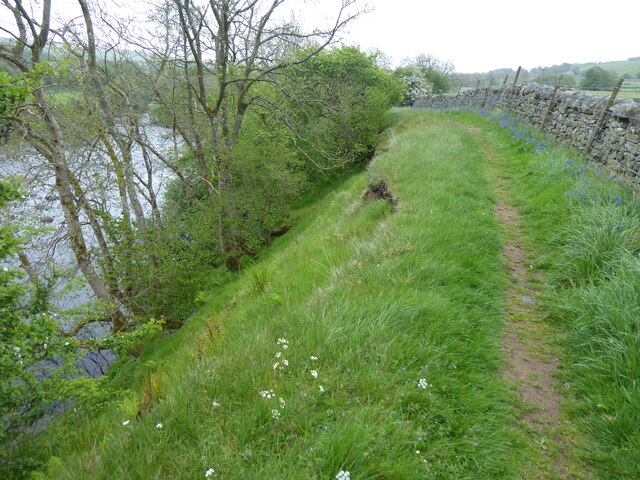
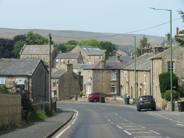
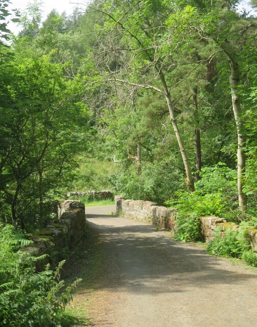
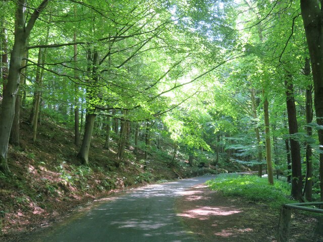
Snaisgill Plantation Images

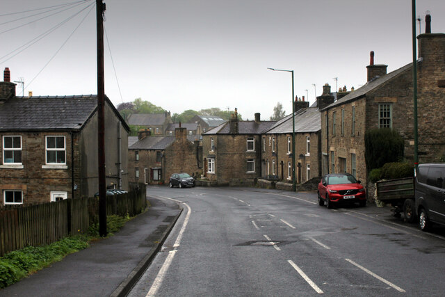
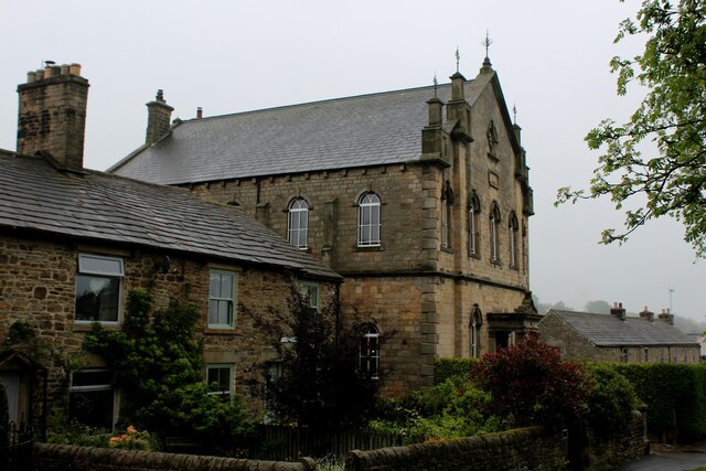
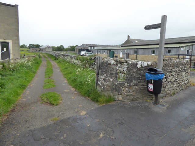
Images are sourced within 2km of 54.63289/-2.0815748 or Grid Reference NY9426. Thanks to Geograph Open Source API. All images are credited.

Rumours and Uttas Rumours coffee shop and the HQ of the Upper Teesdale Agricultural Support Services.
Rumours and Uttas
Rumours coffee shop and the HQ of the Upper Teesdale Agricultural Support Services.
Entering Middleton-in-Teesdale on the B6282 Entering the village on a wet day
Entering Middleton-in-Teesdale on the B6282
Entering the village on a wet day
Former Methodist Chapel, Middleton-in-Teesdale Former Primitive Methodist Church, now a private dwelling
Former Methodist Chapel, Middleton-in-Teesdale
Former Primitive Methodist Church, now a private dwelling
The Pennine Way near Middleton-in-Teesdale
The Pennine Way near East Crossthwaite
The Pennine Way near Middle Crossthwaite
Heading into Middleton in Teesdale The B6282 dropping into Middleton from the direction of Eggleston.
Heading into Middleton in Teesdale
The B6282 dropping into Middleton from the direction of Eggleston.
Bridge at the road end Bridge over Hudeshope Beck at the point where the tarmac runs out and a footpath begins.
Bridge at the road end
Bridge over Hudeshope Beck at the point where the tarmac runs out and a footpath begins.
Road through the woods Heading south towards Middleton in Teesdale along the minor road above the Hudeshope Beck.
Road through the woods
Heading south towards Middleton in Teesdale along the minor road above the Hudeshope Beck.
Window tracery from former church Grade II listed C13th window tracery from former church of St Mary, set in the graveyard of the modern church.
Window tracery from former church
Grade II listed C13th window tracery from former church of St Mary, set in the graveyard of the modern church.
Footbridge across Hudeshope Beck
Skears Lime Kilns A group of 6 lime kilns of varying age adjacent to the former Skears Quarry.
Skears Lime Kilns
A group of 6 lime kilns of varying age adjacent to the former Skears Quarry.
Dales Chapel, Middleton-in-Teesdale Former Primitive Methodist Chapel dated 1872.
Dales Chapel, Middleton-in-Teesdale
Former Primitive Methodist Chapel dated 1872.
Arch, Masterman Place, Middleton in Teesdale Archway over narrow road, dated 1823. By Ignatius Bonomi for the London Lead Company. Coursed squared sandstone with ashlar dressings. Classical style. High arch over entrance to new development by the company, providing housing for their most valued workers.
Grade II Listed (List Entry: 1203547) <span class="nowrap"><a title="https://historicengland.org.uk/listing/the-list/list-entry/1203547" rel="nofollow ugc noopener" href="https://historicengland.org.uk/listing/the-list/list-entry/1203547">Link</a><img style="margin-left:2px;" alt="External link" title="External link - shift click to open in new window" src="https://s1.geograph.org.uk/img/external.png" width="10" height="10"/></span>
Arch, Masterman Place, Middleton in Teesdale
Archway over narrow road, dated 1823. By Ignatius Bonomi for the London Lead Company. Coursed squared sandstone with ashlar dressings. Classical style. High arch over entrance to new development by the company, providing housing for their most valued workers. Grade II Listed (List Entry: 1203547) LinkExternal link
Arch, Masterman Place, Middleton in Teesdale See description here: <a href="https://www.geograph.org.uk/photo/7291750">NY9425 : Arch, Masterman Place, Middleton in Teesdale</a>
Arch, Masterman Place, Middleton in Teesdale
Dale View from Masterman Place
House, Masterman Place, Middleton in Teesdale House and wall adjacent to Masterman Place arch. Former Reading room built in 1854 for the London Lead Company. Now a private house.
Grade II Listed (List Entry 1121590): <span class="nowrap"><a title="https://historicengland.org.uk/listing/the-list/list-entry/1121590" rel="nofollow ugc noopener" href="https://historicengland.org.uk/listing/the-list/list-entry/1121590">Link</a><img style="margin-left:2px;" alt="External link" title="External link - shift click to open in new window" src="https://s1.geograph.org.uk/img/external.png" width="10" height="10"/></span>
House, Masterman Place, Middleton in Teesdale
House and wall adjacent to Masterman Place arch. Former Reading room built in 1854 for the London Lead Company. Now a private house. Grade II Listed (List Entry 1121590): LinkExternal link
Show me another place!

Snaisgill Plantation is located at Grid Ref: NY9426 (Lat: 54.63289, Lng: -2.0815748)

Unitary Authority: County Durham

Police Authority: Durham

What 3 Words

///nearly.uptake.beginning. Near Mickleton, Co. Durham

Related Wikis

High Dyke, County Durham

High Dyke is a village in County Durham, in England. It is situated a short distance to the north of Middleton-in-Teesdale. == References ==

Aukside

Aukside is a small village in County Durham, in England. It is situated on the north side of Teesdale, a short distance from Middleton-in-Teesdale. It...

Snaisgill

Snaisgill is a hamlet in County Durham, in England. It is situated to the north of Middleton-in-Teesdale. The surrounding area was extensively mined for...

Middleton-in-Teesdale

Middleton-in-Teesdale is a market town and civil parish in County Durham, England. It is in Teesdale, on the River Tees's north banks, and surrounded by...

Nearby Amenities

Located within 500m of 54.63289,-2.0815748
Bus Stop
Town Head
Bench: yes
Bin: no
Lit: no
Naptan AtcoCode: 13007004A
Naptan Bearing: N
Naptan CommonName: Town Head
Naptan Indicator: north bound
Naptan Landmark: Landmark not known
Naptan NaptanCode: durdwapd
Naptan Notes: North West of 28 Town Head- Middleton-in-Teesdale
Naptan Street: Street not known
Naptan Verified: no
Shelter: yes
Source: naptan_import
Tactile Paving: no
Lat/Long: 54.6286922/-2.0829642
Bus Stop
Town Head
Bench: no
Bin: no
Lit: no
Naptan AtcoCode: 13007004E
Naptan Bearing: S
Naptan CommonName: Town Head
Naptan Indicator: south bound
Naptan Landmark: Landmark not known
Naptan NaptanCode: durdwapg
Naptan Notes: Outside 28 Town Head- Middleton-in-Teesdale
Naptan Street: Street not known
Naptan Verified: no
Shelter: no
Source: naptan_import
Tactile Paving: no
Lat/Long: 54.6286114/-2.0828401
Bus Stop
High Dyke
Naptan AtcoCode: 13007858B
Naptan Bearing: NE
Naptan CommonName: High Dyke
Naptan Indicator: north east bound
Naptan Landmark: Landmark not known
Naptan NaptanCode: durgajtp
Naptan Notes: Opposite Cockland Nook- High Dyke- Middleton-in-Teesdale
Naptan Street: Street not known
Naptan Verified: no
Source: naptan_import
Lat/Long: 54.6319976/-2.0809031
Bus Stop
High Dyke
Naptan AtcoCode: 13007858F
Naptan Bearing: SW
Naptan CommonName: High Dyke
Naptan Indicator: south west bound
Naptan Landmark: Landmark not known
Naptan NaptanCode: durgajtw
Naptan Notes: Outside Cockland Nook- High Dyke- Middleton-in-Teesdale
Naptan Street: Street not known
Naptan Verified: no
Source: naptan_import
Lat/Long: 54.6319557/-2.0810809
High Dyke
Alt Name: High Dike
Place: hamlet
Source: OS 1:25k
Wikidata: Q5755350
Wikipedia: en:High Dyke, County Durham
Lat/Long: 54.6308643/-2.0785415
Abandoned Man Made: adit
Description: old level
Note: exact location uncertain
Resource: lead
Source: NLS-OS-NatGrid-110k-1940-60
Lat/Long: 54.6361893/-2.0801244
Barrier: entrance
Lat/Long: 54.6317476/-2.0870901
Waste Basket
Lat/Long: 54.6313708/-2.083926
The data included in this document is from www.openstreetmap.org. The data is made available under ODbL.

Have you been to Snaisgill Plantation?

Leave your review of Snaisgill Plantation below (or comments, questions and feedback).