Borough Head

Coastal Feature, Headland, Point in Pembrokeshire

Wales

Borough Head

Rocky outcrop at Ticklas Point Looking over the bay towards Broad Haven and Nolton Haven.
Rocky outcrop at Ticklas Point Credit: Deborah Tilley

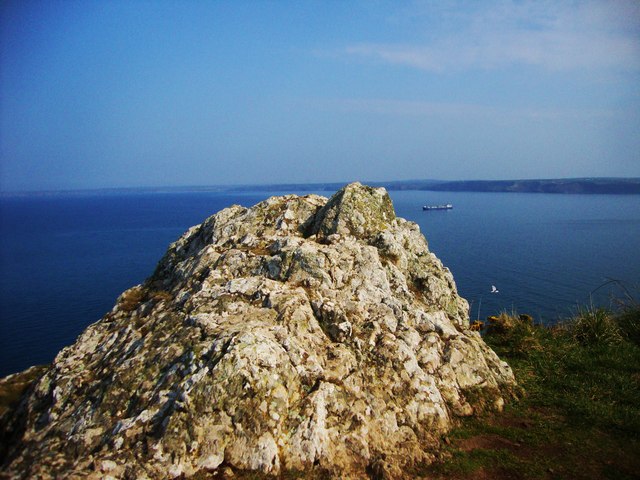
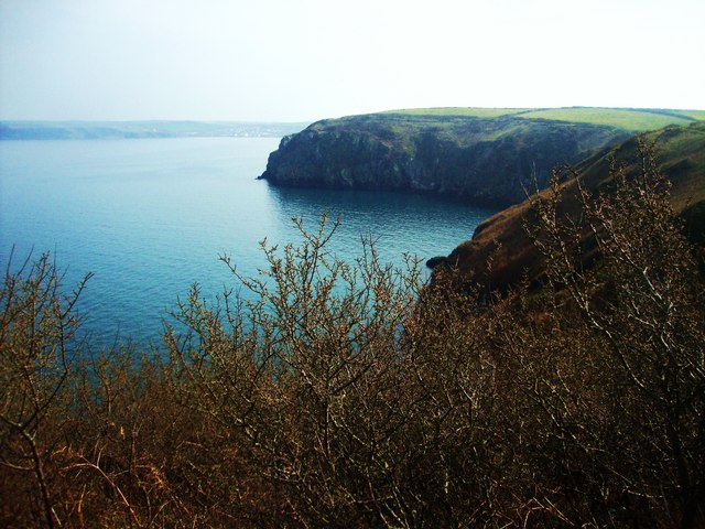
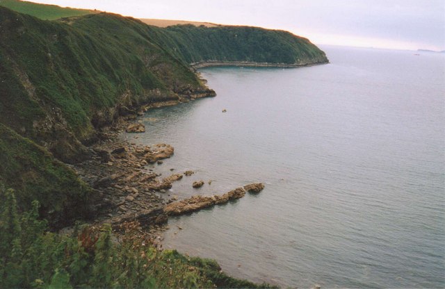
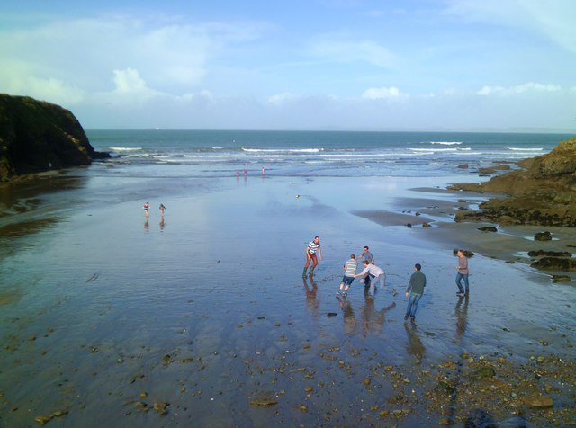
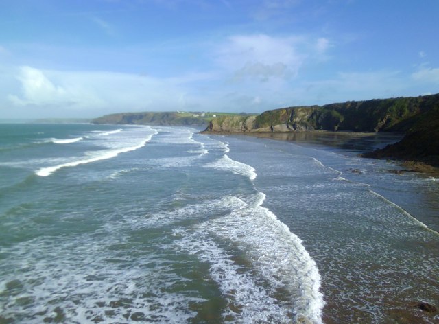
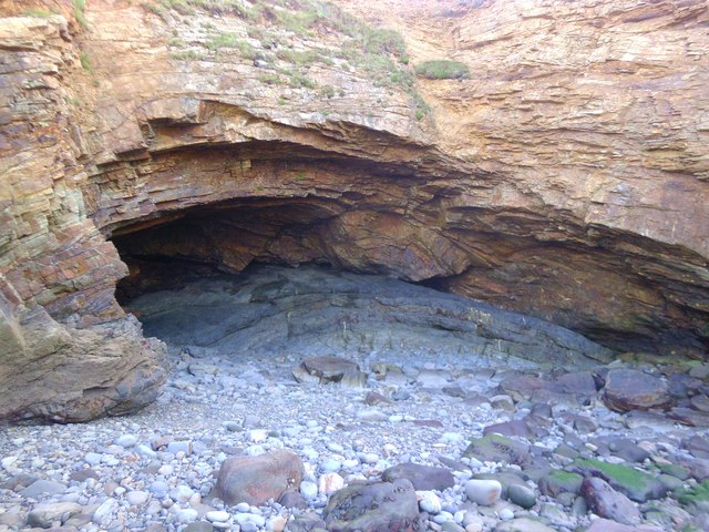
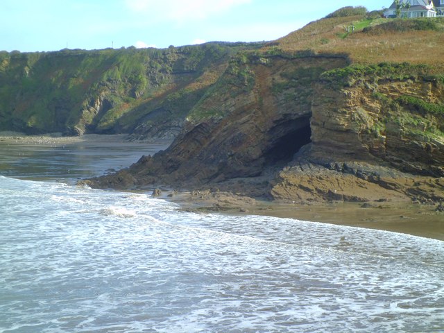
Borough Head is a prominent headland located on the coast of Pembrokeshire, Wales. It is known for its rugged cliffs, stunning views of the surrounding coastline, and diverse wildlife. The headland juts out into the sea, offering panoramic views of the Irish Sea to the west and the Pembrokeshire Coast National Park to the east.

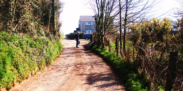
Borough Head is a popular destination for hikers and nature enthusiasts, with several walking trails that lead to the headland from nearby towns and villages. The headland is home to a variety of bird species, including seabirds such as gulls and cormorants, as well as rare species like choughs and peregrine falcons.

Visitors to Borough Head can enjoy breathtaking views of the sea and the surrounding countryside, as well as explore the rocky shoreline and tidal pools that are exposed at low tide. The headland is also a great spot for watching the sunset or spotting seals and dolphins in the waters below. Overall, Borough Head is a must-visit destination for anyone looking to experience the natural beauty of the Pembrokeshire coast.

If you have any feedback on the listing, please let us know in the comments section below.
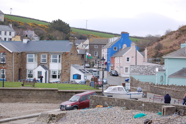
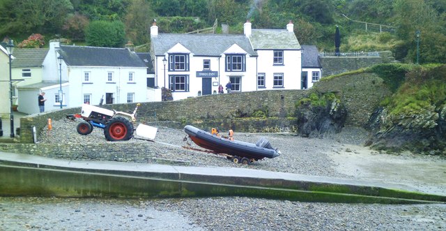
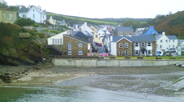
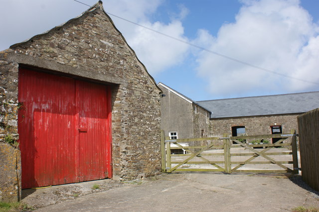
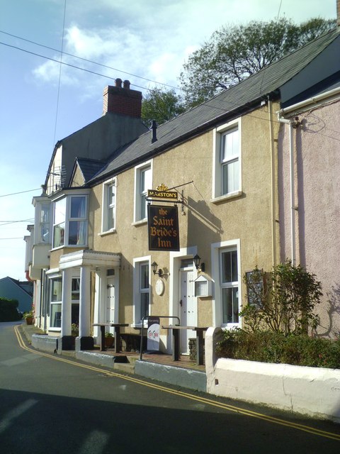
Borough Head Images

Images are sourced within 2km of 51.771736/-5.1352351 or Grid Reference SM8312. Thanks to Geograph Open Source API. All images are credited.

Rocky outcrop at Ticklas Point Looking over the bay towards Broad Haven and Nolton Haven.
Rocky outcrop at Ticklas Point
Looking over the bay towards Broad Haven and Nolton Haven.
Looking to Borough Head Viewed across the cove known as Holywell.
Looking to Borough Head
Viewed across the cove known as Holywell.
Lane to Broadmoor Farm
Little Haven Attractive little cove with a slipway for the inshore lifeboat. There has been a lifeboat station here since 1882.
Little Haven
Attractive little cove with a slipway for the inshore lifeboat. There has been a lifeboat station here since 1882.
Coastline at Little Haven
Little Haven
Little Haven
Swan Inn, Little Haven Pub/restaurant by the shore in this tiny village.
Swan Inn, Little Haven
Pub/restaurant by the shore in this tiny village.
Little Haven Attractive village of colour washed cottages in a deep valley that opens out to the sea.
Little Haven
Attractive village of colour washed cottages in a deep valley that opens out to the sea.
St Mary's Church, Talbenny The parish church of Talbenny is surrounded by fields on the cliff top between the village and Little Haven.
St Mary's Church, Talbenny
The parish church of Talbenny is surrounded by fields on the cliff top between the village and Little Haven.
Upper Talbenny Farm
Upper Talbenny Farm
Barns undergoing conversion at Talbenny Hall Farm Looking south along the Dale road towards South Hill.
Barns undergoing conversion at Talbenny Hall Farm
Looking south along the Dale road towards South Hill.
Mucking about on the beach An impromptu game of beach rugby at Little Haven.
Mucking about on the beach
An impromptu game of beach rugby at Little Haven.
St Bride's Inn The St Bride's is one of 3 pubs in this tiny seaside village.
St Bride's Inn
The St Bride's is one of 3 pubs in this tiny seaside village.
Looking north across The Settlands The view north along the coast from The Point at Little Haven. The first bay in view is The Settlands which is followed by the minor headland of The Rain, beyond which is the beach at Broad Haven.
Looking north across The Settlands
The view north along the coast from The Point at Little Haven. The first bay in view is The Settlands which is followed by the minor headland of The Rain, beyond which is the beach at Broad Haven.
Close up of Fox Hole Cave The cave has developed in a small anticline of coal measures strata and clearly shows differential erosion in sedimentary rocks. The roof of the cave is of more resistant sandstones, whilst the cave has eroded out of softer mudstone and a very thin coal seam.
Close up of Fox Hole Cave
The cave has developed in a small anticline of coal measures strata and clearly shows differential erosion in sedimentary rocks. The roof of the cave is of more resistant sandstones, whilst the cave has eroded out of softer mudstone and a very thin coal seam.
Fox Hole, Little Haven A prominent cave formed in the coal measures series of rocks that form the coastline along much of the eastern side of St Bride's Bay. See close up photo for more detailed description.
Fox Hole, Little Haven
A prominent cave formed in the coal measures series of rocks that form the coastline along much of the eastern side of St Bride's Bay. See close up photo for more detailed description.
Little Haven beach - tide in At high tide, just a shingle bank and the slipway.
Little Haven beach - tide in
At high tide, just a shingle bank and the slipway.
Little Haven from the west
Show me another place!

Borough Head is located at Grid Ref: SM8312 (Lat: 51.771736, Lng: -5.1352351)

Unitary Authority: Pembrokeshire

Police Authority: Dyfed Powys

What 3 Words

///apes.tribes.people. Near Broad Haven, Pembrokeshire

Nearby Locations

Holywell Borough Head

Related Wikis

RAF Talbenny

Royal Air Force Talbenny, or more simply RAF Talbenny, is a former Royal Air Force station located 5.6 miles (9.0 km) north west of Milford Haven, Pembrokeshire...

Little and Broad Haven Lifeboat Station

Little and Broad Haven Lifeboat Station is a Royal National Lifeboat Institution (RNLI) lifeboat station in Pembrokeshire, West Wales. The station was...
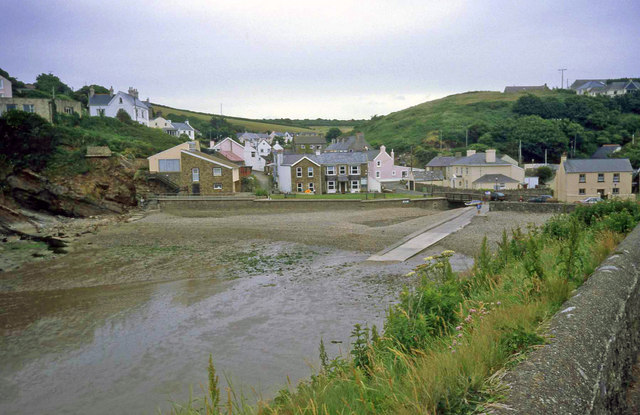
Little Haven

Little Haven (Welsh: Hafan Fach) is a village at the south-east corner of St Bride's Bay, Pembrokeshire, Wales. It is in the Pembrokeshire Coast National...

Broad Haven

Broad Haven (Welsh: Aberllydan) is a village and seaside resort in the south east corner of St Bride's Bay at the western terminus of the B4341 road in...

Nearby Amenities

Located within 500m of 51.771736,-5.1352351
Goultrop Roads
Natural: bay
Lat/Long: 51.7703992/-5.1289627
The data included in this document is from www.openstreetmap.org. The data is made available under ODbL.

Have you been to Borough Head?

Leave your review of Borough Head below (or comments, questions and feedback).